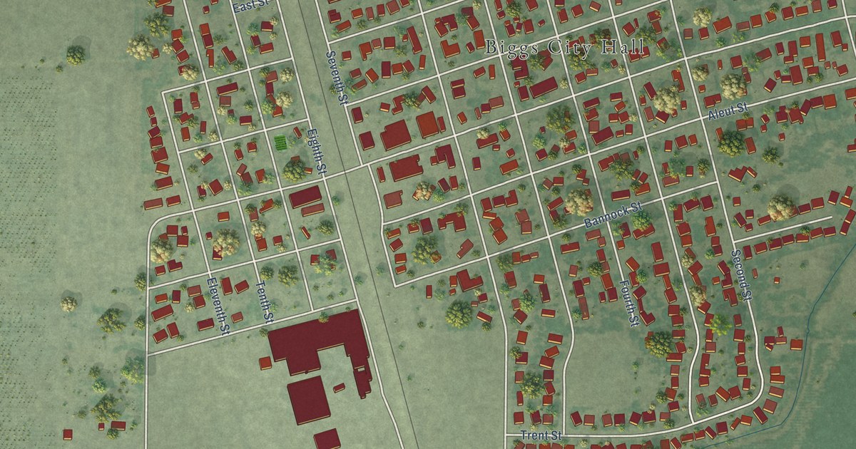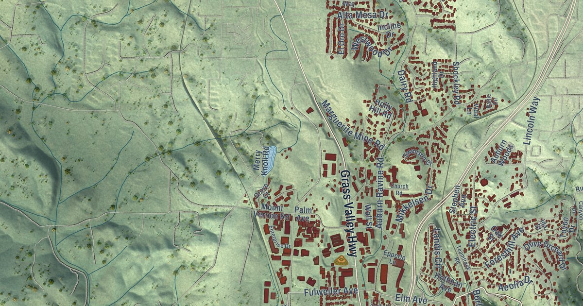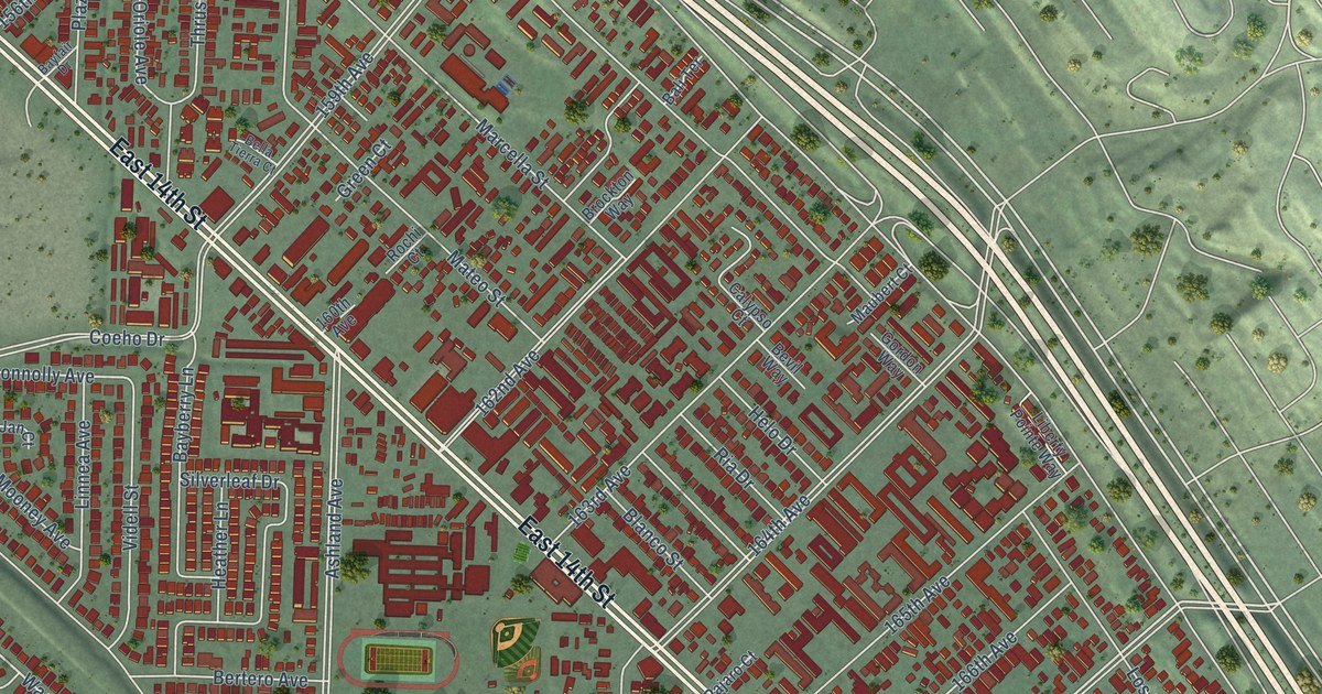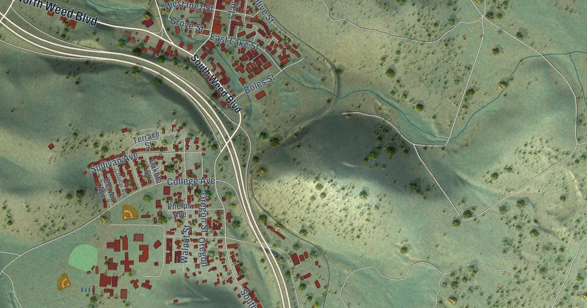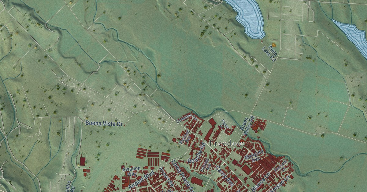
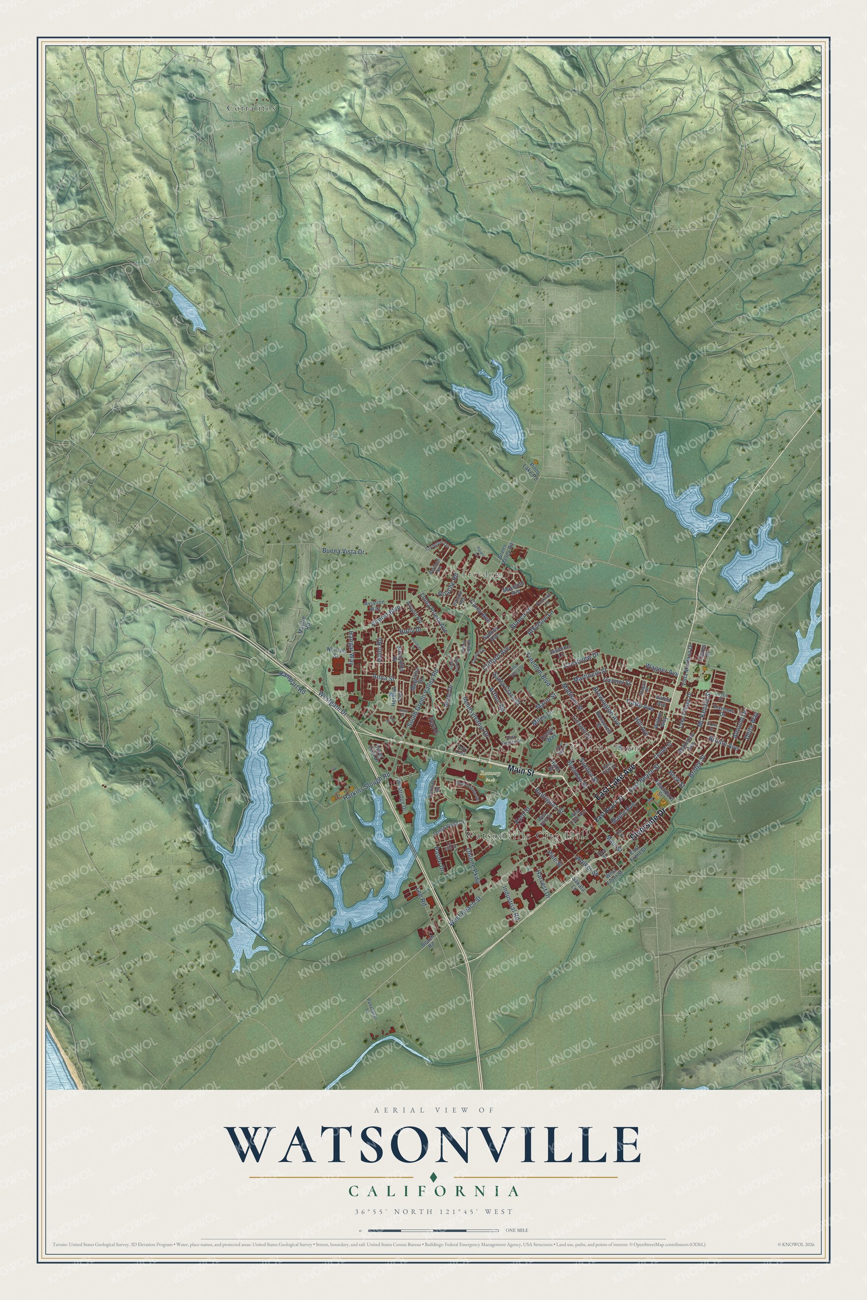
This beautifully detailed map of Watsonville, California was created in 2026 using aerial imagery combined with modern topographical, census, street and landmark data. It's a modern aerial view of Watsonville in Santa Cruz County, California, that combines modern data with a vintage aesthetic. The roads feature printed names, and if you look closely you can find your exact house accurately shown in its correct location.
Explore an aerial view of Watsonville, California
On this map you'll find Watsonville City Hall, Freedom, Colache Town, Ramsay Park, Corralitos, Main Street, East Lake Avenue, Riverside Drive, Freedom Boulevard, Pennsylvania Drive, Lincoln Street, Rodriguez Street, and more. Each red shape is a building, so zoom in on the preview and look for yours.
Watsonville has a story worth telling. The California State Parks puts it this way: "The Castro Adobe is an outstanding example of Monterey Colonial architectural styling."
Watsonville is a city in Santa Cruz County. The Census Bureau counted 52,590 people here in 2020.
Take a closer look at the Watsonville map
Names on this map
These names are printed on this map.
Places: Watsonville City Hall, Freedom, Colache Town, Ramsay Park and Corralitos.
Streets and roads: Main Street, East Lake Avenue, Riverside Drive, Freedom Boulevard, Pennsylvania Drive, Lincoln Street, Rodriguez Street, West Beach Street, Ohlone Parkway, Paseo Drive, South Green Valley Road, Bronte Avenue.
More street names, A to Z
Airport Boulevard, Airport Road, Almond Drive, Alta Vista Street, Anna Street, Arthur Road, Atkinson Lane, Auto Center Drive, Aviation Way, Beach Road, Beck Street, Blackburn Street, Blanca Lane, Brennan Street, Brewington Avenue, Bridge Street, Buena Vista Drive, Burchell Avenue, Carey Avenue, Carmel Street, Center Street, Cipres Street, Clifford Avenue, Compton Terrace, Crescent Drive, Crespi Way, Crestview Drive, Delta Way, East Beach Street, East Fifth Street, East Front Street, Eaton Avenue, Elm Street, El Rio Street, First Street, Ford Street, Green Valley Road, Hangar Way, Harkins Slough Road, Harvest Drive, Herman Avenue, Hill Avenue, Hillside Avenue, Holly Drive, Holm Road, Hope Drive, Hyde Street, Industrial Road, Inez Street, Jasmine Lane, Joyce Drive, La Jolla Street, Lake Village Drive, Lee Road, Loma Prieta Avenue, Loma Vista Drive, Madison Street, Magnolia Drive, Manfre Road, Maple Avenue, Marigold Avenue, Marin Street, Martinelli Street, McKenzie Avenue, Mc Kenzie Street, Miles Lane, Neilson Street, Oregon Street, Packard Lane, Pajaro Lane, Panabaker Lane, Pelican Drive, Pera Drive, Pine Street, Pinto Lake Road, Rampart Road, Roache Road, Rockins Lane, Roosevelt Street, Sakata Lane, Santa Clara Street, Silver Leaf Drive, Sudden Street, Sunnyhills Drive, Sydney Avenue, Terry Loop, Tuttle Avenue, Vista Montana Drive, Vista Pointe Drive, Vista Street, Vivienne Drive, Wagner Avenue, Walker Street, West Fifth Street, West Front Street, Westgate Drive, West High Street, West Lake Avenue, Westridge Drive, Willow Creek Street, Willow Way, Winding Way.
Created by KNOWOL in 2026. The buildings are small red shapes, the roads carry their printed names, and shaded relief shows the shape of the land. The title panel reads "AERIAL VIEW OF WATSONVILLE CALIFORNIA" with 36°55' NORTH 121°45' WEST.
It looks right in a kitchen, an office or a den, and it's a gift for anyone who grew up in Watsonville or moved away. Open the preview and find your street. See sizes and frames for the Watsonville map.