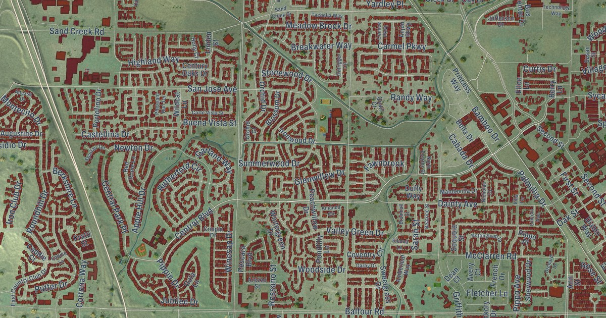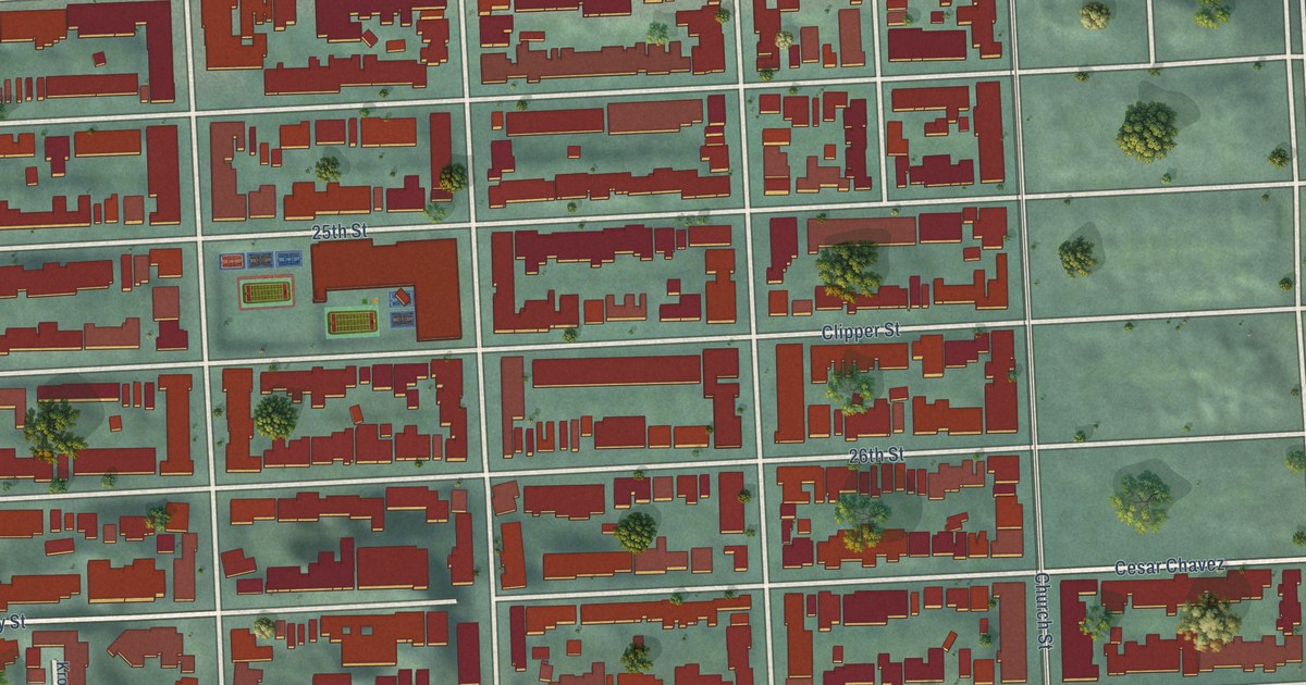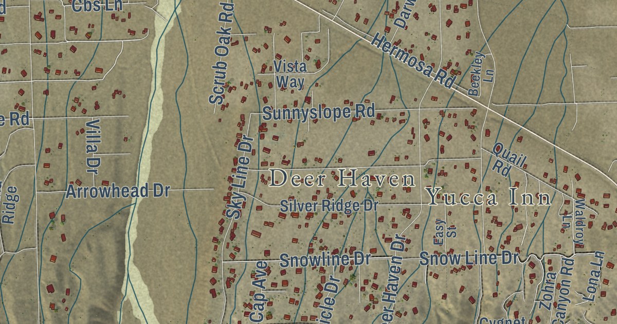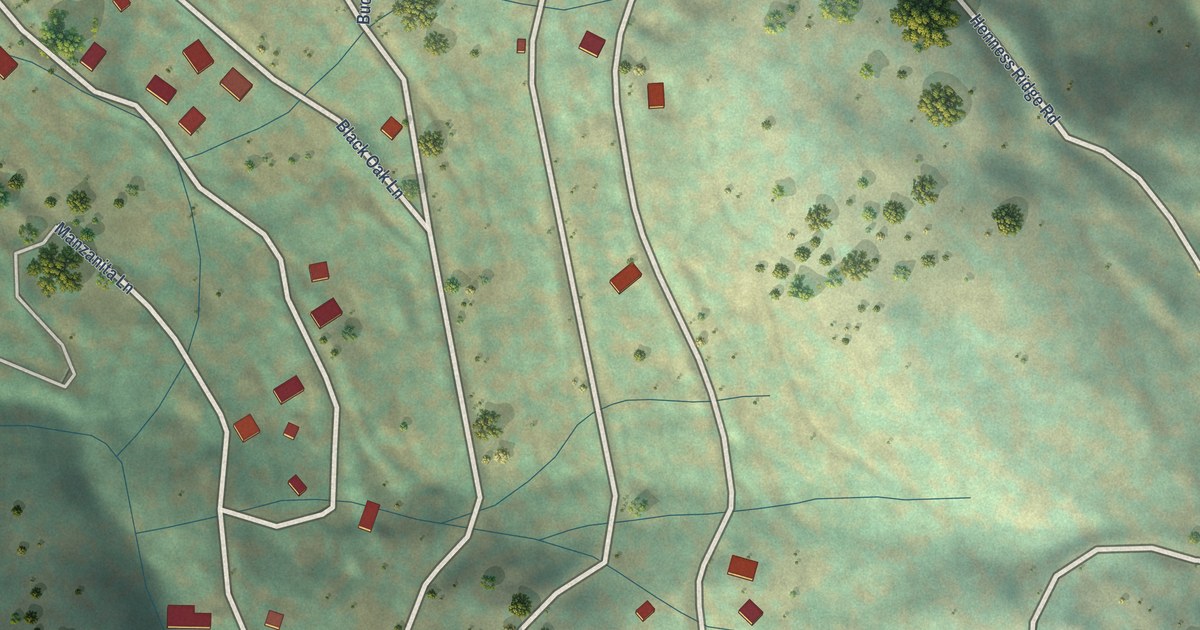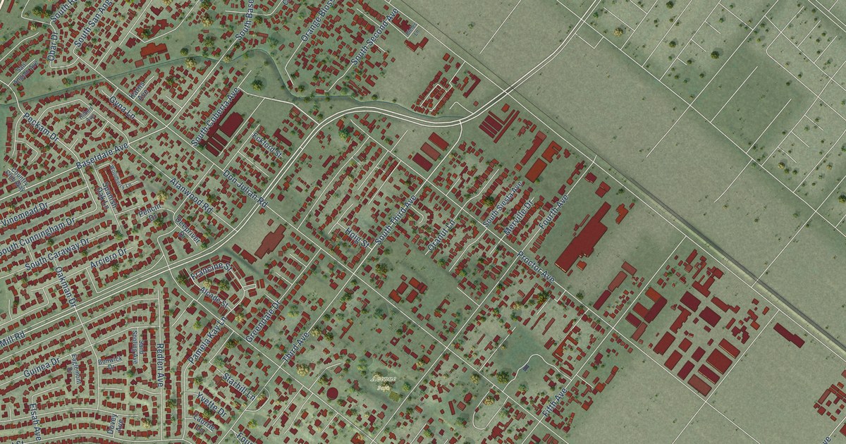
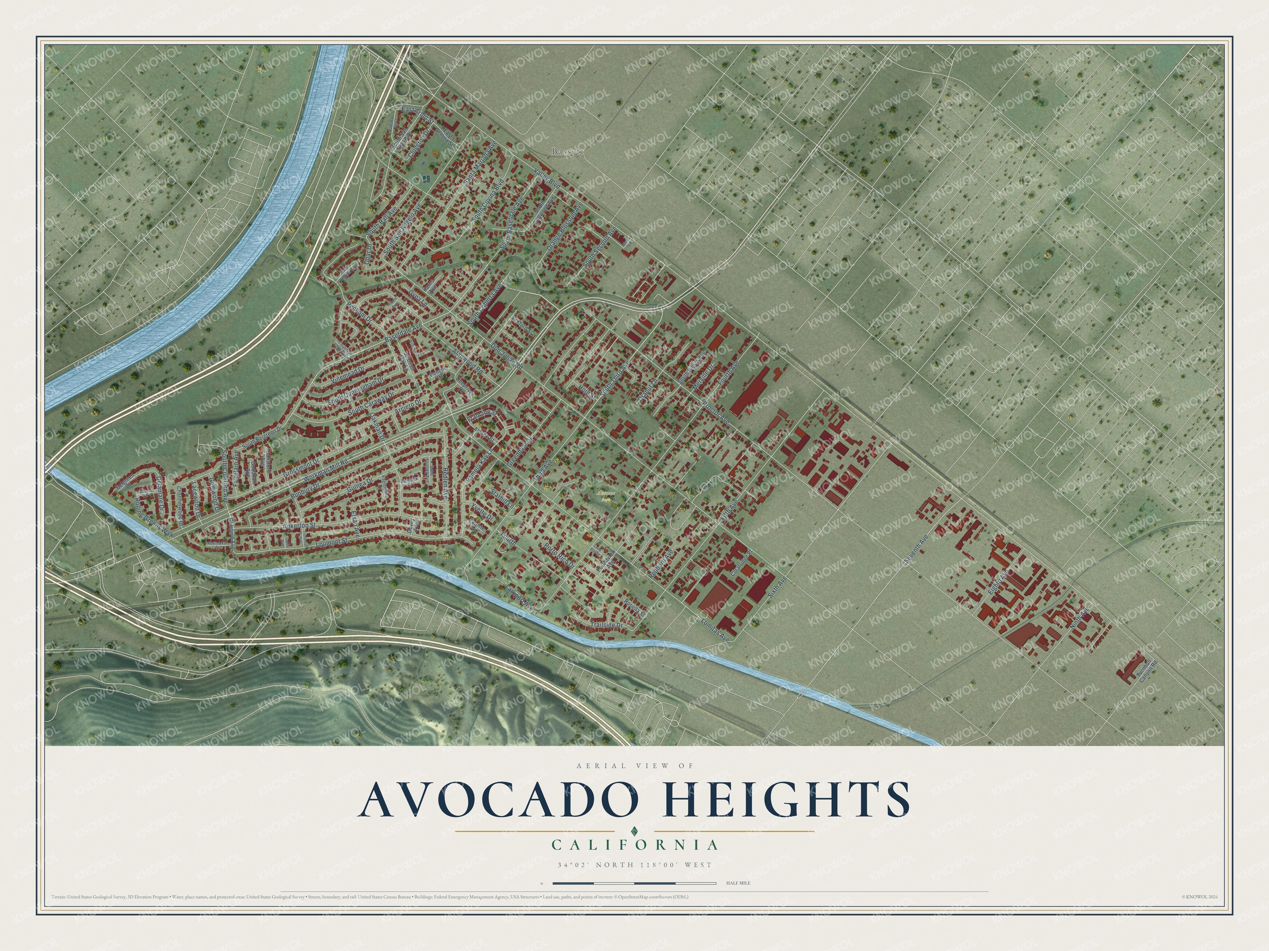
This beautifully detailed map of Avocado Heights, California was created in 2026 using aerial imagery combined with modern topographical, census, street and landmark data. It’s a one-of-a-kind view of Avocado Heights that combines accurate data with a vintage aesthetic. The map shows every building in its true location, many of the roads carry their names, and the shaded topographic relief shows the shape of the land.
Explore an aerial view of Avocado Heights, California
On the map you’ll find Bassett and Avenue Park, along with Workman Mill Road, South Third Avenue, Basetdale Avenue, Seventh Avenue, Peckam Drive, East Arillo Street, Valley Boulevard, Proctor Avenue, Don Julian Road, Lomitas Avenue, and more. If you look closely you can even find your house accurately drawn in its correct location. Zoom in on the preview to look for yours.
Did you know this about Avocado Heights, California?
From the Los Angeles County Planning: "According to Paul Spitzzeri, promoters of the avocado industry planted the fruit in the area around the 1910s, giving Avocado Heights its name."
Take a closer look at the Avocado Heights map
Street and place names on the Avocado Heights, California map
These names are printed on the map of Avocado Heights, California.
Places: Bassett and Avenue Park.
Streets and roads: Workman Mill Road, South Third Avenue, Basetdale Avenue, Seventh Avenue, Peckam Drive, East Arillo Street, Valley Boulevard, Proctor Avenue, Don Julian Road, Lomitas Avenue, Fourth Avenue, Fifth Avenue.
More street names, A to Z
Alanwood Road, Alcade Street, Ankerton Street, Arciero Drive, Belgreen Drive, Bielec Lane, Bonwick Drive, Bunbury Drive, Channelwood Drive, Clogston Drive, Coleford Avenue, Coralridge Place, Country Club Way, Deepriver Drive, Delamare Drive, Dovey Avenue, Eaglemont Drive, East Senora Street, Eckford Street, Eighth Avenue, Elsah Avenue, Fairplain Avenue, Fontenoy Avenue, Forestview Avenue, Fourth, Francine Street, Garin Avenue, Gemwood Drive, Goodhart Avenue, Greendale Drive, Grossmont Drive, Guinea Drive, Gyna Lane, Hansford Avenue, Hilbert Avenue, Hoig Street, Karns Avenue, Lacewood Drive, Larkport Avenue, Laurrie Lane, Lone Star Street, Loumont Street, Merville Drive, Newmarket Street, Ninth Avenue, Oakman Drive, Obar Drive, Orange Blossom Avenue, Oranut Lane, Pamela Kay Lane, Pencin Drive, Porto Rico Drive, Ramada Avenue, Redburn Avenue, Redlen Avenue, Rolling Greens Way, Rosella Street, San Angelo Avenue, Sand Spoling Avenue, Santa Mariana Avenue, Sixth Avenue, South Basetdale Avenue, South Belgreen Drive, South Caraway Drive, South Coberta Avenue, South Coleford Avenue, South Collwood Avenue, South Covina Boulevard, South Cunningham Drive, South Rall Avenue, South San Angelo Avenue, South San Fidel Avenue, South Second Avenue, South Siesta Avenue, Spanish Oak Lane, Starhill Lane, Third Avenue, Trailside Drive, Turnbull Canyon Road, Valaressa Lane, Vinemead Drive, Woodberry Lane, Yvette Drive.
See the Avocado Heights, California map on a wall
The Avocado Heights map as an 18 x 24 inch print in a black frame.

This beautifully detailed map of Avocado Heights makes an attractive addition to your office, library, or den, and it can even be used to teach children the geography and history of the area. It also makes a great gift for anyone with Avocado Heights roots. When you’re done exploring, click here to get your copy of the Avocado Heights map.