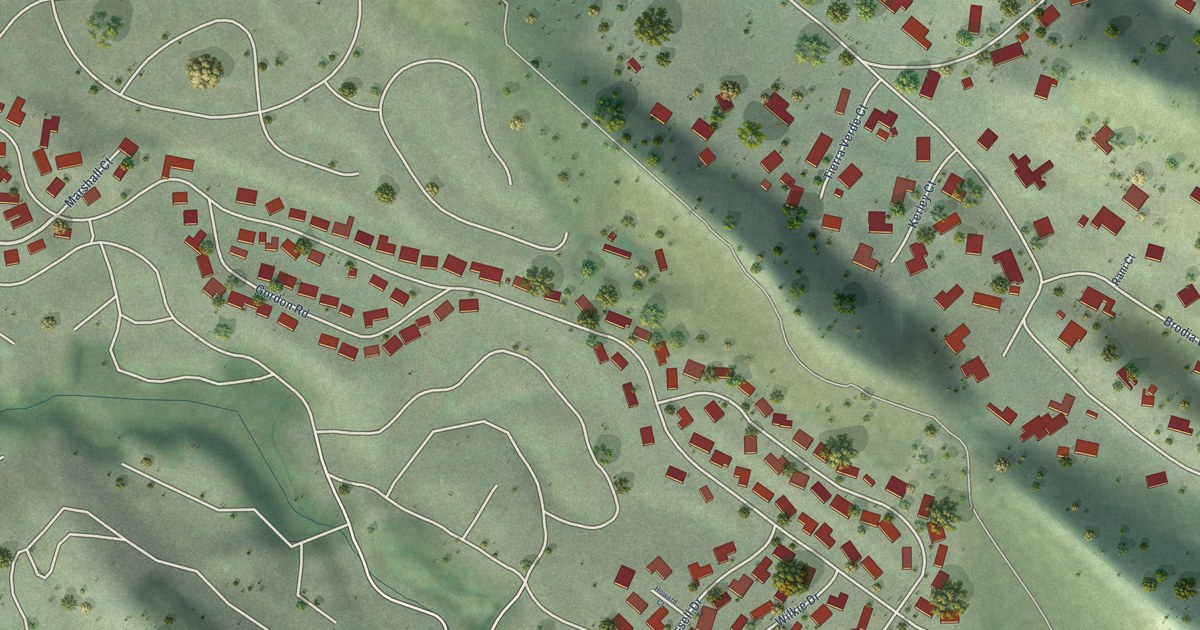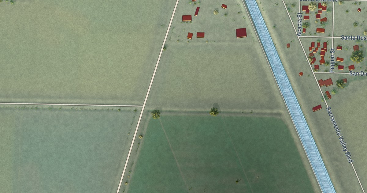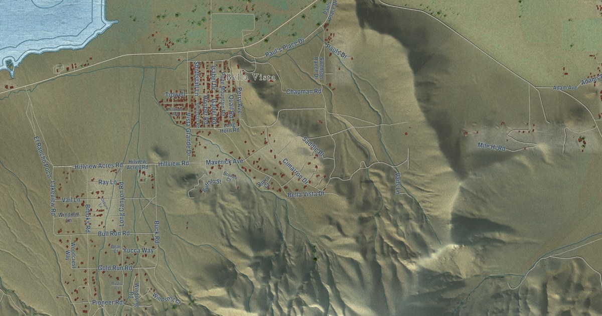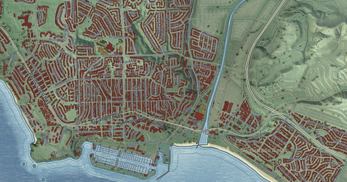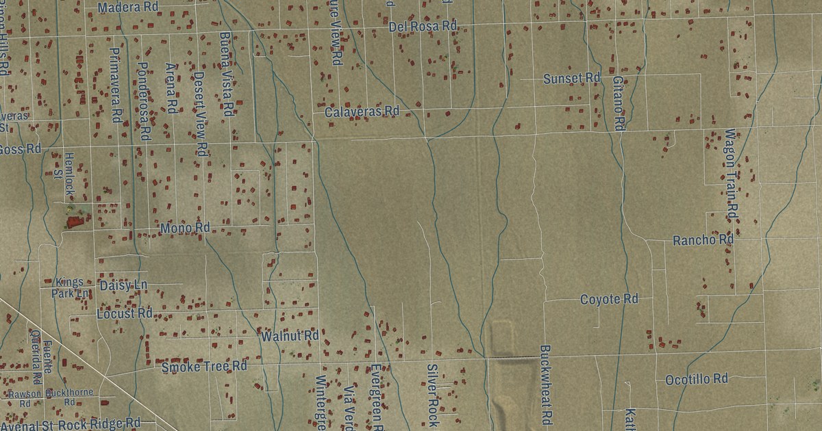
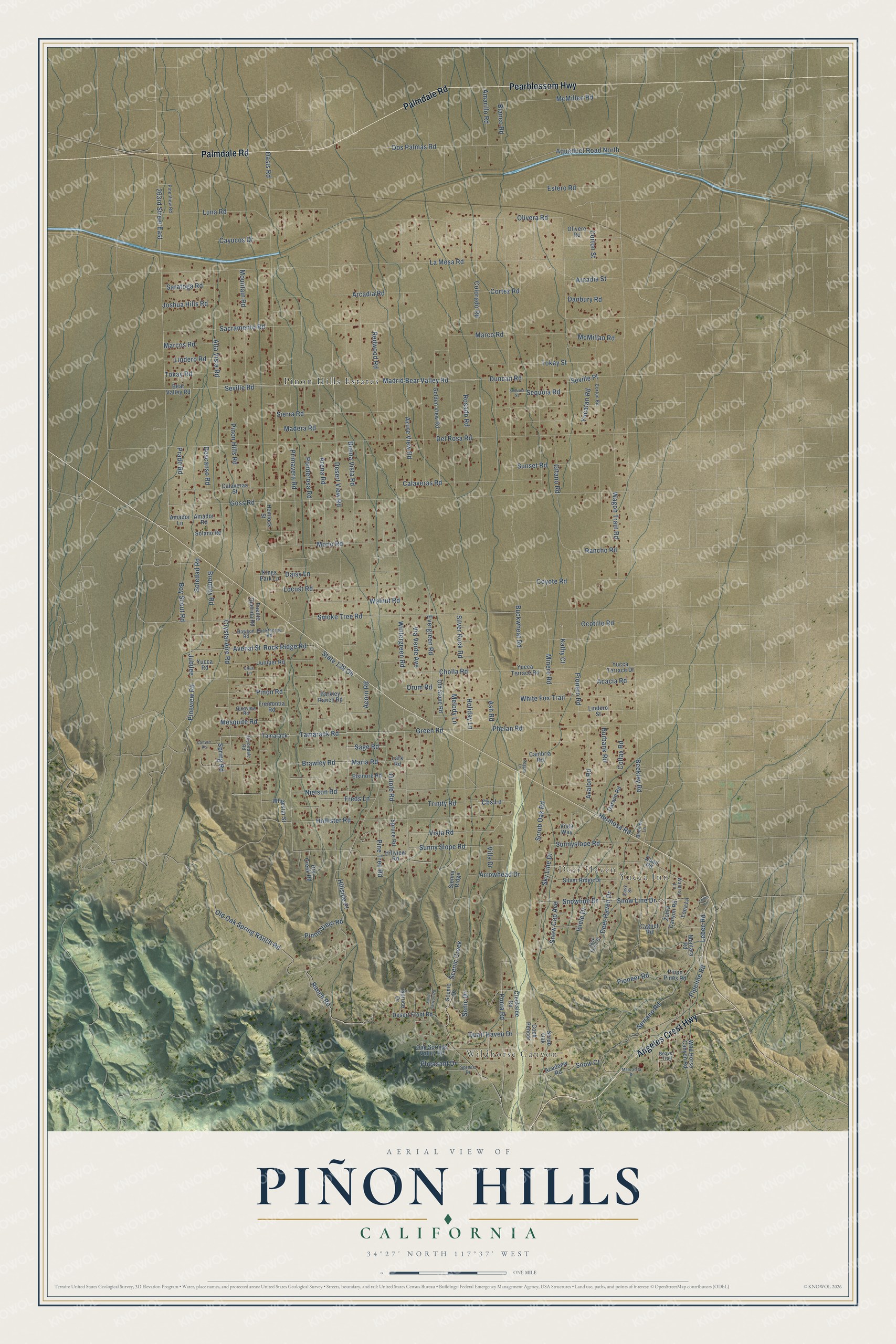
This beautifully detailed map of Piñon Hills, California was created in 2026 using aerial imagery combined with modern topographical, census, street and landmark data. It's a modern aerial view of Piñon Hills in San Bernardino County, California, that combines modern data with a vintage aesthetic. The roads feature printed names, and if you look closely you can find your exact house accurately shown in its correct location.
Explore an aerial view of Piñon Hills, California
On this map you'll find Wildhorse Canyon, Yucca Inn, Deer Haven, Pinon Hills Estates, Palmdale Road, Pearblossom Highway, Angeles Crest Highway, Desert View Road, Wintergreen Road, Phelan Road, Hollister Road, Pipeline Road, and more. Each red shape is a building, so zoom in on the preview and look for yours.
Piñon Hills is a community in San Bernardino County. The Census Bureau counted 7,258 people here in 2020. Piñon Hills sits about 6 miles west of Phelan, 7 miles north of Wrightwood and 13 miles west of Oak Hills. The map prints the town name in its title panel, with the coordinates below it.
Take a closer look at the Piñon Hills map
Names on this map
These names are printed on this map.
Places: Wildhorse Canyon, Yucca Inn, Deer Haven and Pinon Hills Estates.
Streets and roads: Palmdale Road, Pearblossom Highway, Angeles Crest Highway, Desert View Road, Wintergreen Road, Phelan Road, Hollister Road, Pipeline Road, Tamarack Road, Serrano Road, Lindero Road, Corton Street.
More street names, A to Z
263rd Street East, Acacia Road, Academy Road, Acorn Road, Alta Vista Road, Amador Lane, Amador Road, Amarillo Road, Aqueduct Road North, Arcadia Road, Arcadia Street, Arena Road, Arrowhead Drive, Ash Road, Avalon Road, Avenal Street, Azure View Road, Barkley Ranch Road, Bear Valley Road, Beaver Trail, Beekley Lane, Beekley Road, Blanco Road, Boy Scout Road, Brawley Road, Bromley Road, Buckthorne Road, Buckwheat Road, Buena Vista Road, Burbank Road, Calaveras Road, Calaveras Street, Cambria Road, Canyon Road, Cayucos Drive, Cbs Lane, Cholla Road, Clyoedale Road, Colfax Road, Colorado Road, Cook Pencer, Cortez Road, Corton Road, Coyote Road, Creekside Road, Crystal Aire Road, Cygnet Road, Daisy Lane, Danbury Road, Darwin Road, Deer Haven Drive, Del Rosa Road, Descanso Road, Desert Front Road, Dos Palmas Road, Dry Creek Road, Duncan Road, Easy Street, Elsinore Road, Estero Road, Evergreen Road, Freds Lane, Fremontia Road, Fuente Querida Road, Gitano Road, Glenview Road, Golden View Road, Goss Road, Green Road, Hemlock Street, Hermosa Road, Hillside Place, Hillview Road, Holiday Lane, Icicle Drive, Jack Frost Drive, Joshua Hills Road, Jubilee, Juniper Road, Kathy Court, Kings Park Lane, La Mesa Road, Lark Road, Lebec Road, Lilac Lane, Lindero Street, Locust Road, Loma Lane, Lona Lane, Luna Road, Madera Road, Madrid Bear Valley Road, Manzanita Drive, Marco Road, Marcos Road, Maria Road, McMillan Road, McMillen Road, Melody Lane, Mesquite Road, Minero Road, Mono Road, Montara Road, Mountain Road, Nielson Road, Oak Springs Valley Road, Oasis Road, Ocotillo Road, Old Oak Spring Ranch Road, Old Stone Road, Olivera Road, Olivero Road, Oriole Road, Orum Road, Peggys Lane, Pheasant Drive, Pine Tree Road, Pineview Road, Pine View Road, Pinon Hills Road, Pinon Pines Road, Pinon Road, Pinon Viejo Road, Pioneer Road, Pionero Road, Ponderosa Road, Prado Road, Primavera Road, Puma Road, Quail Haven Drive, Quail Road, Rancho Road, Ranch Road, Rawson Road, Redwood Road, Rock Ridge Road, Rosado Road, Sacramento Road, Sage Road, Sand Canyon Road, Saratoga Road, Scenic Creek, Scenic Drive, Scrub Oak, Scrub Oak Road, Senic Drive, Sequoia Road, Sequoia Street, Seville Place, Seville Road, Sienna Ridge, Sierra Road, Silver Ridge Drive, Silver Rock Road, Sky Line Drive, Smoke Tree Road, Snow Cap Avenue, Snow Court, Snow Line Drive, Snowline Drive, Solano Road, Soledad Road, Spring Road, Sprnce Drive, Spruce Drive, Spruce Road, State 138 Oh, Sunnyslope Road, Sunny Slope Road, Sunset Road, Tamarack, Tokay Road, Tokay Street, Trinity Road, Via Verde Avenue, Villa Drive, Vista Road, Vista Way, Wagon Train Road, Waldroy Lane, Walnut Road, White Fox Trail, Whitestar Street, Wild Horse Canyon Road, Yucatan Road, Yucca Road, Yucca Terrace Drive, Yucca Terrace Road, Zohra Canyon Road.
See it on a wall
The Piñon Hills map as a framed print. Swipe for more.


Created by KNOWOL in 2026. The buildings are small red shapes, the roads carry their printed names, and shaded relief shows the shape of the land. The title panel reads "AERIAL VIEW OF PIÑON HILLS, CALIFORNIA" with 34°27' NORTH 117°37' WEST.
It suits a den, a classroom or a front hall, and it makes a gift for anyone with Piñon Hills roots. Open the preview and find the block you know. See sizes and frames for the Piñon Hills map.