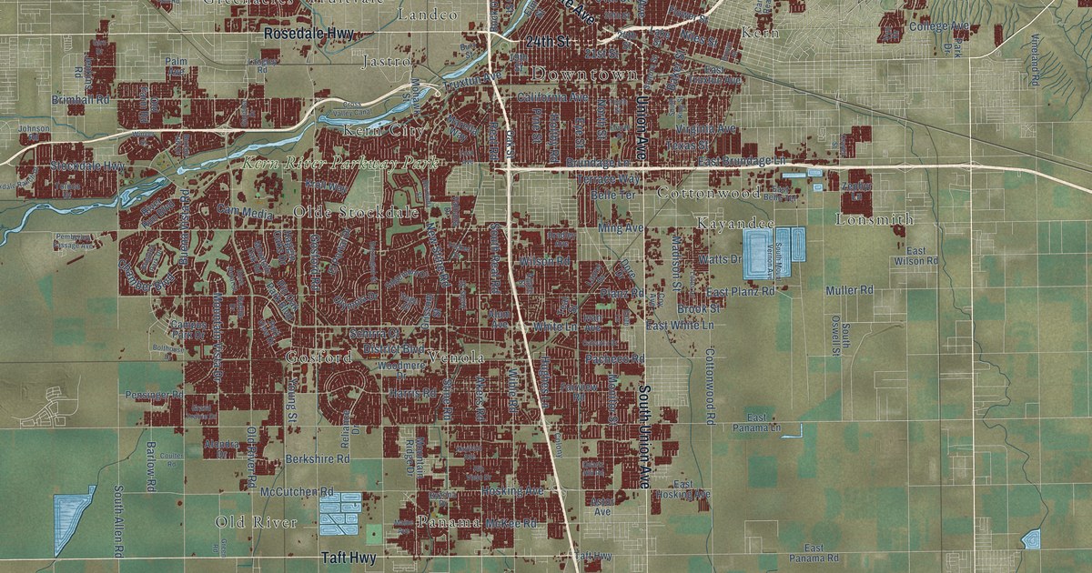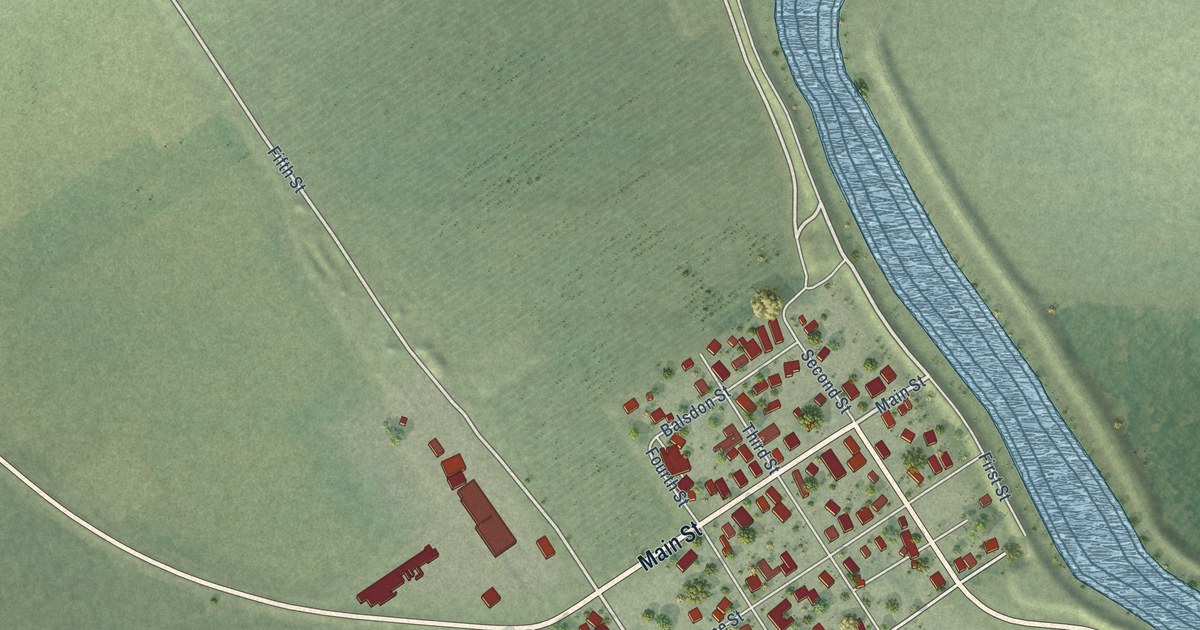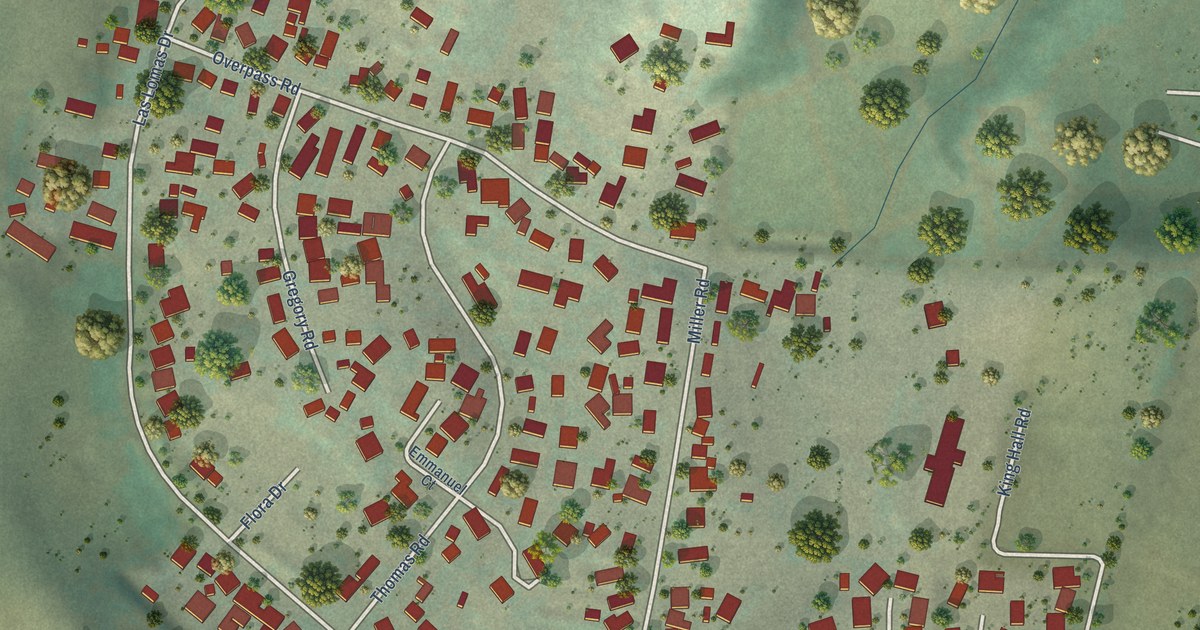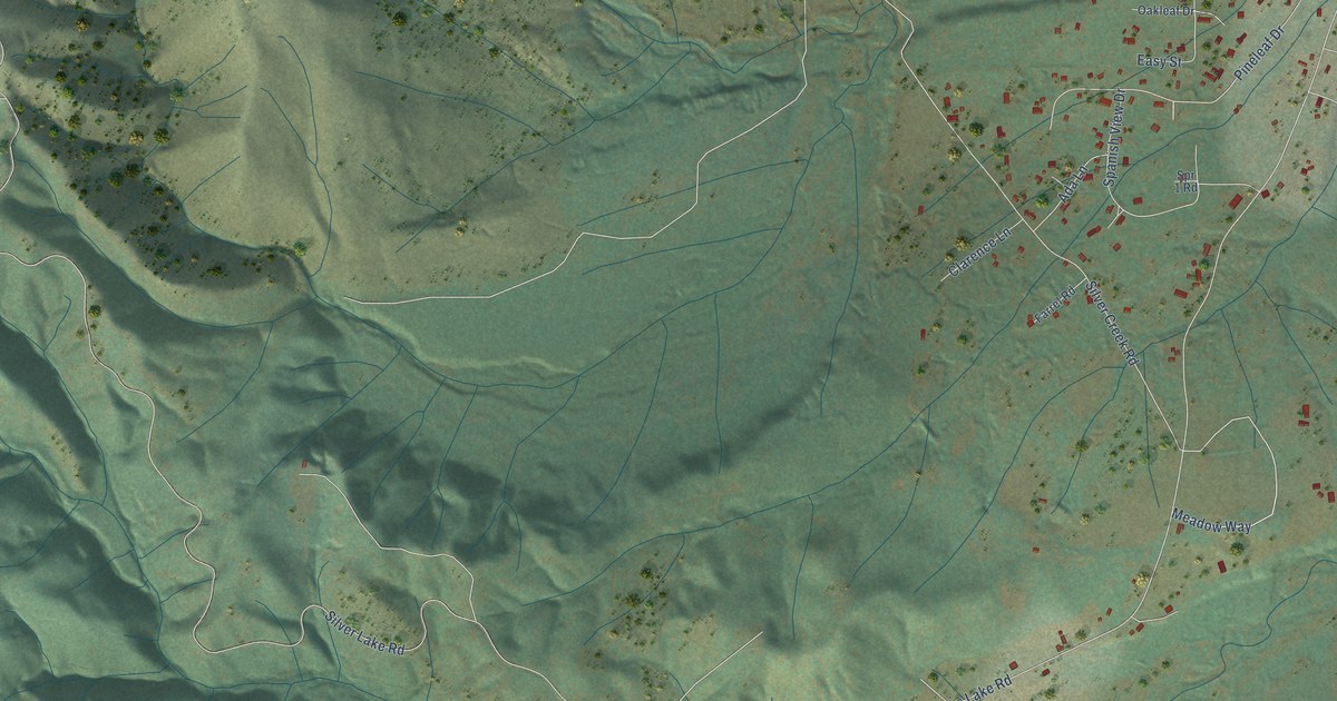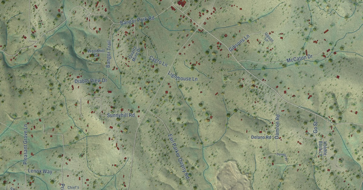
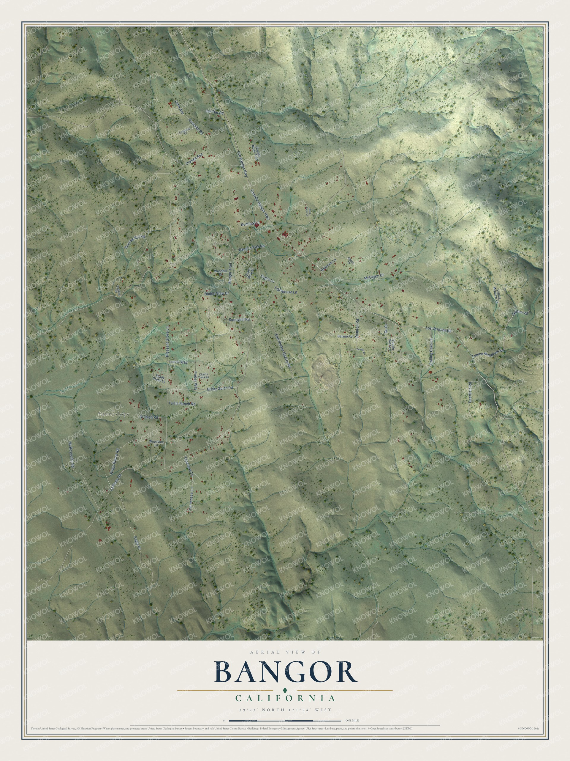
This beautifully detailed map of Bangor, California was created in 2026 using aerial imagery combined with modern topographical, census, street and landmark data. It's a modern aerial view of Bangor in Butte County, California, that combines modern data with a vintage aesthetic. The roads feature printed names, and if you look closely you can find your exact house accurately shown in its correct location.
Explore an aerial view of Bangor, California
On this map you'll find Sunnyslope, Los Verjeles Road, Kings Ranch Road, Gipson Road, La Porte Road, Oro Bangor Highway, Oroville Bangor Highway, Bangor Park Road, Sunrise Hill Road, Pleasant Grove Lane, Rolling Oaks Lane, Eagle Drive, and more. Each red shape is a building, so zoom in on the preview and look for yours.
Bangor has a story worth telling. Bangor was first settled in 1855, when L. C. Hyland and the Lumbert brothers opened two stores about a mile apart. Hyland laid out a paper town of two hundred blocks and meant to call it Hyland, but he was the only one who ever built there. The Lumbert brothers came from Bangor, Maine, and gave the settlement the name of their city. Finding the Blue Lead made Bangor a mining center, and later fruit growing and stock raising kept the community going. That's from the Butte County historian Charles H. Deuel.
Bangor is a community in Butte County. The Census Bureau counted 695 people here in 2020.
Take a closer look at the Bangor map
Names on this map
These names are printed on this map.
Places: Sunnyslope.
Streets and roads: Los Verjeles Road, Kings Ranch Road, Gipson Road, La Porte Road, Oro Bangor Highway, Oroville Bangor Highway, Bangor Park Road, Sunrise Hill Road, Pleasant Grove Lane, Rolling Oaks Lane, Eagle Drive, Avacado Road.
More street names, A to Z
Bangor Trail, Chief's Track Lane, Coyote Moon Trail, Cygro Lane, Damron Road, Deerfield Road, Delano Road, Demetri Place, Diablo View Drive, Drobish Road, Earl Parker Quarry Road, Gibsons Lane, Gipson Lane, Go Street, Grimy Gulch Road, Hobble Bush Lane, Jan Dar Road, Kumbak Lane, Lenox Way, Lighthouse Lane, Lime Avenue, Longview Court, Lupine Meadow Road, Lupine Meadows Road, McCaton Drive, McReynolds Road, Orange Avenue, Prides Way, Quartz Mine Drive, Redding Road, Shady Green Lane, Sunnyhill Road, Tennessee Lane, Tennesse Lane, Turtle Ranch Road, Webb Creek Circle, Woodhill Drive, Woodvine Lane.
See it on a wall
The Bangor map as a framed print. Swipe for more.


Created by KNOWOL in 2026. The buildings are small red shapes, the roads carry their printed names, and shaded relief shows the shape of the land. The title panel reads "AERIAL VIEW OF BANGOR, CALIFORNIA" with 39°23' NORTH 121°24' WEST.
It looks right in a kitchen, an office or a den, and it's a gift for anyone who grew up in Bangor or moved away. Open the preview and find your street. See sizes and frames for the Bangor map.