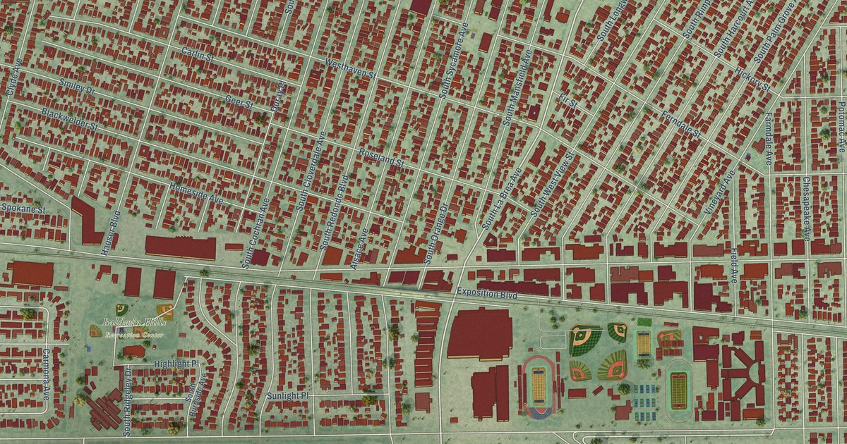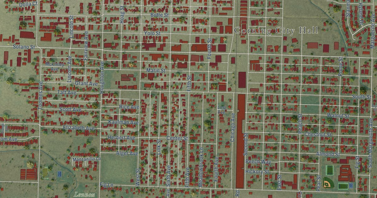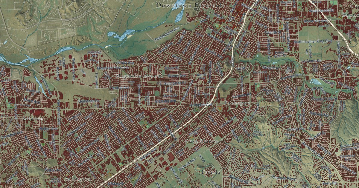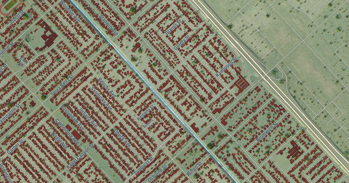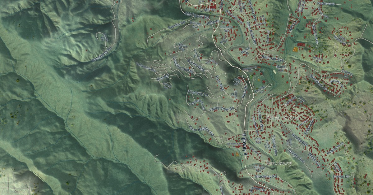
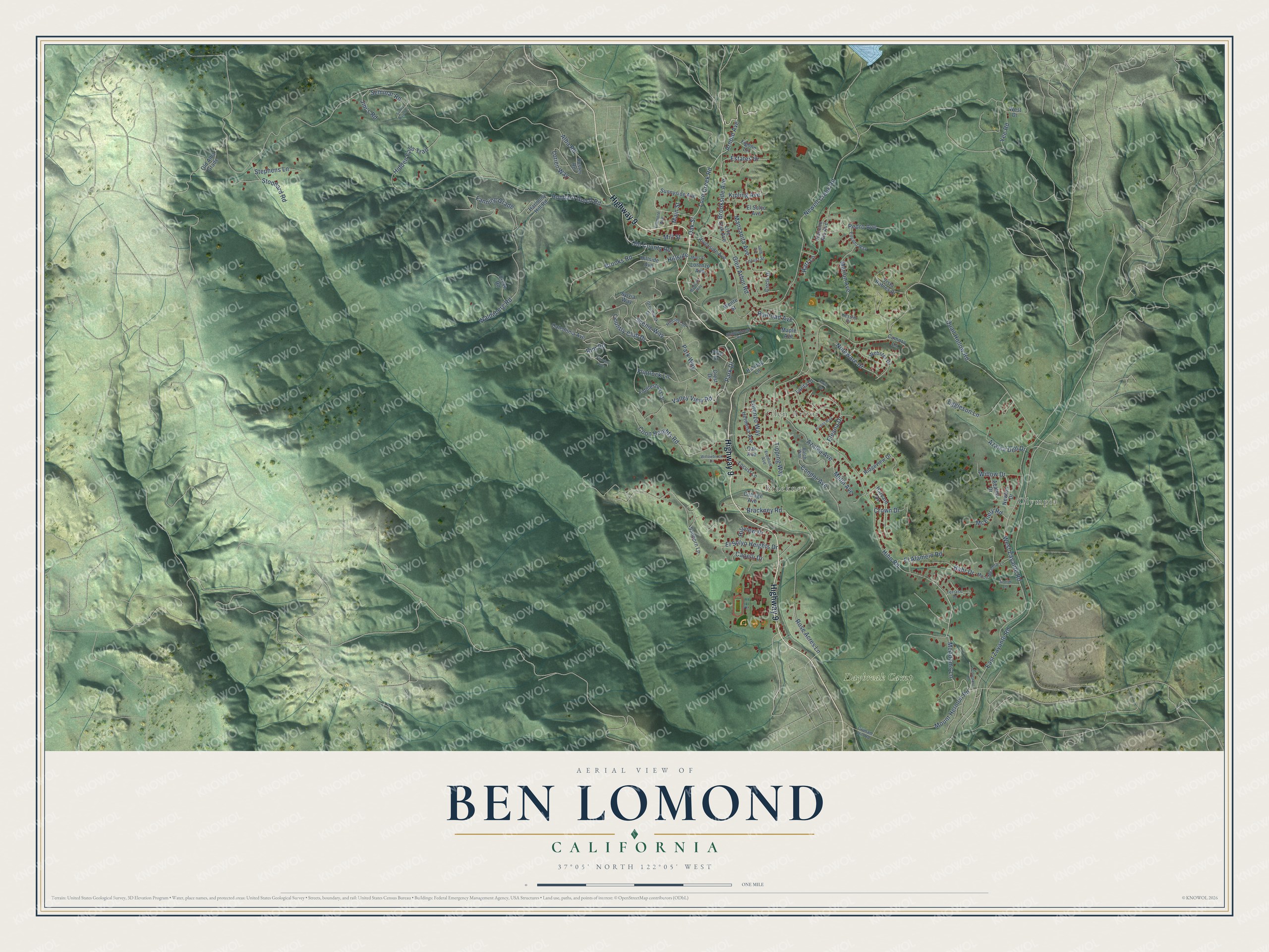
This beautifully detailed map of Ben Lomond, California was created in 2026 using aerial imagery combined with modern topographical, census, street and landmark data. It's a modern aerial view of Ben Lomond in Santa Cruz County, California, that combines modern data with a vintage aesthetic. The roads feature printed names, and if you look closely you can find your exact house accurately shown in its correct location.
Explore an aerial view of Ben Lomond, California
On this map you'll find Olympia, Brackney, Glen Arbor, Daybreak Camp, Highway 9, Love Creek Road, Arnold Avenue, Oak Street, McAdams Lane, Brookside Avenue, Park Drive, Alba Road, and more. Each red shape is a building, so zoom in on the preview and look for yours.
Every town has a first chapter, and Ben Lomond is no exception. The National Register of Historic Places puts it this way: "13
In 1881, James Pierce acquired the land on which Wee Kirk was built from Jacob Steen."
Ben Lomond is a community in Santa Cruz County. The Census Bureau counted 6,337 people here in 2020.
Take a closer look at the Ben Lomond map
Names on this map
These names are printed on this map.
Places: Olympia, Brackney, Glen Arbor and Daybreak Camp.
Streets and roads: Highway 9, Love Creek Road, Arnold Avenue, Oak Street, McAdams Lane, Brookside Avenue, Park Drive, Alba Road, Quail Hollow Road, Hihn Road, Glen Arbor Road, East Zayante Road.
More street names, A to Z
Archer Way, Azalea Avenue, Azalea Dell Drive, Azalea Drive, Bahr Drive, Balch Way, Brackney Road, Brooks Road, Buster Road, Caledonia Avenue, Capelli Drive, Circle Drive, Condor Avenue, Coon Heights Road, Cottage Avenue, Country Club Drive, Covenant Lane, Crest Drive, Croce Road, Crown Drive, Cumora Lane, Eduado Way, Eggleson Lane, El Alamein Road, Eleana Drive, El Solyo Avenue, El Solyo Heights Drive, Estates Drive, Fairview Avenue, Fanning Grade, Fiddlesticks Drive, Figone Lane, Fillmore Avenue, Flintlock Lane, Fremont Avenue, Graham Hill Road, Greenbank Drive, Harmony Hill Road, Hart Lane, Harvard Drive, Hermosa Avenue, Hidden Falls Trail, Hillcrest Drive, Hillside, Hillside Avenue, Hillview Drive, Holiday Lane, Hubbard Gulch Road, Jim's Road, Kessler Drive, Kipling Avenue, Larita Avenue, Larita Drive, Live Oak Avenue, Locust Lane, Locust Street, Lorenzo Avenue, Lorenzo Way, Lorien Way, Madrona Way, Main Street, Manzanita Avenue, Maple Avenue, Marion Avenue, McEnery Road, Melin Avenue, Miles Street, Mill Street, Moon Meadow Lane, Mount Hermon Road, Newell Creek Road, Newton Drive, Noteware Drive, Oak Avenue, Old Alba Grade, Old County Road, Park Way, Pedro Avenue, Pike Drive, Railroad Avenue, Rancho Rio Avenue, Ridgeview Drive, Rim Road, Riverside Avenue, Rose Acres Lane, Sanborn Lane, Scenic Way, Seminar Road, Shadowbrook Road, Stephens Lane, Stoddard Road, Storm Lane, Sund Avenue, Sunny Patch Lane, Sunnyside Avenue, Sylvia Way, Terrace Drive, Tipping Way, Valley View Road, Vista Robles Drive, Waldeberg Road, Webster Drive, Wente Street, West Drive, West Zayante Road, Willowbrook Drive, Willow Drive, Yee Road.
Created by KNOWOL in 2026. The buildings are small red shapes, the roads carry their printed names, and shaded relief shows the shape of the land. The title panel reads "AERIAL VIEW OF BEN LOMOND CALIFORNIA" with 37°05' NORTH 122°05' WEST.
Hang it in the hallway, the office or the cabin, or give it to someone who left Ben Lomond and still calls it home. Open the preview and look for a street you know. See sizes and frames for the Ben Lomond map.