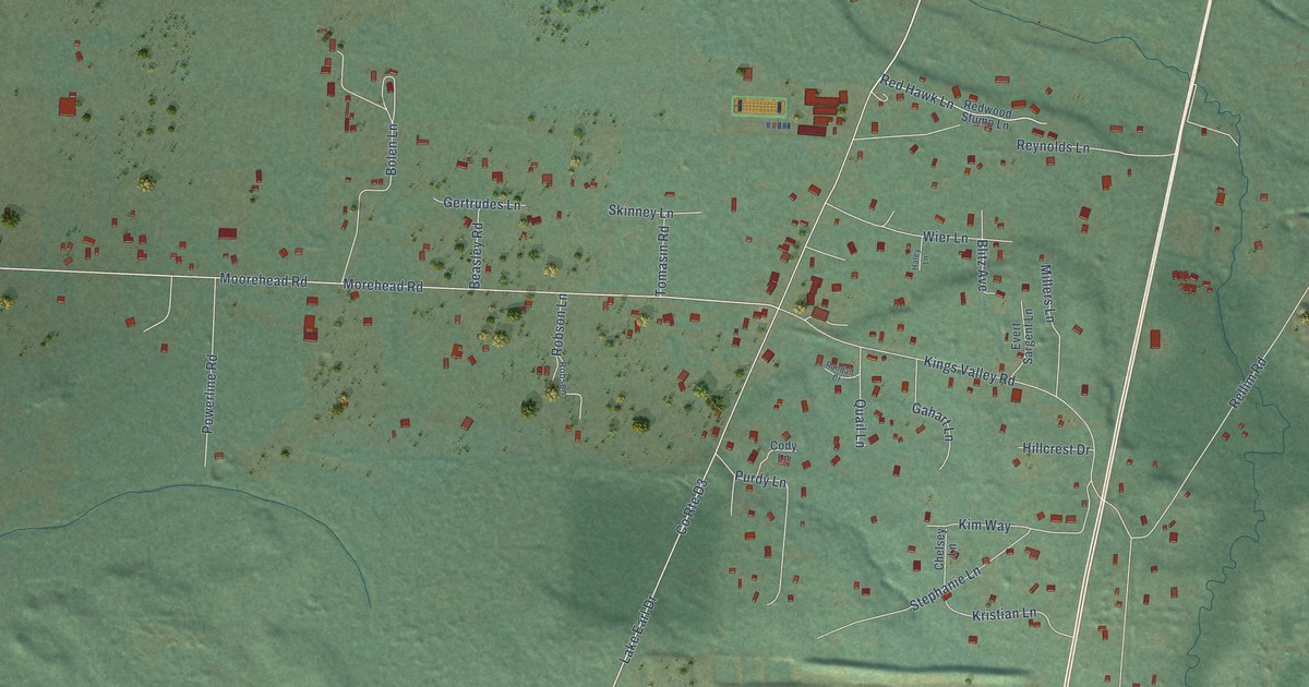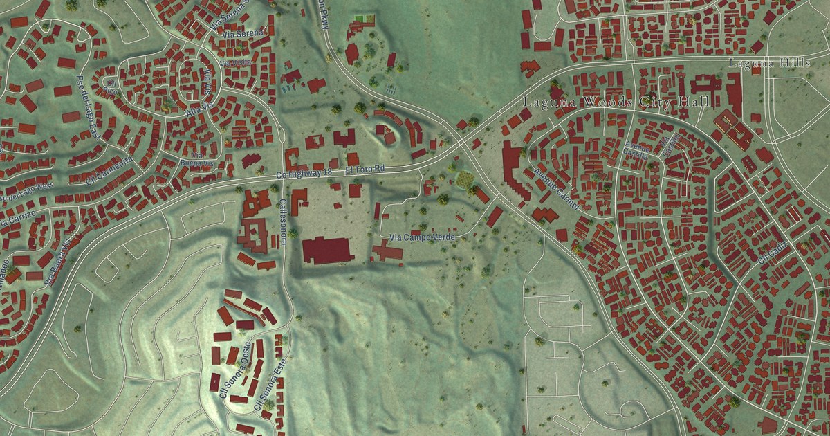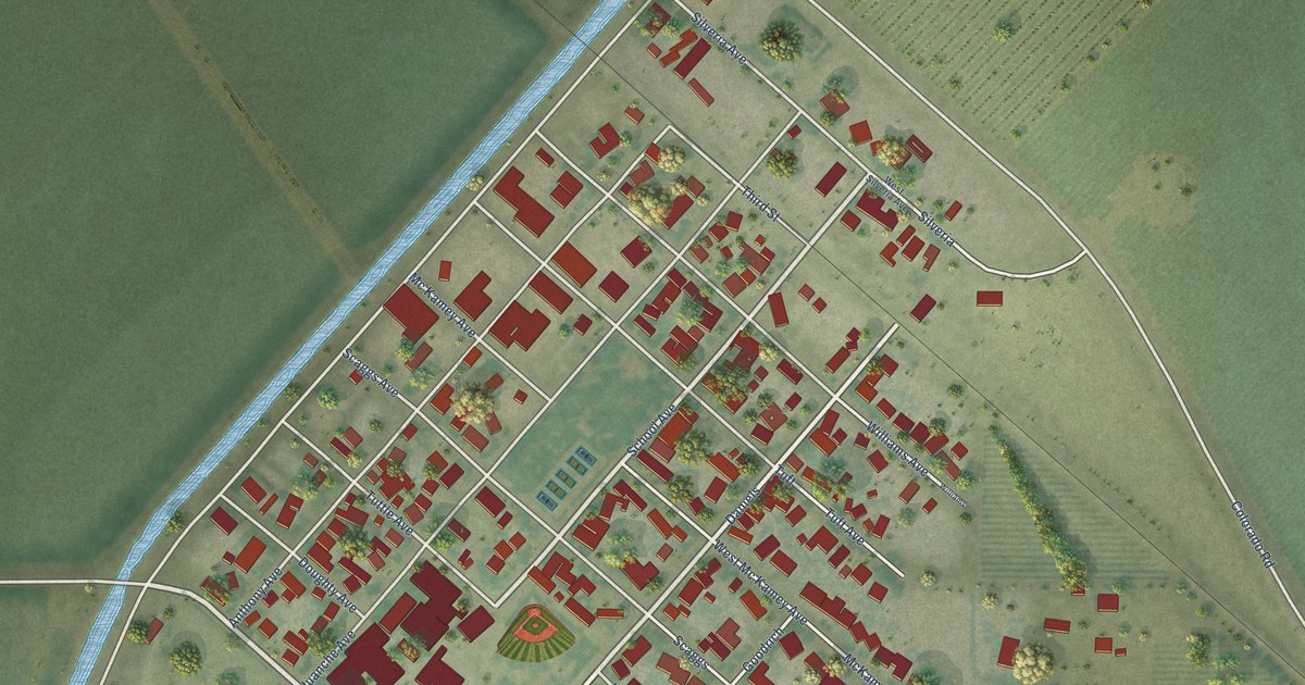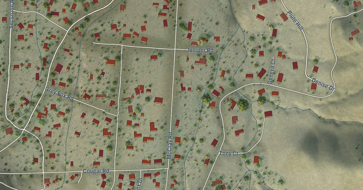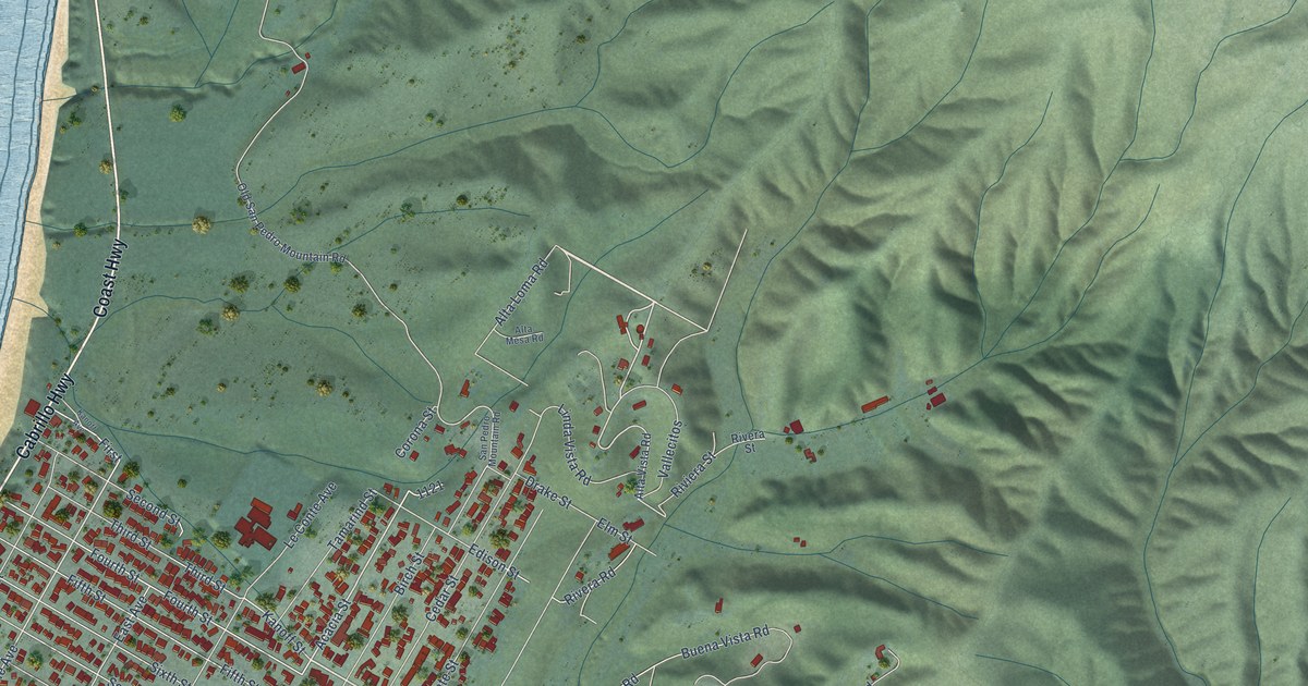
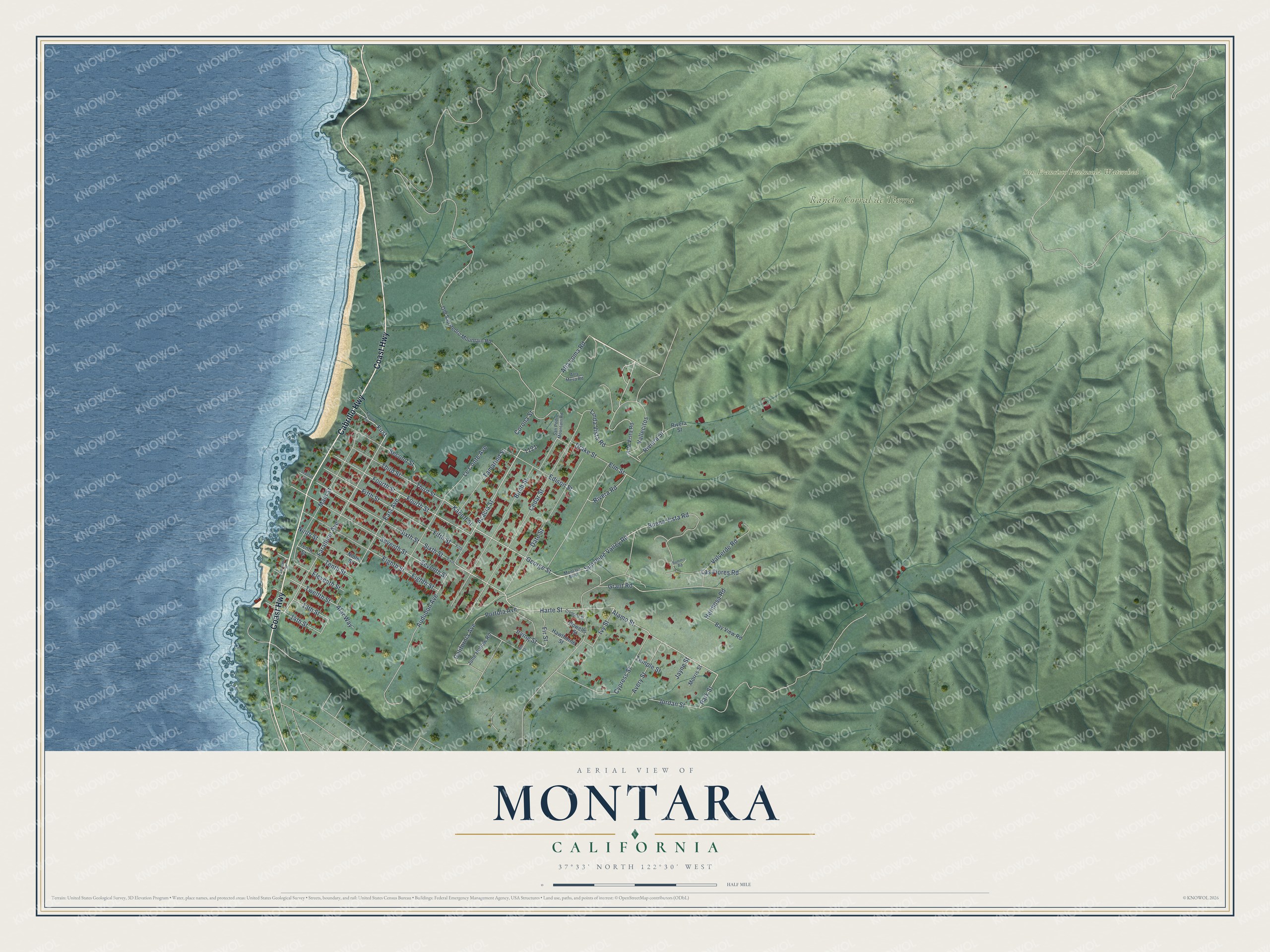
This beautifully detailed map of Montara, California was created in 2026 using aerial imagery combined with modern topographical, census, street and landmark data. It's a modern aerial view of Montara in San Mateo County, California, that combines modern data with a vintage aesthetic. The roads feature printed names, and if you look closely you can find your exact house accurately shown in its correct location.
Explore an aerial view of Montara, California
On this map you'll find Rancho Corral de Tierra, San Francisco Peninsula Watershed, Cabrillo Highway, Coast Highway, Harte Street, George Street, Alamo Street, Park Street, Acacia Street, Farallone Avenue, Audubon Avenue, Fourth Street, and more. Each red shape is a building, so zoom in on the preview and look for yours.
Montara has a story worth telling. Montara's artists colony at the foot of Montara Mountain was the dream of San Francisco publisher Harr Wagner and his wife, the poet Madge Morris. Cottages went up, artists moved in, and the nearby streets were named for the authors Bret Harte, Elbert Hubbard and Rudyard Kipling. When the Ocean Shore Railroad went bankrupt and a fire took the resort hotel he had helped build, Wagner shrugged and called himself a successful failure. His daughter Morris became the Montara postmistress. That's from the Half Moon Bay Memories history site.
Montara is a community in San Mateo County. The Census Bureau counted 2,833 people here in 2020. Montara sits about 2 miles north of Moss Beach, 3 miles northwest of El Granada and 4 miles south of Pacifica. The map prints the town name in its title panel, with the coordinates below it.
Take a closer look at the Montara map
Names on this map
These names are printed on this map.
Places: Rancho Corral de Tierra and San Francisco Peninsula Watershed.
Streets and roads: Cabrillo Highway, Coast Highway, Harte Street, George Street, Alamo Street, Park Street, Acacia Street, Farallone Avenue, Audubon Avenue, Fourth Street, Kanoff Street, 14th Street.
More street names, A to Z
13th Street, Afar Way, Alta Loma Road, Alta Mesa Road, Alta Vista Road, Avery Street, Bay View Road, Birch Street, Buena Vista Road, California Avenue, Cedar Street, Corona Street, Crescent Street, Cypress Street, Date Street, Drake Street, East Avenue, Edison Street, Eighth Street, Eleventh Street, Elm Street, Fifth, Fifth Street, First, Fir Street, Grant Road, Hawthorne Street, Hermosa Road, Hill Street, Howells Street, Irving Street, Ivy Street, Jayne Street, Jordan Street, June Hollow Road, Kanoff Avenue, Las Flores Road, Le Conte Avenue, Linda Vista Road, Main Street, Montara Boulevard, Morris Street, Ninth Street, Old San Pedro Mountain Road, Portola Avenue, Rivera Road, Rivera Street, Riviera Street, San Pedro Mountain Road, Seacliff Court, Second Street, Seventh Street, Sixth, Sixth Street, Summit Road, Sunshine Valley Road, Tamarind Street, Temple Street, Tenth Street, Third Street, Twelfth Street, Vallecitos, Valverde Road.
See it on a wall
The Montara map as a framed print. Swipe for more.


Created by KNOWOL in 2026. The buildings are small red shapes, the roads carry their printed names, and shaded relief shows the shape of the land. The title panel reads "AERIAL VIEW OF MONTARA, CALIFORNIA" with 37°33' NORTH 122°30' WEST.
It looks right in a kitchen, an office or a den, and it's a gift for anyone who grew up in Montara or moved away. Open the preview and find your street. See sizes and frames for the Montara map.