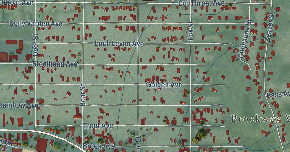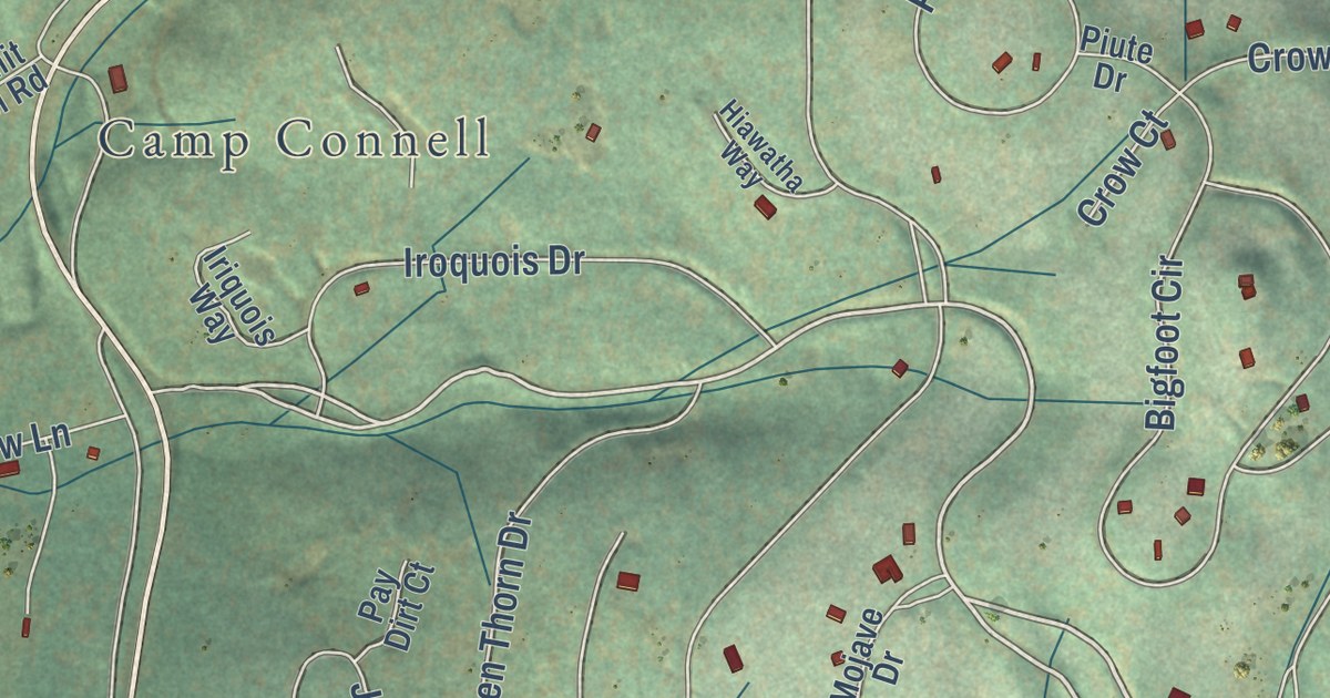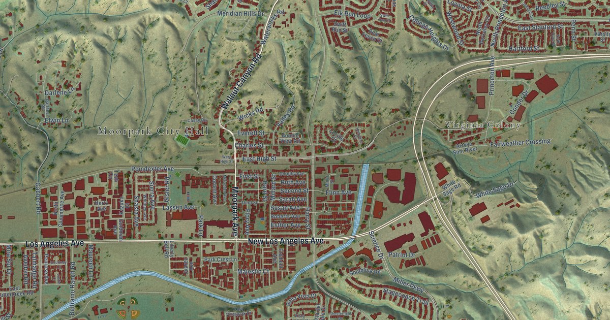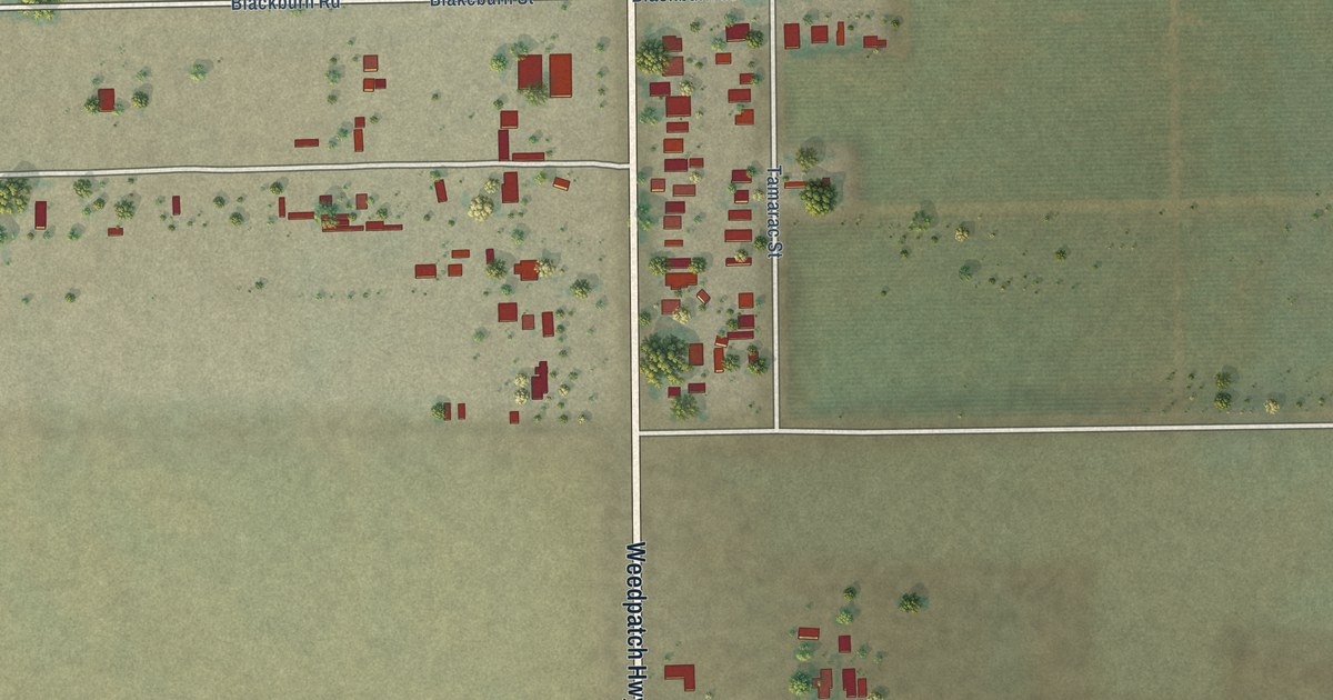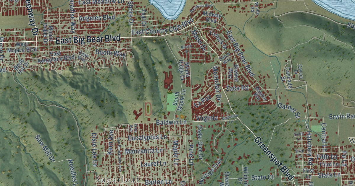
This beautifully detailed map of Big Bear City, California was created in 2026 using aerial imagery combined with modern topographical, census, street and landmark data. It’s a one-of-a-kind view of Big Bear City that combines accurate data with a vintage aesthetic. The map shows every building in its true location, many of the roads carry their names, and the shaded topographic relief shows the shape of the land.
Explore an aerial view of Big Bear City, California
On the map you’ll find Sugarloaf, Baldwin Lake, Woodlands, and San Bernardino National Forest, along with West Big Bear Boulevard, North Shore Drive, East North Shore Drive, East Big Bear Boulevard, Greenway Drive, West North Shore Drive, Greenspot Boulevard, Erwin Ranch Road, and more. If you look closely you can even find your house accurately drawn in its correct location. Zoom in on the preview to look for yours.
Did you know this piece of Big Bear City, California history?
From the Historical Marker Database: "Builder Guy Maltby was known for his legendary half log homes that developed Big Bear City."
Take a closer look at the Big Bear City map
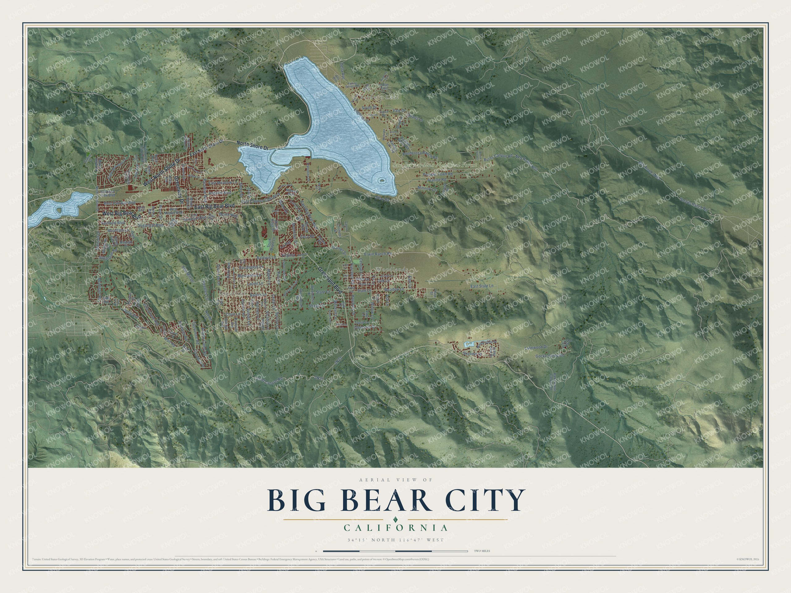
Street and place names on the Big Bear City, California map
These names are printed on the map of Big Bear City, California.
Places: Sugarloaf, Baldwin Lake, Woodlands and San Bernardino National Forest.
Streets and roads: West Big Bear Boulevard, East Big Bear Boulevard, Greenway Drive, West North Shore Drive, North Shore Drive, Greenspot Boulevard, Erwin Ranch Road, Lakewood Drive, Sand Canyon Road, Needles Lane, Meadow Lane, Hatchery Drive.
More street names, A to Z
Alameda Road, Alpine Way, Alta Way, Angeles Boulevard, Angels Camp Road, Anita Avenue, Arastre Road, Arbor Lane, Ash Lane, Baldwine Lane, Baldwin Lake Road, Baldwin Lane, Baldwin Ranch Road, Balky Horse Canyon Road, Barranca Boulevard, Barton Lane, Big Tree Drive, Bonita Vista Court, Booth Way, Brewer Way, Burns Canyon Road, Butte Avenue, Cascade Street, Cavern Drive, Cedar Glen Drive, Cedar Lane, Central Lane, Clark Lane, Columbine Drive, Crater Court, Delta Avenue, Division Drive, Dixie Lee Lane, Dutch Way, Eagle Mountain Drive, East Aeroplane Boulevard, East Country Club Boulevard, East Lane, East Meadow Lane, East North Shore Drive, East State Lane, Edgerton Drive, Estacia Road, Eucalyptus Lane, Falling Springs Road, Fifth Lane, Fir Lane, First Lane, Flintridge Avenue, Garnet Street, Glencove Drive, Gocke Valley Road, Graphite Lane, Hatchery Road, Heritage Trail, Highland Avenue, Hill Avenue, Hillen Dale Drive, Holden Avenue, Holmes Lane, Hugo Lane, Imperial Avenue, Indian Trail, Inyo Avenue, Juniper Lane, Kayah Drive, Kean Way, Kern Avenue, Klamath Road, La Paz, Laurel Lane, Madrona Lane, Malabar Way, Mann Drive, Manzanita Lane, Maple Lane, Maple Ridge Drive, McAlister Road, Midway Boulevard, Minnow Lane, Minton Avenue, Mitchell Lane, Montclair Drive, Monte Vista Drive, Moreno Avenue, Mound Street, Mountain Lane, Mountain View Boulevard, Mount Doble Drive, Mount Verdi Road, Nana Avenue, Needle Lane, North Division Drive, Oak Drive, Oakes Camp Road, Oak Lane, Orange Avenue, Palomino Drive, Paradise Way, Parkway Drive, Pine Lane, Pinon Avenue, Pinon Drive, Pinon Lane, Pioneer Town Road, Plumas Court, Pond Drive, Ponderosa Ranch Road, Quartz Lane, Rainbow Boulevard, Raleigh Drive, Riverside Avenue, Rose Hill Drive, Salem Drive, San Anselmo Drive, San Bernardino Avenue, Saw Mill Drive, Sequoia Drive, Shady Lane, Shay Road, Sheephorn Road, Shenandoah Way, Shore Drive, Silicon Lane, Sixth Lane, Skyview Drive, Smarts Ranch Road, South Drive, South Maple Lane, Spruce Lane, State Court, State Lane, Sugarloaf Boulevard, Sugarpine Road, Sunset Lane, Teal Drive, Tenth Lane, Terrace Drive, Third Lane, Third Street, Tuolumne Road, Tuplin Lane, Turlock Drive, Vale Drive, Valley Boulevard, Valley View Drive, Van Dusen Canyon Road, Victoria Lane, Villa Grove Avenue, Vine Avenue, Virginia, Vista Avenue, Wabash Avenue, West Fairway Boulevard, West Mojave Boulevard, Whispering Forest Drive, Wiebe Road, Wilderness Drive, Wildhorse Lane, Wildwood Trail, Willow Lane, Wolf Drive, Wolf Road, Woodside Drive, Yucca Drive, Zaca Road.
See the Big Bear City, California map on a wall
The Big Bear City map as an 18 x 24 inch print in a black frame.

This beautifully detailed map of Big Bear City makes an attractive addition to your office, library, or den, and it can even be used to teach children the geography and history of the area. It also makes a great gift for someone who left Big Bear City and still calls it home. When you’re done exploring, click here to get your copy of the Big Bear City map.