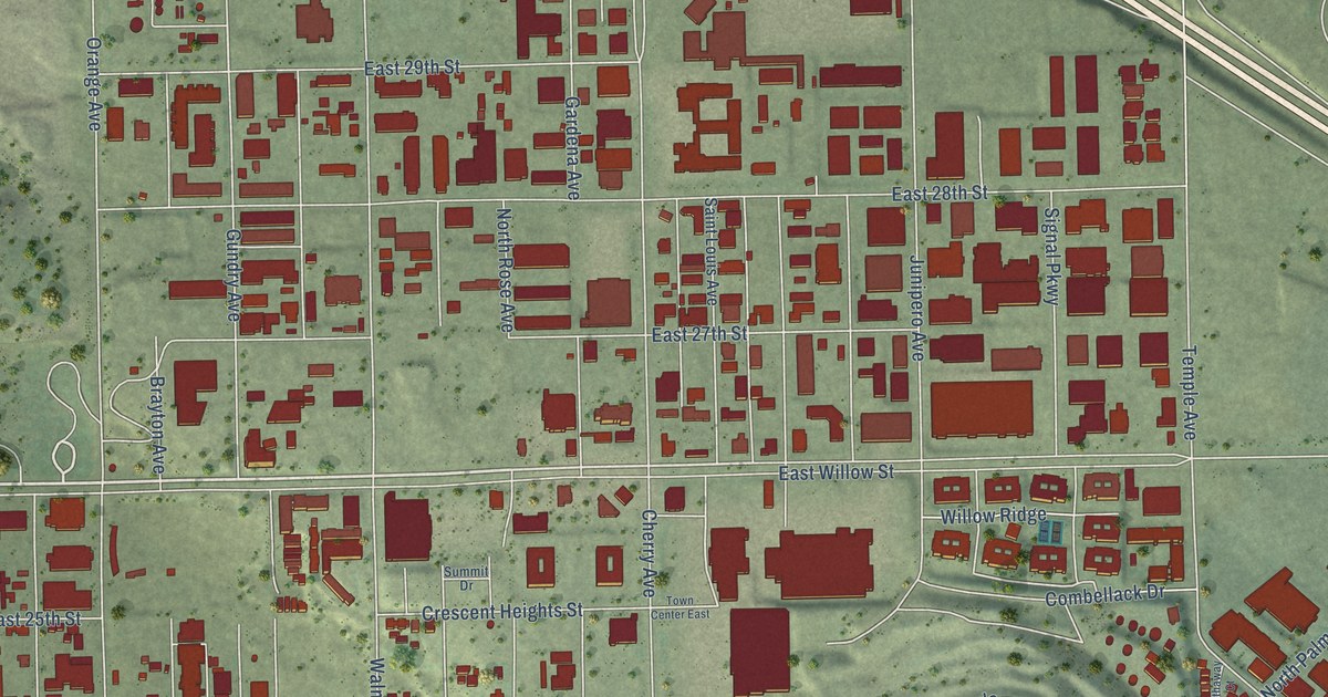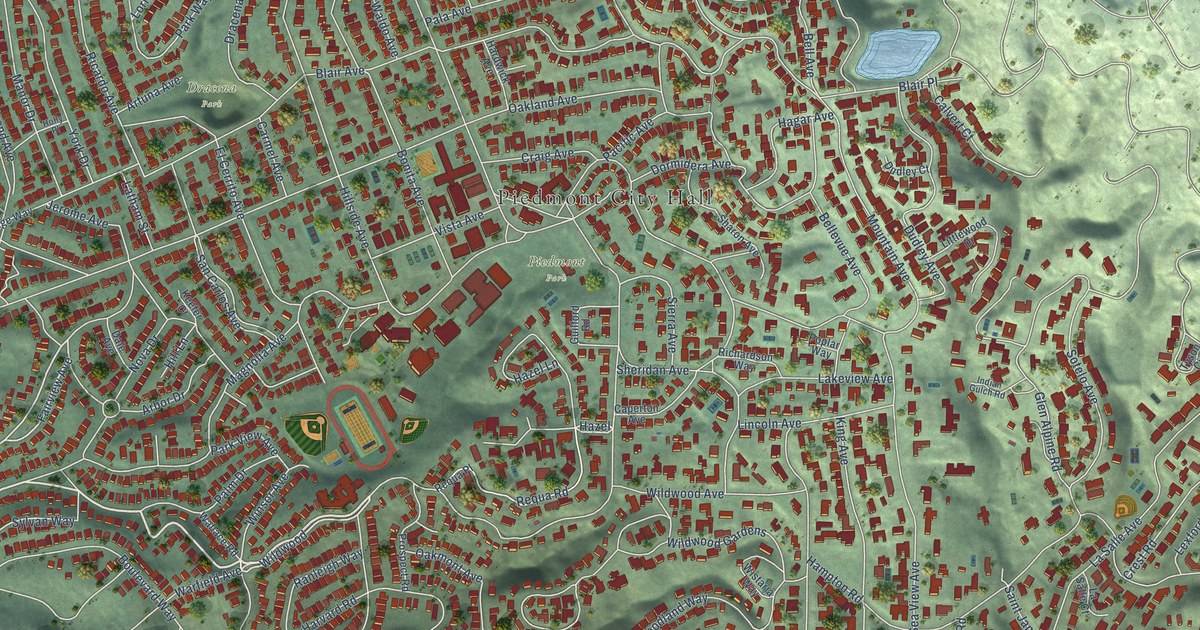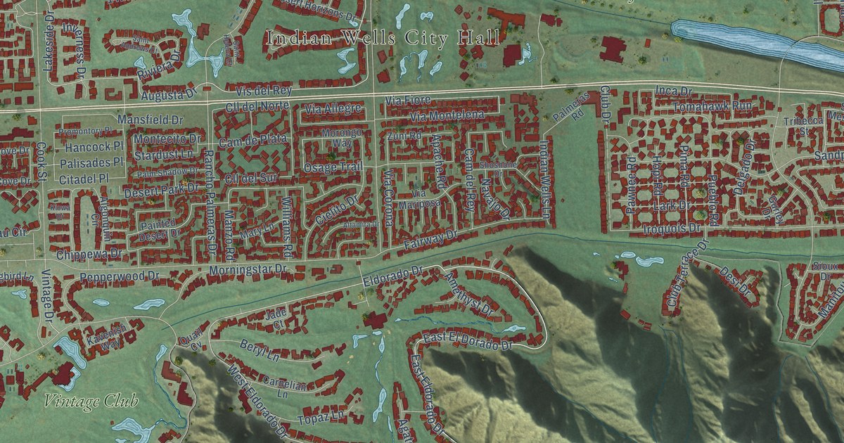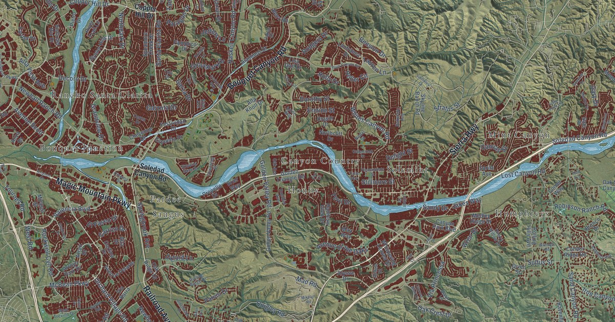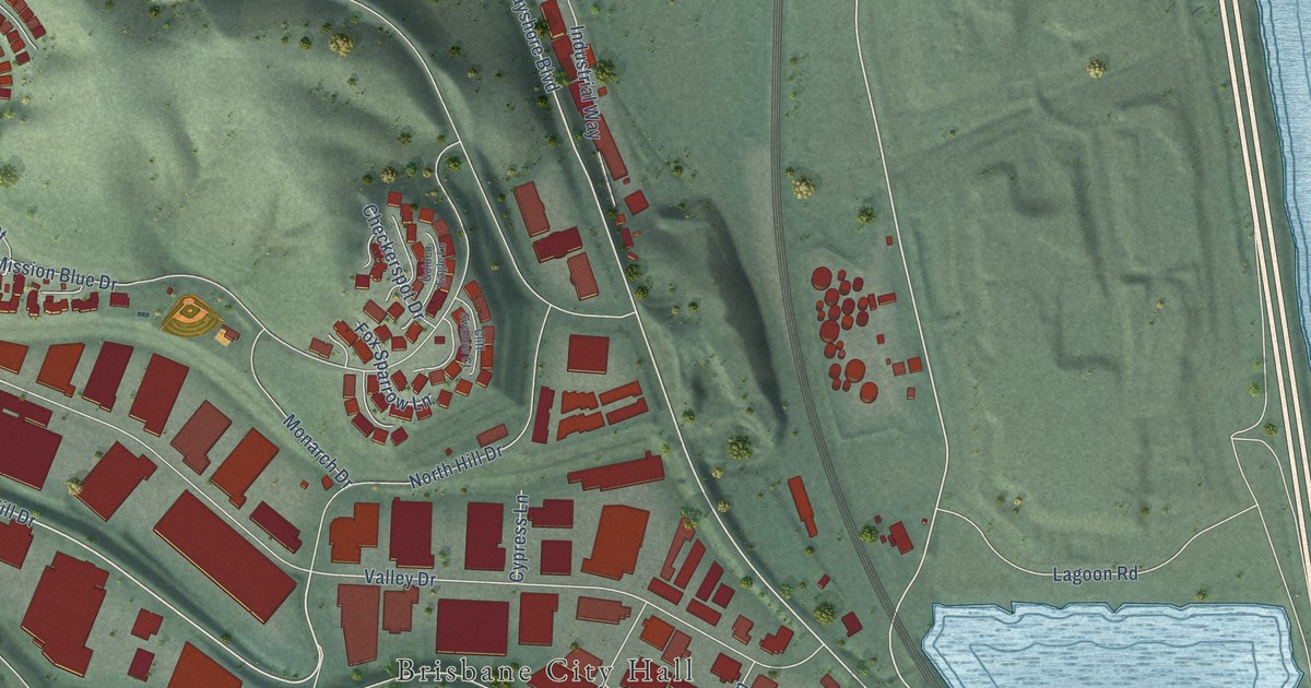
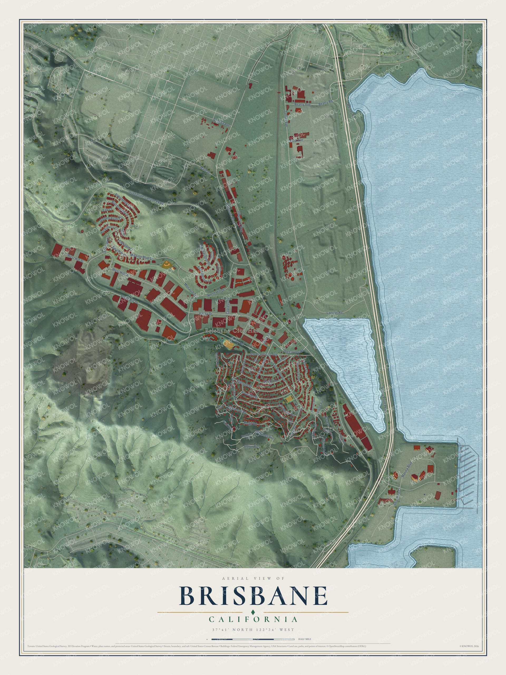
This beautifully detailed map of Brisbane, California was created in 2026 using aerial imagery combined with modern topographical, census, street and landmark data. It's a modern aerial view of Brisbane in San Mateo County, California, that combines modern data with a vintage aesthetic. The roads feature printed names, and if you look closely you can find your exact house accurately shown in its correct location.
Explore an aerial view of Brisbane, California
On this map you'll find Brisbane City Hall, Margaret Avenue, South Hill Drive, Old County Road, Annis Road, Tunnel Avenue, Bayshore Boulevard, West Hill Drive, Sierra Point Parkway, Guadalupe Canyon Parkway, Humboldt Road, Valley Drive, and more. Each red shape is a building, so zoom in on the preview and look for yours.
Brisbane has a story worth telling. The National Park Service puts it this way: "Most of the Bayshore yard including the roundhouse lies in the City of Brisbane, immediately south of San Francisco."
Brisbane is a city in San Mateo County. The Census Bureau counted 4,851 people here in 2020.
Take a closer look at the Brisbane map
Names on this map
These names are printed on this map.
Places: Brisbane City Hall.
Streets and roads: Margaret Avenue, South Hill Drive, Old County Road, Annis Road, Tunnel Avenue, Bayshore Boulevard, West Hill Drive, Sierra Point Parkway, Guadalupe Canyon Parkway, Humboldt Road, Valley Drive, Mission Blue Drive.
More street names, A to Z
Alvarado Street, Arthur Road, Beatrice Road, Beatty Avenue, Beatty Road, Butterweed Lane, Callippe Court, Checkerspot Drive, Cliff Swallow Court, Cypress Lane, Elderberry Lane, Esta Avenue, Fox Sparrow Lane, Geneva Avenue, Gladys Avenue, Glen Park Way, Golden Aster Court, Golden Eagle Lane, Harney Road, Harold Road, Huckleberry Court, Industrial Way, Inyo Street, Joy Avenue, Kings Road, Klamath Street, Lagoon Road, Lake Street, Lily Court, Lupine Valley Court, Main Street, Margaret Road, Marina Boulevard, Mariposa Street, McLain Road, Mendocino Street, Monarch Drive, Monterey Street, North Hill Drive, Park Lane, Paul Avenue, Quarry Road, Ross Way, San Benito Road, San Bruno Avenue, San Francisco Avenue, San Mateo Lane, Santa Clara Street, Shoreline Court, Sierra Point Road, Silverspot Drive, Solano Street, Swallow Court, Thomas Avenue, Trinity Road, Tulare Street, Visitacion Avenue, West Hill Place, William Avenue.
Created by KNOWOL in 2026. The buildings are small red shapes, the roads carry their printed names, and shaded relief shows the shape of the land. The title panel reads "AERIAL VIEW OF BRISBANE CALIFORNIA" with 37°41' NORTH 122°24' WEST.
It looks right in a kitchen, an office or a den, and it's a gift for anyone who grew up in Brisbane or moved away. Open the preview and find your street. See sizes and frames for the Brisbane map.