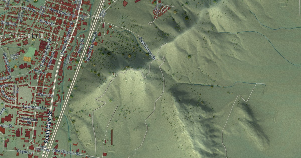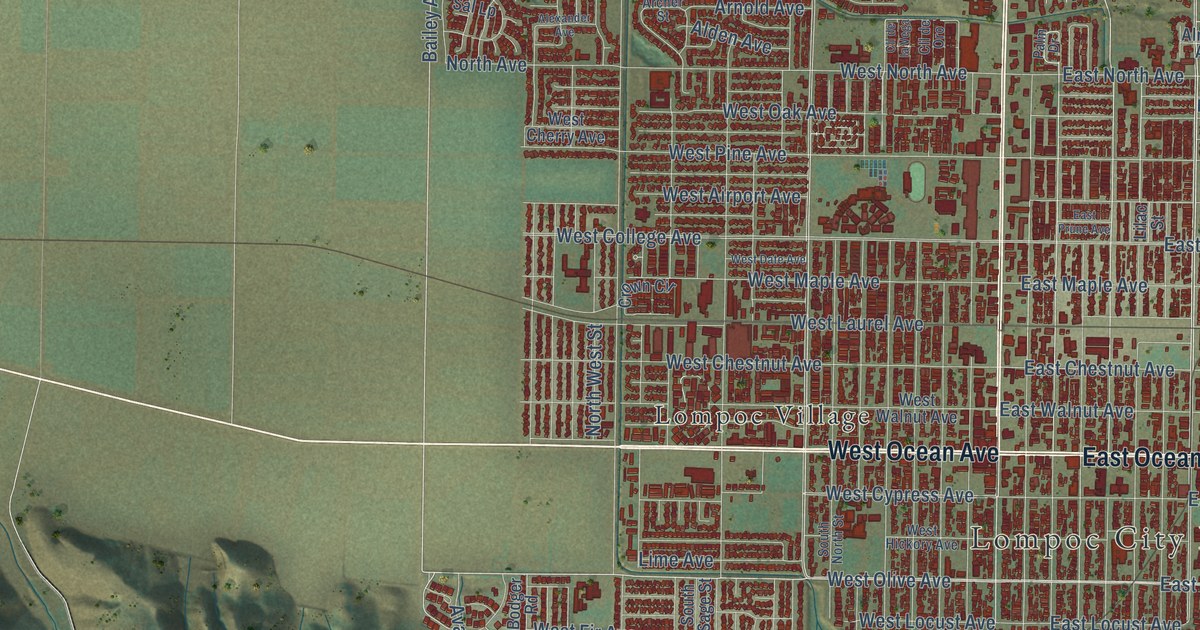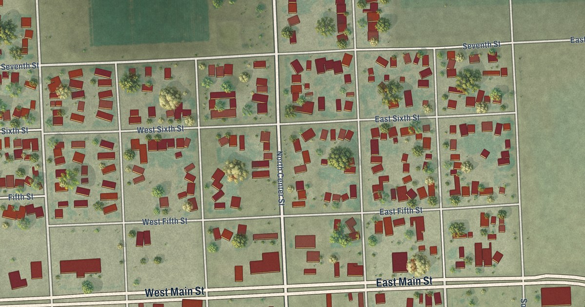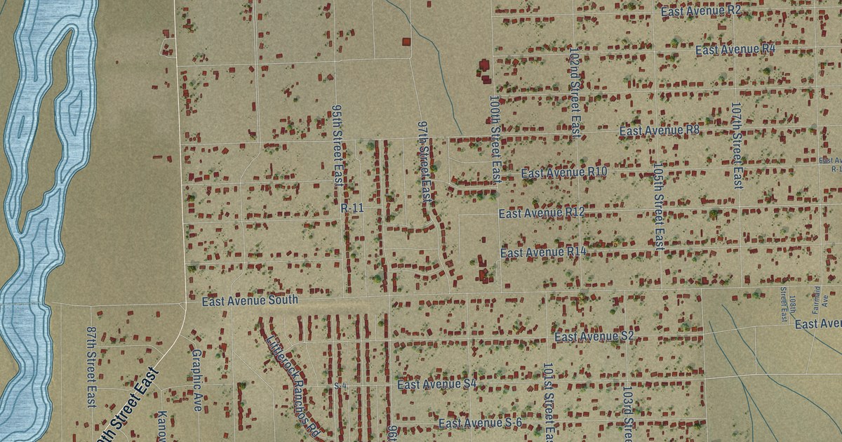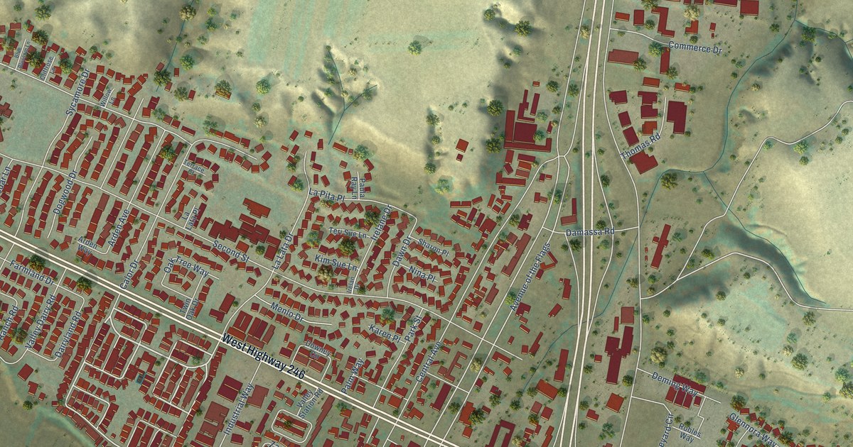
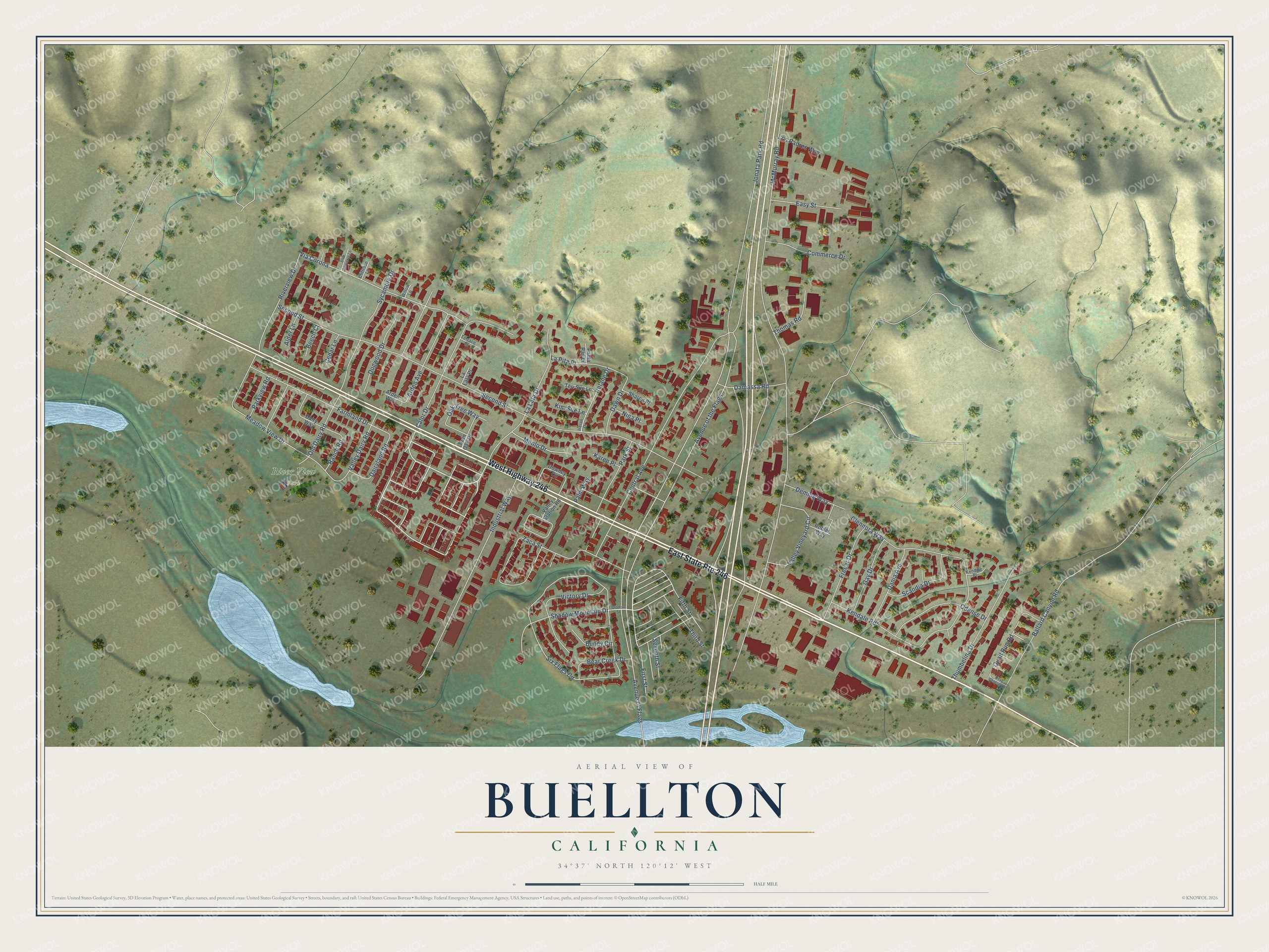
This beautifully detailed map of Buellton, California was created in 2026 using aerial imagery combined with modern topographical, census, street and landmark data. It's a modern aerial view of Buellton in Santa Barbara County, California, that combines modern data with a vintage aesthetic. The roads feature printed names, and if you look closely you can find your exact house accurately shown in its correct location.
Explore an aerial view of Buellton, California
On this map you'll find River View Park, West Highway 246, Avenue of the Flags, Via Corona, Quail Run Road, Avenue of Flags, Meadow View Drive, McMurray Road, Six Flags Circle, Second Street, Central Avenue, Jonata Park Road, and more. Each red shape is a building, so zoom in on the preview and look for yours.
Every town has a first chapter, and Buellton is no exception. The City of Buellton puts it this way: "1920 is the year that the last of the five towns of the Santa Ynez Valley was established, Buellton. However, looking back into the history of the area, the Buell Ranch was a complete town within itself as far back as 1875."
Buellton is a city in Santa Barbara County. The Census Bureau counted 5,161 people here in 2020.
Take a closer look at the Buellton map
Names on this map
These names are printed on this map.
Places: River View Park.
Streets and roads: East State Route 246, West Highway 246, Avenue of the Flags, Via Corona, Quail Run Road, Avenue of Flags, Meadow View Drive, McMurray Road, Six Flags Circle, Second Street, Central Avenue, Jonata Park Road.
More street names, A to Z
Alder Lane, Arden Avenue, Arden Way, Ballard Canyon Road, Bear Creek Drive, Beech Court, Blue Blossom Lane, Bundy Circle, Calor Drive, Cedar Lane, Cliffrose Lane, Commerce Drive, Dairyland Road, Dairy Way, Damassa Road, Dania Avenue, Dawn Drive, Deming Way, Dogwood Drive, Dove Canyon Road, Downey Circle, Easy Street, Farmland Drive, Fifth Street, First Street, Freear Drive, Gay Drive, Glennora Way, Industrial Way, Irelan Drive, Irelane Drive, Karen Place, Kendale Place, Kendale Road, Kim Sue Lane, La Lata Drive, La Lata Place, La Pita Place, Los Padres Way, Menlo Drive, Nina Place, Oak Tree Way, Odense Drive, Old Dairy Road, Palm Way, Park Street, Parkview Road, Paula Ray Lane, Ranch Road, Riverview Drive, Robles Way, Scandia Drive, Seventh Street, Shadow Mountain Drive, Shadow Street, Sharon Place, Sycamore Drive, Teri Sue Lane, Terrace Court, Third Street, Thomas Road, Thumbelina Drive, Twin Oak Drive, Valley Dairy Road, Valley Station Road, Valley Vineyard Circle, Victory Drive, Willow Lane, Zaca Street.
Created by KNOWOL in 2026. The buildings are small red shapes, the roads carry their printed names, and shaded relief shows the shape of the land. The title panel reads "AERIAL VIEW OF BUELLTON CALIFORNIA" with 34°37' NORTH 120°12' WEST.
Hang it in the hallway, the office or the cabin, or give it to someone who left Buellton and still calls it home. Open the preview and look for a street you know. See sizes and frames for the Buellton map.