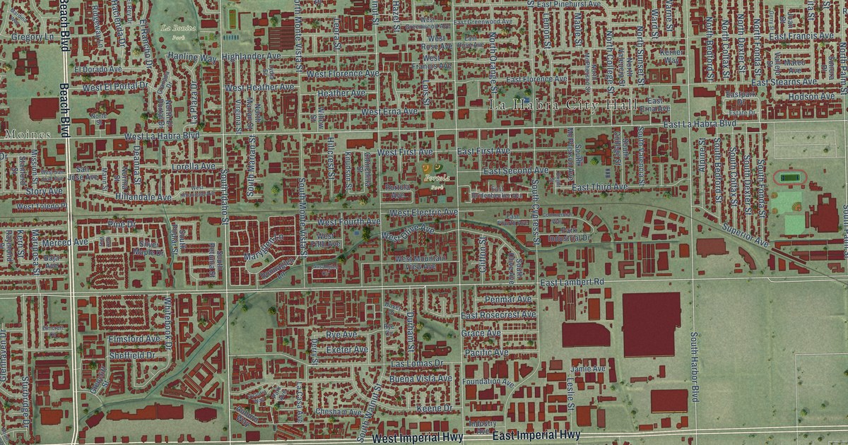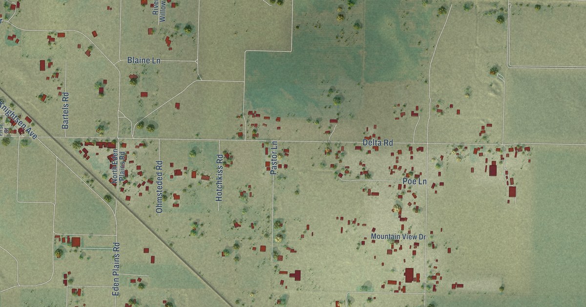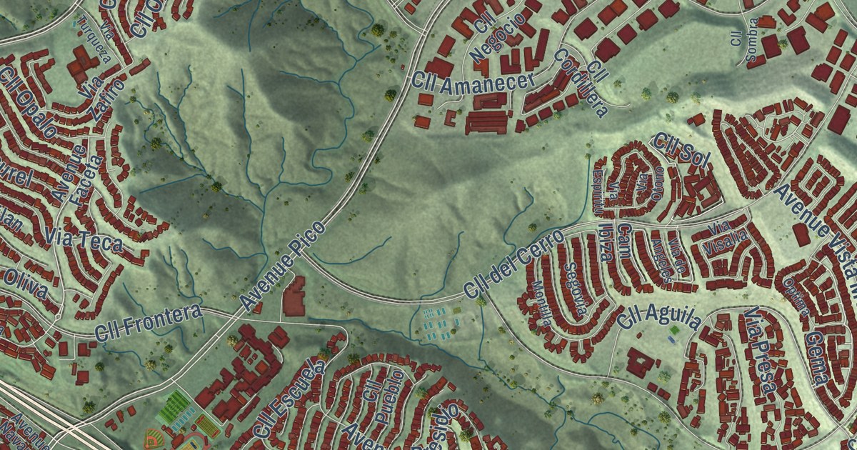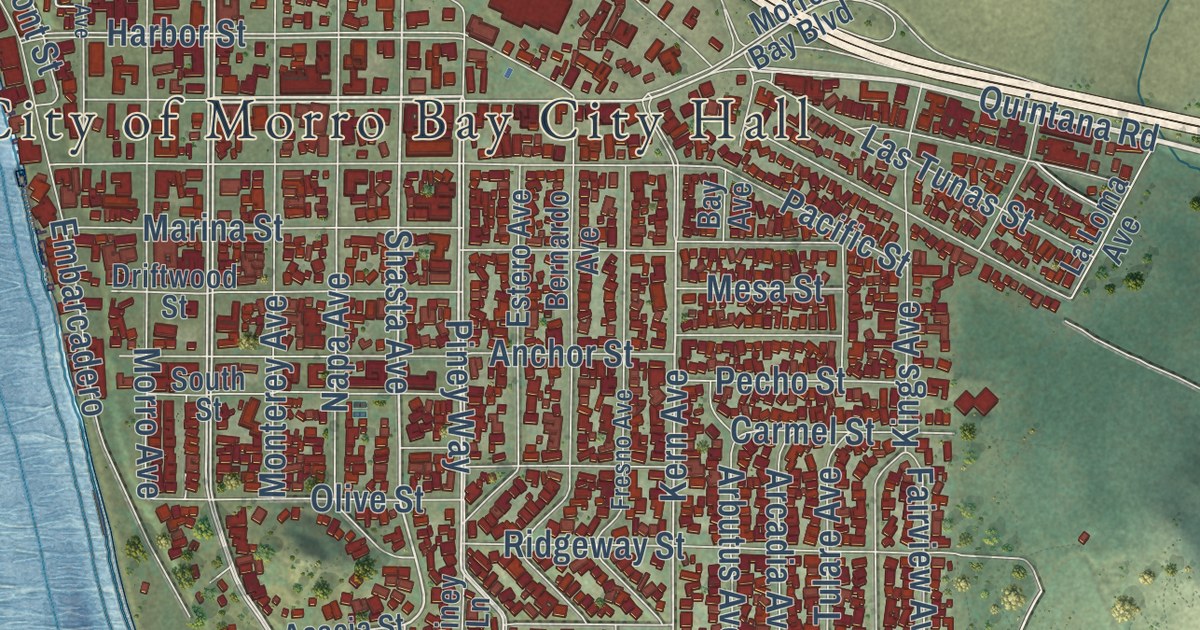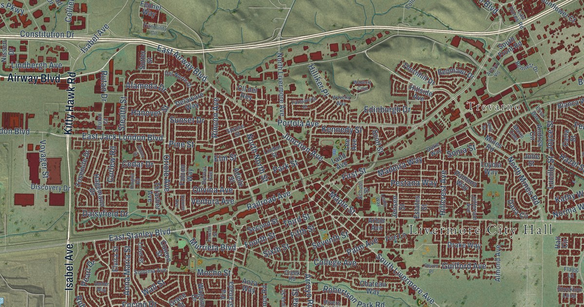
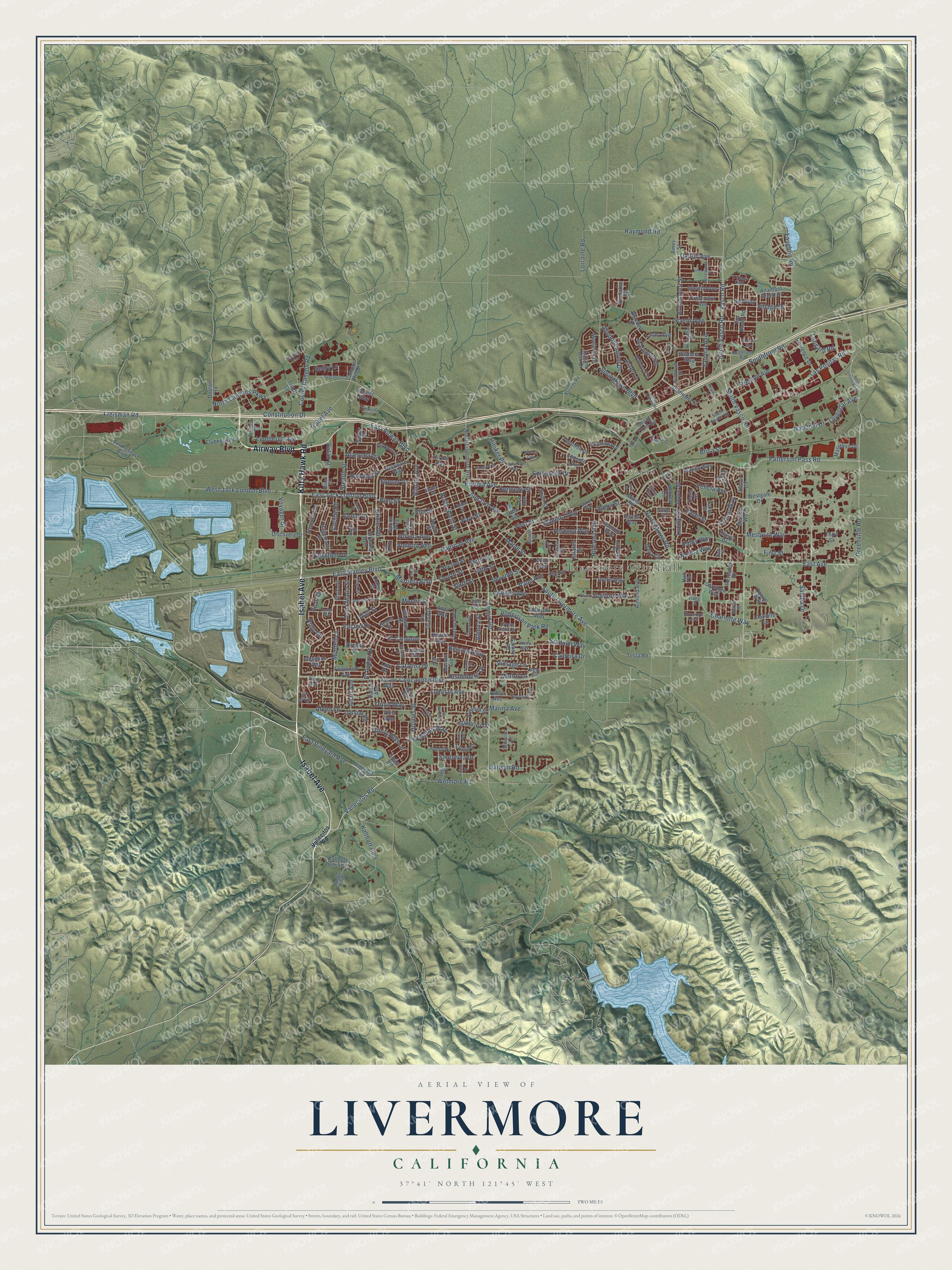
This beautifully detailed map of Livermore, California was created in 2026 using aerial imagery combined with modern topographical, census, street and landmark data. It’s a one-of-a-kind view of Livermore that combines accurate data with a vintage aesthetic. The map shows every building in its true location, many of the roads carry their names, and the shaded topographic relief shows the shape of the land.
Explore an aerial view of Livermore, California
On the map you’ll find Livermore City Hall, Ulmar, and Trevarno, along with Isabel Avenue, Kitty Hawk Road, Airway Boulevard, Concannon Boulevard, Portola Avenue, East Airway Boulevard, East Vineyard Avenue, Vallecitos Road, Arroyo Road, and more. If you look closely you can even find your house accurately drawn in its correct location. Zoom in on the preview to look for yours.
Did you know this piece of Livermore, California history?
From Ohp.parks.ca.gov: "Robert Livermore, first settler of Livermore Valley, was born in England in 1799."
Take a closer look at the Livermore map
Street and place names on the Livermore, California map
These names are printed on the map of Livermore, California.
Places: Livermore City Hall, Ulmar and Trevarno.
Streets and roads: Isabel Avenue, Kitty Hawk Road, Airway Boulevard, Concannon Boulevard, Portola Avenue, East Airway Boulevard, East Vineyard Avenue, Vallecitos Road, Arroyo Road, East Stanley Boulevard, Madeira Way, Fourth Street.
More street names, A to Z
Adelle Street, Alameda Drive, Alden Lane, Alison Circle, Almond Avenue, Altair Avenue, Altamont Creek Drive, Amber Way, Ames Street, Andrea Circle, Anna Maria Street, Anza Way, Arbor Avenue, Arlene Way, Arrowhead Avenue, Arroyo Vis, Aster Lane, Autumn Oak Drive, Bellflower Street, Bellmawr Drive, Bennett Drive, Bernal Avenue, Bess Avenue, Bianca Way, Big Basin Road, Bluebell Drive, Brisa Street, Broadmoor Street, Buckskin Road, Caldeira Drive, Campus Hill Drive, Carla Street, Carnegie Way, Catalina Drive, Cedar Drive, Central Avenue, Charlotte Way, Chateau Way, Cheryl Drive, Cll del Rey, Clubhouse Drive, Coleen Street, College Avenue, Collier Canyon Road, Constitution Drive, Covey Way, Cowan Way, Crater Road, Creek Road, Crestmont Avenue, Curlew Road, Daisyfield Drive, Dalton Avenue, Dana Circle, Darwin Avenue, Dawn Street, Delaware Way, Del Norte Drive, Devon Place, Discovery Drive, Donner Avenue, Doolan Road, Dovecote Lane, Drake Way, Duke Way, East Avenue, East Jack London Boulevard, Edinburgh Drive, El Caminito, Elm Street, El Padro Drive, Elston Street, Elvira Street, Encino Drive, Erica Way, Estates Street, Falcon Way, Farnsworth Drive, Felicia Avenue, Fennel Way, Fenton Street, Fifth Street, Fire Lane, First Street, Flagg Lane, Florence Road, Fontonett Avenue, Franklin Lane, Freisman Road, Gamay Road, Geneva Street, Genoa Street, Grace Street, Greenville Road, Guilford Avenue, Hagemann Drive, Hall Circle, Hampton Road, Hanover Street, Hansen Road, Hazel Street, Heather Lane, Heidelberg Drive, Helsinki Way, Hillcrest Avenue, Hilliker Place, Hillside Avenue, Hollyhock Street, Holmes Street, Hudson Way, Idlewild Avenue, Jami Street, Jefferson Avenue, Jensen Street, Joyce Street, Julie Street, Junction Avenue, Kalthoff Cm 515, Kalthoff Cmn, Kathy Way, Katrina Street, Kennedy Street, Kinglet Road, Ladd Avenue, Lagiss Drive, Las Colinas Road, Las Flores Road, Las Positas Boulevard, Las Positas Road, Latour Avenue, Laughlin Road, Lavendar Avenue, Lawrence Drive, Leahy Way, Lee Avenue, Lexington Way, Lido Drive, Lilac Avenue, Lindbergh Avenue, Linden Street, Lloyd Street, Lomitas Avenue, Longard Road, Lorraine Road, Loyola Way, Lucille Street, Maple Street, Marathon Drive, Marie Cmn, Marigold Road, Marina Avenue, Mars Road, Melanie Way, Meritage Cmn, Merlot Lane, Mesquite Way, Mines Road, Miranda Way, Mission Lane, Mocho Street, Monterey Drive, Murdell Lane, Murrieta Boulevard, National Drive, Nissen Drive, Normandy Circle, Norma Way, North Canyons Parkway, Northfront Road, North Greenville Road, North Livermore Avenue, North Mines Road, North North Street, North Vasco Road, Oakville Lane, Obsidian Way, Old Oak Road, Olivina Avenue, Ontario Drive, Oriole Avenue, Orion Way, Owl Way, Palm Avenue, Paris Way, Park Street, Pasatiempo Street, Patterson Pass Road, Pearl Drive, Pestana Way, Pine Street, Pomona Way, Prato Way, Preston Avenue, Pulsar Avenue, Pyramid Street, Railroad Avenue, Raymond Road, Regent Road, Research Drive, Rhododendron Drive, Rincon Avenue, Rivers Bend Circle, Robertson Park Road, Rocky Ridge, Roma Street, Roselli Drive, Rubicon Way, Ruby Road, Rutan Court, Rutan Drive, Sandia Drive, Santorina Drive, Saturn Way, Scenic Avenue, School Street, Scott Street, Second Street, Selby Lane, Seventh Street, Sheffield Drive, Siena Road, Sixth Street, Sonia Street, Sonoma Avenue, Southfront Road, South Front Road, South Livermore Avenue, South Naylor Road, South Vasco Road, Springtown Boulevard, Spruce Street, Stadium Way, Stealth Street, Stockton Loop, Sunflower Court, Sunset Drive, Superior Drive, Sutter Street, Tahoe Drive, Talinga Drive, Tesla Road, Third Street, Thornhill Drive, Thrasher Avenue, Tiffany Cmn, Tranquility Circle, Triad Drive, Trinity Hills Lane, Vasco Road, Ventura Avenue, Vetta Drive, Via Granada, Vienna Street, Village Drive, Vinci Way, Vineyard Avenue, Vintage Lane, Vivian Drive, Voyager Street, Wagoner Drive, Wall Street, Waverly Cmn, Waverly Way, Westgate Drive, West Jack London Boulevard, Wetmore Road, Wisteria Way, Yosemite Drive.
See the Livermore, California map on a wall
The Livermore map as an 18 x 24 inch print in a black frame.

This beautifully detailed map of Livermore makes an attractive addition to your office, library, or den, and it can even be used to teach children the geography and history of the area. It also makes a great gift for anyone who grew up in Livermore or moved away. When you’re done exploring, click here to get your copy of the Livermore map.