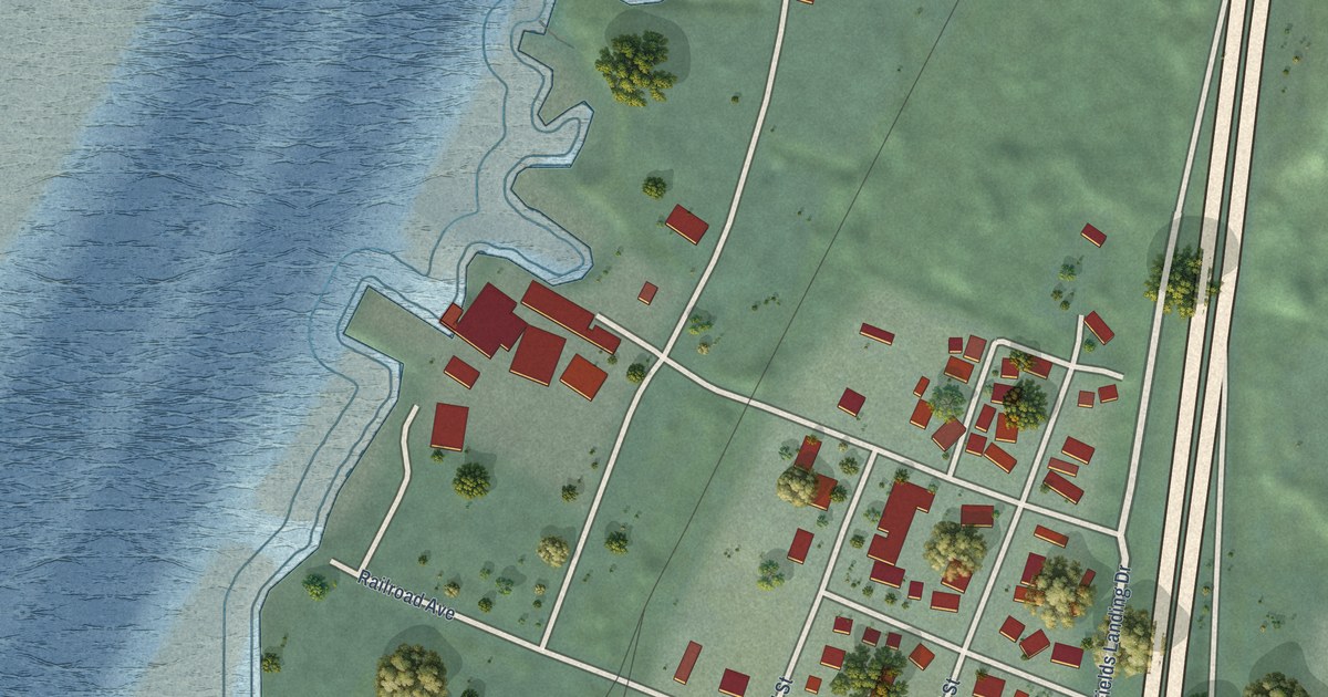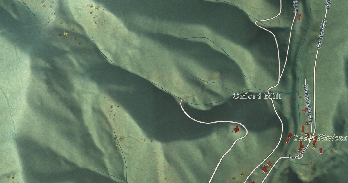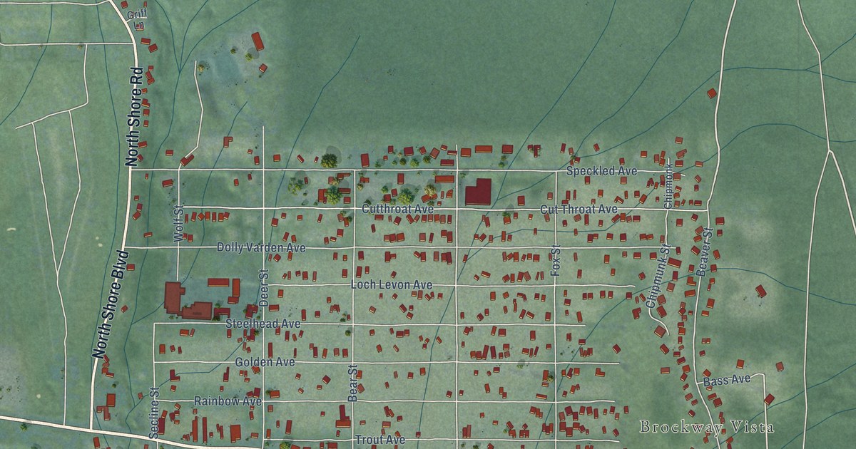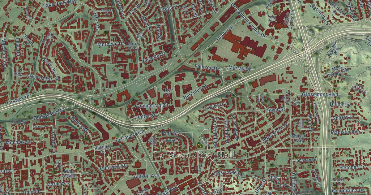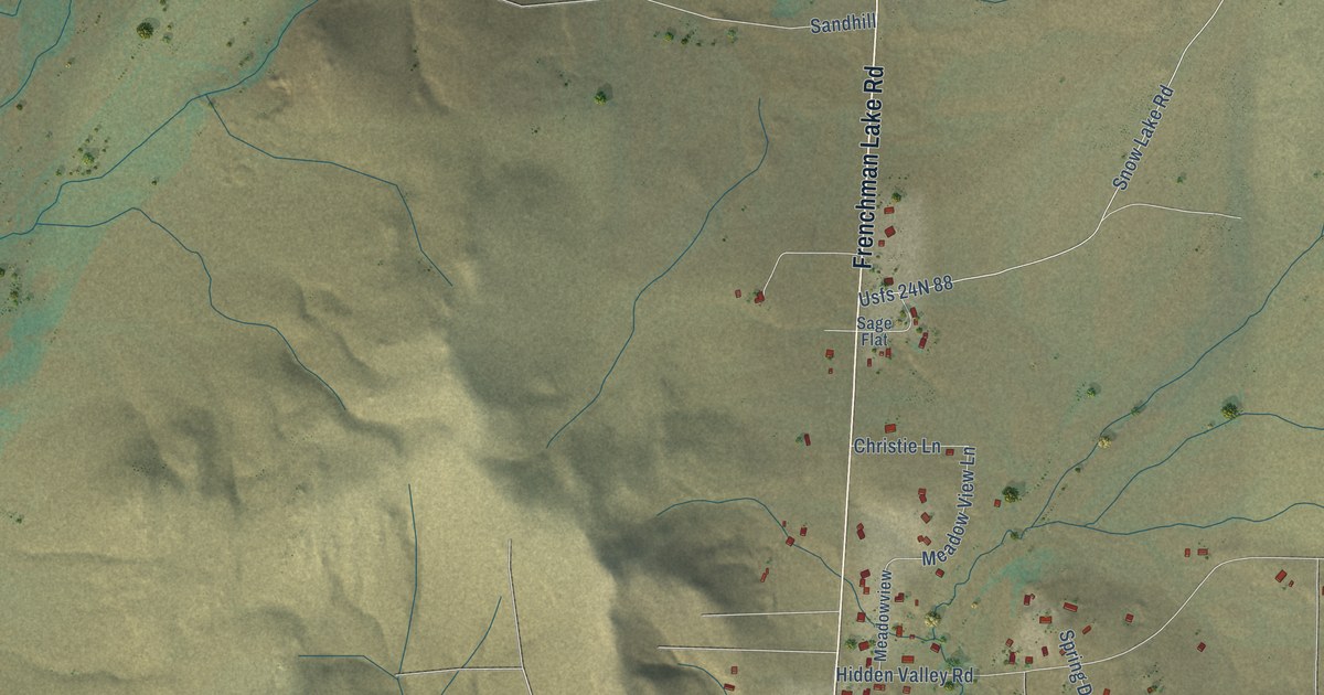
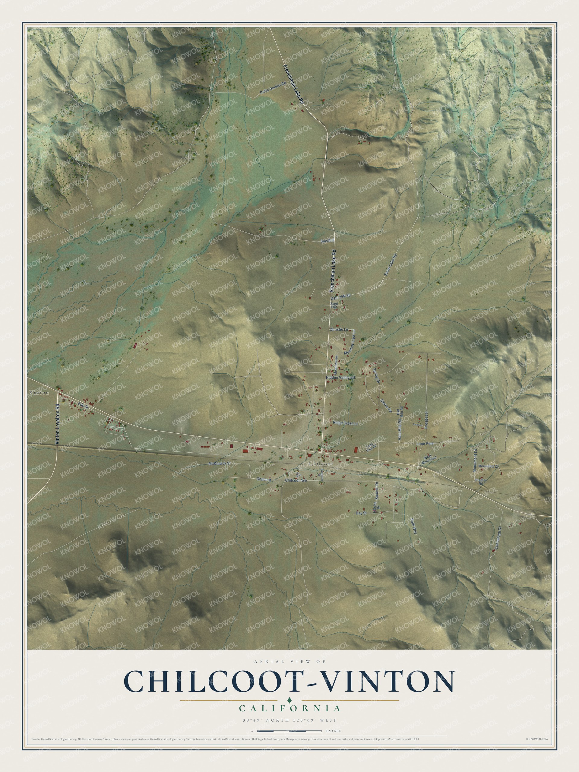
This beautifully detailed map of Chilcoot-Vinton, California was created in 2026 using aerial imagery combined with modern topographical, census, street and landmark data. It's a modern aerial view of Chilcoot-Vinton in Plumas County, California, that combines modern data with a vintage aesthetic. The roads feature printed names, and if you look closely you can find your exact house accurately shown in its correct location.
Explore an aerial view of Chilcoot-Vinton, California
On this map you'll find Vinton, Chilcoot, Frenchman Lake Road, Vinton Loyalton Road, Ede Street, Chilcoot Avenue, Meadow View Lane, Snow Lake Road, Usfs 24N 88, Sandhill, Monumont Lane, McKissick Street, and more. Each red shape is a building, so zoom in on the preview and look for yours.
Chilcoot-Vinton has a story worth telling. Chilcoot was named about 1900 for Chilcoot Pass in Alaska, the gateway to the Klondike, at the time of the gold rush to the Yukon. Vinton's post office, once called Summit, took its present name on February 16, 1897, for Vinton Bowen, daughter of Henry Bowen of the Sierra Valleys Railway. That's from the 1969 book California Place Names.
Chilcoot-Vinton is a community in Plumas County. The Census Bureau counted 446 people here in 2020.
Take a closer look at the Chilcoot-Vinton map
Names on this map
These names are printed on this map.
Places: Vinton and Chilcoot.
Streets and roads: Frenchman Lake Road, Vinton Loyalton Road, Ede Street, Chilcoot Avenue, Meadow View Lane, Snow Lake Road, Sandhill, Monumont Lane, McKissick Street, Hidden Valley Road, Prospecct, Spring Drive.
More street names, A to Z
Christie Lane, Conestoga Drive, Day Street, Dotta Guidici Road, Hale Mile Road, Half Mile Road, Hillside Drive, Lone Pine, Lone Pine Road, Main Street, Meadowview, Monument Court, Patterson Street, Pfeiffer Road, Prospect, Ridge Crest Lane, Ruth Way, Sage Flat, Sierra Vw, Summit Drive, West Monument.
See it on a wall
The Chilcoot-Vinton map as a framed print. Swipe for more.


Created by KNOWOL in 2026. The buildings are small red shapes, the roads carry their printed names, and shaded relief shows the shape of the land. The title panel reads "AERIAL VIEW OF CHILCOOT-VINTON, CALIFORNIA" with 39°49' NORTH 120°09' WEST.
It looks right in a kitchen, an office or a den, and it's a gift for anyone who grew up in Chilcoot-Vinton or moved away. Open the preview and find your street. See sizes and frames for the Chilcoot-Vinton map.