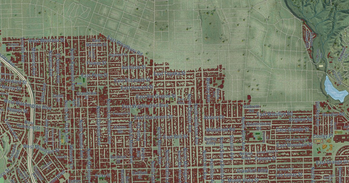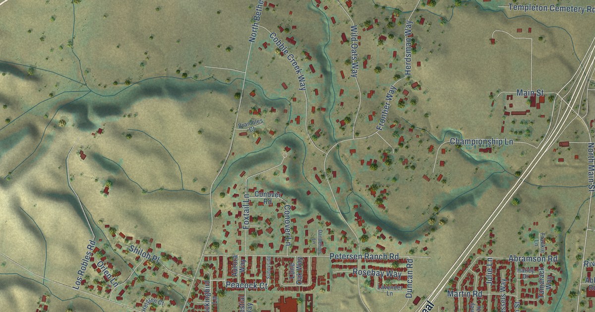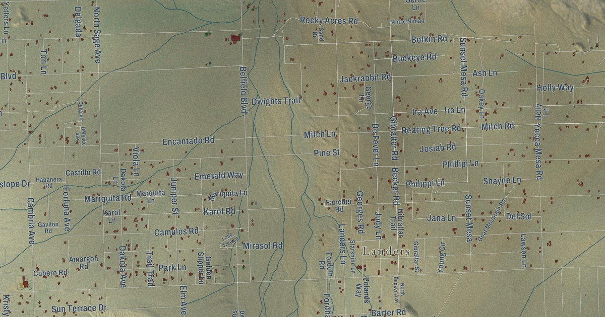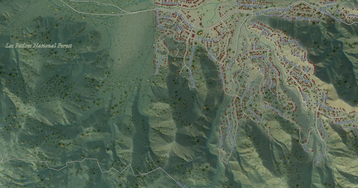
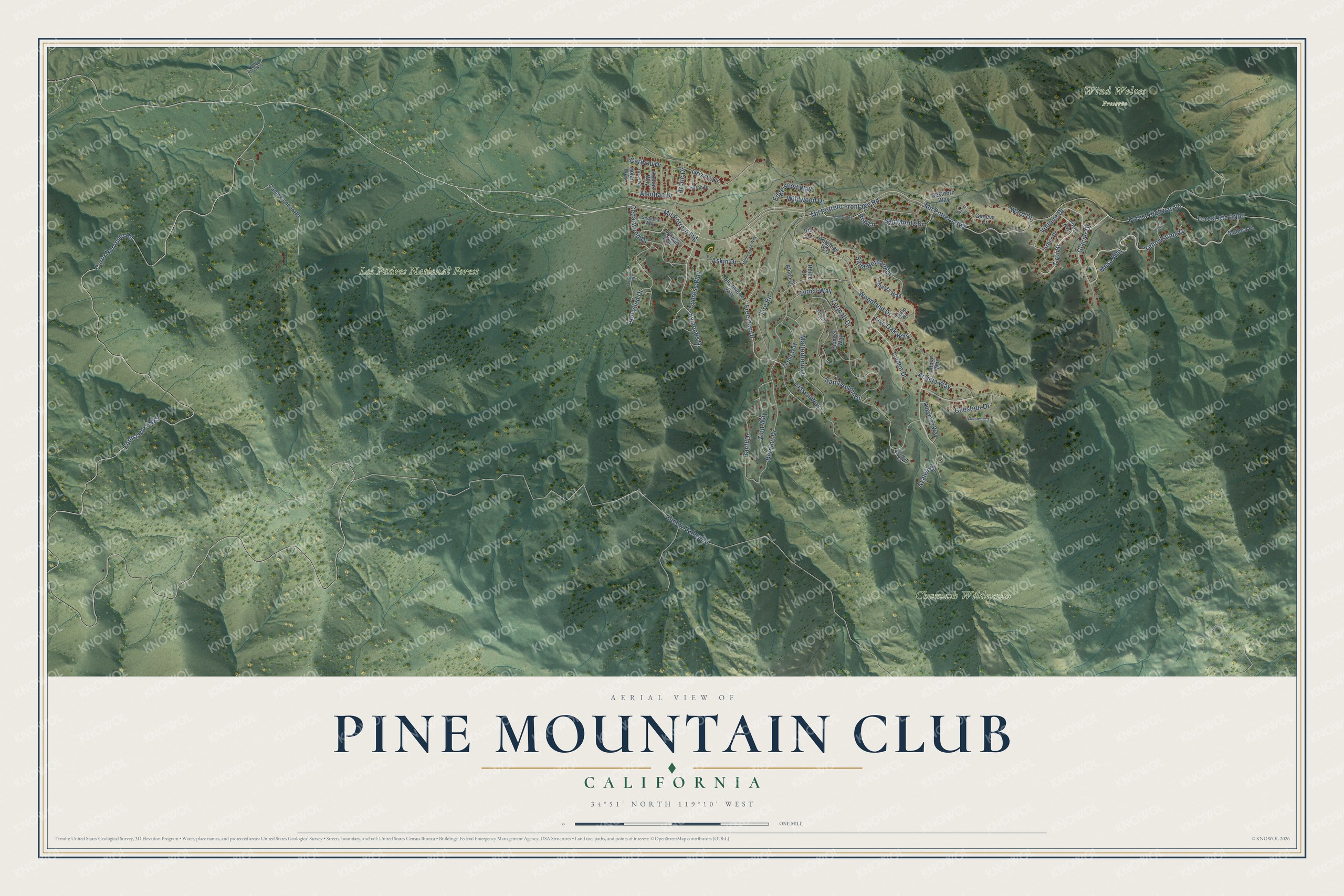
This beautifully detailed map of Pine Mountain Club, California was created in 2026 using aerial imagery combined with modern topographical, census, street and landmark data. It's a modern aerial view of Pine Mountain Club in Kern County, California, that combines modern data with a vintage aesthetic. The roads feature printed names, and if you look closely you can find your exact house accurately shown in its correct location.
Explore an aerial view of Pine Mountain Club, California
On this map you'll find Chumash Wilderness, Los Padres National Forest, Wind Wolves Preserve, Mil Potrero Highway, Forest Highway 95, Symonds Drive, Freeman Drive, Mil Potrero Frontage Road, Caribou Drive, Zermatt Drive, Cerro Noroeste Road, Cuddy Valley Road, and more. Each red shape is a building, so zoom in on the preview and look for yours.
Every town has a first chapter, and Pine Mountain Club is no exception. In 1971 Pine Mountain Club was one of the half dozen major land developments that Tenneco had planned or underway in California. It was described as a 3,200-acre recreational community in the Los Padres National Forest, about an hour's drive from Los Angeles. That's from the Congressional Record.
Pine Mountain Club is a community in Kern County. The Census Bureau counted 2,422 people here in 2020.
Take a closer look at the Pine Mountain Club map
Names on this map
These names are printed on this map.
Places: Chumash Wilderness, Los Padres National Forest and Wind Wolves Preserve.
Streets and roads: Mil Potrero Highway, Forest Highway 95, Symonds Drive, Freeman Drive, Mil Potrero Frontage Road, Caribou Drive, Zermatt Drive, Cerro Noroeste Road, Cuddy Valley Road, Woodland Drive, Yellowstone Drive, Linden Drive.
More street names, A to Z
Acacia Way, Aleutian Drive, Alpen Court, Antelope Way, Arbor Drive, Arctic Drive, Askin Drive, Azalea Court, Banff Drive, Basel Court, Bernina Drive, Birchwood Way, Brig Lane, Bryce Court, Camp Condor Road, Cedarwood Drive, Chestnut Court, Chestnut Drive, Cypress Way, Dogwood Way, Edgewood Way, Fernwood Drive, Fire Road, Geneva Court, Glacier Drive, Grizzly Drive, Huron Drive, Iris Lane, Ironwood Drive, Kodiak Way, Lassen Way, Live Oak Way, Madera Place, Maplewood Way, Matterhorn Drive, Mesa Way, Mil Potrero Ftg, Nesthorn Way, Pioneer Way, Plum Way, Polar Way, Poplar Way, Rhine Court, Saint Anton Drive, Saint Bernard Drive, Sangreia Court, San Moritz Drive, Sequoia Way, Shasta Way, Teton Way, Tirol Avenue, Tirol Drive, Tulip Place, Tyndall Way, Voltaire Drive, Ward Drive, Wildwood Drive, Yukon Way, Zermatt Court, Zion Way, Zurich Way.
See it on a wall
The Pine Mountain Club map as a framed print. Swipe for more.


Created by KNOWOL in 2026. The buildings are small red shapes, the roads carry their printed names, and shaded relief shows the shape of the land. The title panel reads "AERIAL VIEW OF PINE MOUNTAIN CLUB, CALIFORNIA" with 34°51' NORTH 119°10' WEST.
Hang it in the hallway, the office or the cabin, or give it to someone who left Pine Mountain Club and still calls it home. Open the preview and look for a street you know. See sizes and frames for the Pine Mountain Club map.