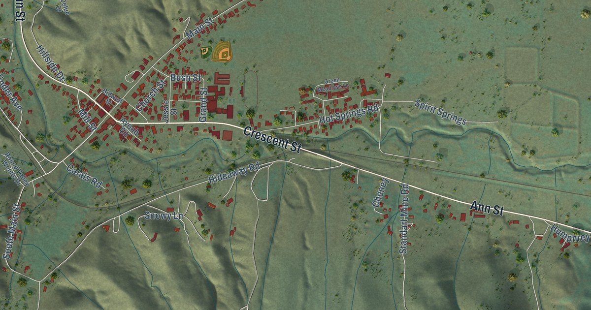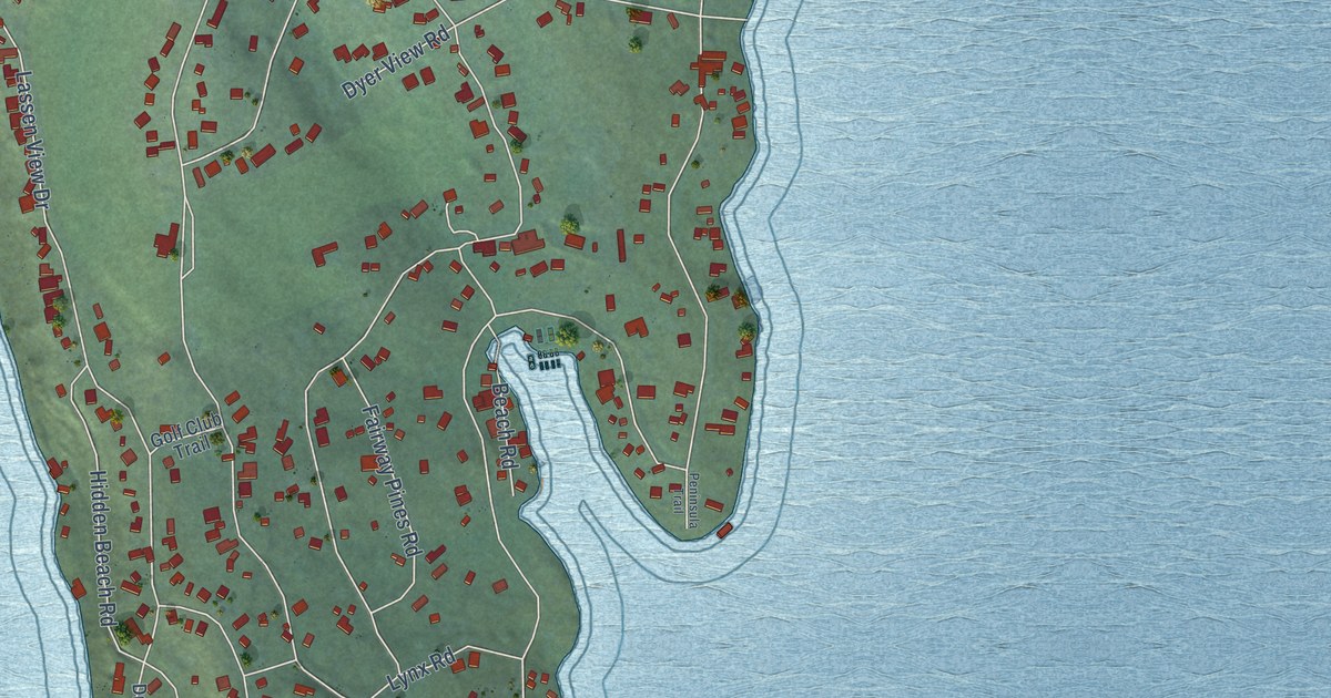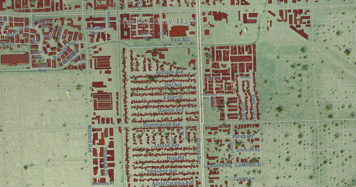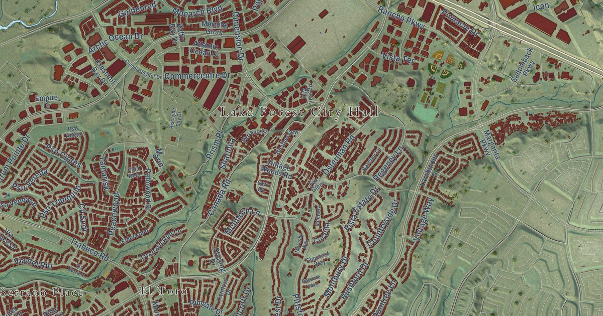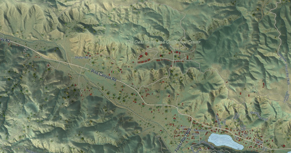
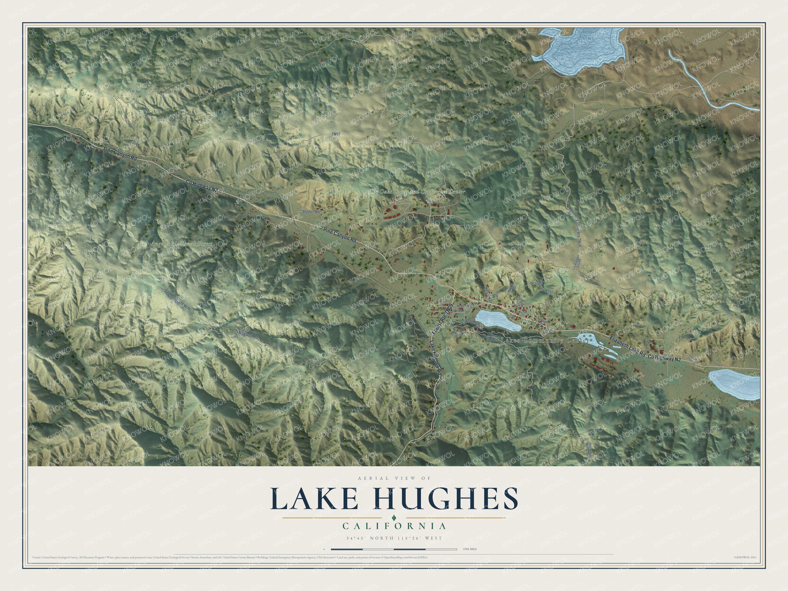
This beautifully detailed map of Lake Hughes, California was created in 2026 using aerial imagery combined with modern topographical, census, street and landmark data. It's a modern aerial view of Lake Hughes in Los Angeles County, California, that combines modern data with a vintage aesthetic. The roads feature printed names, and if you look closely you can find your exact house accurately shown in its correct location.
Explore an aerial view of Lake Hughes, California
On this map you'll find Lakes Community Center, Angeles National Forest, The Oaks Camp and Conference Center, Co Highway N2, Elizabeth Lake Road, Pine Canyon Road, Lake Hughes Road, Newview Drive, Maxwell Road, Sawmill Motor Way, 7N07, Shafer Road, and more. Each red shape is a building, so zoom in on the preview and look for yours.
Here is a piece of Lake Hughes history. In April 1928 a fire destroyed the Lake Hughes store, post office, gas station and a new apartment building run by Joel B. Hurd and B. Brannon. They decided to build again in stone, and in 1929 they finished the Lake Hughes Trading Post, built of rock quarried in the area, which served as store, post office, hotel and stage stop. Hurd had the store open again within four hours of the fire, and the building came to be known as the Rock Inn. That's from the Santa Clarita Valley history site SCVHistory.
Lake Hughes is a community in Los Angeles County. The Census Bureau counted 544 people here in 2020.
Take a closer look at the Lake Hughes map
Names on this map
These names are printed on this map.
Places: Lakes Community Center, Angeles National Forest and The Oaks Camp and Conference Center.
Streets and roads: County Highway N2, Elizabeth Lake Road, Pine Canyon Road, Lake Hughes Road, Newview Drive, Maxwell Road, Sawmill Motor Way, Shafer Road, Grandview Trail, Lakeshore Road, Noblett Drive, Lakeview Drive.
More street names, A to Z
Chaparrel Forest Drive, Devere Court, Ellstree Drive, High Trail, Lake Hughes Truck Trail, Los Angeles City Road, Newvale Drive, Pippin Drive, Pvt Drive, Sage Trail, Sierra Trail, Sunset Trail, Trail East.
See it on a wall
The Lake Hughes map as a framed print. Swipe for more.


Created by KNOWOL in 2026. The buildings are small red shapes, the roads carry their printed names, and shaded relief shows the shape of the land. The title panel reads "AERIAL VIEW OF LAKE HUGHES, CALIFORNIA" with 34°40' NORTH 118°26' WEST.
It suits a den, a classroom or a front hall, and it makes a gift for anyone with Lake Hughes roots. Open the preview and find the block you know. See sizes and frames for the Lake Hughes map.