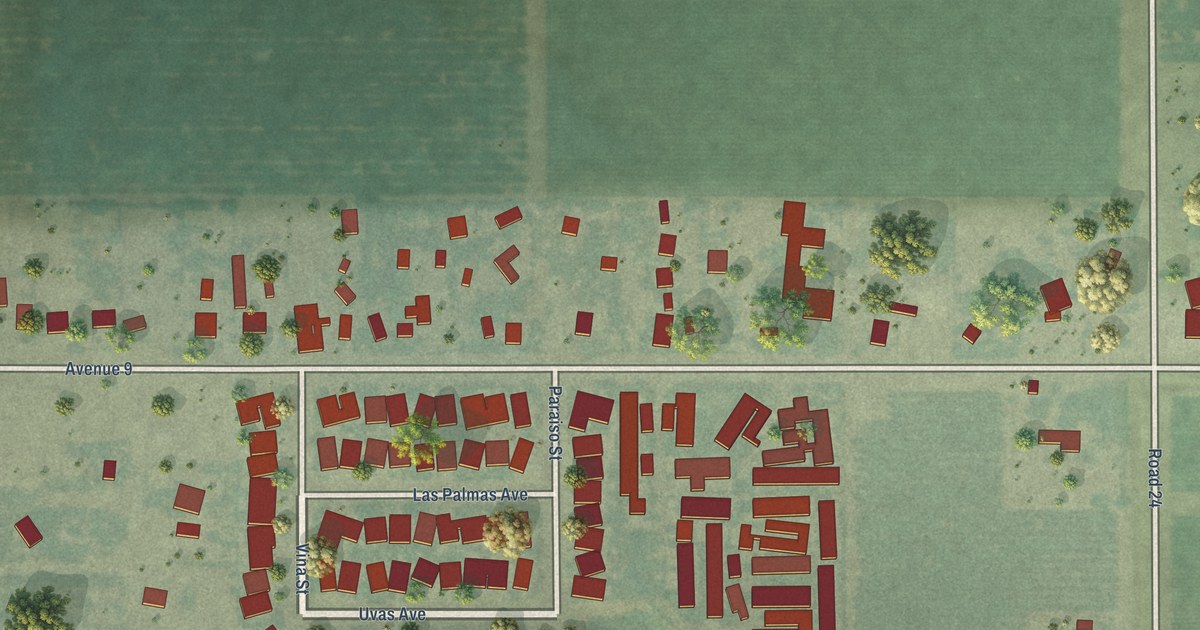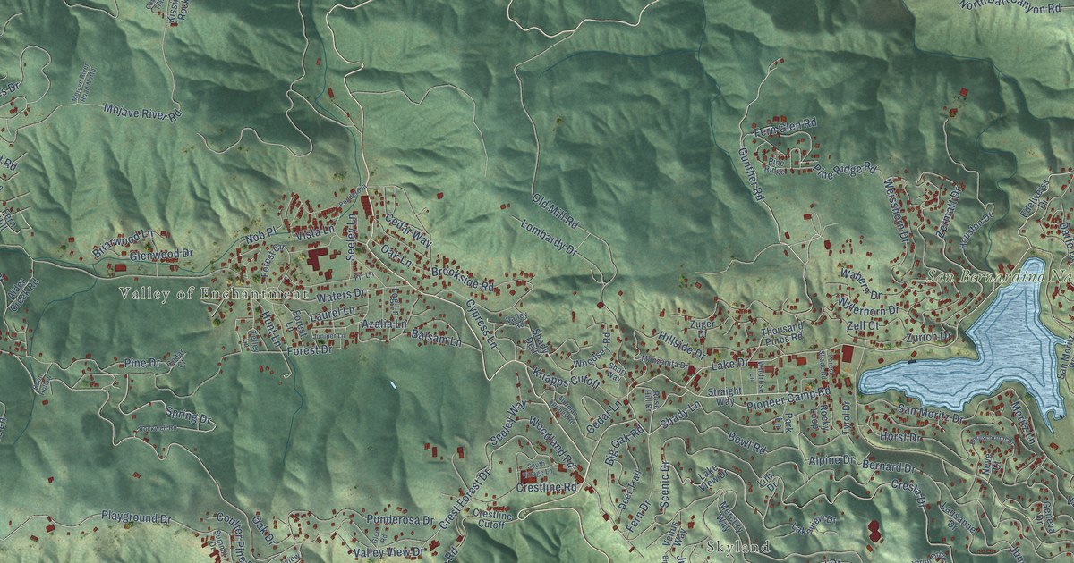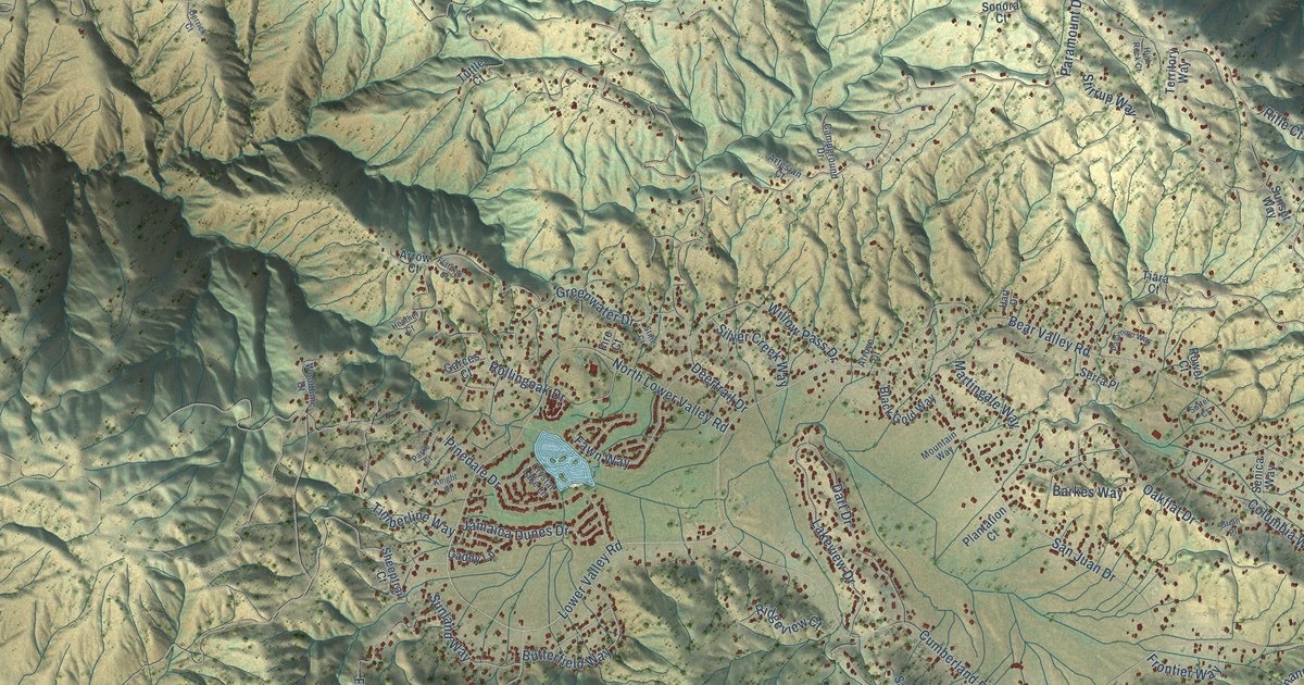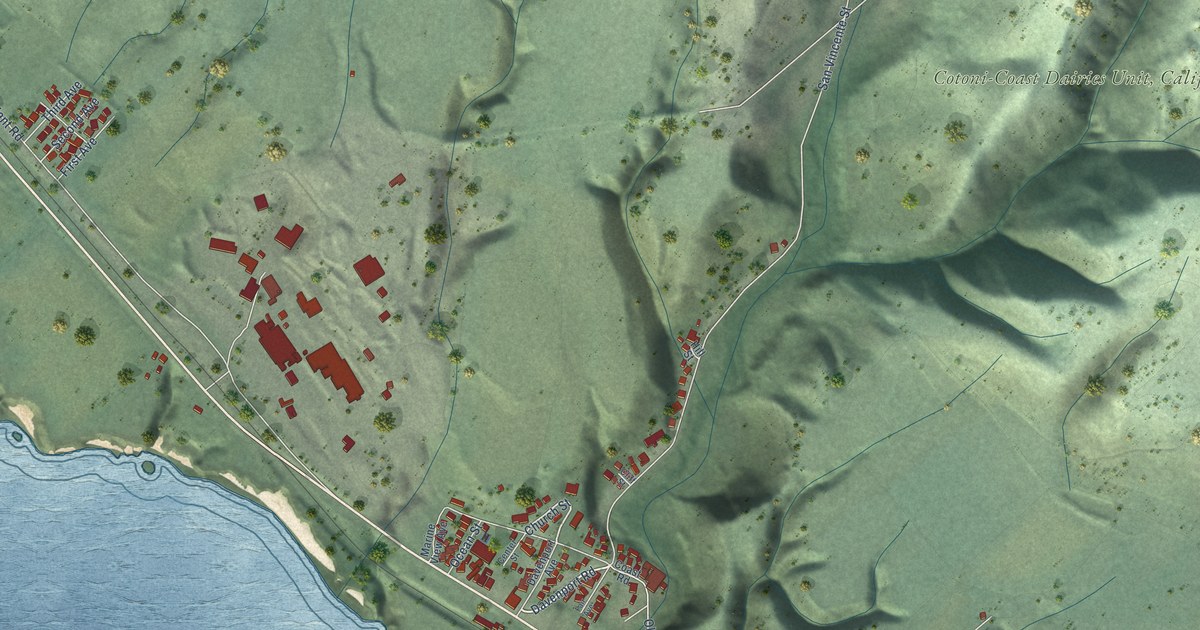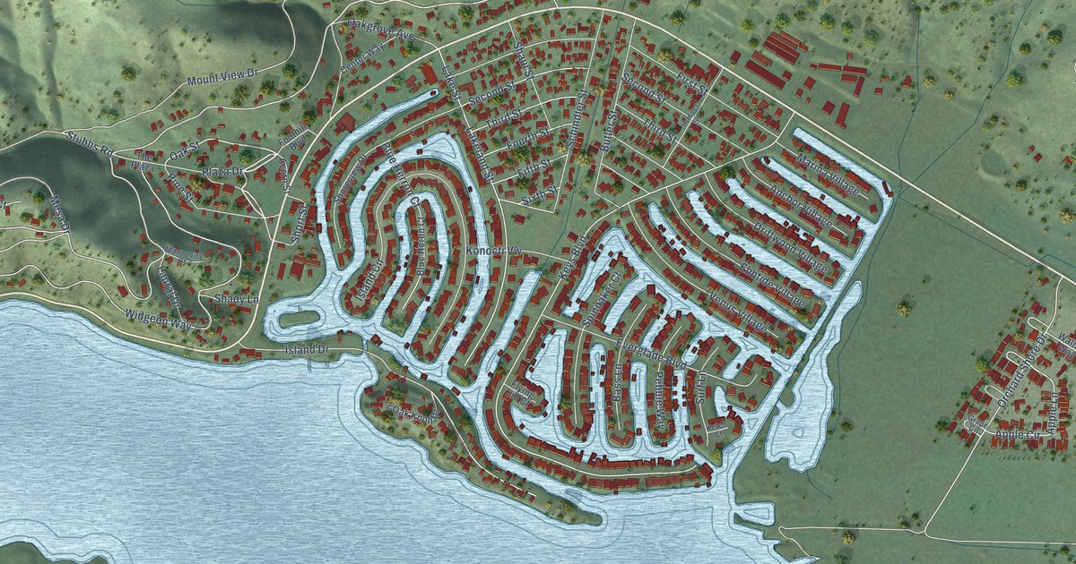
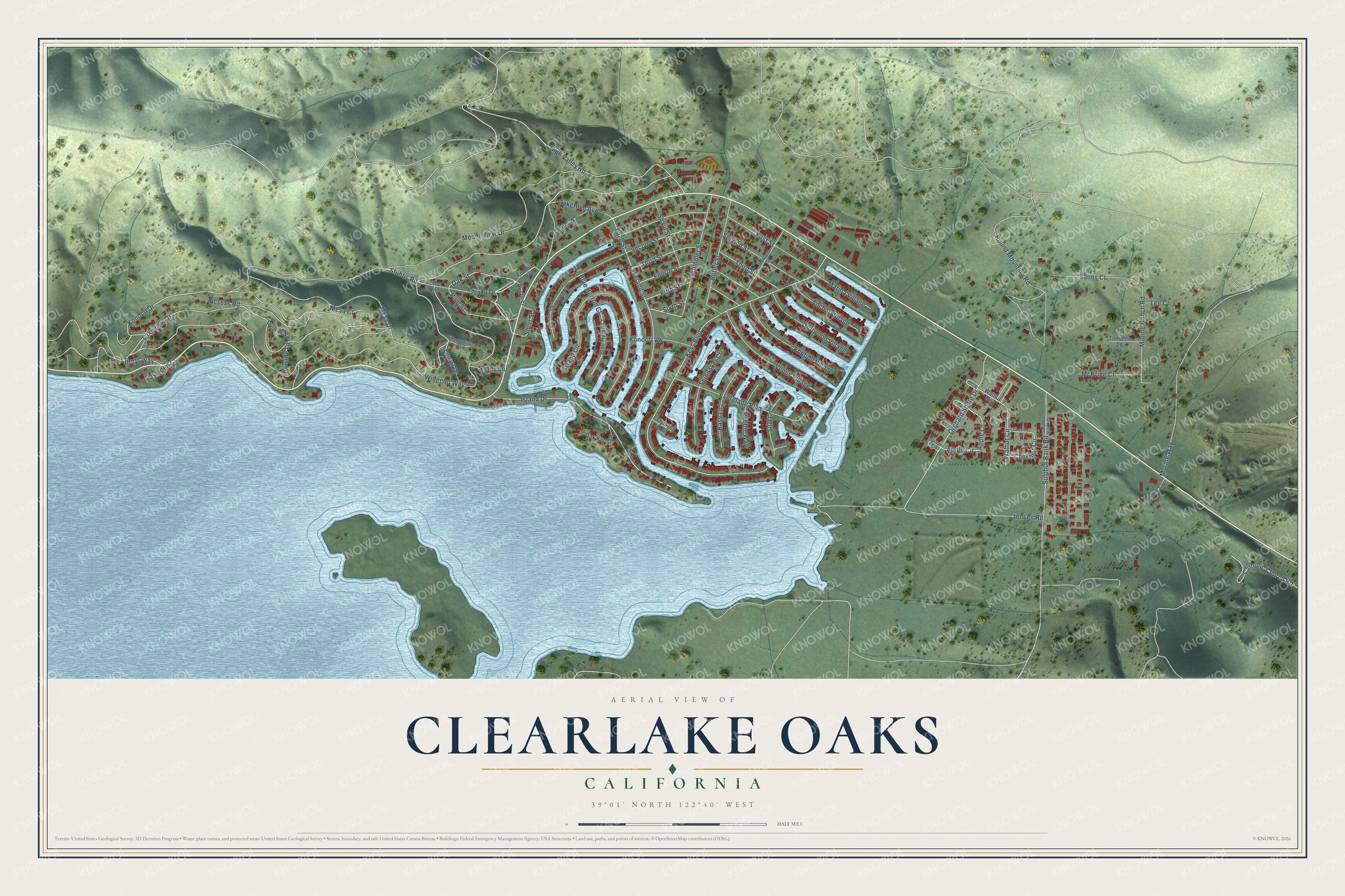
This beautifully detailed map of Clearlake Oaks, California was created in 2026 using aerial imagery combined with modern topographical, census, street and landmark data. It's a modern aerial view of Clearlake Oaks in Lake County, California, that combines modern data with a vintage aesthetic. The roads feature printed names, and if you look closely you can find your exact house accurately shown in its correct location.
Explore an aerial view of Clearlake Oaks, California
On this map you'll find Oak Street, Lakeview Drive, Island Drive, Plaza Drive, Morine Ranch Road, Blue Herron Court, Apple Circle, Apple Lane, Widgeon Way, Keys Boulevard, Konocti Drive, Morine Way, and more. Each red shape is a building, so zoom in on the preview and look for yours.
Clearlake Oaks is a community in Lake County. The Census Bureau counted 2,551 people here in 2020. Clearlake Oaks sits about 5 miles southwest of Spring Valley, 6 miles northeast of Clearlake Riviera and 7 miles east of Lucerne. The map prints the town name in its title panel, with the coordinates below it.
Take a closer look at the Clearlake Oaks map
Names on this map
These names are printed on this map.
Streets and roads: Oak Street, Lakeview Drive, Island Drive, Plaza Drive, Morine Ranch Road, Blue Herron Court, Apple Circle, Apple Lane, Widgeon Way, Keys Boulevard, Konocti Drive, Morine Way.
More street names, A to Z
Acorn Street, Acsess Road, Anchor Village, Bass Lane, Beryl Way, Blue Heron Court, Butler Street, Catholic Church Road, Center Way, Chestnut Circle, Chestnut Lane, Dohy's Way, Driftwood Village, Ebbtide Village, Everglade Boulevard, Fifth Street, First Street, Flying Jib Court, Foothill Boulevard, Fourth Street, Garden Court, Grape Circle, High Valley Road, Hillside Lane, Hoover Street, Island Circle, Jensen Road, Ketch Court, Konocti Vw, Lakeland Street, Lake Street, Laural Drive, Lee Court, Manzanita Court, Marina Village, McBride Court, Mesa Court, Mesa Drive, Milano Court, Mount View Drive, Oakgrove Avenue, Oak Knoll Drive, Orchard Shore Drive, Pebble Way, Pine Street, Round Mountain Road, Sanns Court, Schindler Street, Second Street, Shady Lane, Shaul Street, Shoreview Drive, Short Street, Sixth Street, Spinnaker Court, Stubbs Road, Sulphur Bank Drive, Sulphur Bank Road, Surf Lane, The Plaza, Third Street, Tomalee Lane, Venus Village, Walnut Circle, Walnut Way.
See it on a wall
The Clearlake Oaks map as a framed print. Swipe for more.


Created by KNOWOL in 2026. The buildings are small red shapes, the roads carry their printed names, and shaded relief shows the shape of the land. The title panel reads "AERIAL VIEW OF CLEARLAKE OAKS, CALIFORNIA" with 39°01' NORTH 122°40' WEST.
It suits a den, a classroom or a front hall, and it makes a gift for anyone with Clearlake Oaks roots. Open the preview and find the block you know. See sizes and frames for the Clearlake Oaks map.