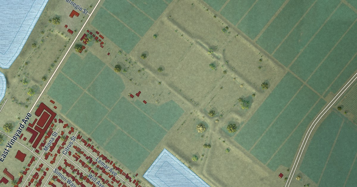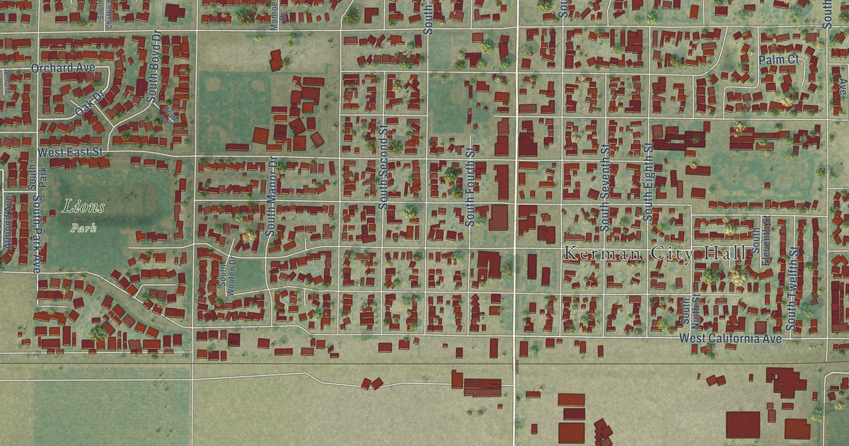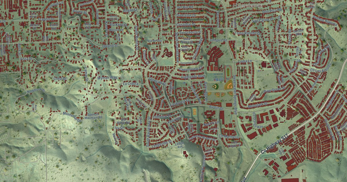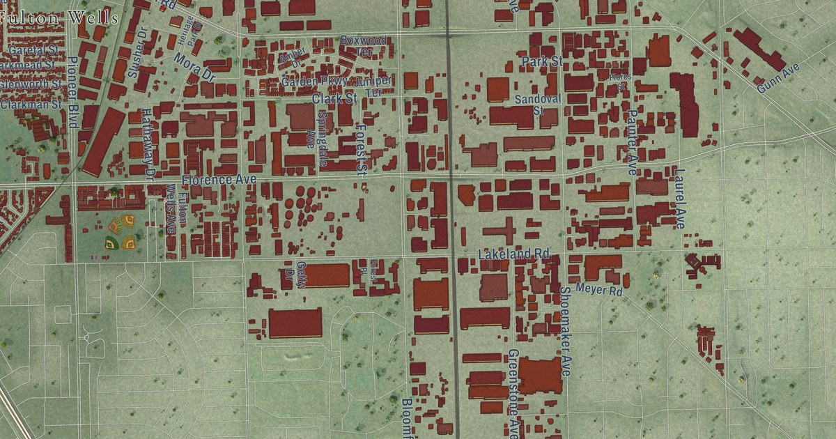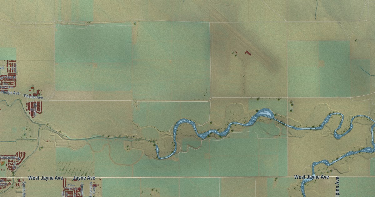
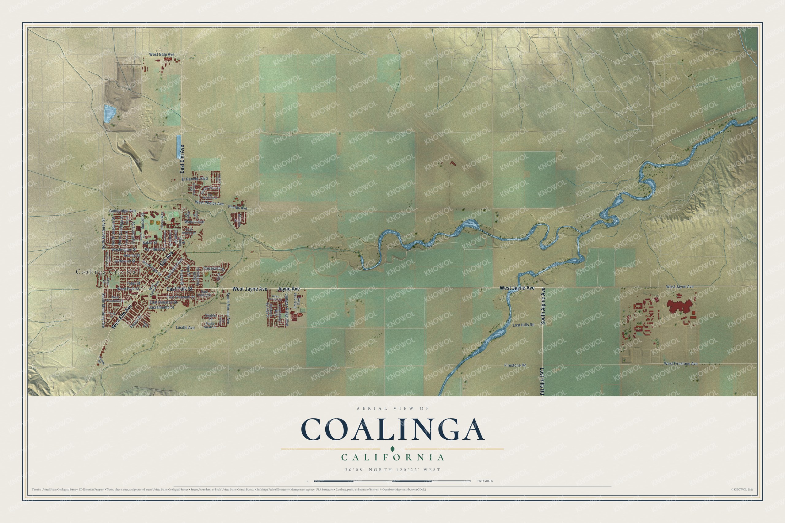
This beautifully detailed map of Coalinga, California was created in 2026 using aerial imagery combined with modern topographical, census, street and landmark data. It's a modern aerial view of Coalinga in Fresno County, California, that combines modern data with a vintage aesthetic. The roads feature printed names, and if you look closely you can find your exact house accurately shown in its correct location.
Explore an aerial view of Coalinga, California
On this map you'll find Coalinga City Hall, Elm Avenue, South Alpine Avenue, West Jayne Avenue, East Elm Avenue, West Elm Avenue, East Polk Street, Lost Hills Road, Jayne Avenue, North Monterey Street, South Monterey Avenue, Washington Street, and more. Each red shape is a building, so zoom in on the preview and look for yours.
Every town has a first chapter, and Coalinga is no exception. The National Park Service puts it this way: "The first structure planned in 1907 was to be called the Polk Street School and be located in the east side of the Coalinga city limits."
Coalinga is a city in Fresno County. The Census Bureau counted 17,590 people here in 2020.
Take a closer look at the Coalinga map
Names on this map
These names are printed on this map.
Places: Coalinga City Hall.
Streets and roads: Elm Avenue, South Alpine Avenue, West Jayne Avenue, East Elm Avenue, West Elm Avenue, East Polk Street, Lost Hills Road, Jayne Avenue, North Monterey Street, South Monterey Avenue, Washington Street, Van Ness Street.
More street names, A to Z
Adams Street, Alcalde Road, Alicia Lane, Baker Street, Buchanan Street, Buckeye Springs Street, Buena Vista Drive, California Street, Cambridge Avenue, Chablis Lane, Chianti Circle, East Cherry Lane, East Glenn Avenue, East Houston Street, East Pleasant Street, East Valley Street, El Rancho Boulevard, Enterprise Parkway, Falcon Way, Firestone Road, Folsom Road, Forest Street, Fresno Street, Grant Street, Hayes Street, Jefferson Street, Juniper Ridge Boulevard, Keck Lane, Lincoln Street, Longhollow Way, Lucille Avenue, Maple Road, Michelle Street, Nevada Street, North Coalinga Street, North Fifth Street, North Hachman Street, North Joaquin Street, North Princeton Avenue, Pacific Street, Petite Sirah Lane, Phelps Avenue, Pine Street, Pinto Street, Roosevelt Street, Sacramento Street, San Madele Avenue, San Pablo Drive, South Merced Avenue, Sunset Avenue, Sunset Street, Truman Street, Tyler Street, Via Robles Drive, Walnut Avenue, West Firestone Avenue, West Forest Avenue, West Gale Avenue, West Phelps Avenue, West Pleasant Street, West Polk Street, Willow Springs Avenue.
Created by KNOWOL in 2026. The buildings are small red shapes, the roads carry their printed names, and shaded relief shows the shape of the land. The title panel reads "AERIAL VIEW OF COALINGA CALIFORNIA" with 36°08' NORTH 120°22' WEST.
Hang it in the hallway, the office or the cabin, or give it to someone who left Coalinga and still calls it home. Open the preview and look for a street you know. See sizes and frames for the Coalinga map.