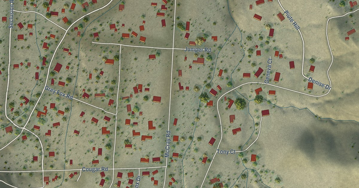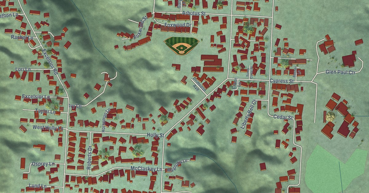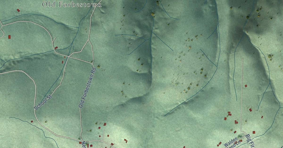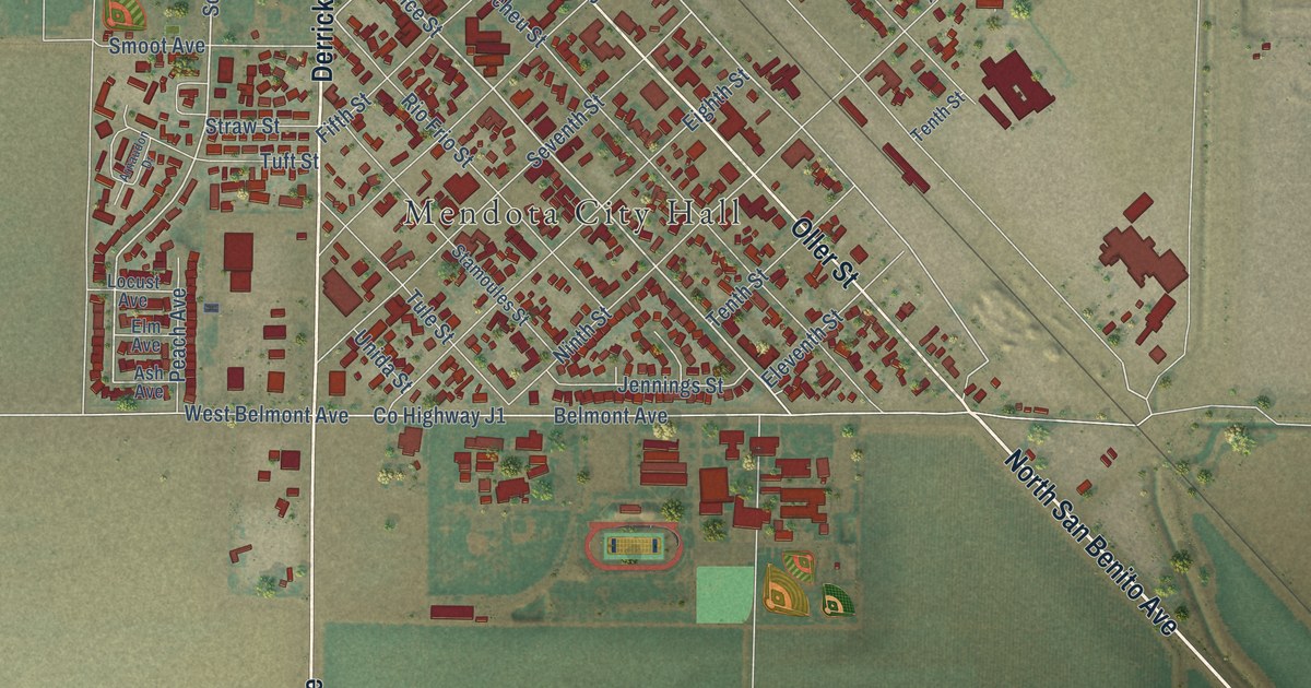
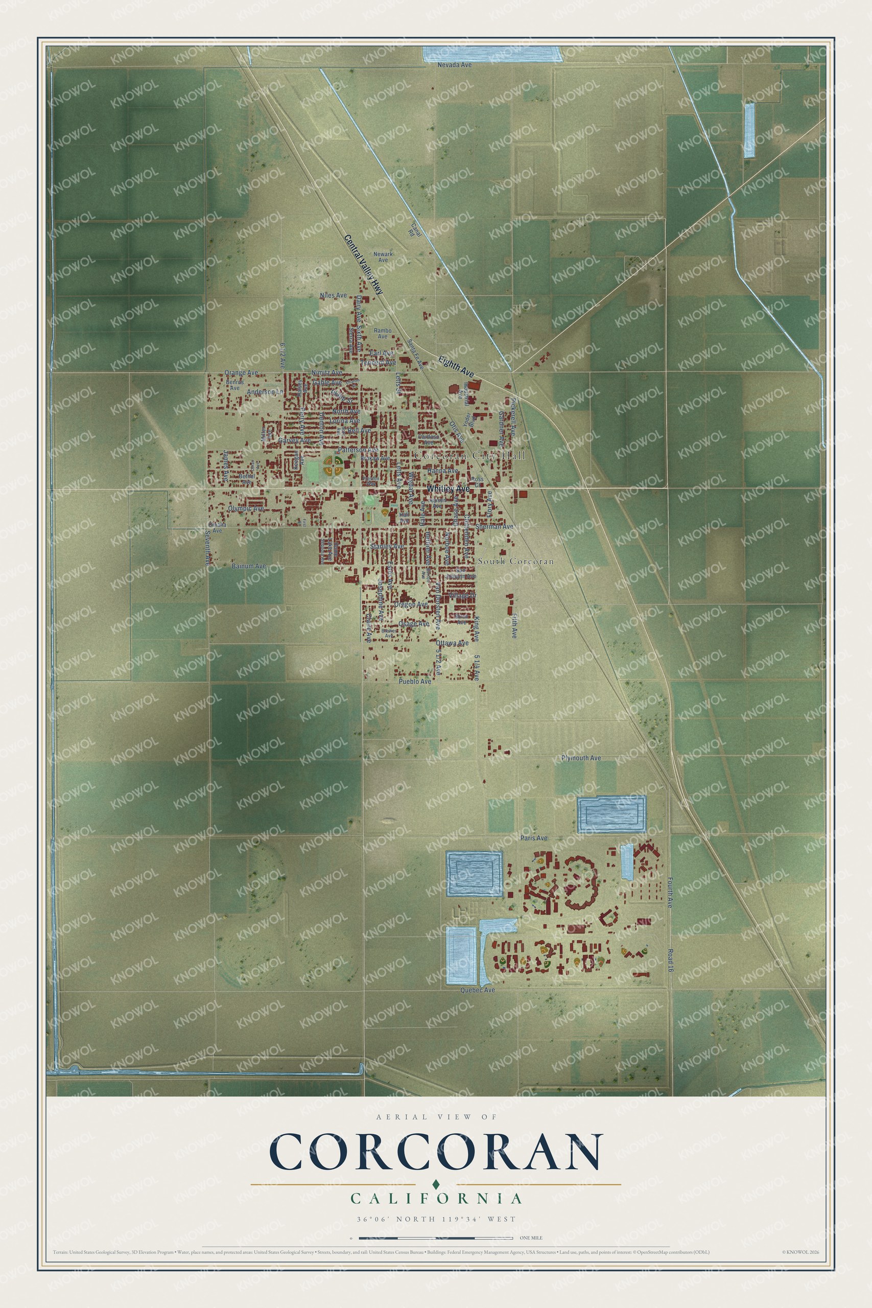
This beautifully detailed map of Corcoran, California was created in 2026 using aerial imagery combined with modern topographical, census, street and landmark data. It’s a one-of-a-kind view of Corcoran that combines accurate data with a vintage aesthetic. The map shows every building in its true location, many of the roads carry their names, and the shaded topographic relief shows the shape of the land.
Explore an aerial view of Corcoran, California
On the map you’ll find Corcoran City Hall and South Corcoran, along with Whitley Avenue, Central Valley Highway, Eighth Avenue, Josephine Avenue, Pickerell Avenue, Stanley Avenue, Dairy Avenue, Sherman Avenue, Gable Avenue, Flory Avenue, and more. If you look closely you can even find your house accurately drawn in its correct location. Zoom in on the preview to look for yours.
Did you know this piece of Corcoran, California history?
From the City of Corcoran: "H. J. Whitley, a prominent land developer from southern California, took the lead in building Corcoran (the main street of the community is named in his honor)."
Take a closer look at the Corcoran map
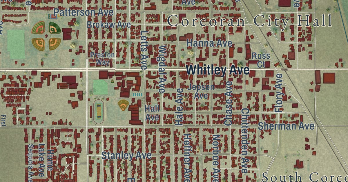
Street and place names on the Corcoran, California map
These names are printed on the map of Corcoran, California.
Places: Corcoran City Hall and South Corcoran.
Streets and roads: Whitley Avenue, Central Valley Highway, Eighth Avenue, Dairy Avenue, Pickerell Avenue, Stanley Avenue, Sherman Avenue, Josephine Avenue, Gable Avenue, Flory Avenue, Nimitz Avenue, Sixth Avenue.
More street names, A to Z
Anderson Lane, Bainum Avenue, Bell Avenue, Benrus Avenue, Bethel Avenue, Birch Avenue, Brewer Avenue, Brokaw Avenue, Burton Avenue, Canal Road, Cardoso Avenue, Charles Street, Chase Avenue, Chittenden Avenue, Claire Avenue, Denton Avenue, Doran Avenue, Earl Avenue, Estes Avenue, Fifth Avenue, First Street, Fourth Avenue, Gardner Avenue, Garvey Avenue, Hale Avenue, Hall Avenue, Halsey Avenue, Hanna Avenue, Heffner Avenue, Hume Lake Avenue, Industrial Avenue, James Avenue, Jepsen Avenue, Keegan Avenue, King Avenue, Letts Avenue, Letts Street, Lorina Avenue, Miller Avenue, Nevada Avenue, Newark Avenue, Niles Avenue, Norboe Avenue, North Avenue, Olympic Avenue, Omaha Avenue, Orange Avenue, Oregon Avenue, Osage Avenue, Otis Avenue, Ottawa Avenue, Paris Avenue, Patterson Avenue, Perry Avenue, Philip Street, Plymouth Avenue, Preston Way, Pueblo Avenue, Quebec Avenue, Rambo Avenue, Road 16, Ross Court, San Joaquin Avenue, Santa Fe Avenue, Sequoia Avenue, Seventh Avenue, Sierra Avenue, Soto Avenue, Tennent Avenue, Van Dorsten Avenue, Village Drive, Wigdal Avenue, Yoder Boulevard.
See the Corcoran, California map on a wall
The Corcoran map as an 18 x 24 inch print in a black frame.

This beautifully detailed map of Corcoran makes an attractive addition to your office, library, or den, and it can even be used to teach children the geography and history of the area. It also makes a great gift for anyone with Corcoran roots. When you’re done exploring, click here to get your copy of the Corcoran map.