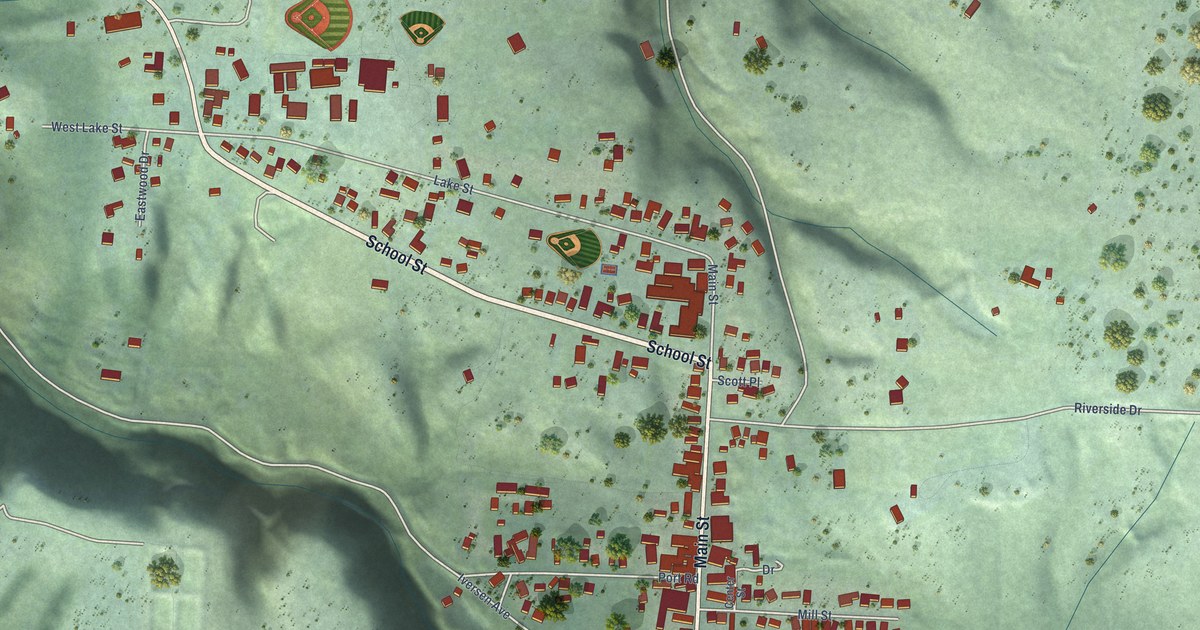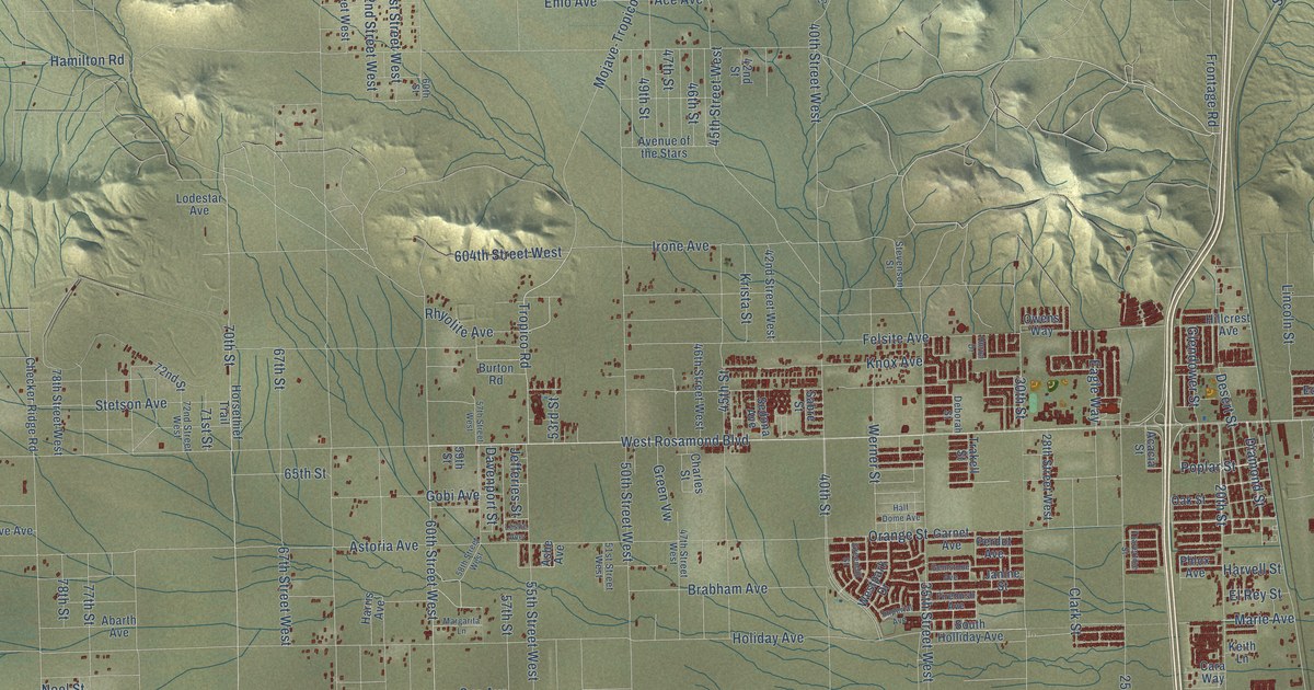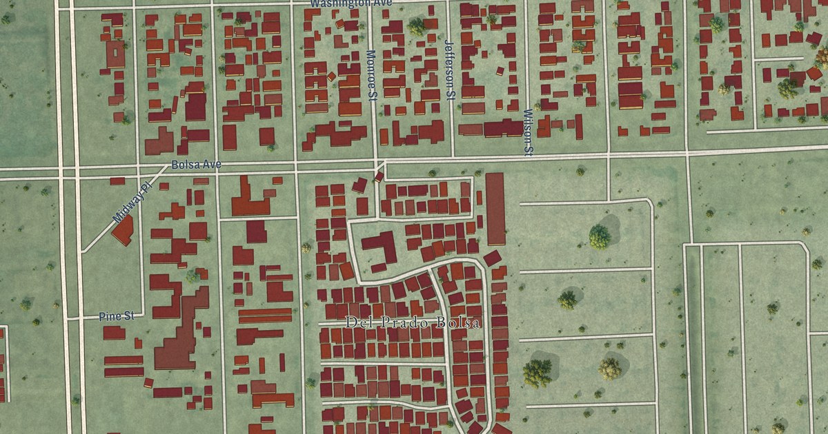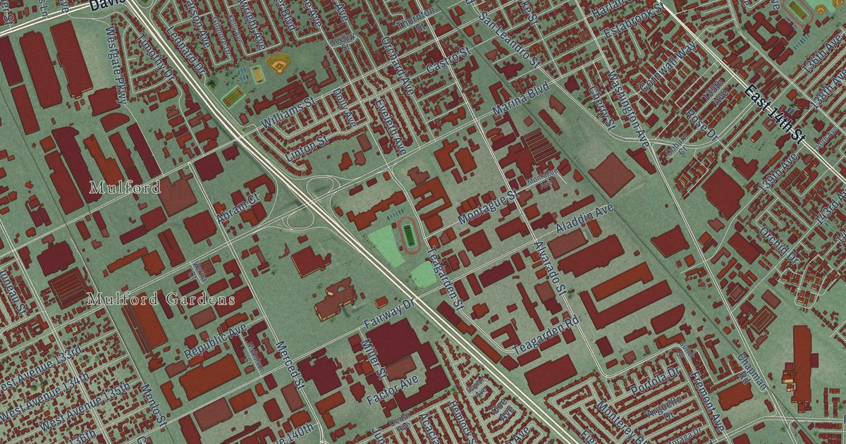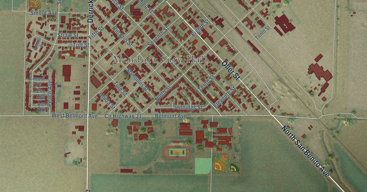
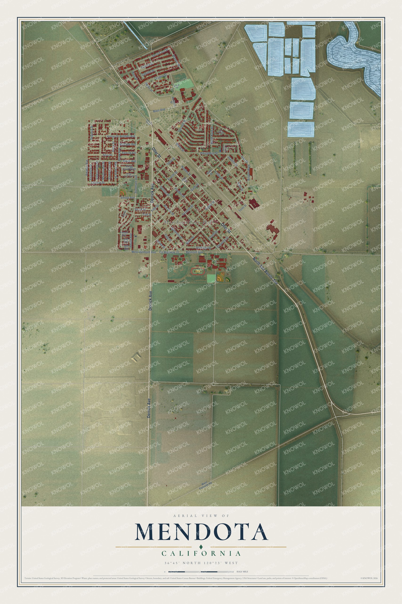
This beautifully detailed map of Mendota, California was created in 2026 using aerial imagery combined with modern topographical, census, street and landmark data. It's a modern aerial view of Mendota in Fresno County, California, that combines modern data with a vintage aesthetic. The roads feature printed names, and if you look closely you can find your exact house accurately shown in its correct location.
Explore an aerial view of Mendota, California
On this map you'll find Mendota City Hall, North San Benito Avenue, Derrick Avenue, Oller Street, Quince Street, Blanco Street, Holmes Avenue, Sorensen Avenue, Fourth Street, De la Cruz Street, Third Street, Sixth Street, and more. Each red shape is a building, so zoom in on the preview and look for yours.
Mendota has a story worth telling. The City of Mendota puts it this way: "The City of Mendota has its origins in the railroad industry. In 1891, Mendota thrived as a Southern Pacific Railroad storage and switching facility site."
Mendota is a city in Fresno County. The Census Bureau counted 12,595 people here in 2020.
Take a closer look at the Mendota map
Names on this map
These names are printed on this map.
Places: Mendota City Hall.
Streets and roads: North San Benito Avenue, Derrick Avenue, Oller Street, Quince Street, Blanco Street, Holmes Avenue, Sorensen Avenue, Fourth Street, De la Cruz Street, Third Street, Sixth Street, Naples Street.
More street names, A to Z
Airport Boulevard, Amador Avenue, Arnaudon Drive, Ash Avenue, Barboza Street, Bass Avenue, Belmont Avenue, Black Avenue, Bou Circle, Boyer Street, County Highway J1, Divisadero Street, Eighth Street, Eleventh Street, Elm Avenue, Espinoza Street, Fifth Street, Fleming Avenue, Garcia Street, Gaxiola Street, Gregg Court North, Gregg Court South, Holmes Street, Inez Street, Jennings Street, Juanita Street, Kate Street, Locust Avenue, Lolita Street, Lozano Street, Maldonado Street, Marie Street, McCabe Avenue, Ninth Street, North Juanita Street, North Kate Street, Oxnard Street, Peach Avenue, Perez Street, Petry Street, Pucheu Street, Rio Frio Street, Rios Street, Rowe Avenue, San Pedro Street, Santa Cruz Street, Santa Fe Grade, Second Street, Segovia Street, Seventh Street, Silva Str, Smoot Avenue, Stamoules Street, Straw Street, Tenth Street, Tuft Street, Tule Street, Unida Street, Valenzuela Street, West Belmont Avenue, West Panoche Road.
Created by KNOWOL in 2026. The buildings are small red shapes, the roads carry their printed names, and shaded relief shows the shape of the land. The title panel reads "AERIAL VIEW OF MENDOTA CALIFORNIA" with 36°45' NORTH 120°23' WEST.
It looks right in a kitchen, an office or a den, and it's a gift for anyone who grew up in Mendota or moved away. Open the preview and find your street. See sizes and frames for the Mendota map.