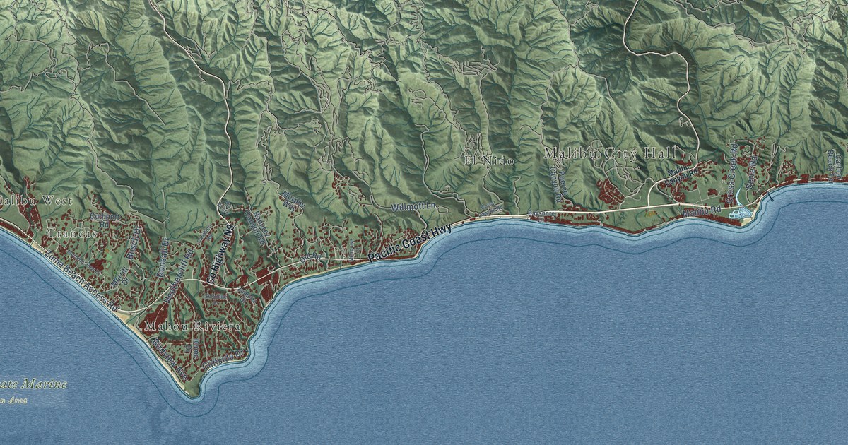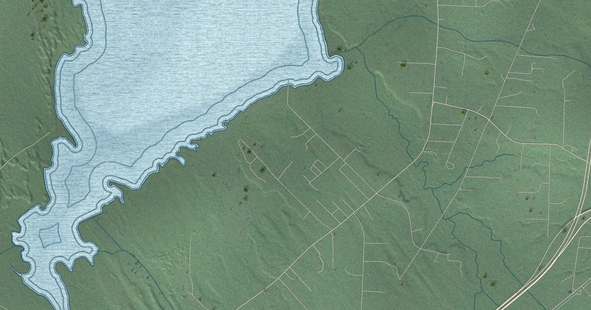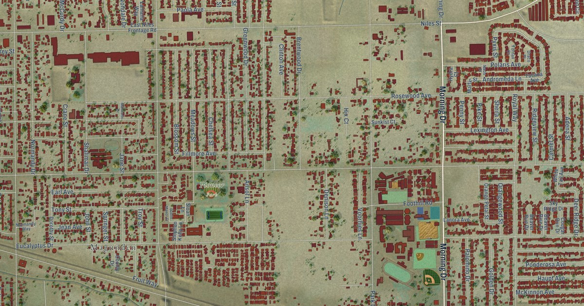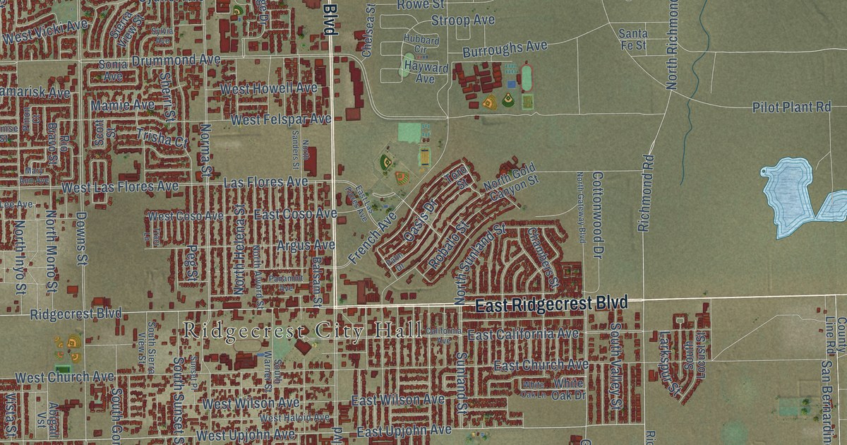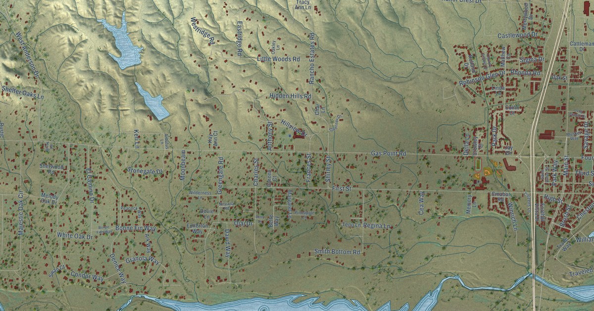
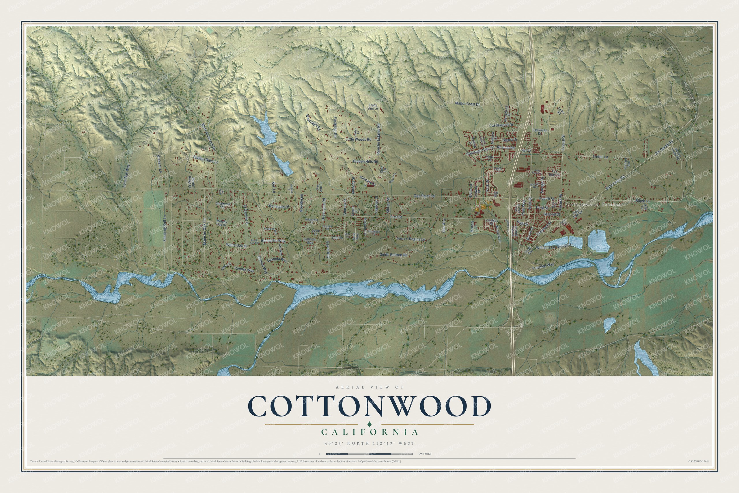
This beautifully detailed map of Cottonwood, California was created in 2026 using aerial imagery combined with modern topographical, census, street and landmark data. It's a modern aerial view of Cottonwood in Shasta County, California, that combines modern data with a vintage aesthetic. The roads feature printed names, and if you look closely you can find your exact house accurately shown in its correct location.
Explore an aerial view of Cottonwood, California
On this map you'll find Cottonwood Estates, Main Street, Black Lane, Balls Ferry Road, Williams, Williams Lane, Denice Way, Locust Street, Fourth Street, Jim Dandy Road, Gas Point Road, First Street, and more. Each red shape is a building, so zoom in on the preview and look for yours.
Here is a piece of Cottonwood history, in the words of the record. The National Register of Historic Places puts it this way: "These include the old Cottonwood school (now the Grange Hall), the old
sanctuary of the First Baptist Church and several old homes."
Cottonwood is a community in Shasta County. The Census Bureau counted 6,268 people here in 2020.
Take a closer look at the Cottonwood map
Names on this map
These names are printed on this map.
Places: Cottonwood Estates.
Streets and roads: Main Street, Black Lane, Balls Ferry Road, Williams, Williams Lane, Denice Way, Locust Street, Fourth Street, Jim Dandy Road, Gas Point Road, First Street, Majestic Oak Circle.
More street names, A to Z
Anthony Street, Arbutus Lane, Ark Way, Bette Way, Betty Lane, Bixby Road, Bonne Finn Way, Bonne Fin Way, Brush Street, Castlewood Drive, Cattleman Drive, Cea Way, Char Lane, Charles Street, Chestnut Street, Cinabar Road, Citizens Lane, Collin Court, Condor Way, Coreen Court, Country Estates Drive, Crowley Court, David Way, Della Lane, Dickens Lane, Dovie Lane, Eastridge Road, El Camino Drive, Foothill Vista Drive, Fox Hunt Drive, Frances Street, Fullerton Way, Gotcha Creek Road, Granola Way, Greengate Road, Hidden Hills Road, High Street, Hillview Drive, Jay Drive, Kay Ann Court, Keri Lane, Kilo Lane, Linda Lane, Little Woods Road, Live Oak Road, Locust Road, Lone Oak Way, Long Branch Drive, Manor Crest Drive, Margaret Lane, Matthew Court, Melody Oak Drive, Memory Lane, Merrywood Drive, Moonbeam, Musket Way, Nirvana Road, Oakley Lane, Oak Street, Ojai Drive, Orchard Avenue, Pacific Trail, Park Drive, Park Way, Peacock Way, Pineapple Lane, Querner Drive, Rancho Estates Road, Regina Lane, Rhonda Road, Robinson Glen Drive, Rolland Drive, Rose Avenue, Rustic Ridge Drive, Saint Omer Street, Savage Drive, Second Street, Shelter Oaks Lane, Sherwood Road, Shirley Street, Sigma Drive, Sleeping Bull Lane, Smith Bottom Road, Stonegate Drive, Swan Court, Teno Lane, Third Street, Tracy Ann Lane, Trade Way, Traveled Way, Trefoil Lane, Turbo Road, West Anderson Drive, Westridge Road, White Oak Drive, Wilderness Lane, Winrich Lane.
Created by KNOWOL in 2026. The buildings are small red shapes, the roads carry their printed names, and shaded relief shows the shape of the land. The title panel reads "AERIAL VIEW OF COTTONWOOD CALIFORNIA" with 40°23' NORTH 122°19' WEST.
It suits a den, a classroom or a front hall, and it makes a gift for anyone with Cottonwood roots. Open the preview and find the block you know. See sizes and frames for the Cottonwood map.