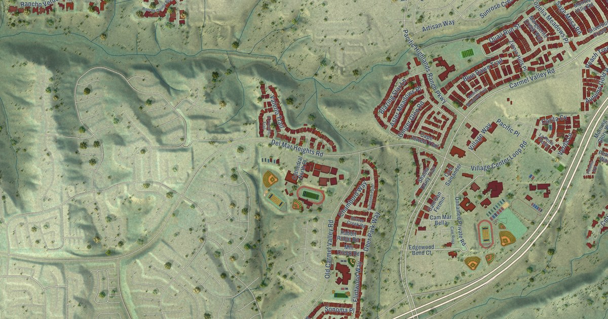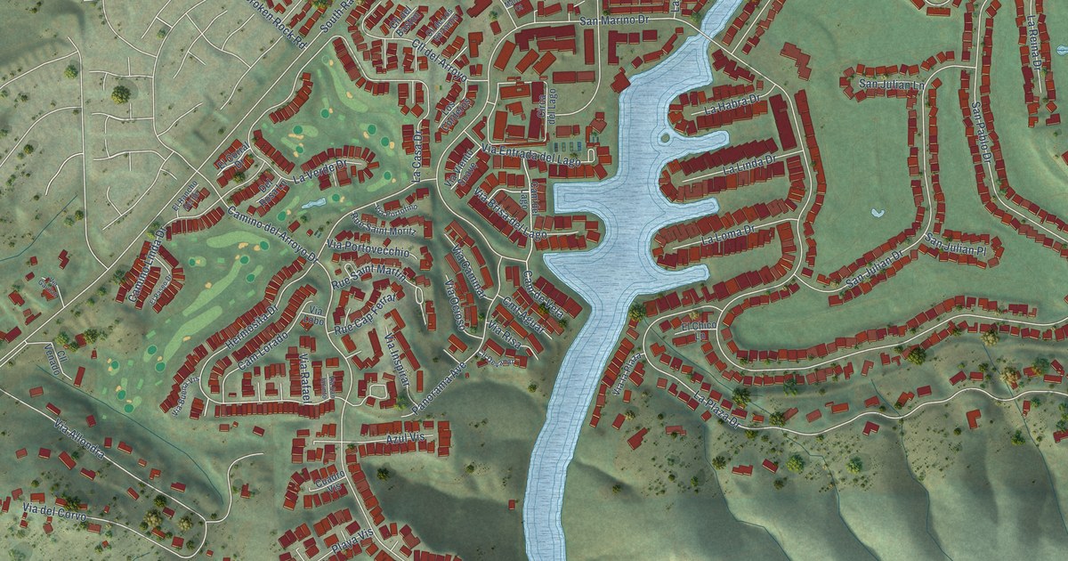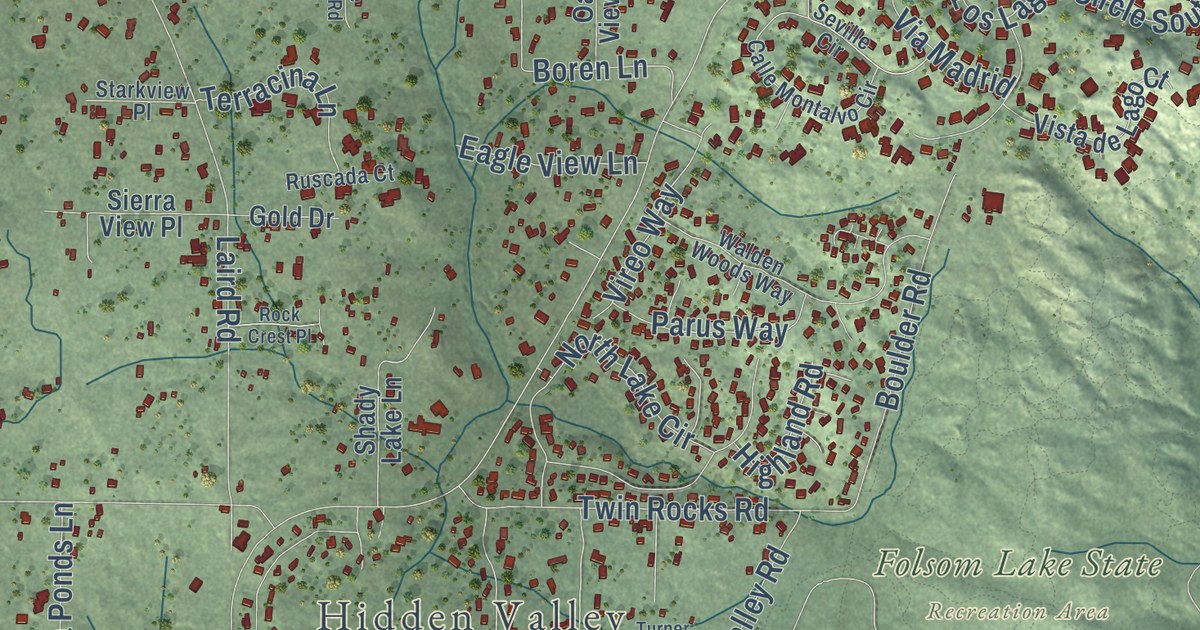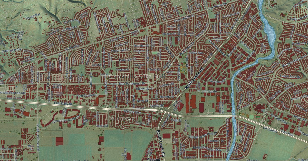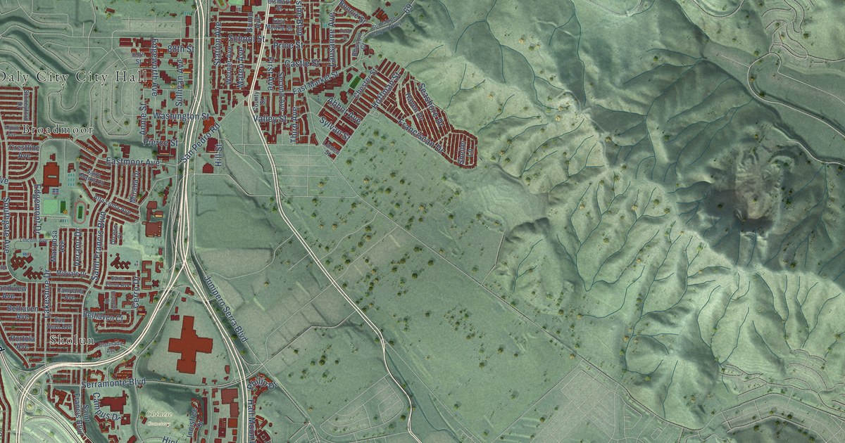
This beautifully detailed map of Daly City, California was created in 2026 using aerial imagery combined with modern topographical, census, street and landmark data. It’s a one-of-a-kind view of Daly City that combines accurate data with a vintage aesthetic. The map shows every building in its true location, many of the roads carry their names, and the shaded topographic relief shows the shape of the land.
Explore an aerial view of Daly City, California
On the map you’ll find Bayshore, Chinese Cemetery, Broadmoor, Oceanview, Sholun, and Westlake, along with Mission Street, Skyline Boulevard, John Daly Boulevard, Park Plaza Drive, Acton Street, Junipero Serra Boulevard, and more. If you look closely you can even find your house accurately drawn in its correct location. Zoom in on the preview to look for yours.
Did you know this piece of Daly City, California history?
From the Historical Marker Database: "Near this site from 1868-1907 was the 250 acre San Mateo dairy ranch operated by pioneer resident John Daly, for whom Daly City was named upon incorporation of the city in 1911."
Take a closer look at the Daly City map
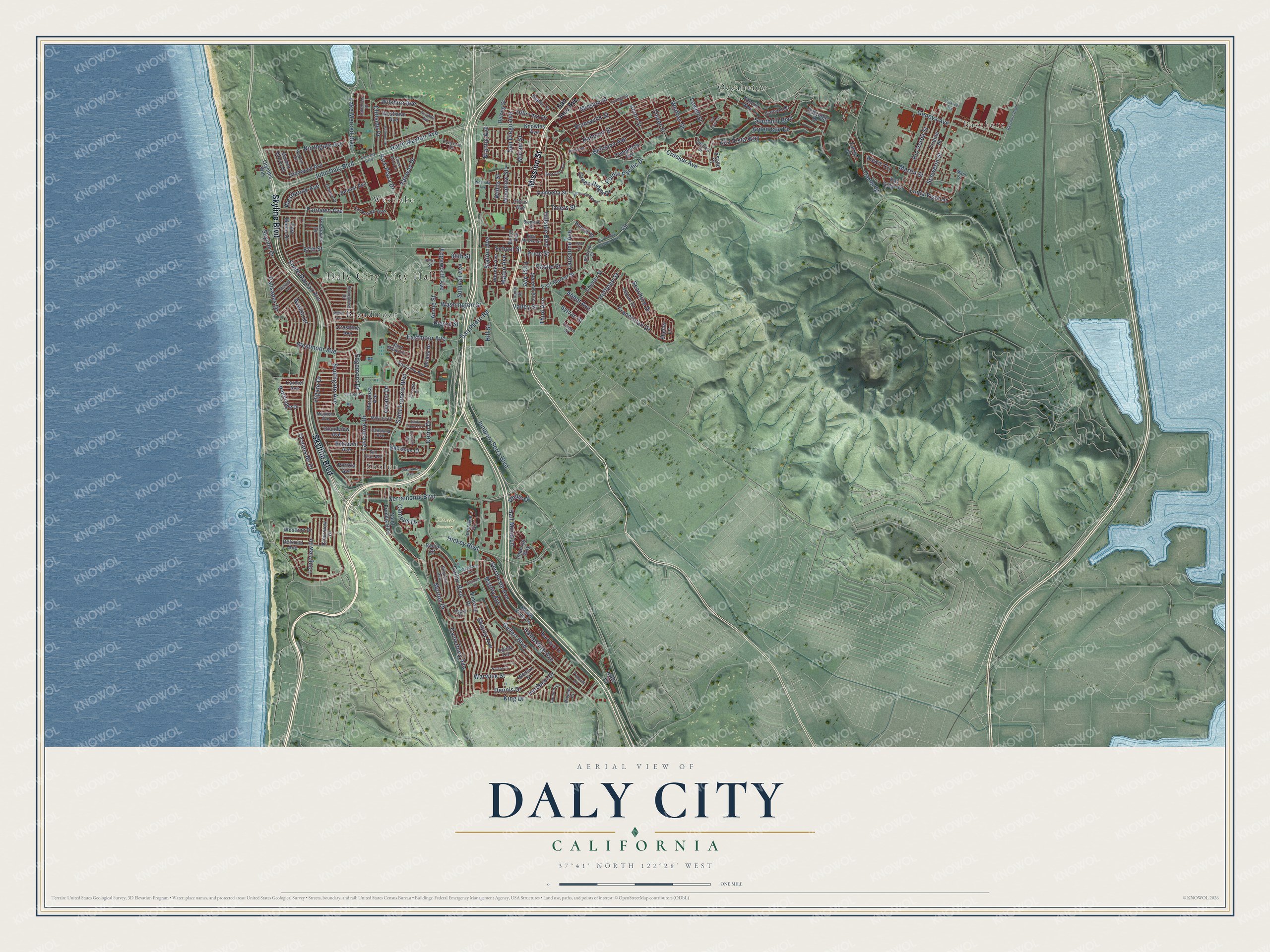
Street and place names on the Daly City, California map
These names are printed on the map of Daly City, California.
Places: Daly City City Hall, Bayshore, Chinese Cemetery, Broadmoor, Oceanview, Sholun and Westlake.
Streets and roads: Mission Street, Skyline Boulevard, John Daly Boulevard, Park Plaza Drive, Acton Street, Junipero Serra Boulevard, Whittier Street, Bellevue Avenue, North Mayfair Avenue, Geneva Avenue, Brunswick Street, Crocker Avenue.
More street names, A to Z
87th Street, 88th Street, 89th Street, Abbot Avenue, Alemany Boulevard, Alexis Circle, Alpine Avenue, Alta Loma Avenue, Alta Vista Way, Annie Street, Ardendale Drive, Avalon Drive, Bacon Court, Barbara Lane, Bay Ridge Drive, Bayshore Boulevard, Belcrest Avenue, Belhaven Avenue, Belhaven Court, Belmar Avenue, Belmont Drive, Bepler Street, Bismark Street, Blossom Court, Bonnie Street, Bromley Court, Bruno Avenue, Callan Boulevard, Camelot Court, Campana Avenue, Campus Drive, Canterbury Avenue, Canyon Drive, Carmel Avenue, Carter Street, Castle Street, Cerro Drive, Chester Street, Citrus Avenue, Cityview Drive, Clarinada Avenue, Clearview Drive, Cliffside Drive, Coronado Avenue, County Street, Crestline Avenue, Delong Street, Dennis Drive, East Market Street, East Moltke Street, Eastmoor Avenue, East Vista Avenue, Edgemont Drive, Edgeworth Avenue, Elmwood Drive, Escuela Drive, Estate Court, Fairlawn Avenue, Fairway Drive, Farrier Place, First Avenue, Ford Street, Forest Grove Drive, Franciscan Drive, Gambetta Street, Garden Grove Drive, Gellert Boulevard, Glenwood Avenue, Grandview Avenue, Green Ridge Drive, Guadalupe Canyon Parkway, Half Moon Lane, Hampshire Avenue, Hanover Street, Haven Drive, Heath Court, Hickey Boulevard, Higate Drive, Hillcrest Drive, Hillside Boulevard, Hill Street, Hoffman Street, Hyde Court, Imperial Way, Innisfree Drive, Irvington Street, King Drive, Knowles Avenue, Lake Merced Boulevard, Lakeshire Drive, Lakeview Drive, Lausanne Avenue, Lincoln Avenue, Linda Vista Drive, Linden Street, Longview Drive, Lowell Street, Lycett Circle, Main Street, Marbly Avenue, Mariposa Avenue, Martin Street, Mateo Avenue, Mayfield Avenue, Midvale Drive, Mirada Drive, Miriam Street, Monte Vista Lane, Morton Drive, Nelson Court, Niantic Avenue, Northgate Avenue, Northridge Drive, Oakridge Drive, Oceanside Drive, Olcese Court, Oliver Street, Olympic Way, Oriente Street, Palisades Drive, Park Manor Drive, Penhurst Avenue, Peoria Street, Philip Drive, Pierce Street, Pinehaven Drive, Plymouth Circle, Pointe Pacific Drive, Polaris Way, Poncetta Drive, Portola Avenue, Price Street, Reservoir Hill Road, Rio Verde Street, Saint Francis Boulevard, Saint Marks Court, San Diego Avenue, San Jose Avenue, San Juan Avenue, San Luis Circle, San Pedro Road, Santa Elena Avenue, School Street, Schwerin Street, Seacliff Avenue, Seashore Drive, Second Avenue, Serramonte Boulevard, Serravista Avenue, Shelter Lane, Shipley Avenue, Simpson Drive, Skyline Drive, Southgate Avenue, Southhill Boulevard, South Mayfair Avenue, Station Avenue, Stoneyford Drive, Sullivan Avenue, Sylvan Street, Templeton Avenue, Thiers Street, Third Avenue, Valley Street, Velasco Avenue, Verano Drive, Verducci Drive, Victoria Street, Warwick Street, Washington Street, Wembley Drive, Werner Avenue, Wessix Court, Westbrook Avenue, Westdale Avenue, Westlake Avenue, Westlawn Avenue, Westline Drive, Westmoor Avenue, Weston Drive, Willits Street, Wilshire Avenue, Woodrow Street.
See the Daly City, California map on a wall
The Daly City map as an 18 x 24 inch print in a black frame.

This beautifully detailed map of Daly City makes an attractive addition to your office, library, or den, and it can even be used to teach children the geography and history of the area. It also makes a great gift for anyone with Daly City roots. When you’re done exploring, click here to get your copy of the Daly City map.