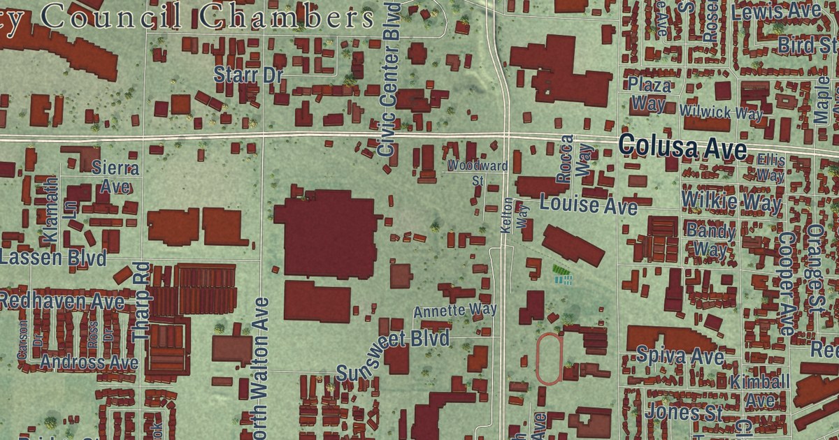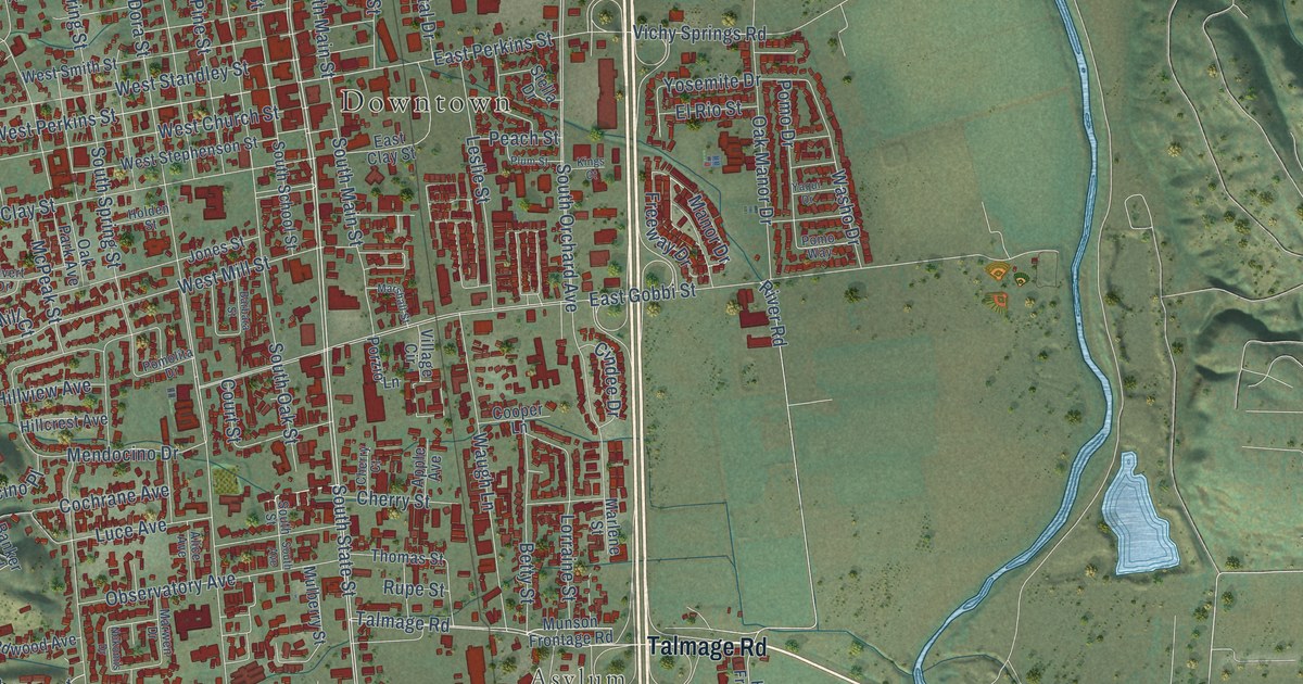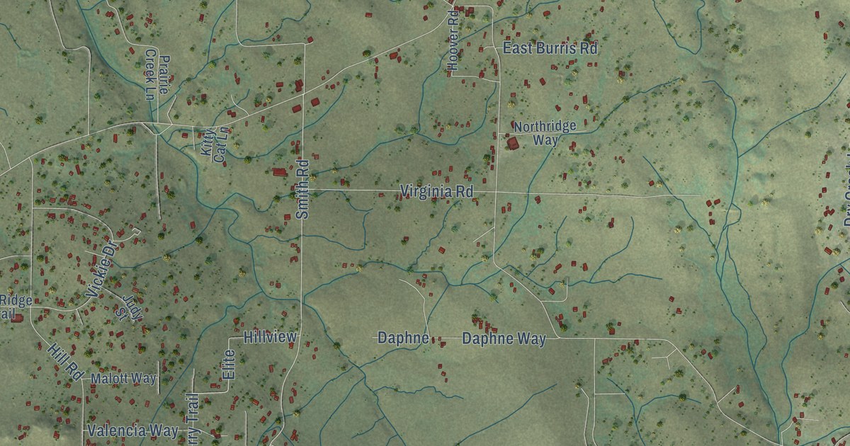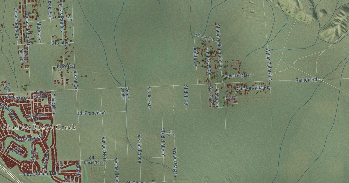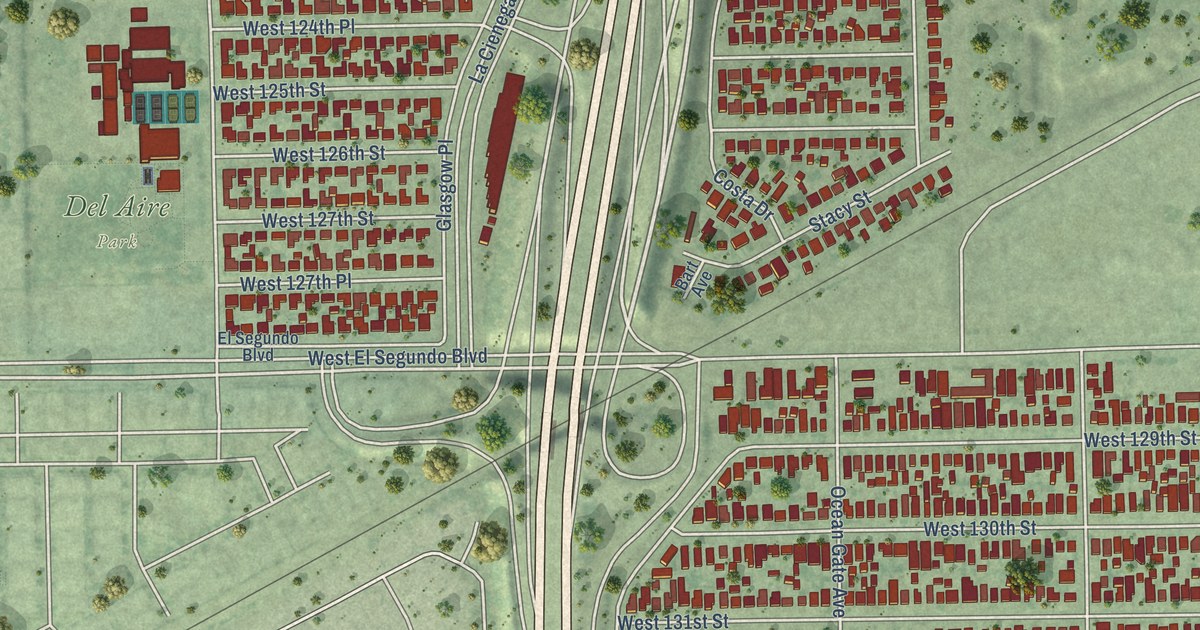
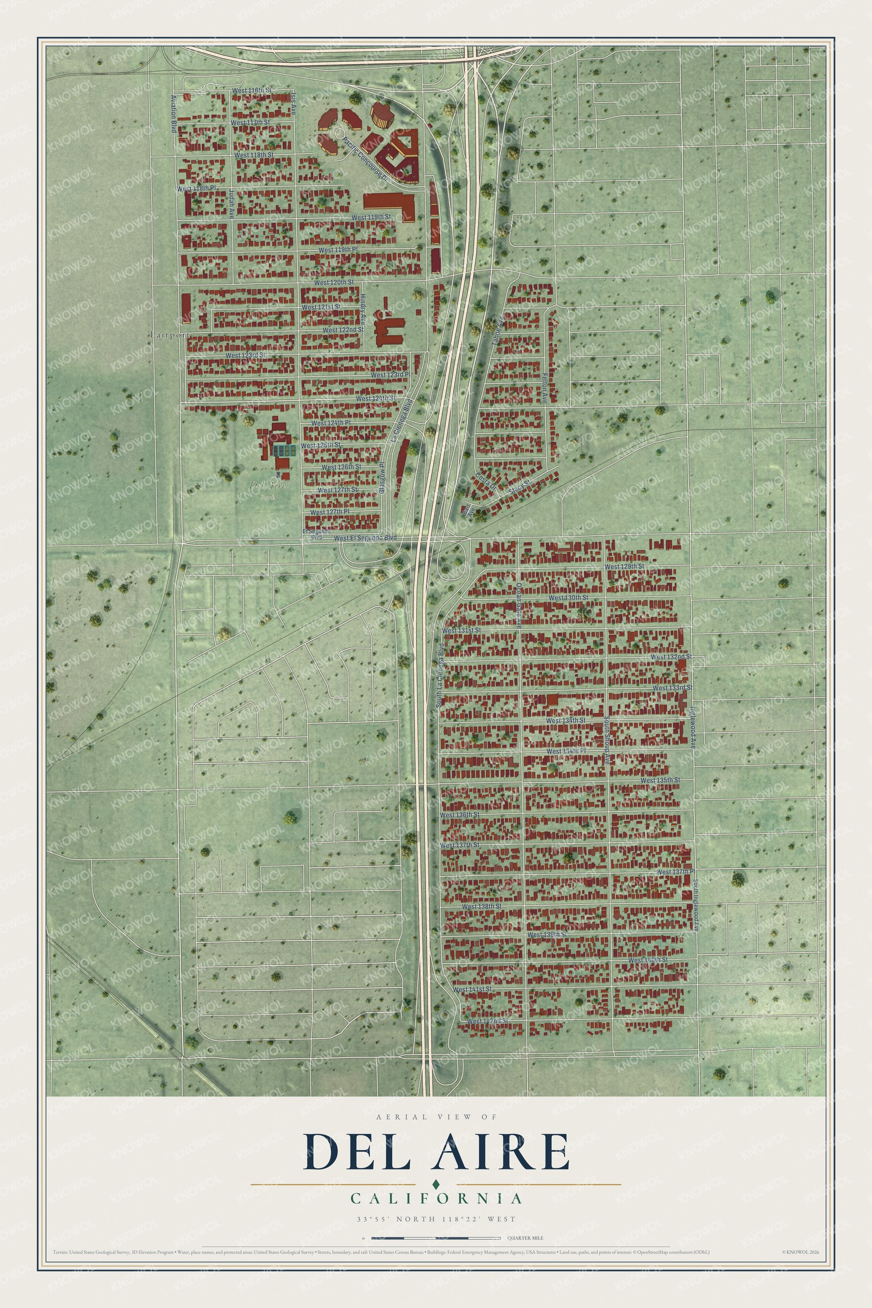
This beautifully detailed map of Del Aire, California was created in 2026 using aerial imagery combined with modern topographical, census, street and landmark data. It’s a one-of-a-kind view of Del Aire that combines accurate data with a vintage aesthetic. The map shows every building in its true location, many of the roads carry their names, and the shaded topographic relief shows the shape of the land.
Explore an aerial view of Del Aire, California
On the map you’ll find Del Aire Park and Lairport, along with West 124th Street, West El Segundo Boulevard, South La Cienega Boulevard, South Shoup Avenue, Ocean Gate Avenue, Isis Avenue, West 120th Street, Aviation Boulevard, West 123rd Street, La Cienega Boulevard, and more. If you look closely you can even find your house accurately drawn in its correct location. Zoom in on the preview to look for yours.
Did you know this piece of Del Aire, California history?
From the Los Angeles County Planning: "The Del Aire Improvement Association Inc. was established in the mid-1940s and worked toward community improvements including street safety, park construction, community advocacy, and school construction."
Take a closer look at the Del Aire map
Street and place names on the Del Aire, California map
These names are printed on the map of Del Aire, California.
Places: Del Aire Park and Lairport.
Streets and roads: West 124th Street, West El Segundo Boulevard, South La Cienega Boulevard, South Shoup Avenue, Ocean Gate Avenue, Isis Avenue, West 120th Street, Aviation Boulevard, West 123rd Street, La Cienega Boulevard, West 123rd Place, West 139th Street.
More street names, A to Z
Bart Avenue, Costa Drive, El Segundo Boulevard, Felton Avenue, Glasgow Place, Hindry Avenue, Inglewood Avenue, Judah Avenue, Pacific Concourse Drive, South Inglewood Avenue, Stacy Street, Tahoe Avenue, West 116th Street, West 117th Street, West 118th Place, West 118th Street, West 119th Place, West 119th Street, West 121st Street, West 122nd Street, West 124th Place, West 125th Street, West 126th Street, West 127th Place, West 127th Street, West 129th Street, West 130th Street, West 131st Street, West 132nd Street, West 133rd Street, West 134th Place, West 134th Street, West 135th Street, West 136th Street, West 137th Place, West 137th Street, West 138th Street, West 140th Street, West 141st Street, West 142nd Street.
See the Del Aire, California map on a wall
The Del Aire map as an 18 x 24 inch print in a black frame.

This beautifully detailed map of Del Aire makes an attractive addition to your office, library, or den, and it can even be used to teach children the geography and history of the area. It also makes a great gift for someone who left Del Aire and still calls it home. When you’re done exploring, click here to get your copy of the Del Aire map.