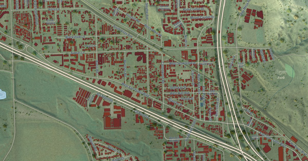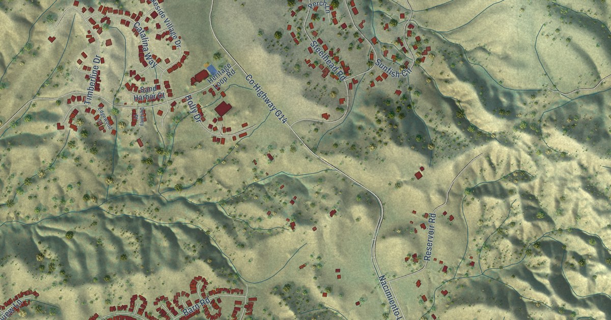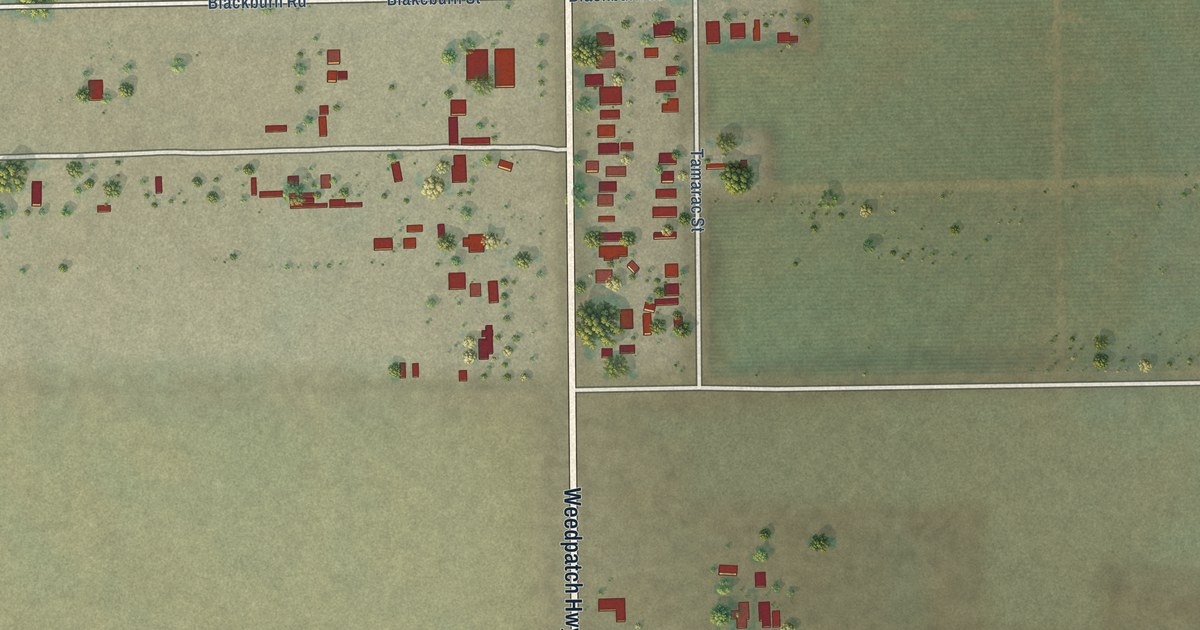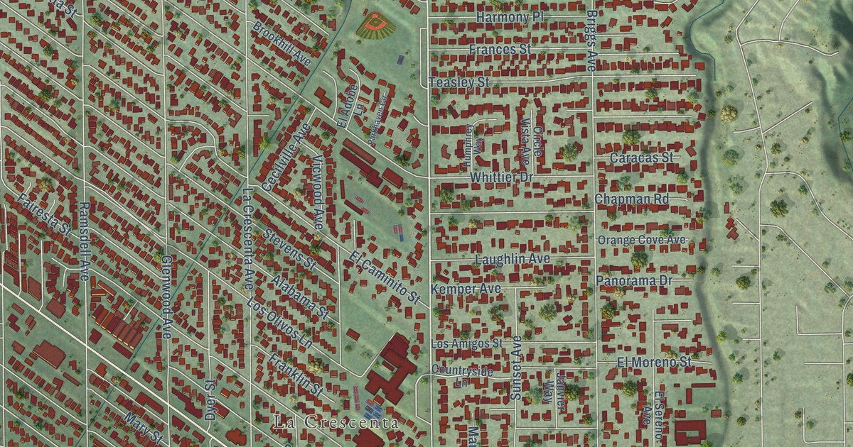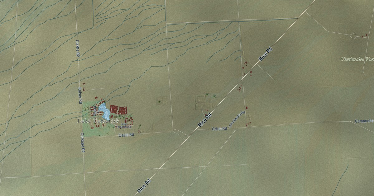
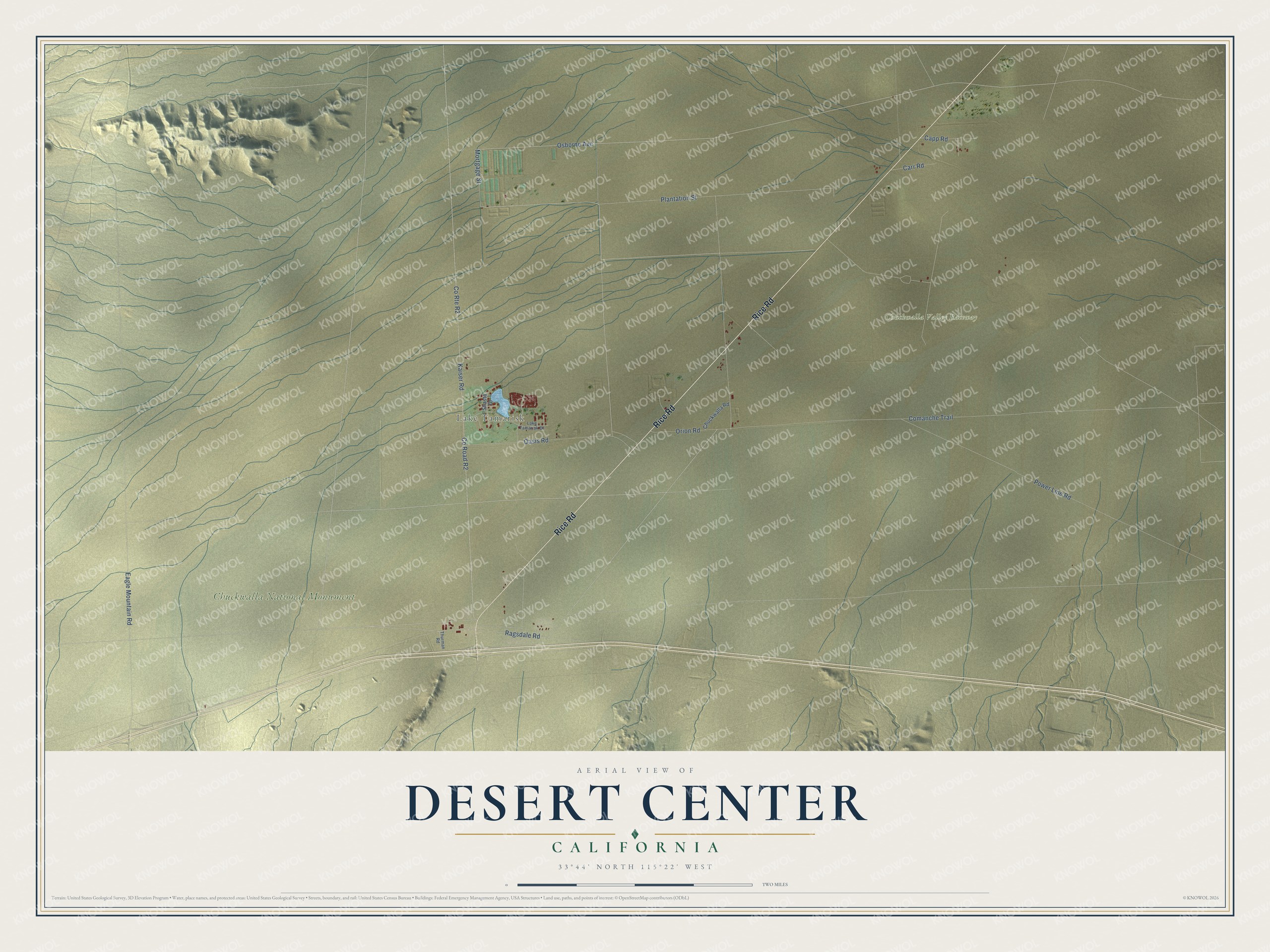
This beautifully detailed map of Desert Center, California was created in 2026 using aerial imagery combined with modern topographical, census, street and landmark data. It's a modern aerial view of Desert Center in Riverside County, California, that combines modern data with a vintage aesthetic. The roads feature printed names, and if you look closely you can find your exact house accurately shown in its correct location.
Explore an aerial view of Desert Center, California
On this map you'll find Lake Tamarisk, Chuckwalla National Monument, Chuckwalla Valley Raceway, Rice Road, Mortgage Street, Osborne Avenue, Capp Road, Ragsdale Road, Co Road R2, Kaiser Road, Comanche Trail, Plantation Street, and more. Each red shape is a building, so zoom in on the preview and look for yours.
Every town has a first chapter, and Desert Center is no exception. Stephen Ragsdale, known as Desert Steve, came to the center of the Chuckwalla Desert in 1921, 50 miles from the nearest neighbor, and founded the highway village of Desert Center. He personally bought, built and kept up four different schoolhouses for the children of the village. Before that he farmed cotton in the Palo Verde Valley, and in later years he wrote poems and a book called Philosophies and Sayings of Desert Steve. That's from the 1943 California biographical directory.
Desert Center is a community in Riverside County. The Census Bureau counted 256 people here in 2020.
Take a closer look at the Desert Center map
Names on this map
These names are printed on this map.
Places: Lake Tamarisk, Chuckwalla National Monument and Chuckwalla Valley Raceway.
Streets and roads: Rice Road, Mortgage Street, Osborne Avenue, Capp Road, Ragsdale Road, County Road R2, County Route R2, Kaiser Road, Comanche Trail, Plantation Street, Power Line Road, Oasis Road.
More street names, A to Z
Carr Road, Chuckwalla Road, Eagle Mountain Road, Lake Tamarisk Drive, Orion Road, Shasta Drive, Thurman Road.
See it on a wall
The Desert Center map as a framed print. Swipe for more.


Created by KNOWOL in 2026. The buildings are small red shapes, the roads carry their printed names, and shaded relief shows the shape of the land. The title panel reads "AERIAL VIEW OF DESERT CENTER, CALIFORNIA" with 33°44' NORTH 115°22' WEST.
Hang it in the hallway, the office or the cabin, or give it to someone who left Desert Center and still calls it home. Open the preview and look for a street you know. See sizes and frames for the Desert Center map.