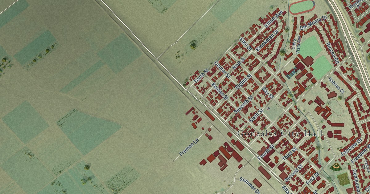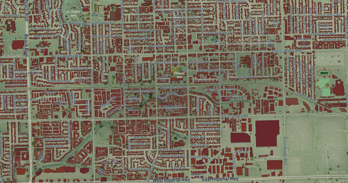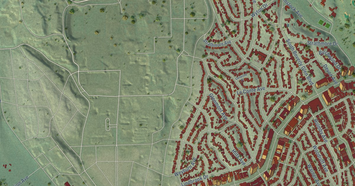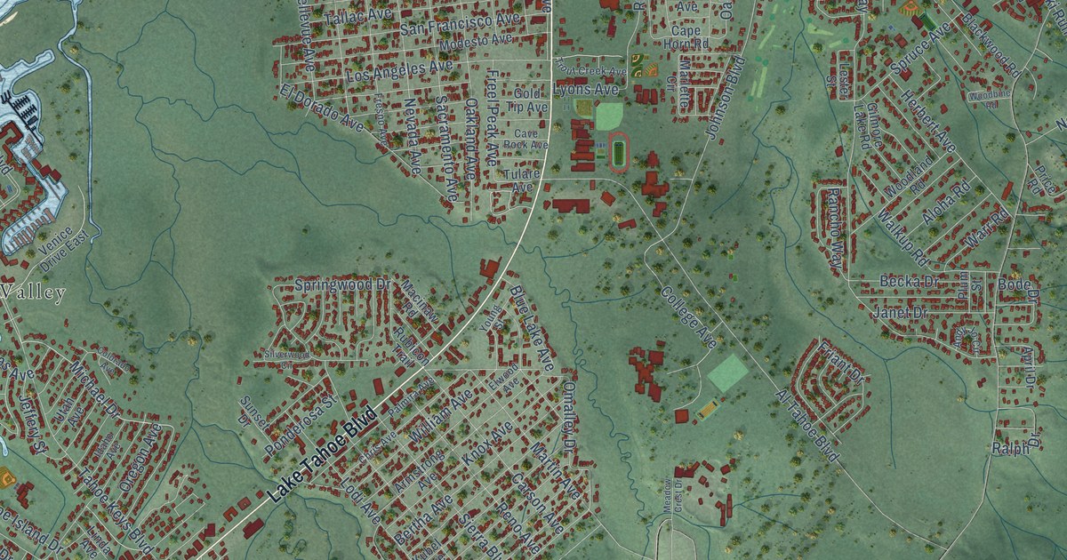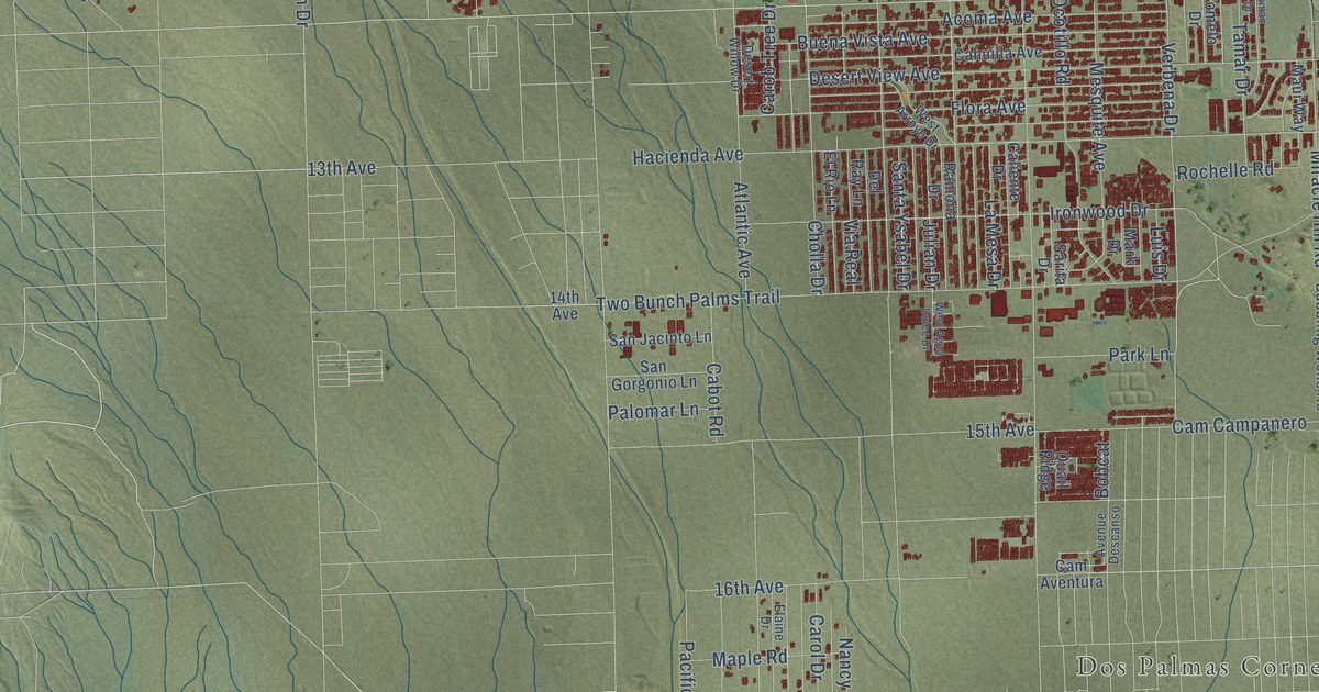
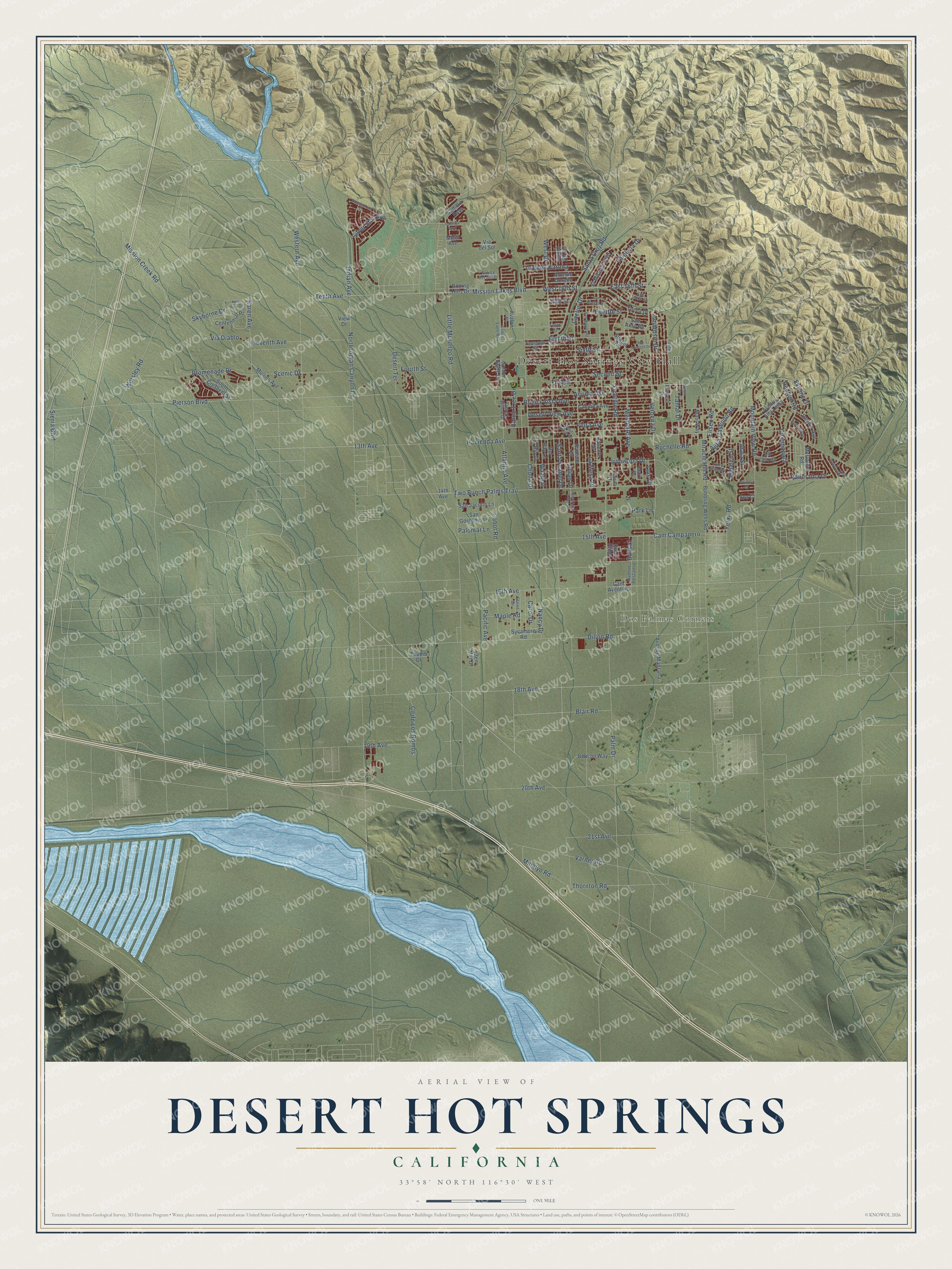
This beautifully detailed map of Desert Hot Springs, California was created in 2026 using aerial imagery combined with modern topographical, census, street and landmark data. It's a modern aerial view of Desert Hot Springs in Riverside County, California, that combines modern data with a vintage aesthetic. The roads feature printed names, and if you look closely you can find your exact house accurately shown in its correct location.
Explore an aerial view of Desert Hot Springs, California
On this map you'll find Desert Hot Springs City Hall, Dos Palmas Corners, Mission Lakes Boulevard, Indian Avenue, 18th Avenue, East 16th Street, Pierson Boulevard, Verbena Drive, Flora Avenue, Silver Star Avenue, 16th Avenue, Thornton Road, and more. Each red shape is a building, so zoom in on the preview and look for yours.
Every town has a first chapter, and Desert Hot Springs is no exception. The City of Desert Hot Springs puts it this way: "Cabot Yerxa came to this desert in 1913 as one of the very first homesteaders. He walked in during the night from the railroad with some food in a paper bag and a quart of water but he had no blanket."
Desert Hot Springs is a city in Riverside County. The Census Bureau counted 32,512 people here in 2020.
Take a closer look at the Desert Hot Springs map
Names on this map
These names are printed on this map.
Places: Desert Hot Springs City Hall and Dos Palmas Corners.
Streets and roads: Mission Lakes Boulevard, Indian Avenue, 18th Avenue, East 16th Street, Pierson Boulevard, Verbena Drive, Flora Avenue, Silver Star Avenue, 16th Avenue, Thornton Road, Palm Drive, Little Morongo Road.
More street names, A to Z
13th Avenue, 14th Avenue, 14th Street, 15th Avenue, 19th Avenue, 20th Avenue, 21st Avenue, Acoma Avenue, Agua Cayendo Road, Ambrosio Drive, Appalachian Street, Atlantic Avenue, Ava Court, Avalon Place, Avenue Alta Loma, Avenue Barona, Avenue Descanso, Avenue Dorado, Avenue Manzana, Beacon Way, Beech Avenue, Ben Mar Drive, Blair Road, Bobcat, Bubbling Wells Road, Buena Vista Avenue, Cabot Road, Cactus Drive, Cahuilla Avenue, Caliente Drive, Cam Aventura, Cam Campanero, Carob Tree Drive, Carol Drive, Centennial Place, Cholla Drive, Cll Amapola, Cll Cerrito, Cll del Diablo, Cll de Los Romos, Del Ray Lane, Deodar Avenue, Desert Terrace, Desert View Avenue, Desert Willow Drive, Dillon Road, Eighth Street, Elaine Drive, Eleventh Avenue, Eliseo Road, El Mirador Boulevard, El Rio Lane, First Street, Fourth Street, Foxdale Drive, Golden Eagle Lane, Golden Eagle Way, Hacienda Avenue, Hidalgo Street, Inaja Street, Ironwood Drive, Julian Drive, Karen Avenue, La Mesa Drive, Loma Vista Road, Luis Drive, Maple Road, Mark Drive, Maui Way, McGarger Road, Mesa Avenue, Mesquite Avenue, Mihalyo Road, Miracle Hill Road, Mission Creek Road, Mollies Avenue, Mountain View Road, Nancy Drive, New View Drive, North Indian Canyon Drive, Ocotillo Road, Overlook Drive, Pacifica Boulevard, Pacific Avenue, Palomar Lane, Panorama Drive, Park Lane, Pomelo Drive, Promenade Drive, Quail Ridge, Ramona Drive, Redbud Road, Rochelle Road, Rolling Hills Drive, Salida del Sol Place, San Ardo Road, San Felipe Road, San Gorgonio Lane, San Jacinto Lane, San Lorenzo Drive, San Marcus Road, San Miguel Road, Santa Cruz Road, Santa Ysabel Drive, Sarita Drive, Scenic Drive, Second Street, Seventh Street, Sierra Boulevard, Sixth Street, Skyborne Drive, Skyline Drive, South Crescent Street, Sumac Drive, Summit Pass, Sunset Avenue, Sycamore Road, Tamar Drive, Tenth Avenue, Tenth Street, Thumb Drive, Twelfth Street, Two Bunch Palms Trail, Valencia Drive, Varner Road, Via del Sol, Via Diablo, Via Real, View Drive, West 16th Street, West Agua Dulce Drive, West Arroyo Drive, West Drive, Western Avenue, Whitney Court, Worsley Road, Yerxa Road, Yucca Drive.
Created by KNOWOL in 2026. The buildings are small red shapes, the roads carry their printed names, and shaded relief shows the shape of the land. The title panel reads "AERIAL VIEW OF DESERT HOT SPRINGS CALIFORNIA" with 33°58' NORTH 116°30' WEST.
Hang it in the hallway, the office or the cabin, or give it to someone who left Desert Hot Springs and still calls it home. Open the preview and look for a street you know. See sizes and frames for the Desert Hot Springs map.