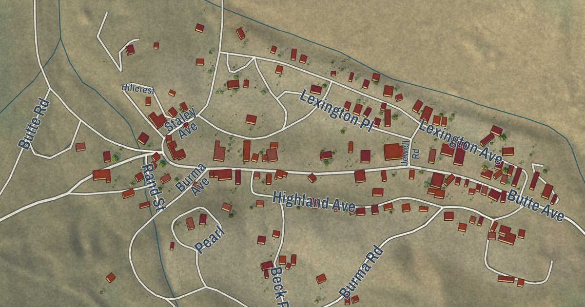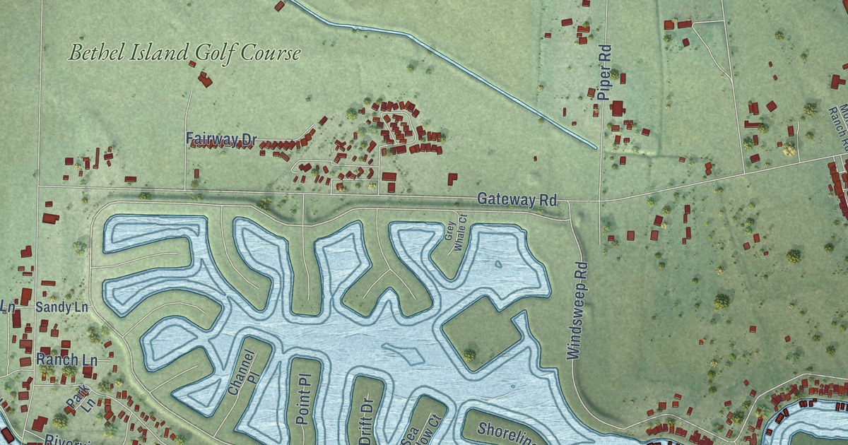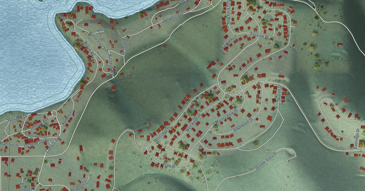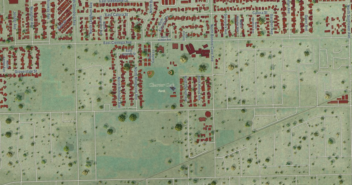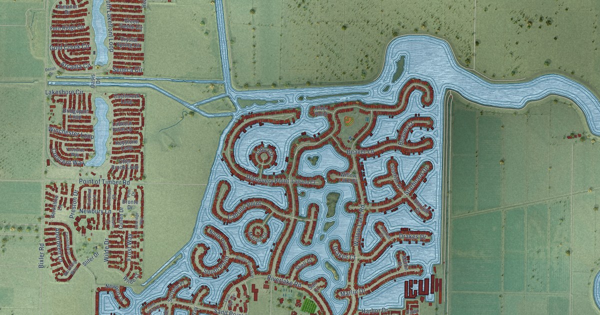
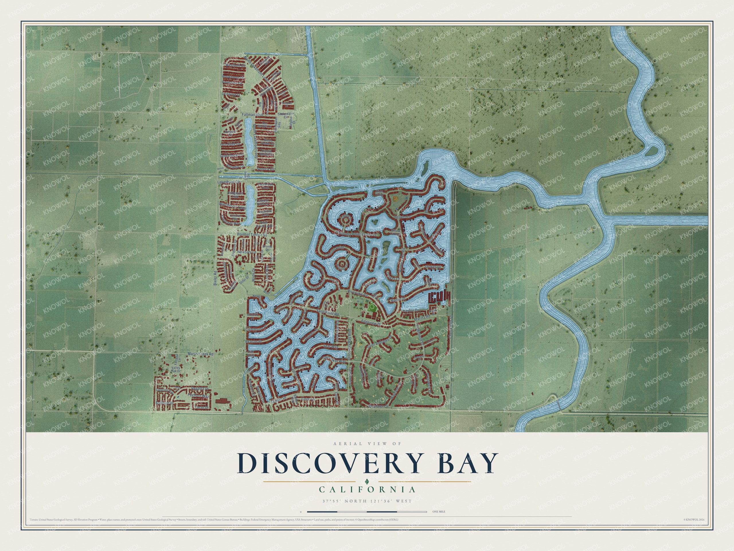
This beautifully detailed map of Discovery Bay, California was created in 2026 using aerial imagery combined with modern topographical, census, street and landmark data. It’s a one-of-a-kind view of Discovery Bay that combines accurate data with a vintage aesthetic. The map shows every building in its true location, many of the roads carry their names, and the shaded topographic relief shows the shape of the land.
Explore an aerial view of Discovery Bay, California
On the map you’ll find Wayfarer Court, Wayfarer Drive, Cherry Hills Drive, Willow Lake Road, Riverlake Road, Sand Point Road, Clubhouse Drive, North Lakefront Loop, South Lakefront Loop, Sailboat Drive, Aberdeen Lane, Edgeview Drive, and more. If you look closely you can even find your house accurately drawn in its correct location. Zoom in on the preview to look for yours.
Did you know this piece of Discovery Bay, California history?
From the East Contra Costa Historical Society: "The concept for the Discovery Bay Development and the first steps of the project began in 1964."
Take a closer look at the Discovery Bay map
Street names on the Discovery Bay, California map
These names are printed on the map of Discovery Bay, California.
Streets and roads: Wayfarer Court, Wayfarer Drive, Cherry Hills Drive, Willow Lake Road, Riverlake Road, Sand Point Road, Clubhouse Drive, North Lakefront Loop, South Lakefront Loop, Sailboat Drive, Aberdeen Lane, Edgeview Drive.
More street names, A to Z
Almanor Drive, Anchorage Way, Arcadia Circle, Balboa Way, Bay Harbor Way, Beacon Place, Beaver Court, Beaver Lane, Berkshire Lane, Bixler Road, Boca Raton Way, Bolinas Place, Bridgeport Loop, Bronte Drive, Brookhaven Circle, Cabrillo Point, Calypso Court, Cambridge Drive, Capstan Place, Cardinal Lane, Castlerock Loop, Catalina Way, Clipper Drive, Coleridge Way, Colonial Court, Cove Court, Cove Lane, Cove Place, Crescent Way, Crystal Spring Circle, Cullen Drive, Cypress Point, Davenport Circle, Denali Drive, Discovery Bay Boulevard, Discovery Point, Dolphin Place, Double Point Way, Drakes Court, Drakes Drive, Driftwood Court, Dune Point Way, Emerson Court, Fallman Boulevard, Fern Ridge Circle, Fertada Lane, Firwood Court, Foghorn Way, Freeport Court, Frost Way, Galley Court, Gateway Court, Gold Creek Circle, Green Castle Circle, Hampton Court, Harbor Drive, Harbor Haven Way, Headwater Way, Keats Court, Keyesport Way, Keystone Loop, Laguna Court, Lakehead Way, Lakeshore Circle, Lido Circle, Lighthouse Place, Livingston Court, Lookout Point Lp, Marina Circle, Marina Road, Marlin Drive, Marlin Place, Marsh Creek Road, Monterey Court, Newbury Lane, New Melones Circle, Newport Court, Newport Drive, Newport Lane, North Point, Oakmont Court, Oasis Drive, Oroville Court, Otter Brook Loop, Pier Point, Pinehollow Circle, Pinehurst Court, Poe Drive, Point of Timber Road, Preston Drive, Prestwick Drive, Pyramid Way, Rainbow Court, Reef Court, Regatta Drive, River Point, Sail Court, Saint Andrews Court, Saint Andrews Drive, Sand Bay Isle, Sand Point Court, Seal Way, Seneca Circle, Shearwater Circle, Shell Court, Slifer Drive, South Point, Spinnaker Way, Starboard Drive, Starfish Court, Starfish Place, Sunfish Court, Surfside Court, Surfside Place, Tahoe Court, Valley Oak Drive, Westport Circle, Wilde Court, Wilde Drive, Willow Lake Court, Winchester Loop, Windward Point, Worthing Way, Yacht Drive, Yawl Street, Yosemite Way.
See the Discovery Bay, California map on a wall
The Discovery Bay map as an 18 x 24 inch print in a black frame.

This beautifully detailed map of Discovery Bay makes an attractive addition to your office, library, or den, and it can even be used to teach children the geography and history of the area. It also makes a great gift for someone who left Discovery Bay and still calls it home. When you’re done exploring, click here to get your copy of the Discovery Bay map.