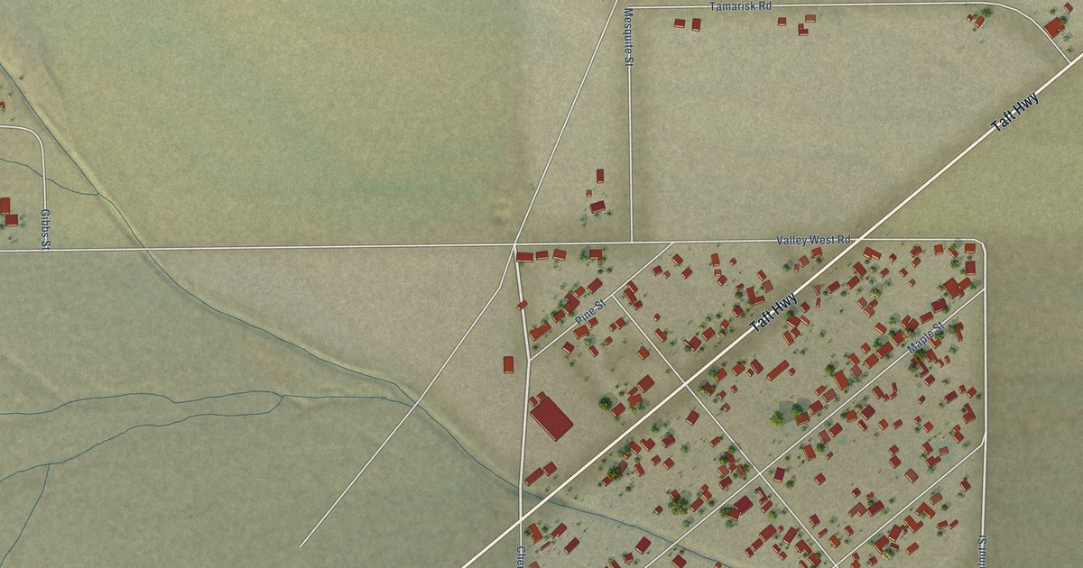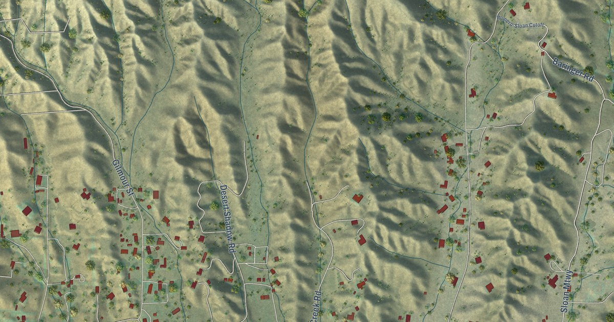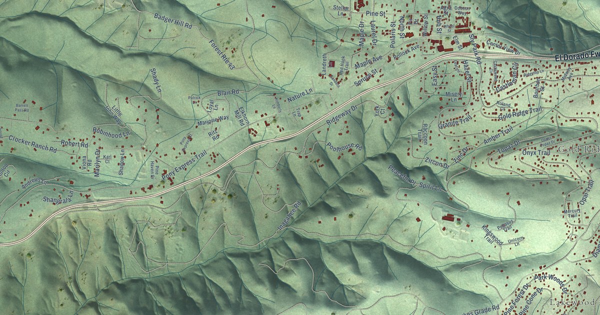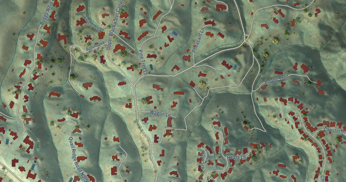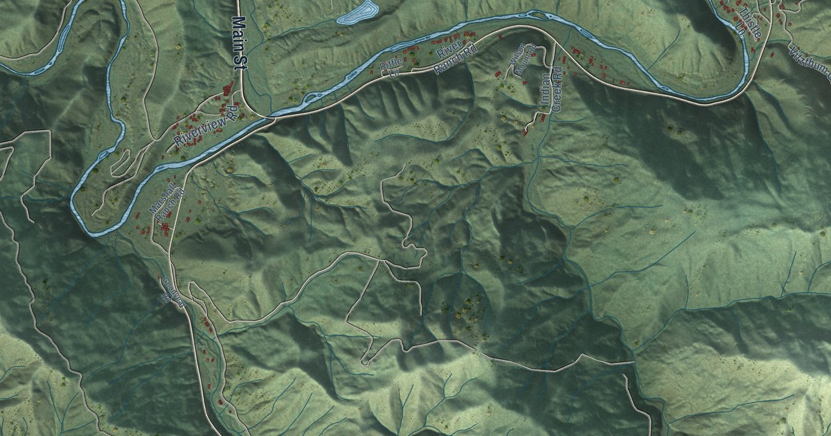
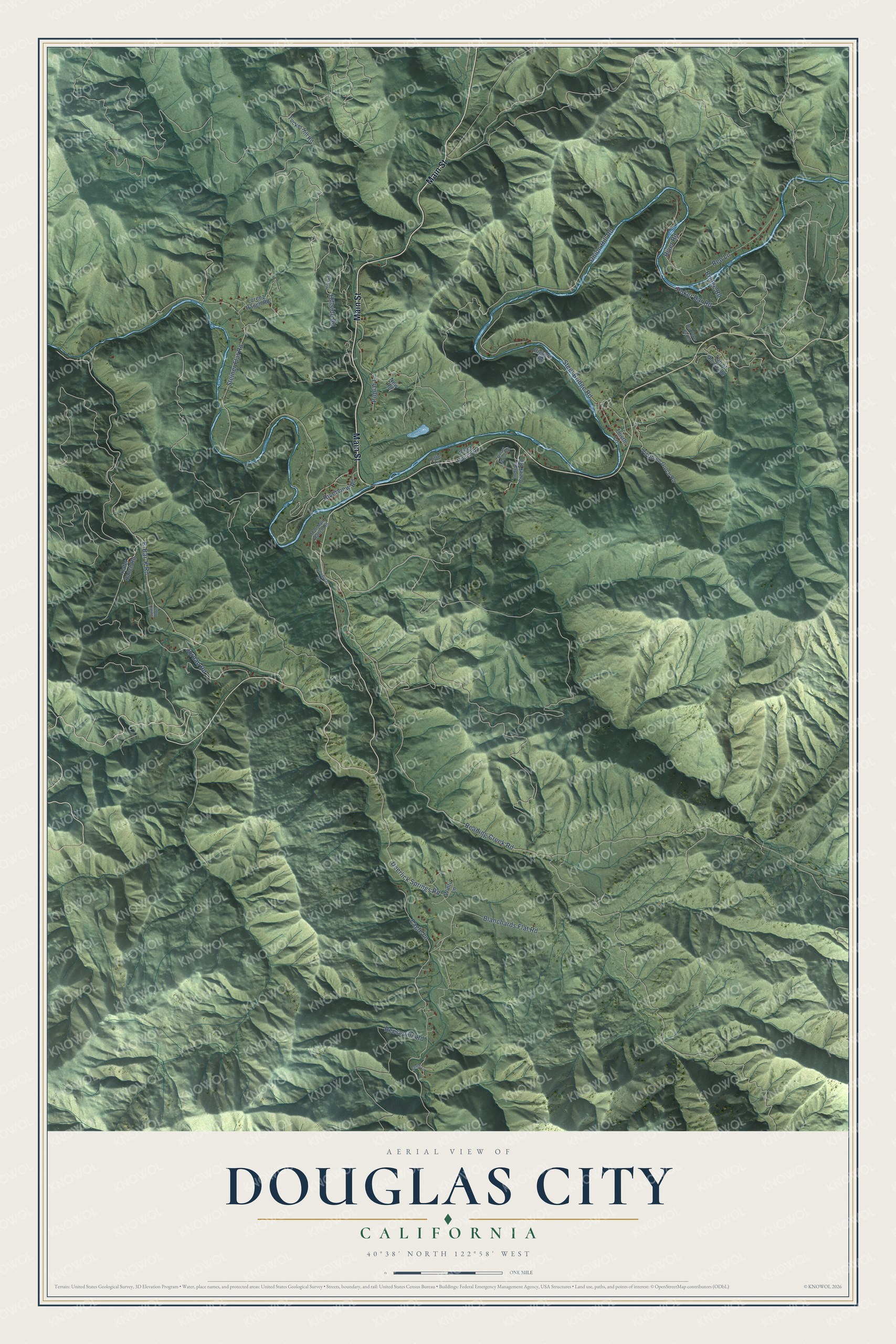
This beautifully detailed map of Douglas City, California was created in 2026 using aerial imagery combined with modern topographical, census, street and landmark data. It's a modern aerial view of Douglas City in Trinity County, California, that combines modern data with a vintage aesthetic. The roads feature printed names, and if you look closely you can find your exact house accurately shown in its correct location.
Explore an aerial view of Douglas City, California
On this map you'll find Main Street, B-Bar-K Road, Union Hill Road, Reading Creek Road, Steiner Flat Road, Deerlick Springs Road, Poker Bar Road, Steel Bridge Road, Blanchards Flat Road, Jordan Road, Reo Lane, Eagle Lane, and more. Each red shape is a building, so zoom in on the preview and look for yours.
Douglas City has a story worth telling. Douglas City lies beside the Trinity River near the mouth of Reading's Creek, where Pierson B. Reading made the first discovery of gold in Trinity County in the summer of 1848. Reading had named the Trinity River himself on a trapping trip in 1845, believing it led into Trinidad Bay. In fact the Trinity swings north to join the Klamath River. That's from the 1939 WPA guide to California.
Douglas City is a community in Trinity County. The Census Bureau counted 868 people here in 2020.
Take a closer look at the Douglas City map
Names on this map
These names are printed on this map.
Streets and roads: Main Street, B-Bar-K Road, Union Hill Road, Reading Creek Road, Steiner Flat Road, Deerlick Springs Road, Poker Bar Road, Steel Bridge Road, Blanchards Flat Road, Jordan Road, Reo Lane, Eagle Lane.
More street names, A to Z
Biggers Road, Bridge Road, Goodyear Road, Hillside, Hillside Road, Indian Creek Road, Kafer Ranch Road, Lorenz Ranch Road, Marshall Ranch Road, New Road, Old Poker Bar Road, Poplar Lane, Quail Run, Reeseville Road, Riffle Lane, River Ranch Road, River Road, Riverview Road, Smith Lane, Thistle Lane, Top of the Grade, Tucker Hill Road, Vitzthum Gulch Road, Wilson Mount Road, Wintu Lane.
See it on a wall
The Douglas City map as a framed print. Swipe for more.


Created by KNOWOL in 2026. The buildings are small red shapes, the roads carry their printed names, and shaded relief shows the shape of the land. The title panel reads "AERIAL VIEW OF DOUGLAS CITY, CALIFORNIA" with 40°38' NORTH 122°58' WEST.
It looks right in a kitchen, an office or a den, and it's a gift for anyone who grew up in Douglas City or moved away. Open the preview and find your street. See sizes and frames for the Douglas City map.