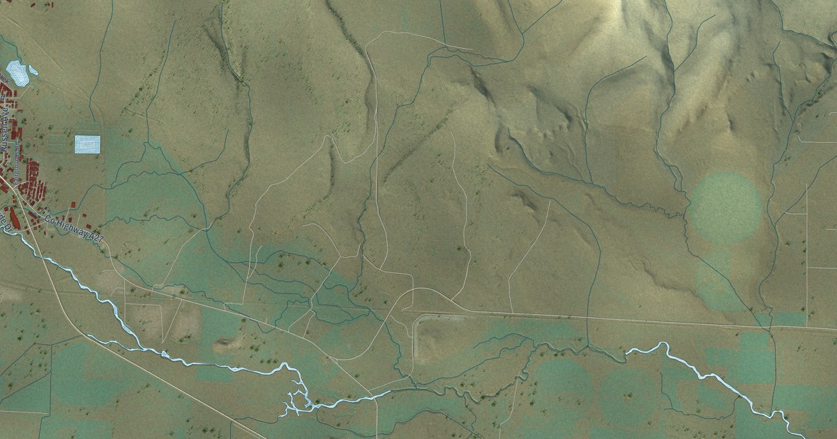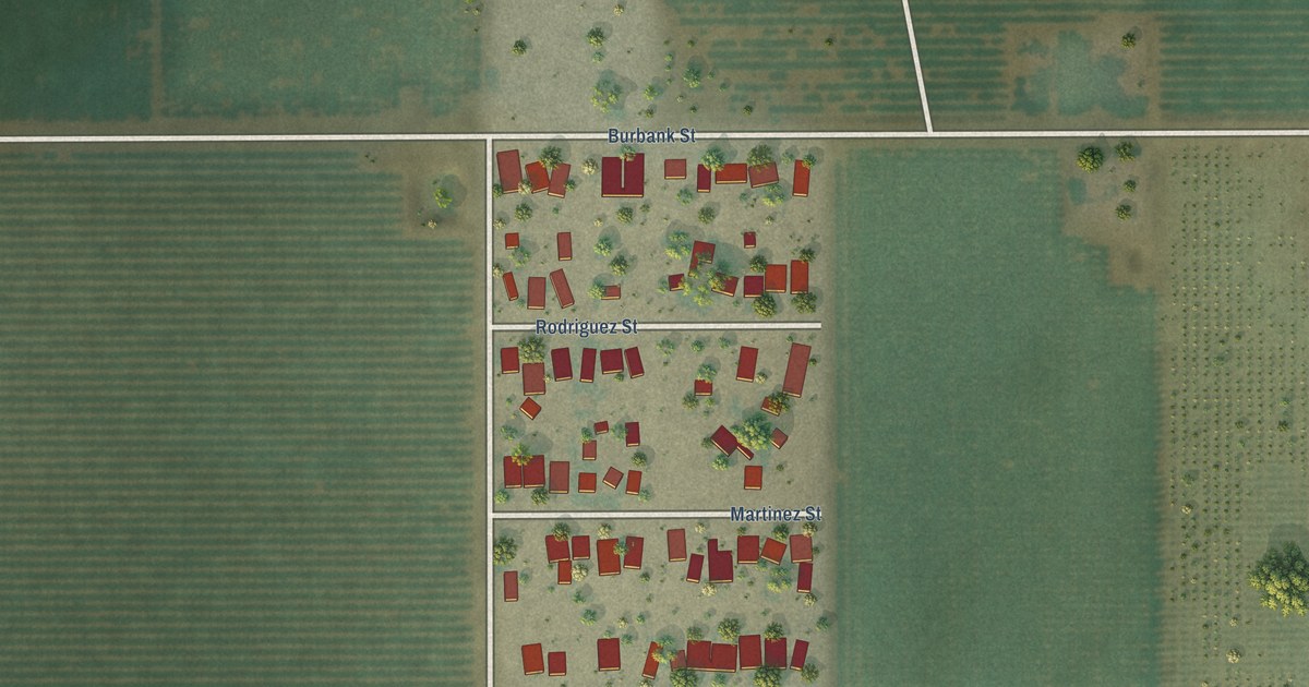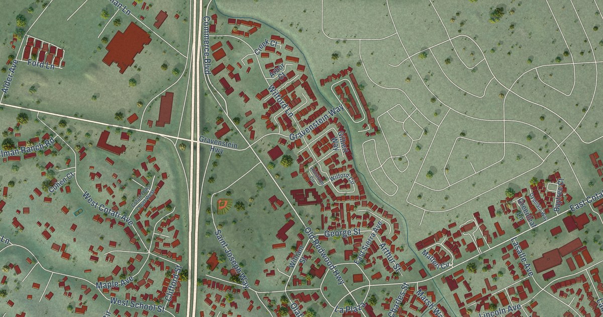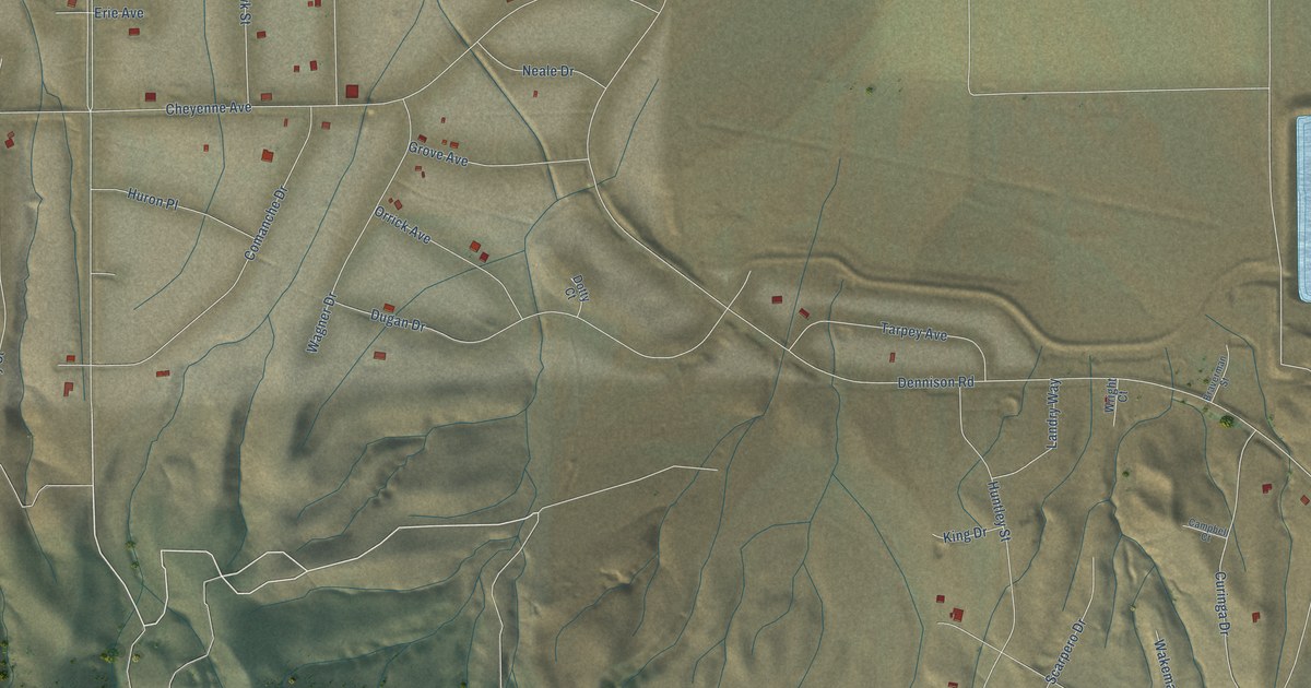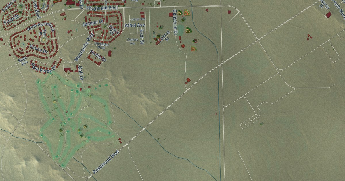
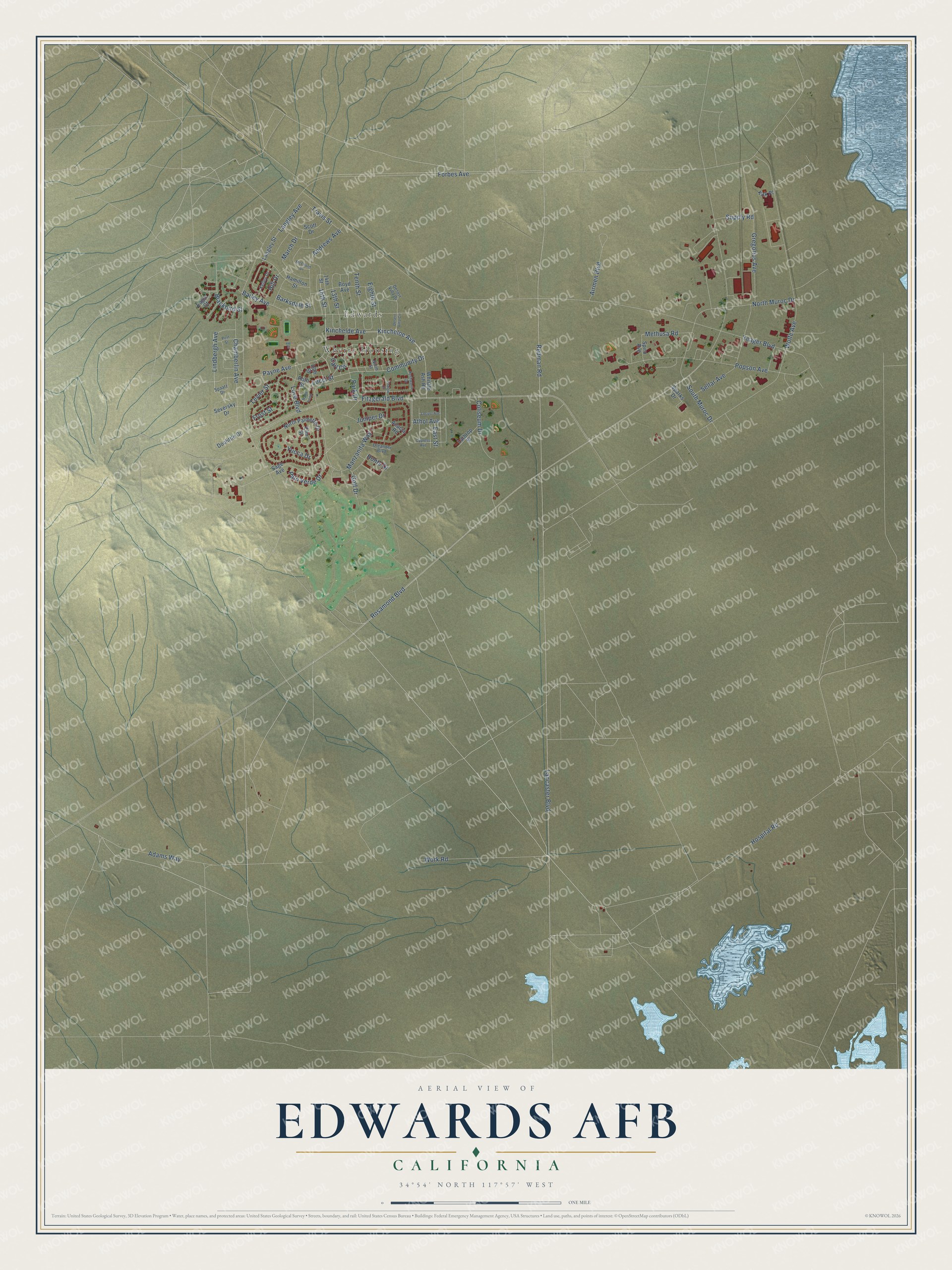
This beautifully detailed map of Edwards AFB, California was created in 2026 using aerial imagery combined with modern topographical, census, street and landmark data. It's a modern aerial view of Edwards AFB in Kern County, California, that combines modern data with a vintage aesthetic. The roads feature printed names, and if you look closely you can find your exact house accurately shown in its correct location.
Explore an aerial view of Edwards AFB, California
On this map you'll find Edwards, Wherry Housing, Community Drive, Golf Drive, Kincheloe Avenue, Payne Avenue, Lucci Street, Eighth Street, Hospital Road, Chamberlin Avenue, Manzanita Way, Kinchelde Avenue, and more. Each red shape is a building, so zoom in on the preview and look for yours.
Here is a piece of Edwards AFB history. Edwards Air Force Base was once Muroc Army Airfield. It was renamed in honor of Captain Glen W. Edwards, who was killed in June 1948 in the crash of a Northrop YB-49, an experimental flying wing bomber. The old name Muroc is Corum spelled backward. The Corum family, the first permanent settlers, came to the big dry lake in 1910 and asked for a post office named Corum, but California already had a Coram, so they reversed the letters. That's from the NASA History Series.
Edwards AFB is a community in Kern County. The Census Bureau counted 2,135 people here in 2020.
Take a closer look at the Edwards AFB map
Names on this map
These names are printed on this map.
Places: Edwards and Wherry Housing.
Streets and roads: Community Drive, Golf Drive, Kincheloe Avenue, Payne Avenue, Lucci Street, Eighth Street, Hospital Road, Chamberlin Avenue, Manzanita Way, Kinchelde Avenue, Wolfe Avenue, Yucca Drive.
More street names, A to Z
13th Street, 14th Street, 15th Street, 16th Street, Acacia Road, Adams Way, Airmen Boulevard, Andrews Avenue, Athol Avenue, Bailey Avenue, Barksdale Street, Blackbird Street, Boyd Avenue, Carl Circle, Coliseum Drive, Craigie Court, Cypress Avenue, Desert Villa Circle, Desert Villa Drive, Doolittle Drive, Eagle Court, East Street, Elm Street, Fitzgerald Boulevard, Forbes Avenue, Frost Street, Gregorius Avenue, Hamilton Street, Hill Drive, Honts Drive, Juniper Drive, Kelley Drive, Kirk Place, Lancaster Boulevard, Langley Avenue, Langley Street, Lathrop Street, Levier Street, Lindbergh Avenue, Locust Avenue, Love Boulevard, March Drive, McChord Drive, Methusa Road, Ninth Street, North Muroc Drive, North Palmetto Drive, Oleander Boulevard, Palo Verde Drive, Park Drive, Popson Avenue, Post Street, Rahn Loop, Redman Road, Rosamond Boulevard, Roth Street, Rushworth Drive, Sage Avenue, Scott Drive, Sellar Avenue, Seversky Drive, South Muroc Drive, Spaatz Drive, Sparks Drive, Spiro Avenue, Supply Road, Tenth Street, Travis Street, Whistle Ash Road, Work Road, Yeager Boulevard.
See it on a wall
The Edwards AFB map as a framed print. Swipe for more.


Created by KNOWOL in 2026. The buildings are small red shapes, the roads carry their printed names, and shaded relief shows the shape of the land. The title panel reads "AERIAL VIEW OF EDWARDS AFB, CALIFORNIA" with 34°54' NORTH 117°57' WEST.
It suits a den, a classroom or a front hall, and it makes a gift for anyone with Edwards AFB roots. Open the preview and find the block you know. See sizes and frames for the Edwards AFB map.