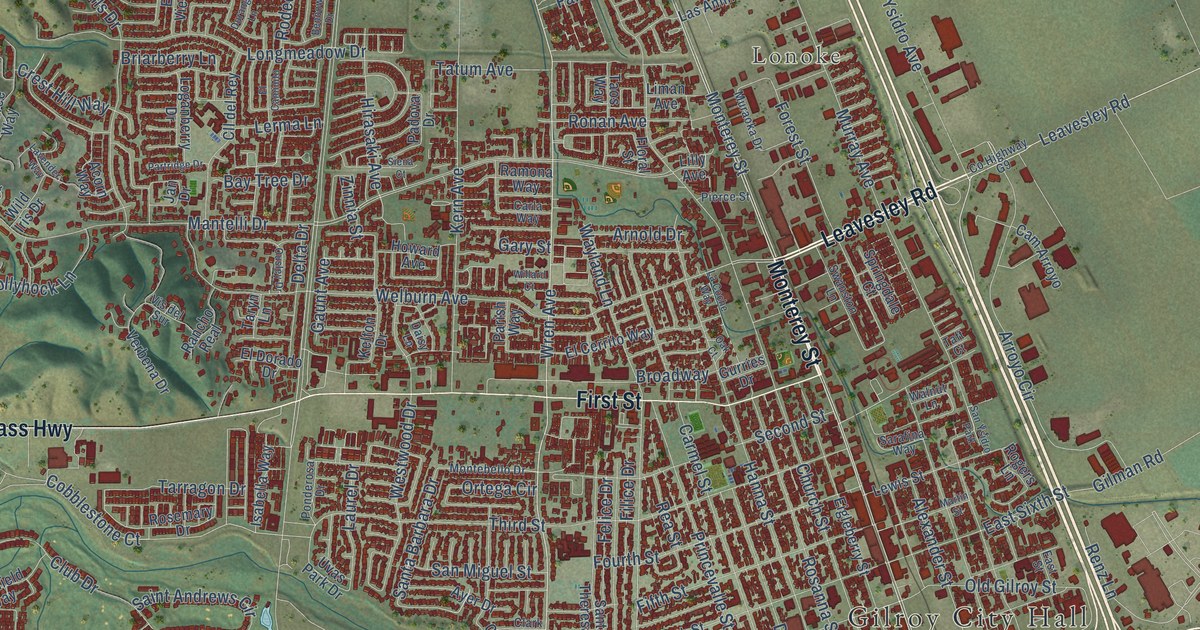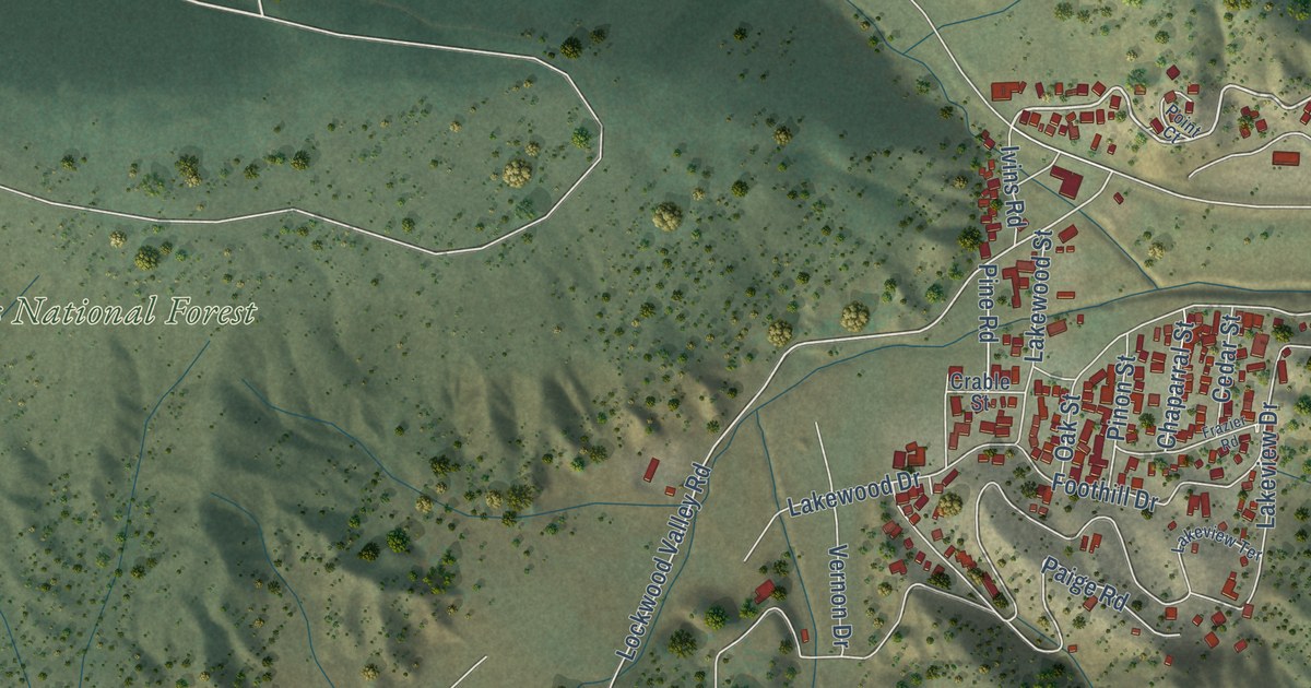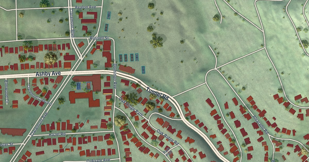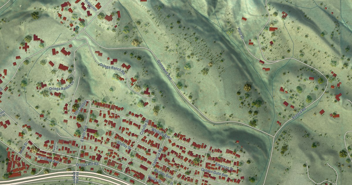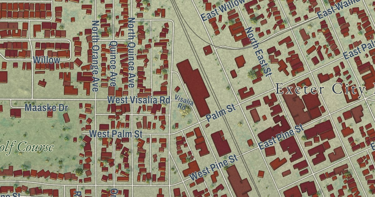
This beautifully detailed map of Exeter, California was created in 2026 using aerial imagery combined with modern topographical, census, street and landmark data. It’s a one-of-a-kind view of Exeter that combines accurate data with a vintage aesthetic. The map shows every building in its true location, many of the roads carry their names, and the shaded topographic relief shows the shape of the land.
Explore an aerial view of Exeter, California
On the map you’ll find Exeter City Hall, Dobson Field, Unger Park, and Exeter Golf Course, along with South Kaweah Avenue, Kaweah Avenue, North Kaweah Avenue, County Highway J20, County Road J20, Belmont Avenue, Fairway Drive, Belmont Road, and more. If you look closely you can even find your house accurately drawn in its correct location. Zoom in on the preview to look for yours.
Did you know this piece of Exeter, California history?
From the City of Exeter: "As was the case in many early railroad-sponsored towns, Exeter’s first streets were laid out parallel with and perpendicular to the railroad tracks in a grid pattern."
Take a closer look at the Exeter map
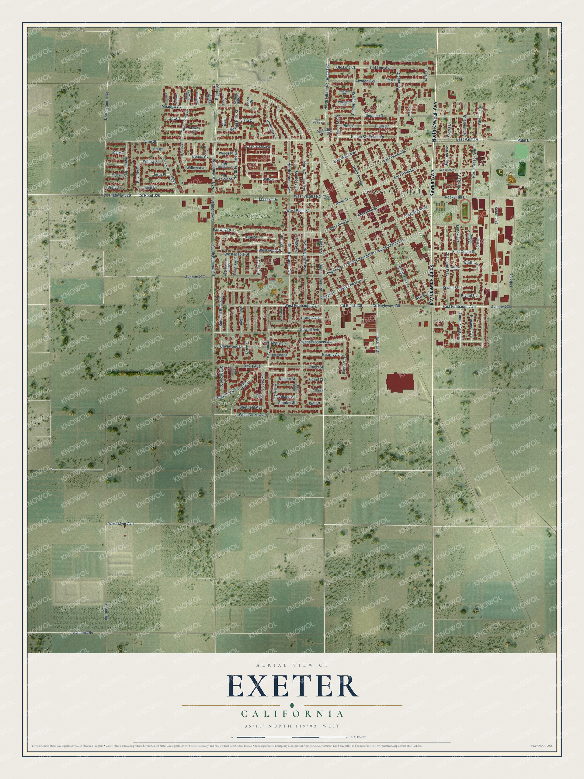
Street and place names on the Exeter, California map
These names are printed on the map of Exeter, California.
Places: Exeter City Hall, Dobson Field, Unger Park and Exeter Golf Course.
Streets and roads: North Kaweah Avenue, Kaweah Avenue, South Kaweah Avenue, Fairway Drive, Belmont Avenue, County Highway J20, County Road J20, Belmont Road, Pine Street, Industrial Drive, North Belmont Road, Westwood Drive.
More street names, A to Z
Acres Drive, Albert Avenue, Ash Street, Atwood Avenue, Atwood Court, Avenue 264, Avenue 276, Avenue 277, Betsy Place, Betty Street, Beverly Place, Birdsong Court, Blossom Court, Bradley Court, Bryant Court, Bryant Street, Cambridge Street, Carissa Court, Carolyn Court, Cedar Street, Channing Way, Chestnut Street, Citrus Avenue, Cosart Court, County Highway J30, County Road J30, Crane Avenue, Danae Court, Davis Avenue, Davis Street, Dolores Avenue, Dove Court, East Cedar Street, East Chestnut Street, East Firebaugh Avenue, East Maple Street, East Palm Drive, East Palm Street, East Pine Street, East Walnut Street, East Willow Street, Emperor Street, Filbert Street, First Street, Fisher Drive, Francis Avenue, Gearey Avenue, Glenn Avenue, Glenn View Court, Glenn View Drive, Hampton Court, Hannah Avenue, Jacob Place, Jacobs Place, Janet Drive, Jesse Drive, Joyce Place, Joy Court, Joyner Avenue, Katelyn Court, Kathleen Court, King Court, King Street, Lennox Avenue, Lenox Avenue, Lenox Road, Leta Mae Court, Lone Oak Court, Maaske Drive, Mary Court, Meadow Avenue, Miller Avenue, Monarch Circle, Moore Circle, Nelson Street, North Albert Avenue, North Crespi Avenue, North East Street, North Elberta Road, North Filbert Road, North Francis Avenue, North Orange Avenue, North Quince Avenue, Old Line Avenue, Old Line Court, Olivewood Drive, Orange Avenue, Orchard Street, Oxford Street, Palm Drive, Palm Street, Park Place Court, Park Place Drive, Patricia Avenue, Peach Drive, Peach Street, Plum Drive, Plum Street, Portola Avenue, Powell Avenue, Prospect Avenue, Quince Avenue, Richmond Court, Road 184, Road 188, Road 192, Rocky Hill Drive, Rolling Hills Court, Rolling Hills Street, Ruth Street, Saint James Court, Saint Thomas Court, San Juan Avenue, Second Street, Self Court, Sequoia Drive, Sheffield Avenue, Sherwood Street, Sierra Drive, South Belmont Road, South Crespi Avenue, South East Street, South Filbert Road, South Francis Avenue, South Orange Avenue, South Quince Avenue, Stanley Street, Sunnyview Court, Sycamore Drive, Third Street, Valencia Drive, Village Court, Village Street, Vine Street, Visalia Road, Vista Court, Waldo Avenue, West Cedar Street, West Chestnut Street, West Firebaugh Avenue, West Glaze Avenue, West Maple Street, West Myer Avenue, West Palm Street, West Pine Street, West Prospect Avenue, West Sequoia Court, West Visalia Road, West Walnut Street, West Willow Street, Whittier Court, Whittier Street, Willow, Willow Avenue, Willow Street, Windsor Court, Woods Avenue, Woods Place.
See the Exeter, California map on a wall
The Exeter map as an 18 x 24 inch print in a black frame.

This beautifully detailed map of Exeter makes an attractive addition to your office, library, or den, and it can even be used to teach children the geography and history of the area. It also makes a great gift for anyone who grew up in Exeter or moved away. When you’re done exploring, click here to get your copy of the Exeter map.