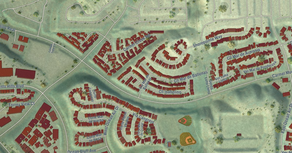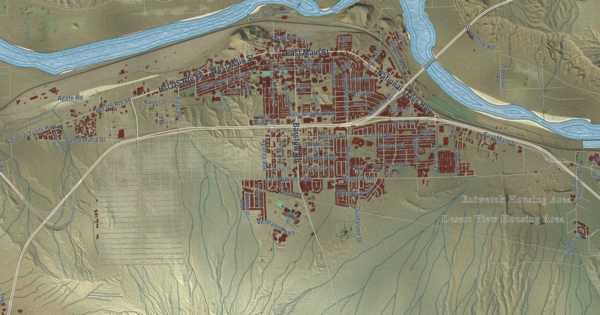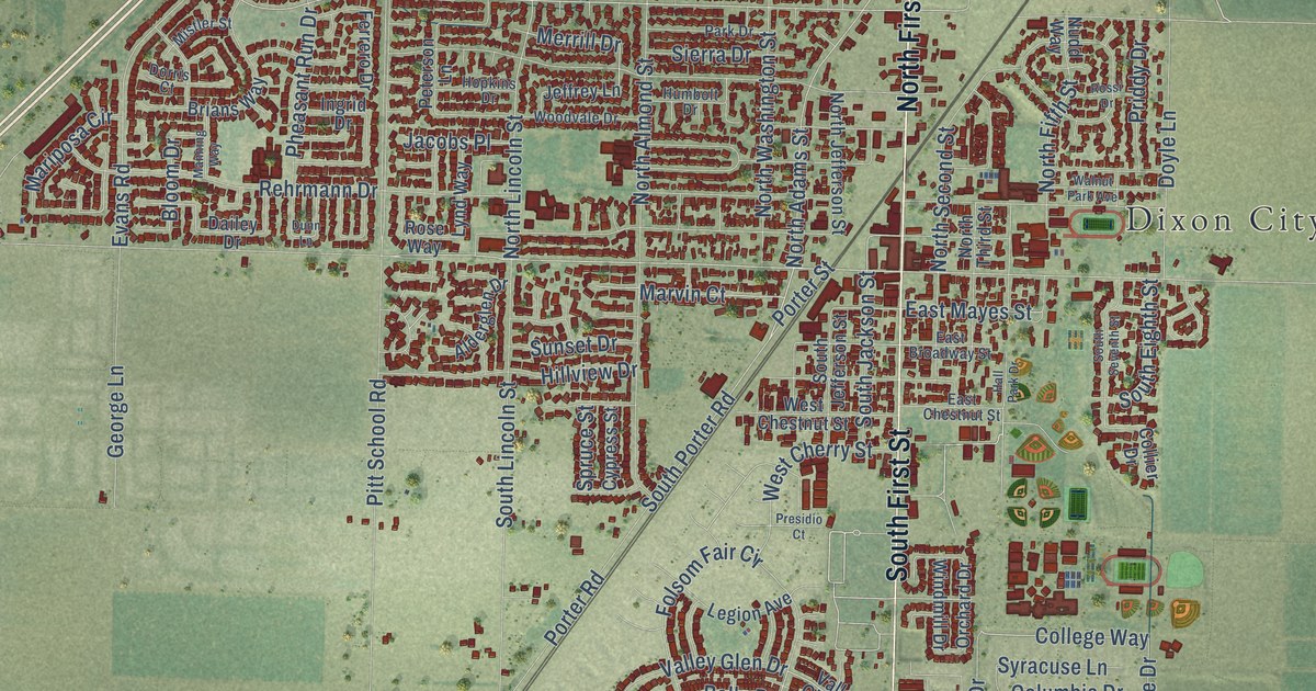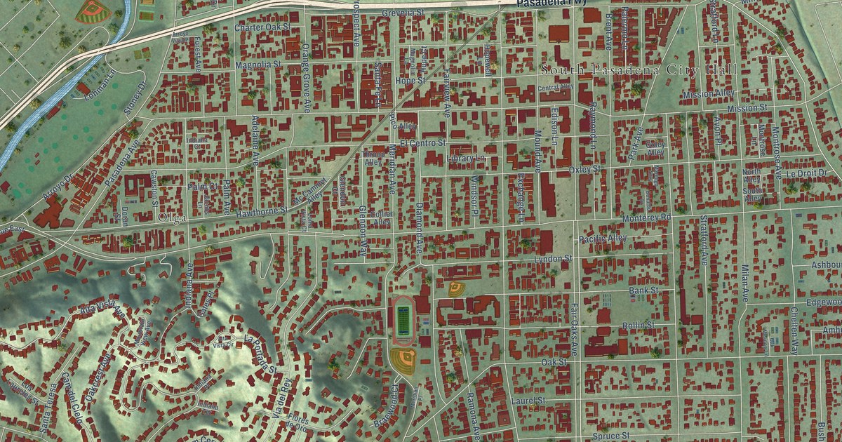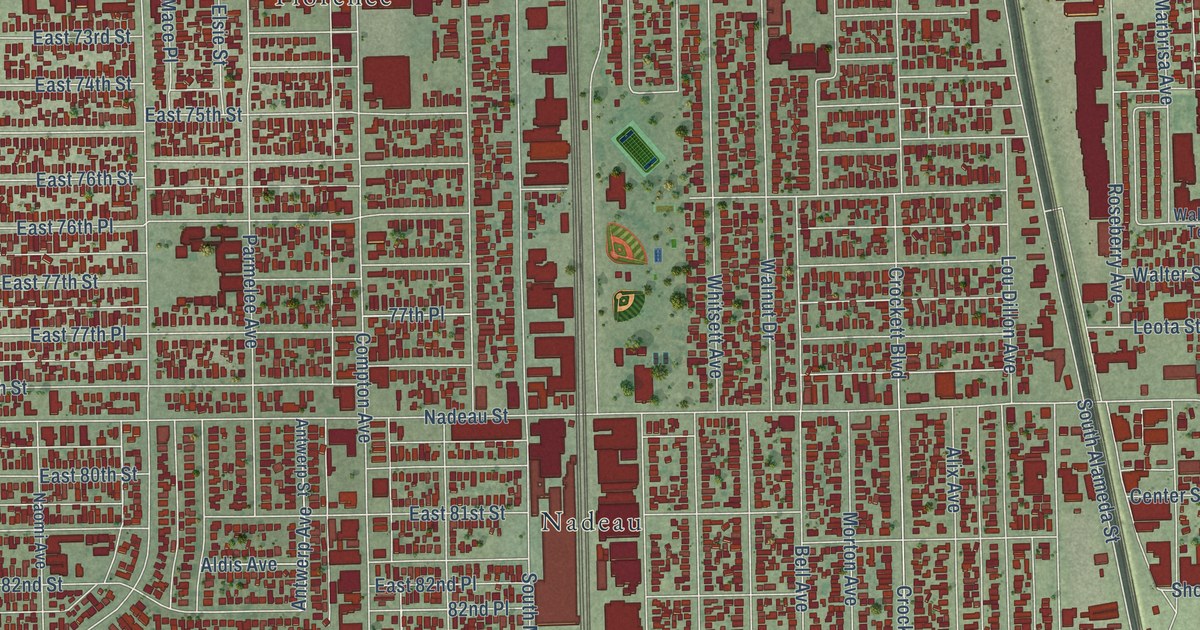
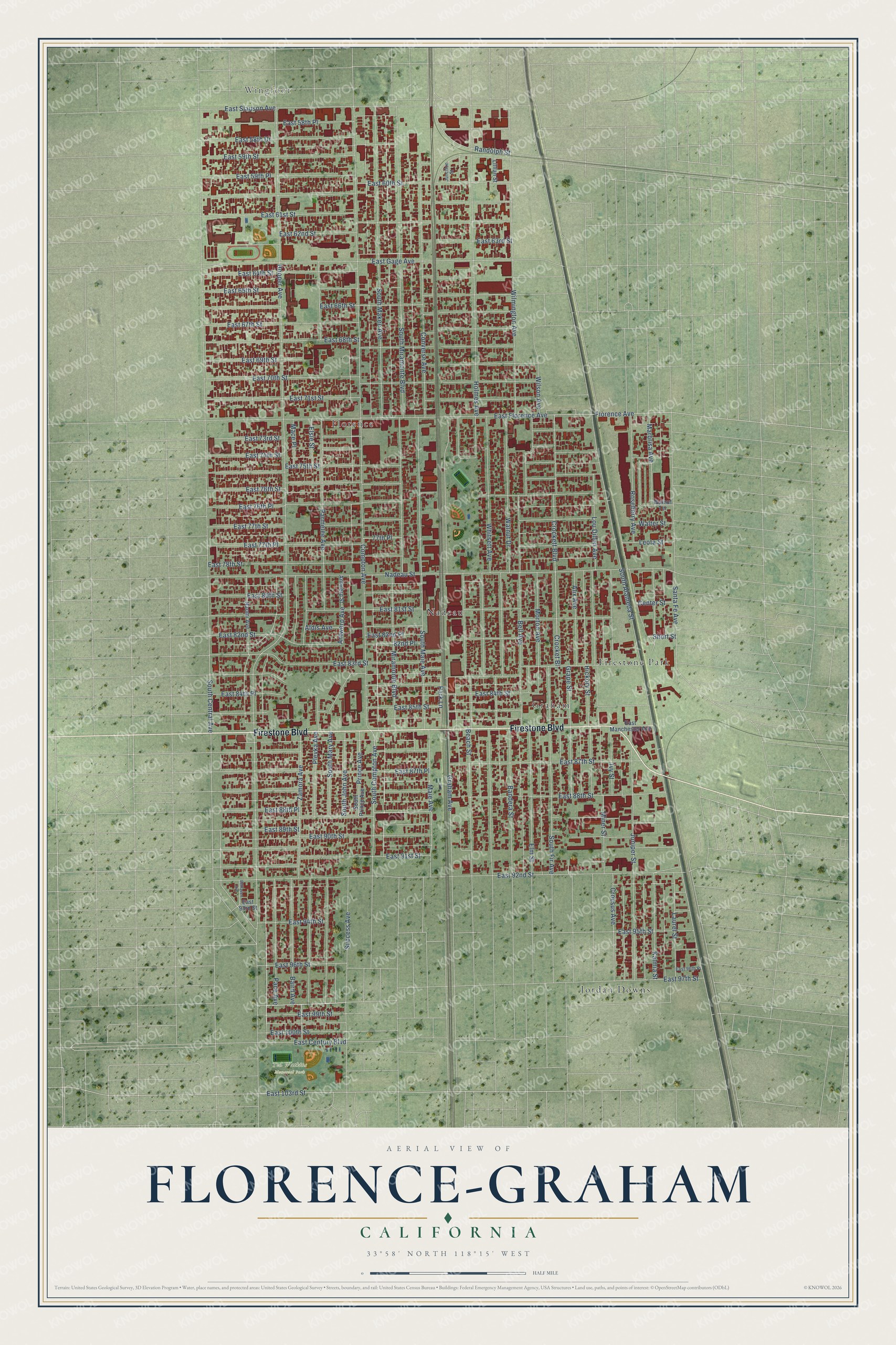
This beautifully detailed map of Florence-Graham, California was created in 2026 using aerial imagery combined with modern topographical, census, street and landmark data. It's a modern aerial view of Florence-Graham in Los Angeles County, California, that combines modern data with a vintage aesthetic. The roads feature printed names, and if you look closely you can find your exact house accurately shown in its correct location.
Explore an aerial view of Florence-Graham, California
On this map you'll find Wingfoot, Ted Watkins Memorial Park, Firestone Park, Florence, Graham, Jordan Downs, Nadeau, Firestone Boulevard, Maie Avenue, East 89th Street, East 103rd Street, South Compton Avenue, and more. Each red shape is a building, so zoom in on the preview and look for yours.
Florence-Graham is a community in Los Angeles County. The Census Bureau counted 61,983 people here in 2020. The map prints the town name in its title panel, with the coordinates below it.
Take a closer look at the Florence-Graham map
Names on this map
These names are printed on this map.
Places: Wingfoot, Ted Watkins Memorial Park, Firestone Park, Florence, Graham, Jordan Downs and Nadeau.
Streets and roads: Firestone Boulevard, Maie Avenue, East 89th Street, East 103rd Street, South Compton Avenue, Nadeau Street, Hooper Avenue, Compton Avenue, Holmes Avenue, South Alameda Street, South Central Avenue, South Miramonte Boulevard.
More street names, A to Z
77th Place, 82nd Place, Aldis Avenue, Alix Avenue, Antwerp Avenue, Antwerp Street, Baird Avenue, Bandera Street, Beach Street, Belhaven Avenue, Bell Avenue, Center Street, Converse Avenue, Crocket Bl, Crockett Boulevard, Croesus Avenue, East 58th Drive, East 58th Place, East 59th Place, East 59th Street, East 60th Street, East 61st Street, East 62nd Street, East 63rd Street, East 64th Street, East 65th Street, East 66th Street, East 67th Street, East 68th Street, East 69th Street, East 70th Street, East 71st Street, East 73rd Street, East 74th Street, East 75th Street, East 76th Place, East 76th Street, East 77th Place, East 77th Street, East 78th Street, East 80th Street, East 81st Street, East 82nd Place, East 82nd Street, East 83rd Street, East 84th Place, East 84th Street, East 85th Street, East 87th Place, East 87th Street, East 88th Place, East 88th Street, East 90th Street, East 91st Street, East 92nd Street, East 93rd Street, East 94th Street, East 95th Street, East 96th Place, East 96th Street, East 97th Street, East 99th Street, East 100th Street, East Century Boulevard, East Florence Avenue, East Gage Avenue, East Manchester Avenue, East Slauson Avenue, Elm Street, Elsie Street, Florence Avenue, Graham Avenue, Grape Street, Hickory Street, Ivy Street, Junction Street, Juniper Street, Kalmia Street, Laurel Street, Leota Street, Lillian Street, Lou Dillon Avenue, Mace Place, Marbrisa Avenue, Miner Street, Miramonte Boulevard, Morton Avenue, Naomi Avenue, Pace Avenue, Park Lane, Parmelee Avenue, Plevka Avenue, Prince Avenue, Randolph Street, Roseberry Avenue, Santa Fe Avenue, Short Street, South Fir Avenue, South John Avenue, South Maie Avenue, South Makee Avenue, South Mary Avenue, South Prince Avenue, Success Avenue, Walnut Drive, Walnut Terrace, Walter Street, Whitsett Avenue, Wilmington Avenue, Wilson Avenue, Zamora Avenue.
Created by KNOWOL in 2026. The buildings are small red shapes, the roads carry their printed names, and shaded relief shows the shape of the land. The title panel reads "AERIAL VIEW OF FLORENCE-GRAHAM CALIFORNIA" with 33°58' NORTH 118°15' WEST.
It suits a den, a classroom or a front hall, and it makes a gift for anyone with Florence-Graham roots. Open the preview and find the block you know. See sizes and frames for the Florence-Graham map.