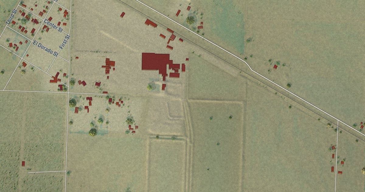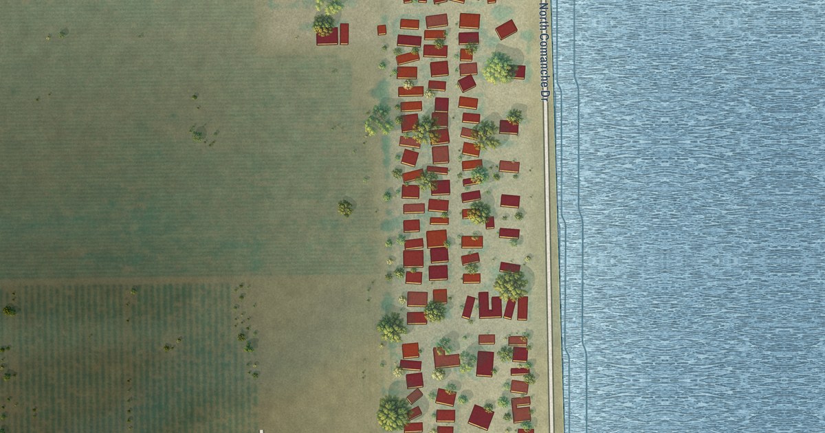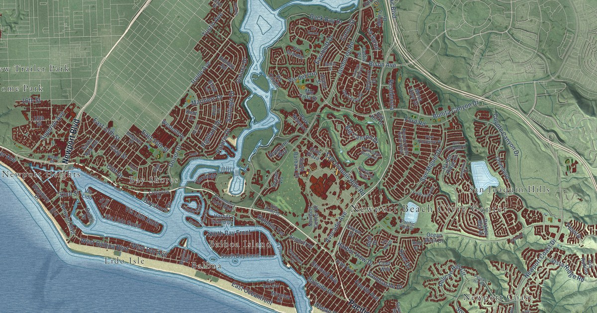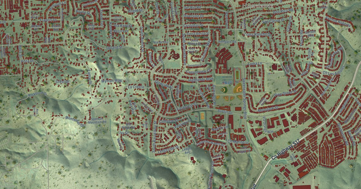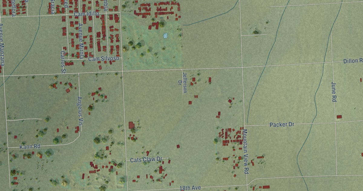
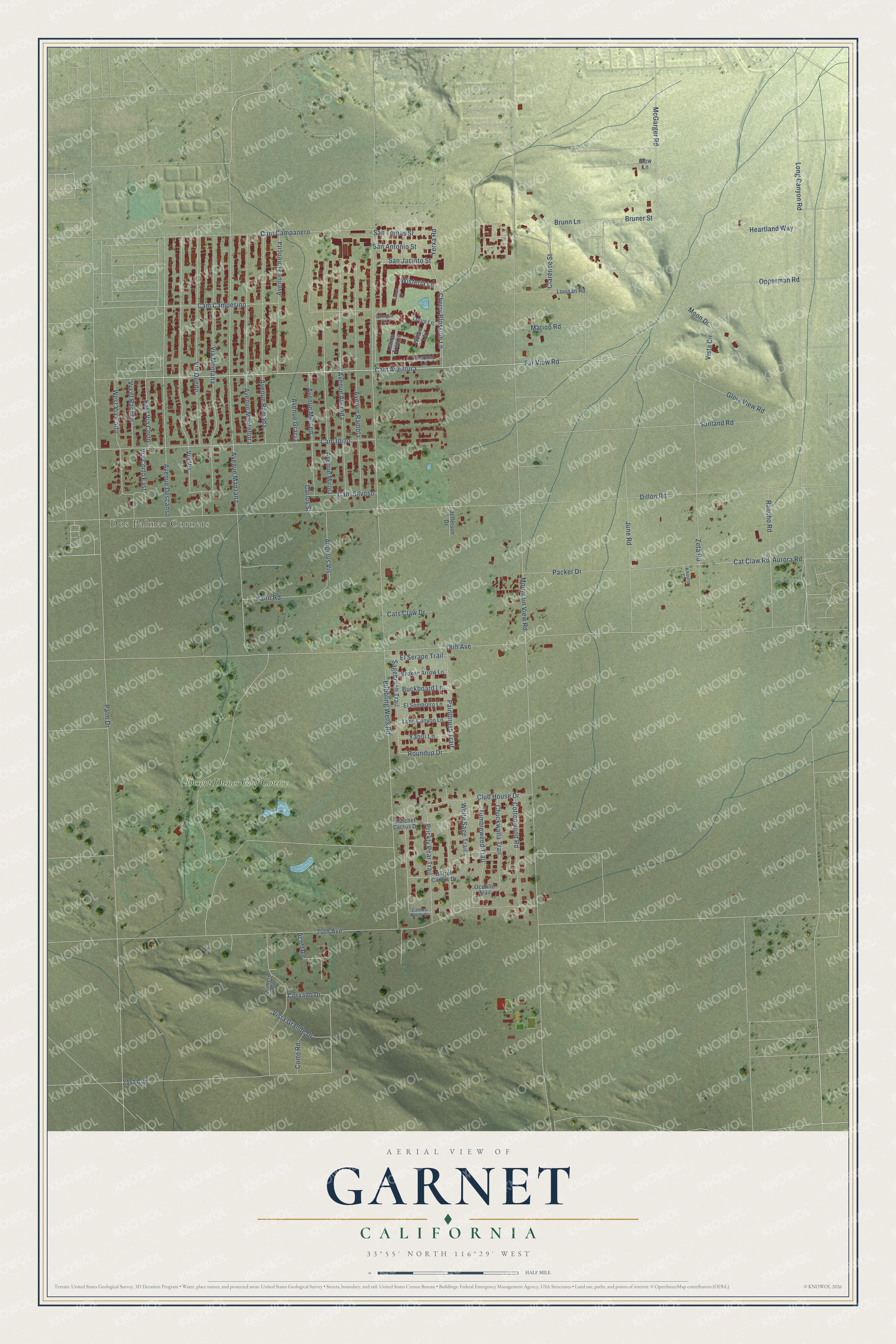
This beautifully detailed map of Garnet, California was created in 2026 using aerial imagery combined with modern topographical, census, street and landmark data. It's a modern aerial view of Garnet in Riverside County, California, that combines modern data with a vintage aesthetic. The roads feature printed names, and if you look closely you can find your exact house accurately shown in its correct location.
Explore an aerial view of Garnet, California
On this map you'll find Dos Palmas Corners, Desert Dunes Golf Course, San Jacinto Street, Cam Aventura, Far View Road, Brunn Lane, Clarence Street, Bruner Street, Cat Claw Road, Cherry Blossom Lane, Roundup Drive, Wisteria Lane, and more. Each red shape is a building, so zoom in on the preview and look for yours.
Garnet is a community in Riverside County. The Census Bureau counted 7,118 people here in 2020. Garnet sits about 2 miles west of Desert Edge, 5 miles southeast of Desert Hot Springs and 6 miles north of Cathedral City. The map prints the town name in its title panel, with the coordinates below it.
Take a closer look at the Garnet map
Names on this map
These names are printed on this map.
Places: Dos Palmas Corners and Desert Dunes Golf Course.
Streets and roads: San Jacinto Street, Cam Aventura, Far View Road, Brunn Lane, Clarence Street, Bruner Street, Cat Claw Road, Cherry Blossom Lane, Roundup Drive, Wisteria Lane, Club House Drive, Mountain View Road.
More street names, A to Z
18th Avenue, 20th Avenue, 21st Avenue, Acoff Road, Almomd Lane, Angelus Vis, Aurora Road, Avenue Atezada, Avenue Descanso, Avenue Florencita, Avenue Gracia, Avenue Manzana, Avenue Merced, Avenue Mirola, Avenue Monteflora, Avenue Ramada, Avenue Rambla, Azalea Lane, Barrel Cactus Drive, Broken Arrow Lane, Bubbling Wells Road, Buckboard Lane, Cactus Apple Drive, Cam Campanero, Cam Campesino, Camelia Lane, Cam Idillo, Cam Silvoso, Carlos Street, Cats Claw Drive, Chuckwalla Trail, Clow Lane, Corto Road, Corvado Drive, Cottonwood Road, Dillon Road, East Via Corto, El Serape Trail, El Sombrero Lane, Glory View Road, Hatchet Cactus Drive, Heartland Way, Jefferson Drive, June Road, Kann Road, Khoury Court, Lemon Tree Lane, Long Canyon Lane, Long Canyon Road, Lotus Lane, Louisan Road, Marion Road, McGarger Road, Moon Drive, Ocotillo Trail, Opperman Road, Packer Drive, Paintbrush Trail, Palm Drive, Prickly Pear Trail, Primero Circle, Rancho Road, Sagebrush Trail, San Antonio Street, San Tomas Street, Sunland Road, Tumbleweed Trail, Via Corto East, Via el Rancho, Via Montana, Via Quedo, Via Vis, Vista Circle, Vista Grande Drive, West Via Corto, White Sage Trail, Willow Lane, Yaqui Lane, Yerxa Road, Zeta Road.
See it on a wall
The Garnet map as a framed print. Swipe for more.


Created by KNOWOL in 2026. The buildings are small red shapes, the roads carry their printed names, and shaded relief shows the shape of the land. The title panel reads "AERIAL VIEW OF GARNET, CALIFORNIA" with 33°55' NORTH 116°29' WEST.
It looks right in a kitchen, an office or a den, and it's a gift for anyone who grew up in Garnet or moved away. Open the preview and find your street. See sizes and frames for the Garnet map.