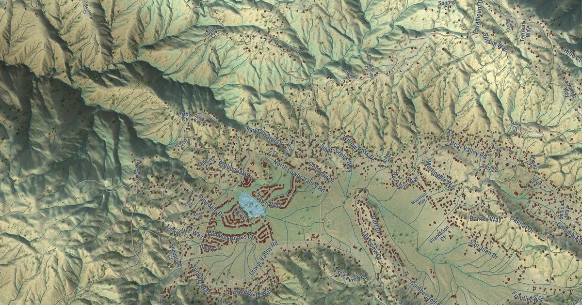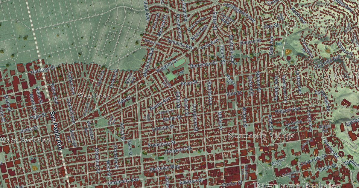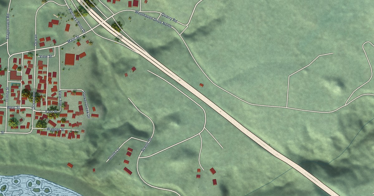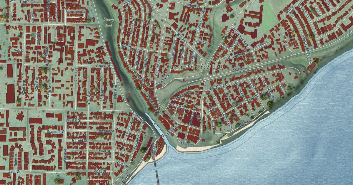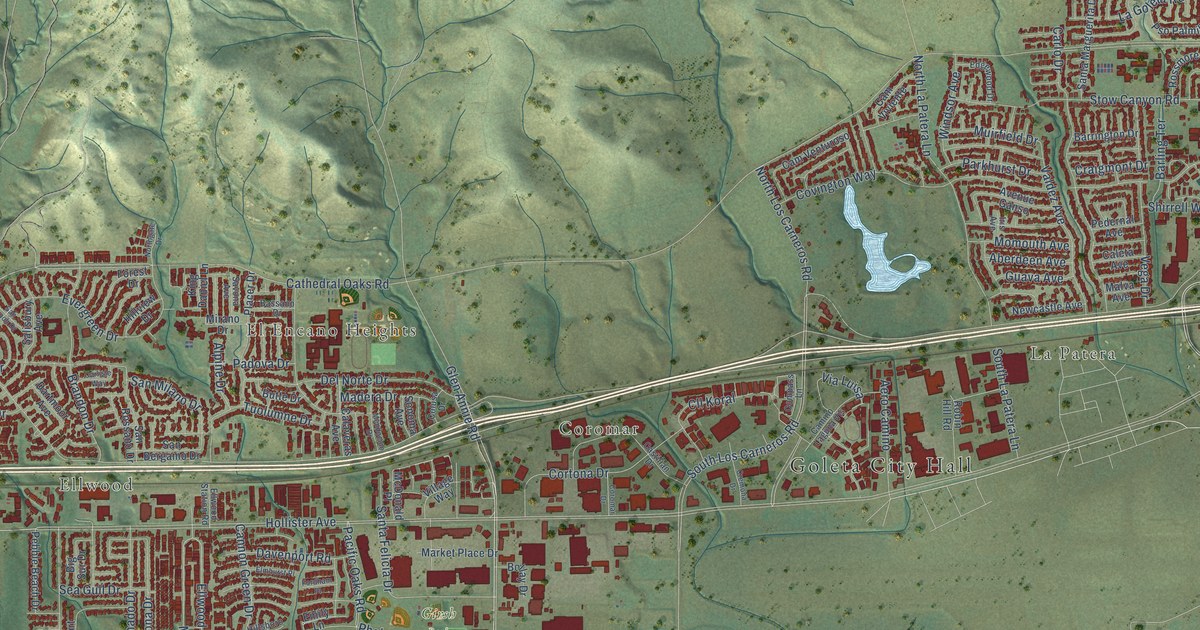
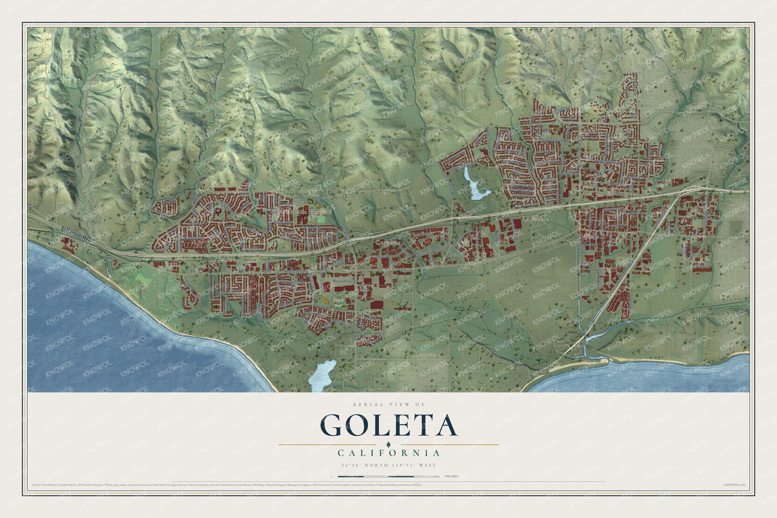
This beautifully detailed map of Goleta, California was created in 2026 using aerial imagery combined with modern topographical, census, street and landmark data. It's a modern aerial view of Goleta in Santa Barbara County, California, that combines modern data with a vintage aesthetic. The roads feature printed names, and if you look closely you can find your exact house accurately shown in its correct location.
Explore an aerial view of Goleta, California
On this map you'll find Goleta City Hall, La Patera, Ellwood, El Encano Heights, Coromar, Girsh Park, El Camino Real, North Fairview Avenue, Fairview Avenue, Hollister Avenue, Storke Road, Rio Vista Drive, and more. Each red shape is a building, so zoom in on the preview and look for yours.
Here is a piece of Goleta history, in the words of the record. The National Register of Historic Places puts it this way: "Historical background and significance:
The Stow House is one of the oldest wood-frame houses in Goleta."
Goleta is a city in Santa Barbara County. The Census Bureau counted 32,690 people here in 2020.
Take a closer look at the Goleta map
Names on this map
These names are printed on this map.
Places: Goleta City Hall, La Patera, Ellwood, El Encano Heights, Coromar and Girsh Park.
Streets and roads: El Camino Real, North Fairview Avenue, Fairview Avenue, Hollister Avenue, Storke Road, Rio Vista Drive, Cathedral Oaks Road, South Patterson Avenue, Mathilda Drive, Ellwood Beach Drive, Sweetwater Way, Cll Real.
More street names, A to Z
Aberdeen Avenue, Aero Camino, Alli Way, Alondra Drive, Alpine Drive, Armitos Avenue, Armstrong Road, Arundel Road, Avenue Ganso, Barling Terrace, Barrington Drive, Bassano Drive, Berkeley Road, Big Sur Drive, Bollay Drive, Bradford Drive, Brandon Drive, Butte Drive, Calaveras Avenue, Caleta Avenue, Cambridge Drive, Camino Laguna Vis, Cam Venturoso, Cam Viviente, Cannon Green Drive, Carlisle Way, Carlo Drive, Carson Street, Castilian Drive, Chapel Street, Cielo Avenue, Cll Koral, Colusa Drive, Compass Lane, Coromar Drive, Coronado Drive, Cortona Drive, Covington Way, Craigmont Drive, Cremona Drive, Daley Street, Dara Road, Dartmoor Avenue, Davenport Road, Day Drive, Daytona Drive, Dearborn Place, Del Norte Drive, Edgewood Drive, Ekwill Street, Elderberry Drive, Ellwood Ridge Road, Ellwood Station Road, Elmhurst Place, Emily Lane, Encina Lane, Encina Road, Evergreen Drive, Fordham Place, Forest Drive, Gato Avenue, Gaviota Street, Gerard Drive, Glen Annie Road, Guava Avenue, Hidden Lane, High Grove Avenue, Hillsboro Street, Hillview Drive, Huntington Drive, Iris Avenue, Island Oak Lane, Jenna Drive, Kestrel Lane, King Daniel Lane, Kingston Avenue, Kings Way, La Goleta Road, Langlo Ranch Road, Madera Drive, Magnolia Avenue, Mallard Avenue, Malva Avenue, Marbury Drive, Market Place Drive, Marymount Way, McDonald Place, Mendocino Drive, Mills Way, Mirano Drive, Momouth Avenue, More Road, Moreton Bay Lane, Muirfield Drive, Nectarine Avenue, Newcastle Avenue, Newport Drive, Northgate Drive, North Kellogg Avenue, North La Patera Lane, North Los Carneros Road, Olney Street, Orange Avenue, Overpass Road, Pacific Oaks Road, Padova Drive, Parkhurst Drive, Patterson Place, Pebble Beach Drive, Pedernal Avenue, Phelps Road, Pine Avenue, Placer Drive, Plaza del Centro, Pso Palmilla, Reed Court, Robin Hill Road, Rossmore Road, Rutherford Street, Saint Josephs Street, Salisbury Avenue, San Bergamo Drive, San Milano Drive, San Napoli Drive, San Rossano Drive, Santa Felicia Drive, Santa Marguerita Drive, Savona Avenue, Sea Gull Drive, Shadowbrook Drive, Shirrell Way, Somerset Drive, Sonoma Avenue, South Kellogg Avenue, South La Patera Lane, South Los Carneros Road, Stow Canyon Road, Surrey Place, Sylvan Drive, Thornwood Drive, Trudi Drive, Tuolumne Drive, Valdez Avenue, Vega Drive, Via Bolzano, Via Fiori, Viajero Drive, Via Luisa, Village Way, Wakefield Road, Ward Drive, Whittier Drive, Winchester Canyon Road, Winchester Circle, Windsor Avenue, York Place.
Created by KNOWOL in 2026. The buildings are small red shapes, the roads carry their printed names, and shaded relief shows the shape of the land. The title panel reads "AERIAL VIEW OF GOLETA CALIFORNIA" with 34°26' NORTH 119°51' WEST.
It suits a den, a classroom or a front hall, and it makes a gift for anyone with Goleta roots. Open the preview and find the block you know. See sizes and frames for the Goleta map.