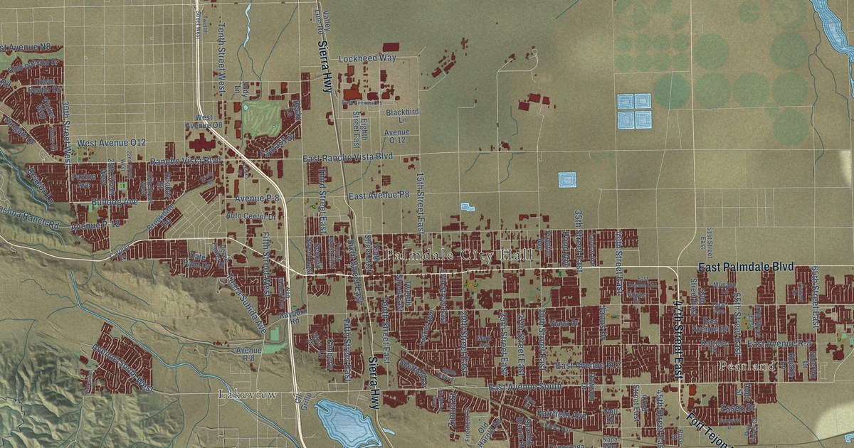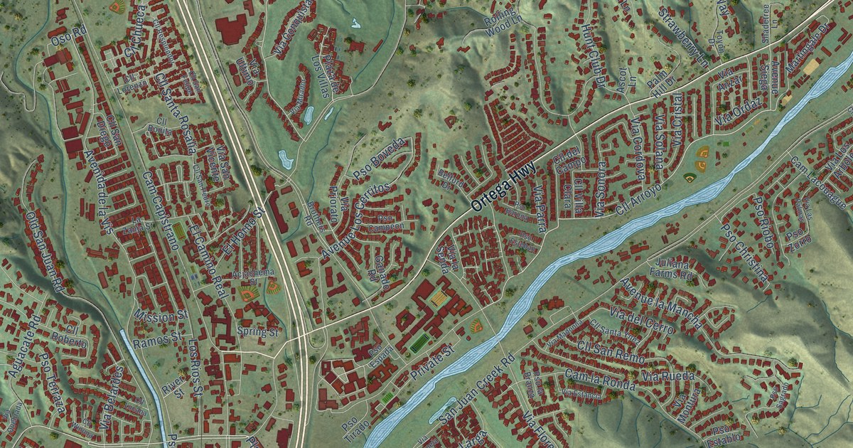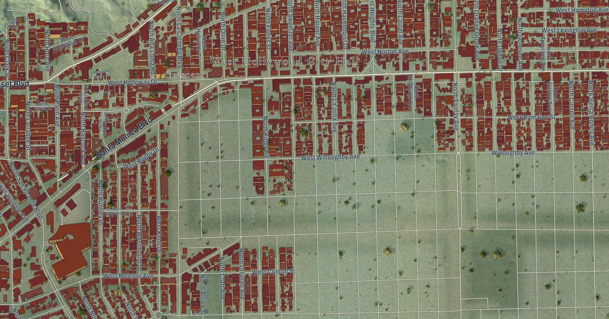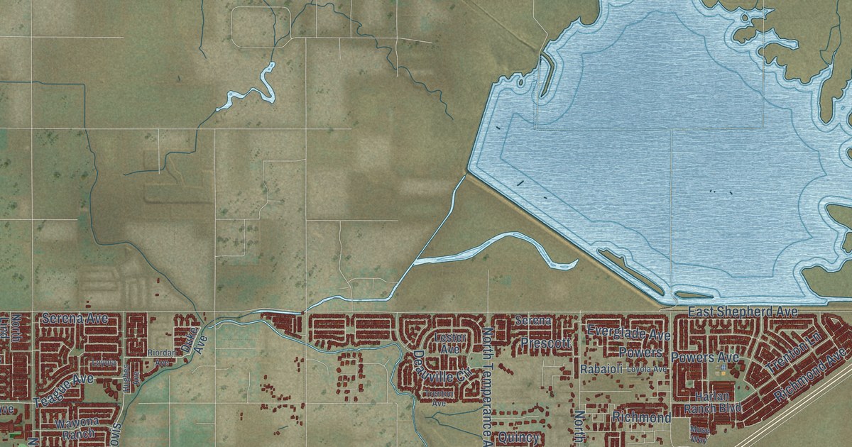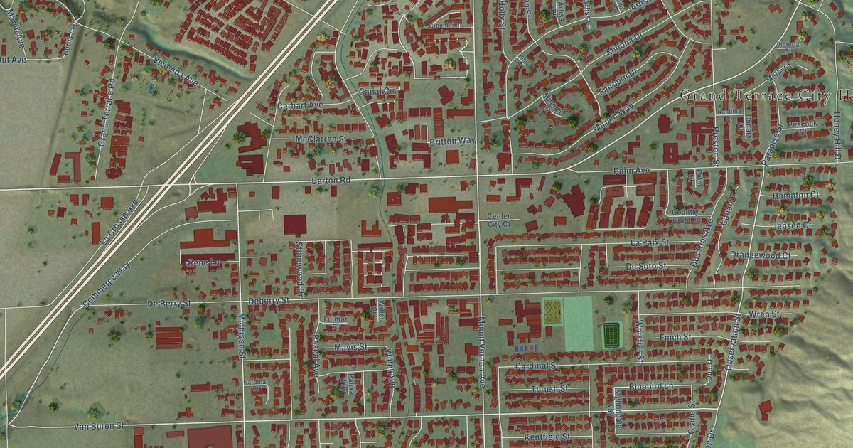
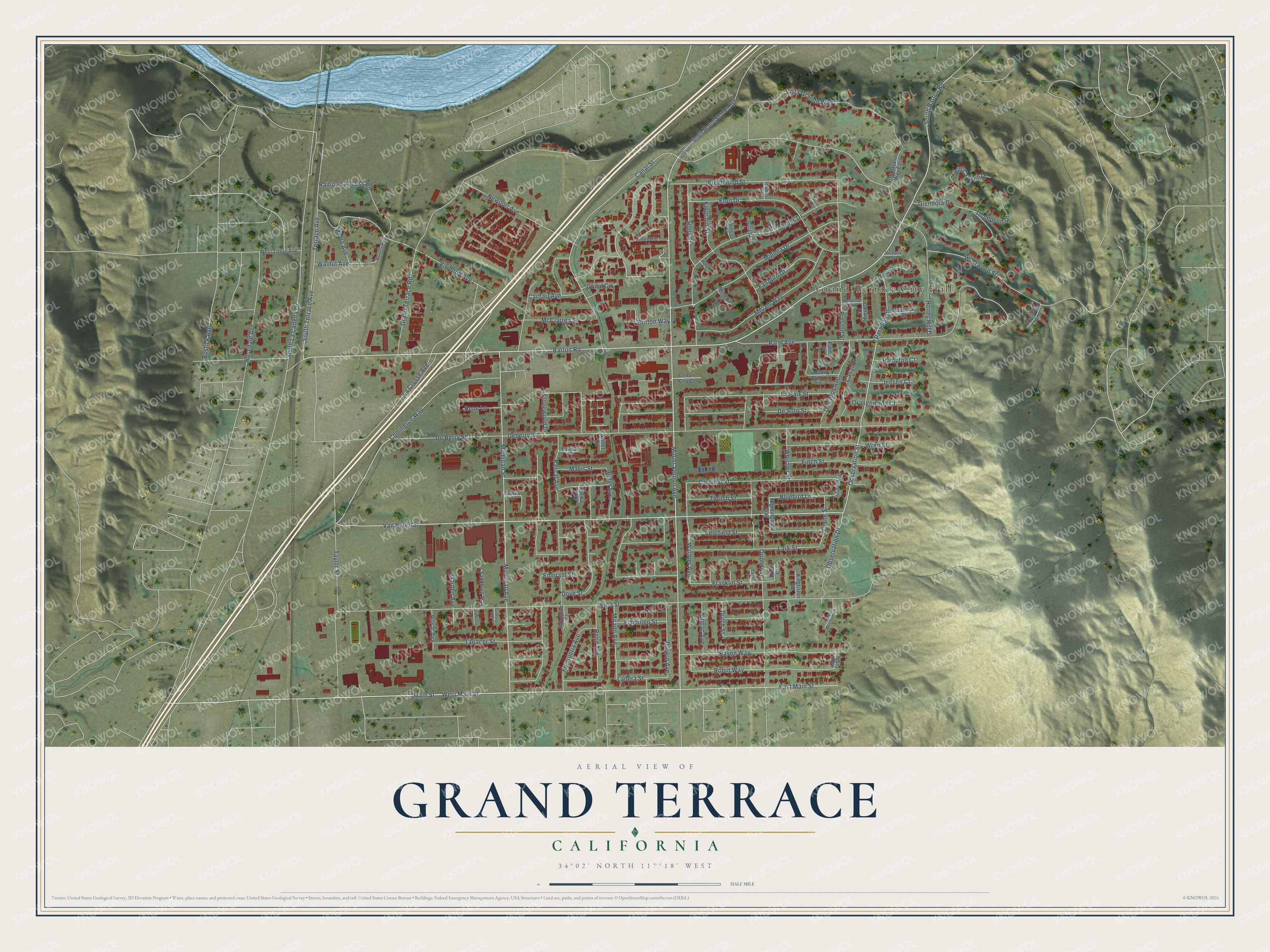
This beautifully detailed map of Grand Terrace, California was created in 2026 using aerial imagery combined with modern topographical, census, street and landmark data. It's a modern aerial view of Grand Terrace in San Bernardino County, California, that combines modern data with a vintage aesthetic. The roads feature printed names, and if you look closely you can find your exact house accurately shown in its correct location.
Explore an aerial view of Grand Terrace, California
On this map you'll find Grand Terrace City Hall, Barton Road, Van Buren Street, Observation Street, South Barton Road, Mount Vernon Avenue, South Terrace Avenue, West Main Street, Canal Circle, Observation Drive, Bluebird Lane, Minona Drive, and more. Each red shape is a building, so zoom in on the preview and look for yours.
Grand Terrace is a city in San Bernardino County. The Census Bureau counted 13,150 people here in 2020. The map prints the town name in its title panel, with the coordinates below it.
Take a closer look at the Grand Terrace map
Names on this map
These names are printed on this map.
Places: Grand Terrace City Hall.
Streets and roads: Barton Road, Van Buren Street, Observation Street, South Barton Road, Mount Vernon Avenue, South Terrace Avenue, West Main Street, Canal Circle, Observation Drive, Bluebird Lane, Minona Drive, Grand Terrace Road.
More street names, A to Z
Arliss Court, Arliss Dell, Arliss Drive, Arliss Lane, Arliss Way, Blue Mountain Court, Bostick Avenue, Brentwood Street, Britton Way, Burns Avenue, Canal Drive, Canal Street, Canary Court, Cardinal Court, Cardinal Street, Carhart Avenue, Center City Court, Commerce Way, Country Club Lane, Crane Street, Darwin Avenue, De Berry Street, Deberry Street, De Soto Street, Dickens Court, Dos Rios Avenue, Dove Street, Dutch Street, Eagle Court, East Main Street, Emerald Street, Eton Drive, Fairburn Drive, Finch Street, Flamingo Street, Franklin Street, Fremontia Avenue, Fulmar Place, Garden Avenue, Glendora Drive, Greenbrier Lane, Hampton Court, Holly Court, Holly Street, Honey Hill Drive, Jensen Court, Kentfield Street, Kingfisher Road, Kingston Street, La Crosse Avenue, Ladera Street, La Paix Street, Lark Street, Main Street, Maple Avenue, Mavis Street, McClarren Street, Merle Court, Michigan Avenue, Michigan Street, Mike Todd Lane, Minona Court, Mirado Avenue, Miriam Way, Nandina Street, Newport Avenue, Nightingale Way, Orangewood Court, Oriole Avenue, Palika Way, Palm Avenue, Palm Court, Palomino Court, Paradise Street, Pascal Avenue, Peacock Court, Pico Street, Preston Street, Pruit Court, Quail Lane, Railroad Access Road, Raven Way, Reed Avenue, Rene Lane, Robin Way, Rosedale Avenue, Royal Avenue, Sanburg Way, Sandburg Way, South La Cadena Drive, South Mount Vernon Avenue, Stonewood Drive, Tanager Street, Taylor Street, Terrace Avenue, Thames Street, Thompson Drive, Thrush Street, Twin Canyon Drive, Victoria Street, Vista Grande Way, Vista Grande Way East, Vivienda Avenue, Walnut Avenue, Warbler Avenue, West Litton Avenue, Westwood Lane, Westwood Street, Whistler Street, Willet Avenue, Willet Court, Wilmac Avenue, Wren Street.
Created by KNOWOL in 2026. The buildings are small red shapes, the roads carry their printed names, and shaded relief shows the shape of the land. The title panel reads "AERIAL VIEW OF GRAND TERRACE CALIFORNIA" with 34°02' NORTH 117°18' WEST.
Hang it in the hallway, the office or the cabin, or give it to someone who left Grand Terrace and still calls it home. Open the preview and look for a street you know. See sizes and frames for the Grand Terrace map.