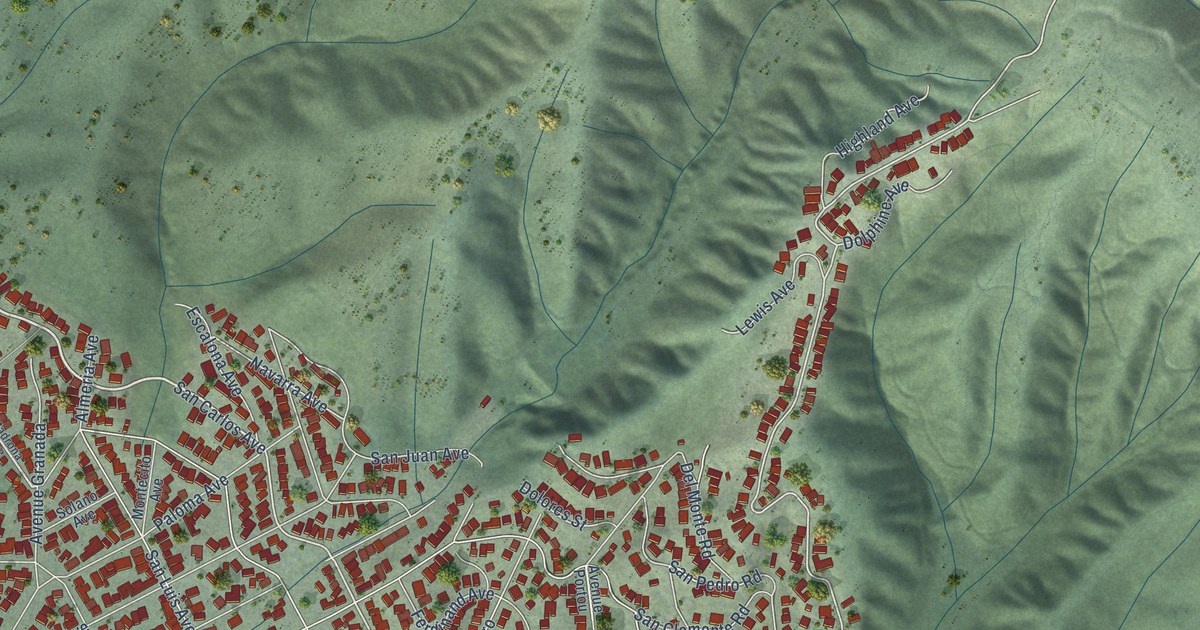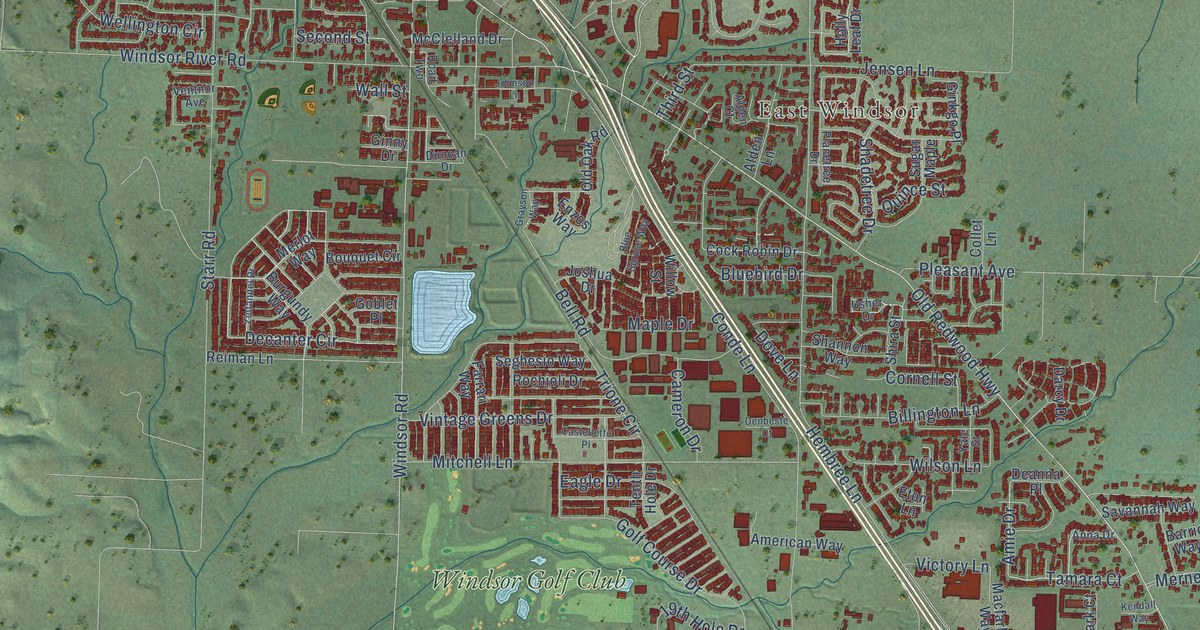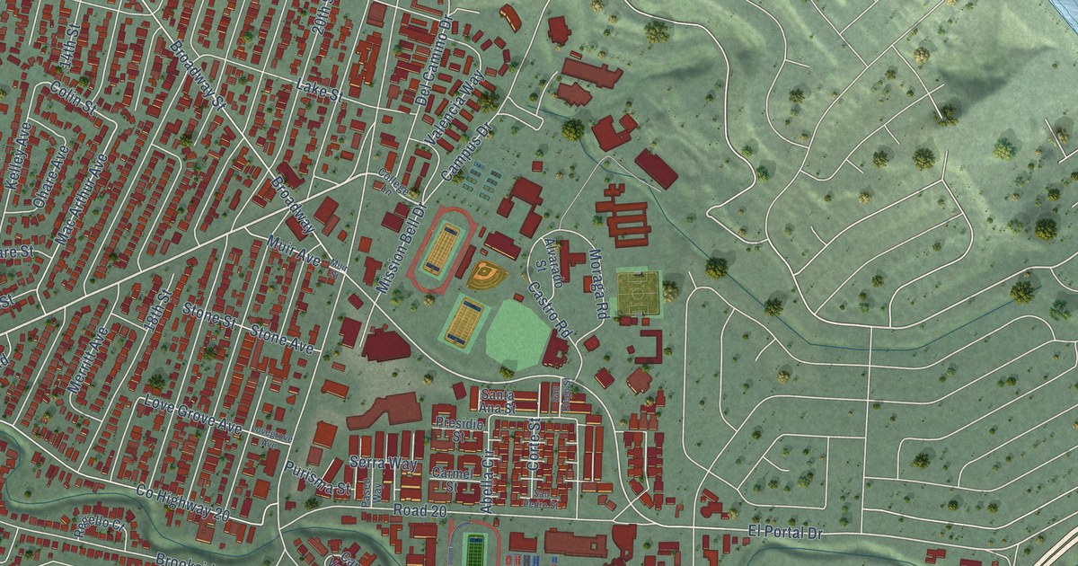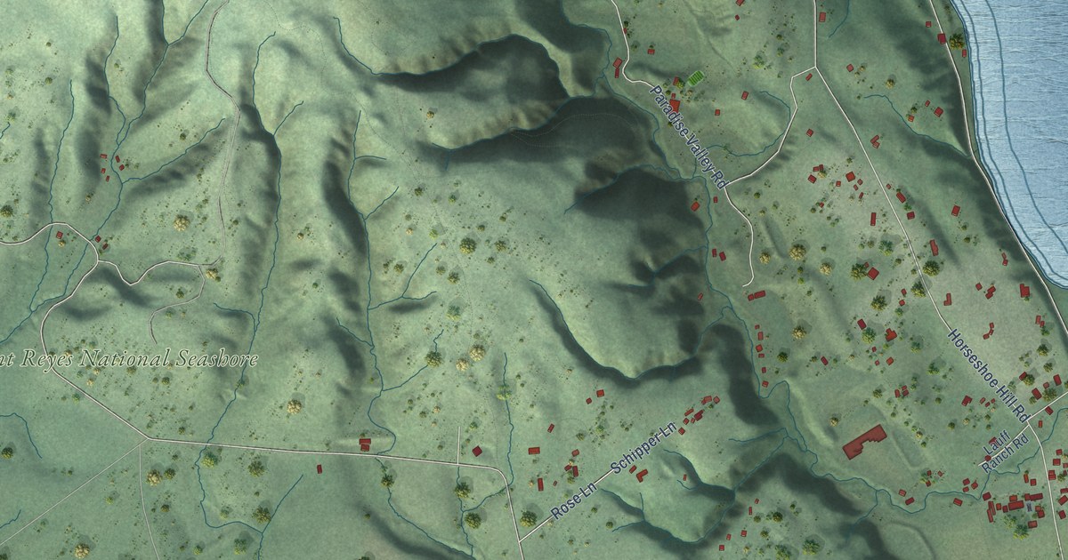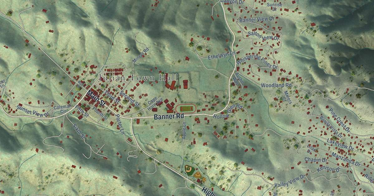
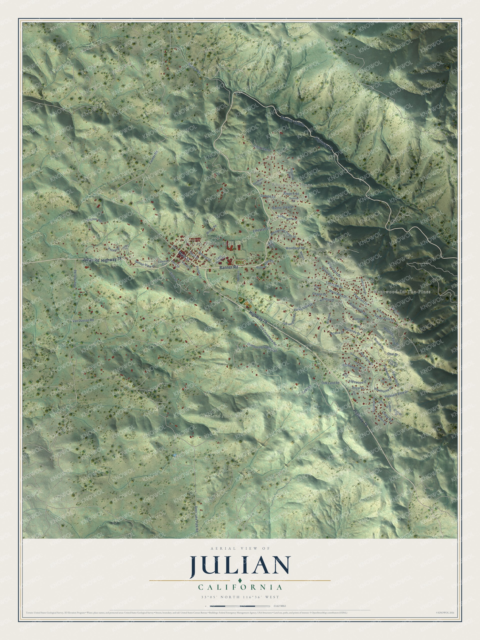
This beautifully detailed map of Julian, California was created in 2026 using aerial imagery combined with modern topographical, census, street and landmark data. It's a modern aerial view of Julian in San Diego County, California, that combines modern data with a vintage aesthetic. The roads feature printed names, and if you look closely you can find your exact house accurately shown in its correct location.
Explore an aerial view of Julian, California
On this map you'll find Julian Town Hall, Whispering Pines, Kentwood-In-The-Pines, Cleveland National Forest, Main Street, Banner Road, Julian Road, Highway 78, Banner-Grade, Highway 79, Lakeview Drive, Farmer Road, and more. Each red shape is a building, so zoom in on the preview and look for yours.
Here is a piece of Julian history, in the words of the record. The National Register of Historic Places puts it this way: "The Robinson's came to the Julian area around the l880rs not long
after gold was discovered near Coleman Creek."
Julian is a community in San Diego County. The Census Bureau counted 1,768 people here in 2020.
Take a closer look at the Julian map
Names on this map
These names are printed on this map.
Places: Julian Town Hall, Whispering Pines, Kentwood-In-The-Pines and Cleveland National Forest.
Streets and roads: Main Street, Banner Road, Julian Road, Highway 78, Banner-Grade, Highway 79, Lakeview Drive, Farmer Road, Edgewood Drive, Highland Drive, Whispering Pines Drive, Royal Drive.
More street names, A to Z
Acacia Drive, Alta Vista Drive, Antlers Drive, Apple Lane, Austin Way, Banner View Drive, Bonita Vista Drive, Canyon Drive, Cape Horn Avenue, Cedar Road, Chapin Drive, Chateau Drive, Circle Drive, Coleman Circle, Country Club Drive, Crescent Drive, Crestview Drive, Deer Lake Park Road, Dolores Drive, Elysian Drive, Emerald Drive, Ethelwyn Lane, Fifth Street, Fourth Street, Hacienda Drive, Hawthorne Drive, Heliotrope Drive, Hickman Place, Hollow Glen Road, Imperial Drive, Julian Lane, Kenison Drive, Kentwood Drive, Knob Hill Drive, Leon Lane, Lilac Drive, Manzanita Drive, Miners Court, Miners Road, Mountain View Drive, Oak Heights Road, Oak Land Road, Oakwood Drive, Old Cuyamaca Road, Opal Drive, Panarama Drive, Park Drive, Payson Drive, Payson Road, Pheasant Drive, Pine Cone Drive, Pine Crest Drive, Pine Hills Road, Pleasant View Drive, Porter Lane, Ridge Trail, Ridgewood Drive, Salton View Drive, Salton Vista Drive, Second Street, Sixth Street, Slumbering Oaks Trail, Sunrise Drive, Sunset Drive, Sunset View Drive, Sunshine Trail, Third Street, Valley View Drive, Van Duesan Road, Vinewood Drive, Wild Lilac Trail, Woodland Road, Wynola Road, Yucca Drive.
Created by KNOWOL in 2026. The buildings are small red shapes, the roads carry their printed names, and shaded relief shows the shape of the land. The title panel reads "AERIAL VIEW OF JULIAN CALIFORNIA" with 33°05' NORTH 116°36' WEST.
It suits a den, a classroom or a front hall, and it makes a gift for anyone with Julian roots. Open the preview and find the block you know. See sizes and frames for the Julian map.