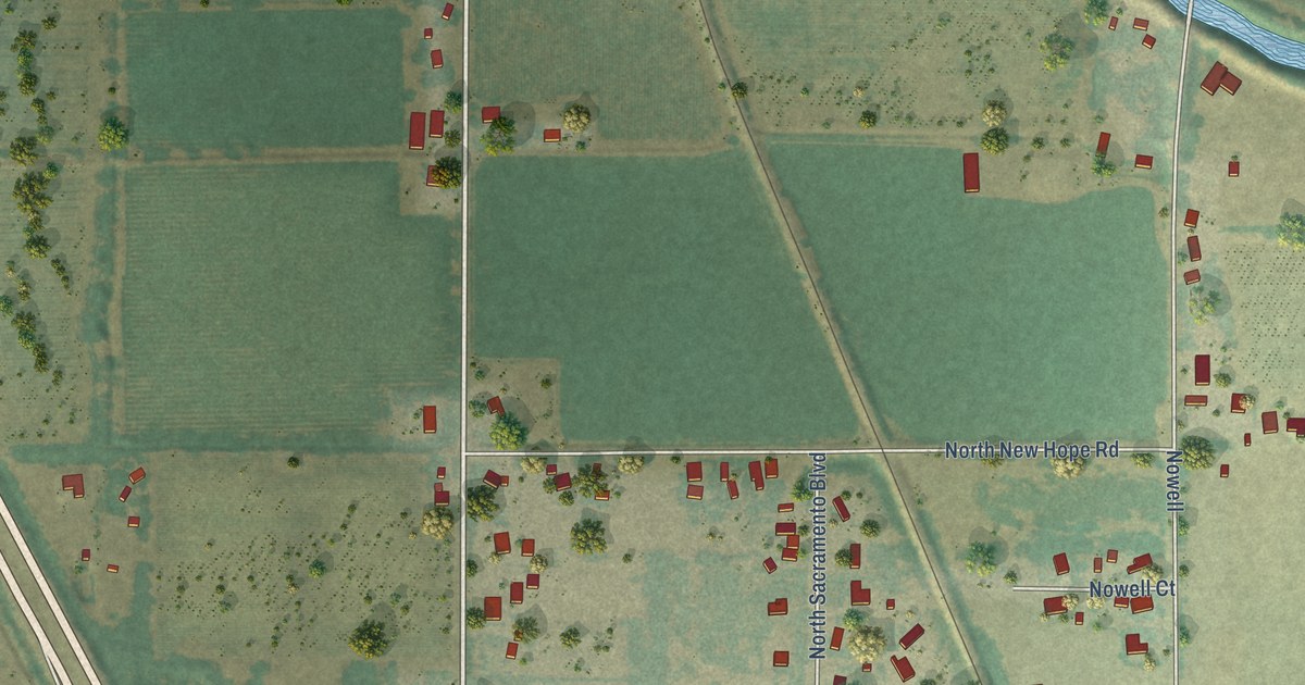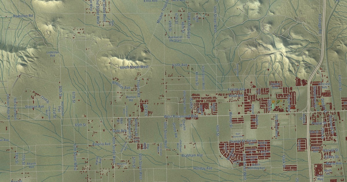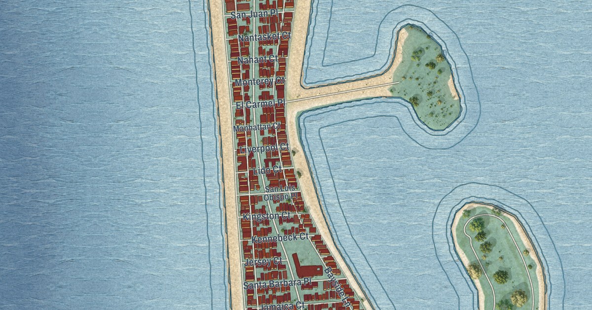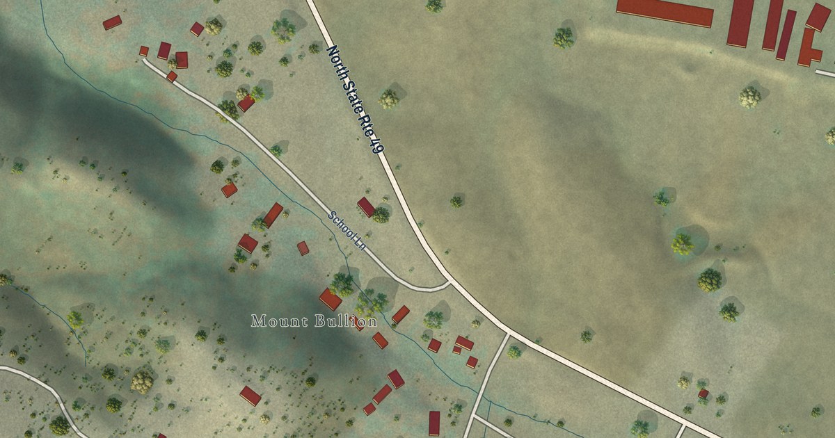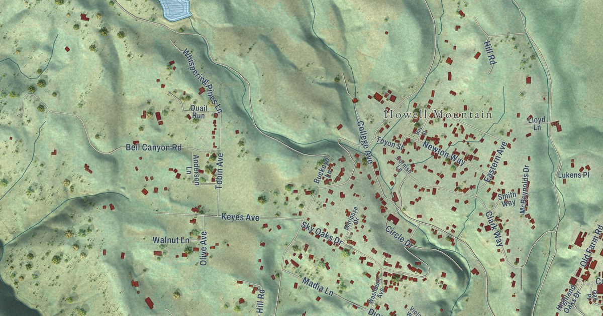
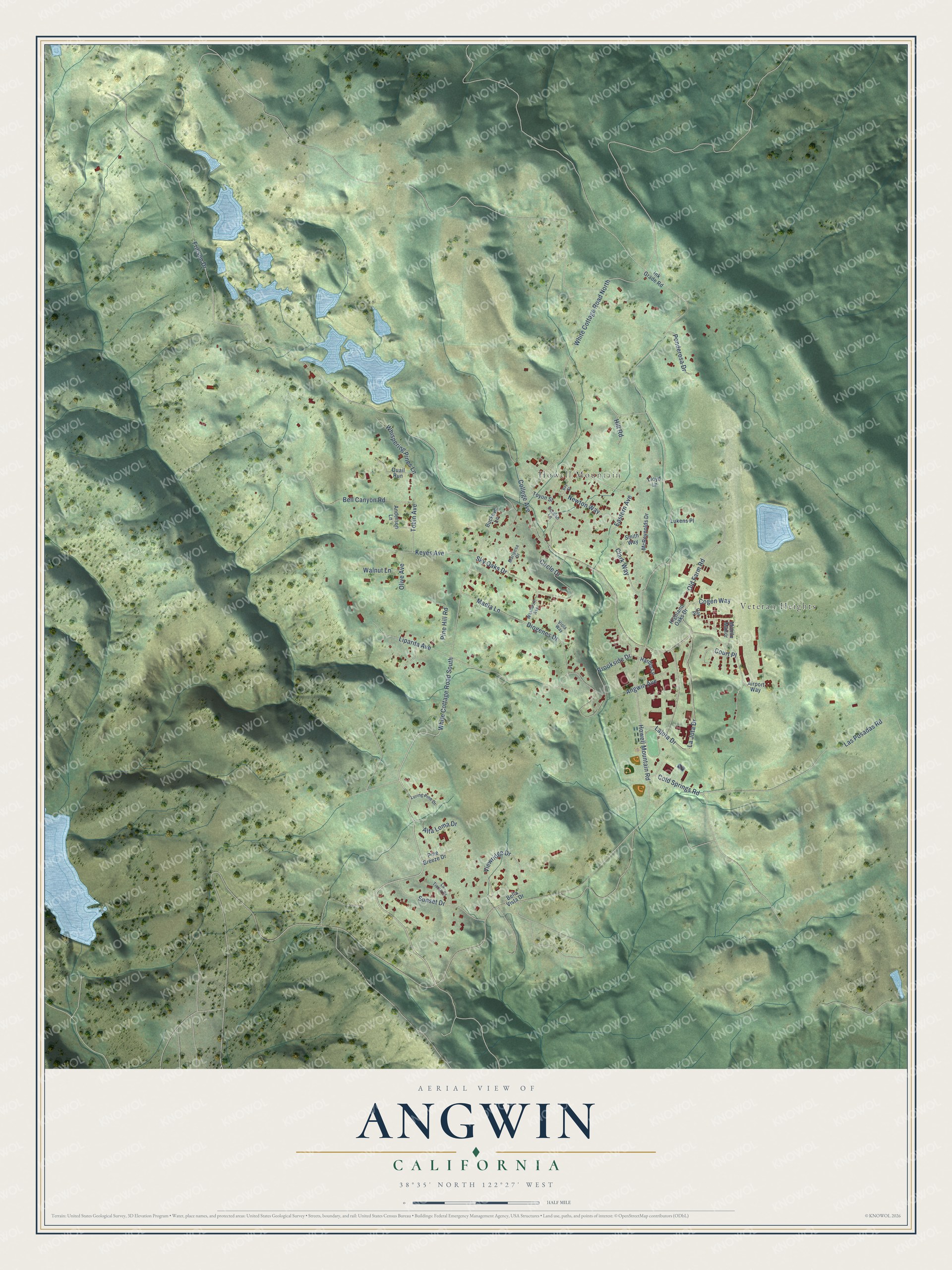
This beautifully detailed map of Angwin, California was created in 2026 using aerial imagery combined with modern topographical, census, street and landmark data. It's a modern aerial view of Angwin in Napa County, California, that combines modern data with a vintage aesthetic. The roads feature printed names, and if you look closely you can find your exact house accurately shown in its correct location.
Explore an aerial view of Angwin, California
On this map you'll find Veteran Heights, Howell Mountain, White Cottage Road South, Angwin Avenue, Cold Springs Road, Howell Mountain Road, Friesen Drive, College Avenue, White Cottage Road North, Brookside Drive, Las Posadas Road, Clark Way, and more. Each red shape is a building, so zoom in on the preview and look for yours.
Angwin is a community in Napa County. The Census Bureau counted 2,633 people here in 2020. Angwin sits about 3 miles north of Deer Park, 7 miles east of Calistoga and 8 miles north of Rutherford. The map prints the town name in its title panel, with the coordinates below it.
Take a closer look at the Angwin map
Names on this map
These names are printed on this map.
Places: Veteran Heights and Howell Mountain.
Streets and roads: White Cottage Road South, Angwin Avenue, Cold Springs Road, Howell Mountain Road, Friesen Drive, College Avenue, White Cottage Road North, Brookside Drive, Las Posadas Road, Clark Way, Bell Canyon Road, La Jota Drive.
More street names, A to Z
Airport Way, Alta Loma Drive, Anderson Lane, Bay Street, Bella Vista Drive, Buckeye Lane, Circle Drive, Cogen Way, Cornish Lane, Court Place, Diogenes Drive, Eastern Avenue, Hardin Lane, Highland Oaks Drive, Hill Road, Ink Grade Road, Keyes Avenue, Lajota Drive, La Tierra Drive, Liparita Avenue, Lloyd Lane, Lukens Place, Luring Pine Drive, Madia Lane, Mariposa Drive, McReynolds Drive, Mobile Manor, Newton Way, Oak Place, Old Farm Road, Olive Avenue, Pine Breeze Drive, Pine Hill Road, Ponderosa Drive, Quail Run, Sky Oaks Drive, Smith Way, Sunset Drive, Tobin Avenue, Toyon Street, Viewridge Drive, Viola Way, Walnut Lane, Washburn Avenue, Whispering Pines Lane.
See it on a wall
The Angwin map as a framed print. Swipe for more.


Created by KNOWOL in 2026. The buildings are small red shapes, the roads carry their printed names, and shaded relief shows the shape of the land. The title panel reads "AERIAL VIEW OF ANGWIN, CALIFORNIA" with 38°35' NORTH 122°27' WEST.
It looks right in a kitchen, an office or a den, and it's a gift for anyone who grew up in Angwin or moved away. Open the preview and find your street. See sizes and frames for the Angwin map.