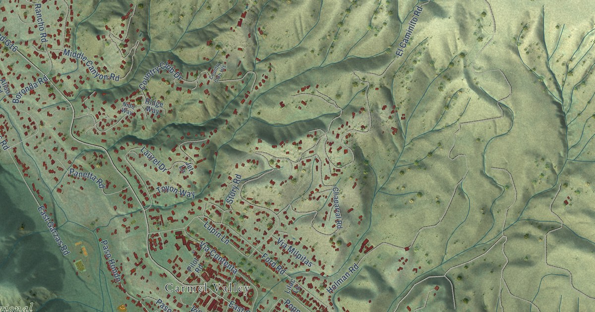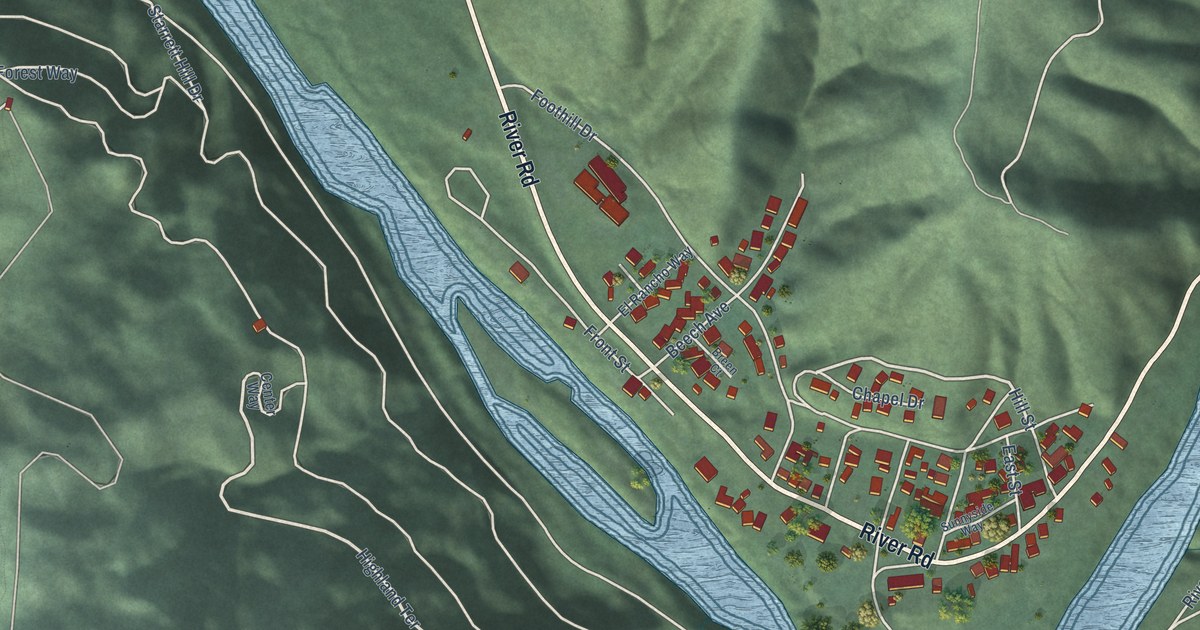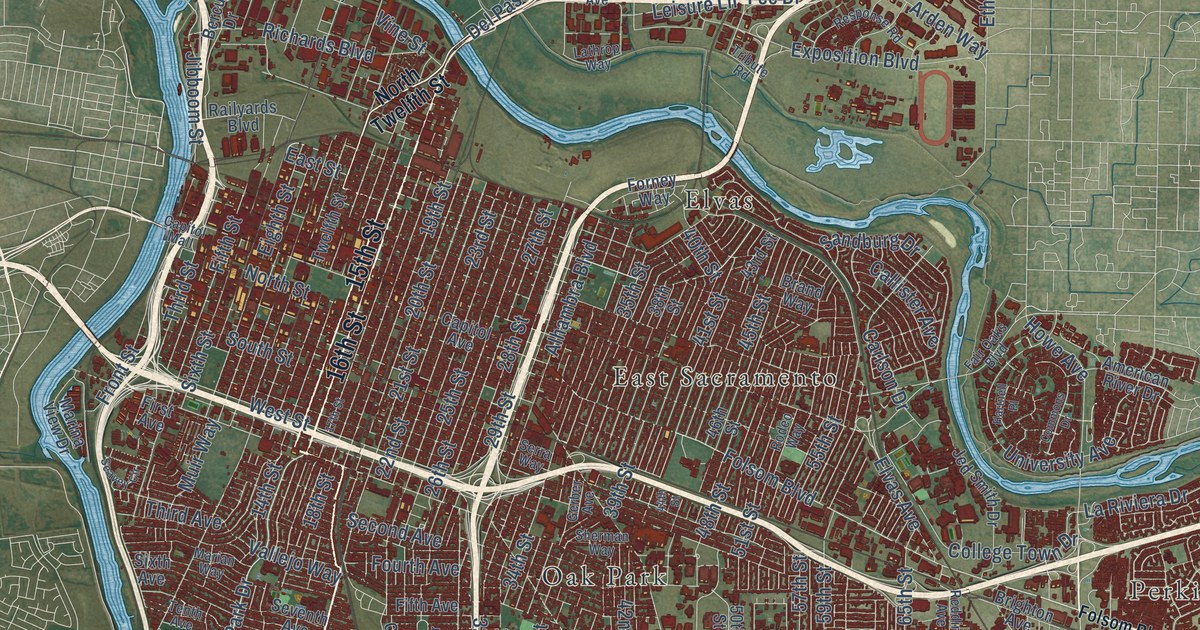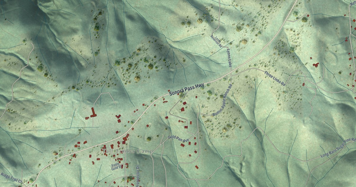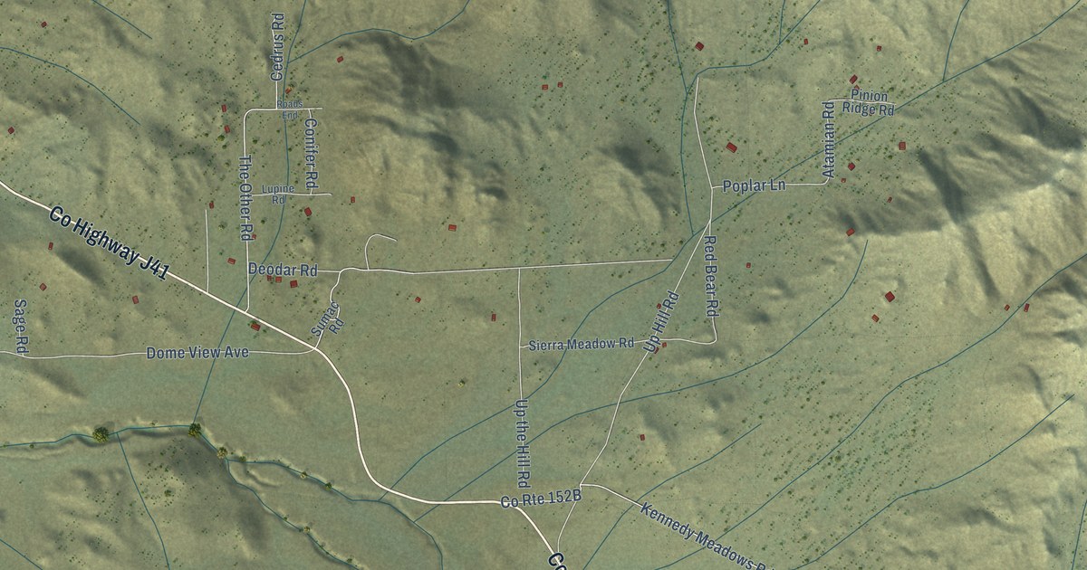
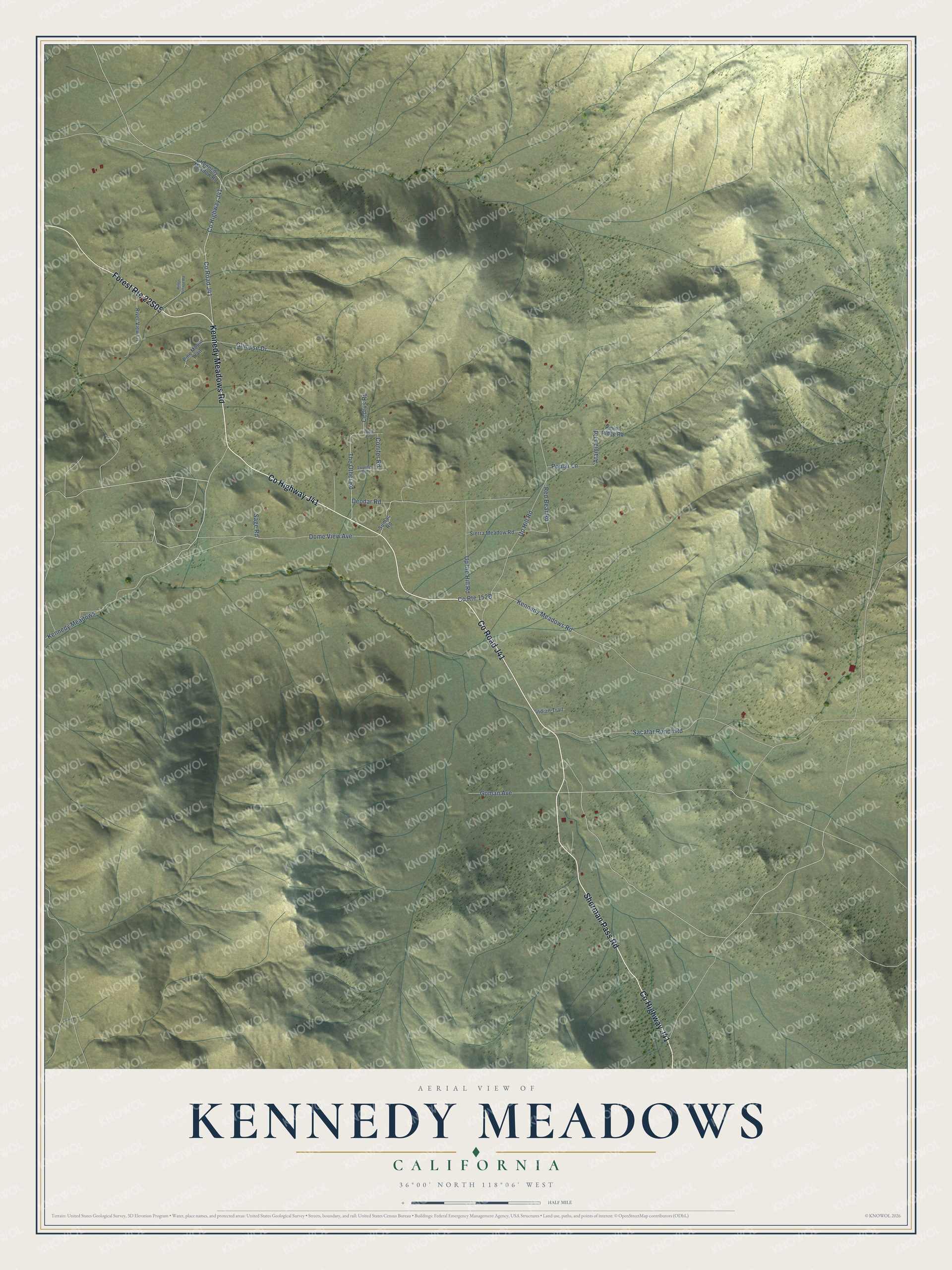
This beautifully detailed map of Kennedy Meadows, California was created in 2026 using aerial imagery combined with modern topographical, census, street and landmark data. It's a modern aerial view of Kennedy Meadows in Tulare County, California, that combines modern data with a vintage aesthetic. The roads feature printed names, and if you look closely you can find your exact house accurately shown in its correct location.
Explore an aerial view of Kennedy Meadows, California
On this map you'll find Co Highway J41, Kennedy Meadows Road, Co Road J41, Sherman Pass Road, Atamian Road, Sacatar Ranch Road, Up Hill Road, Dome View Avenue, Deodar Road, The Other Road, Up the Hill Road, Goman Avenue, and more. Each red shape is a building, so zoom in on the preview and look for yours.
Here is a piece of Kennedy Meadows history. Jack Ewing, a retired naval officer who helped start the China Lake naval station during the Second World War, organized a group that held a series of rodeos for the children of the crowded trailer camps near the base. The money opened the Nine Mile Canyon Road to safe travel and set up a summer camp for those children at Kennedy Meadows. That's from the Kern Valley Sun.
Kennedy Meadows is a community in Tulare County. The Census Bureau counted 58 people here in 2020.
Take a closer look at the Kennedy Meadows map
Names on this map
These names are printed on this map.
Streets and roads: County Highway J41, Kennedy Meadows Road, County Road J41, Sherman Pass Road, Atamian Road, Sacatar Ranch Road, Up Hill Road, Dome View Avenue, Deodar Road, The Other Road, Up the Hill Road, Goman Avenue.
More street names, A to Z
Cedrus Road, Conifer Road, Glimpse Drive, Indian Trail, Kennedy Meadow Road, Kennedy Meadows, Lupine Road, Pine Mount Trail, Pinion Ridge Road, Pinon Village Road, Poplar Lane, Red Bear Road, River View Lane, Roads End, Sage Road, Sierra Meadow Road, Sumac Road.
See it on a wall
The Kennedy Meadows map as a framed print. Swipe for more.


Created by KNOWOL in 2026. The buildings are small red shapes, the roads carry their printed names, and shaded relief shows the shape of the land. The title panel reads "AERIAL VIEW OF KENNEDY MEADOWS, CALIFORNIA" with 36°00' NORTH 118°06' WEST.
It suits a den, a classroom or a front hall, and it makes a gift for anyone with Kennedy Meadows roots. Open the preview and find the block you know. See sizes and frames for the Kennedy Meadows map.