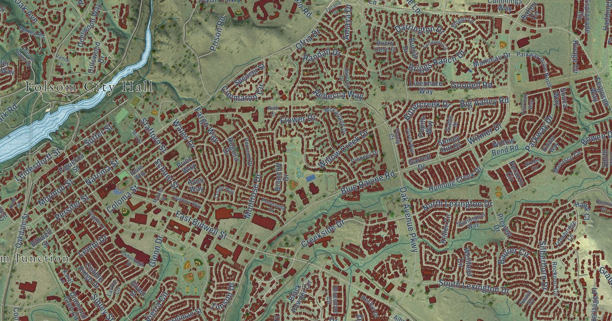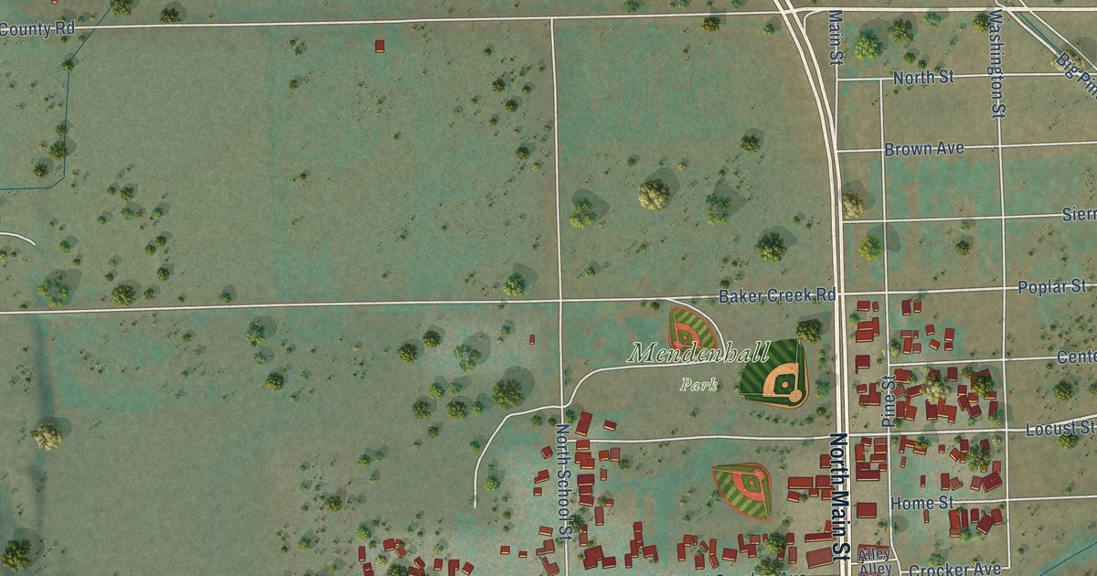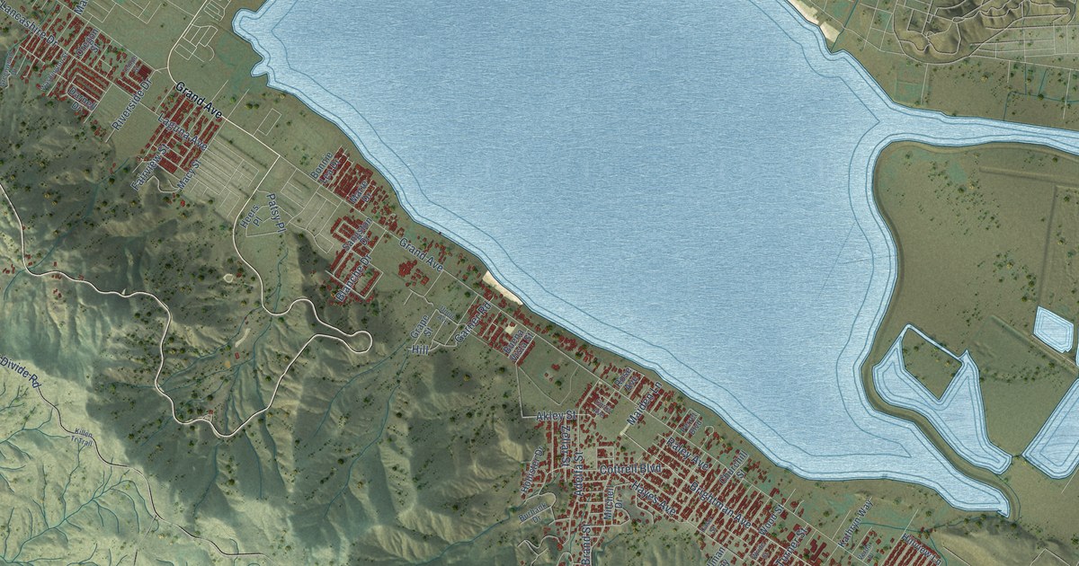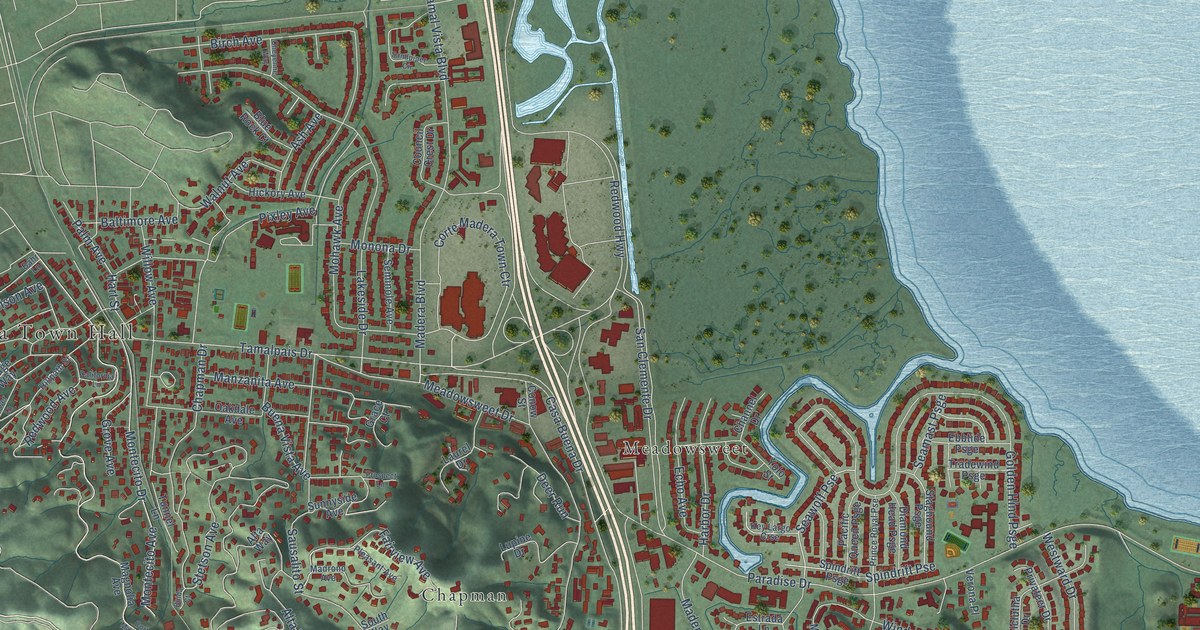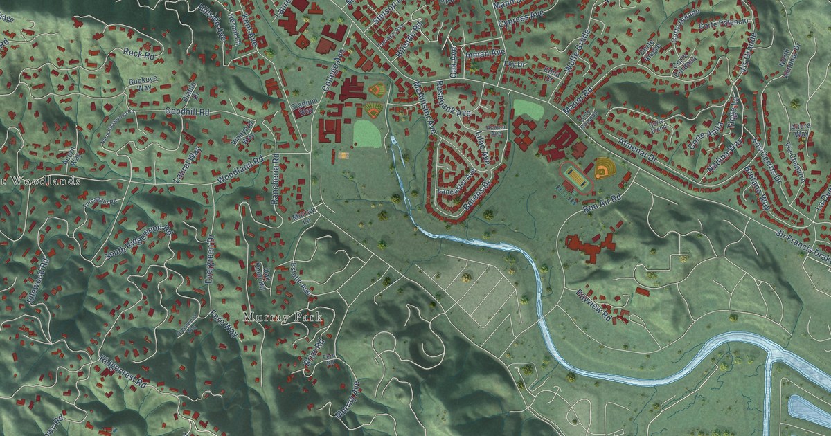
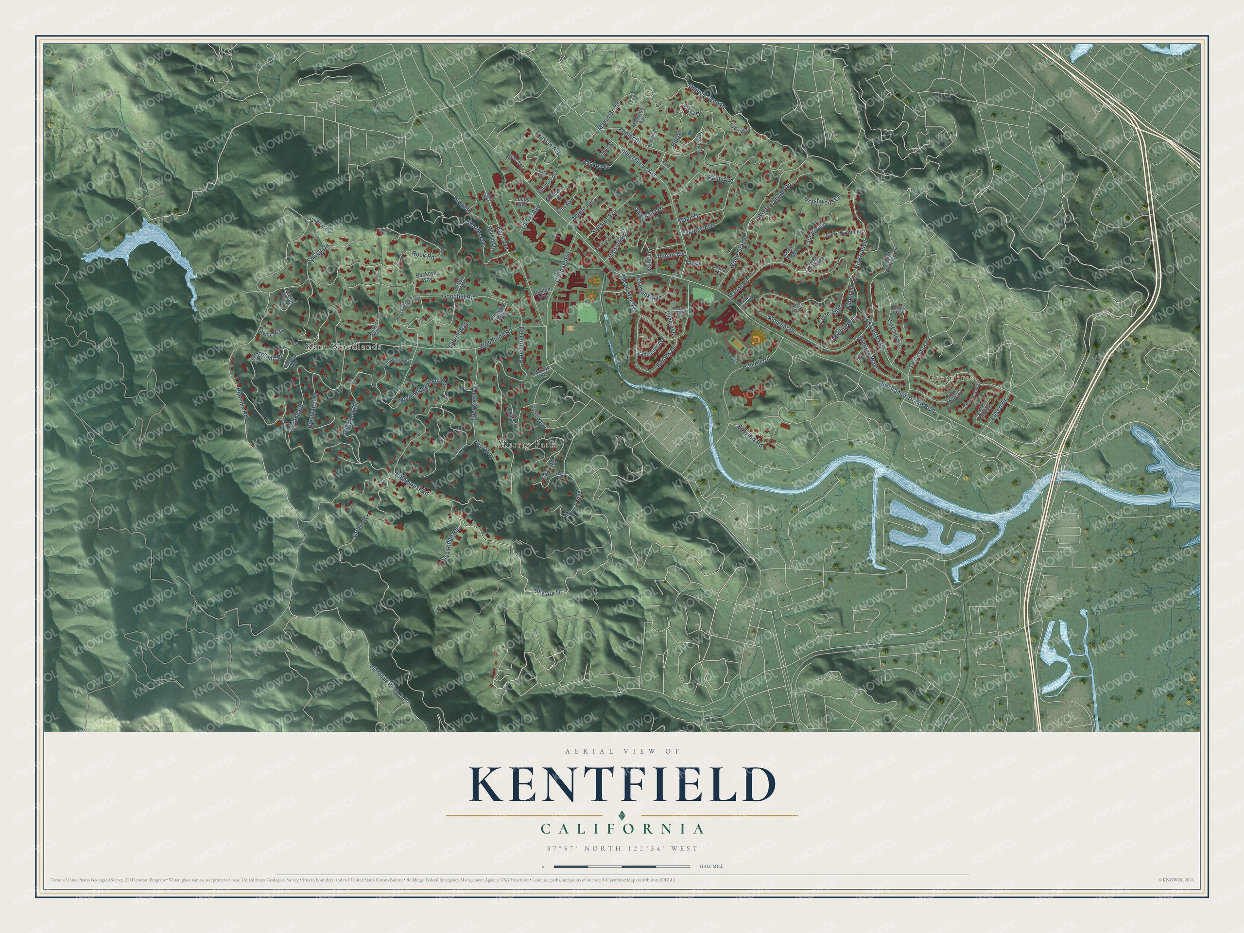
This beautifully detailed map of Kentfield, California was created in 2026 using aerial imagery combined with modern topographical, census, street and landmark data. It's a modern aerial view of Kentfield in Marin County, California, that combines modern data with a vintage aesthetic. The roads feature printed names, and if you look closely you can find your exact house accurately shown in its correct location.
Explore an aerial view of Kentfield, California
On this map you'll find Greenbrae, Kent Woodlands, Murray Park, Skylark Drive, Phoenix Road, Lilac Avenue, Briar Road, Crown Road, Sir Francis Drake Boulevard, Goodhill Road, Evergreen Drive, Woodland Road, and more. Each red shape is a building, so zoom in on the preview and look for yours.
Kentfield is a community in Marin County. The Census Bureau counted 6,808 people here in 2020. The map prints the town name in its title panel, with the coordinates below it.
Take a closer look at the Kentfield map
Names on this map
These names are printed on this map.
Places: Greenbrae, Kent Woodlands and Murray Park.
Streets and roads: Skylark Drive, Phoenix Road, Lilac Avenue, Briar Road, Crown Road, Sir Francis Drake Boulevard, Goodhill Road, Evergreen Drive, Woodland Road, Rancheria Road, South Ridgewood Road, Poplar Drive.
More street names, A to Z
Acacia Avenue, Acorn Way, Almenar Drive, Altamira Avenue, Altura Way, Arroyo Drive, Bayview Road, Berens Drive, Blithedale Ridge Fr Road, Blue Ridge Road, Bon Air Road, Bretano Way, Bridge Road, Brushwood Lane, Buckeye Way, Butterfly Lane, College Avenue, Coronet Way, Corte Alegre, Corte Anita, Corte Cayuga, Corte Comoda, Corte Cordova, Corte de Sabla, Corte Dorado, Corte Elena, Corte Morada, Corte Patencio, Cypress Avenue, Diablo Drive, Edna Court, Eliseo Drive, Elm Avenue, Emlin Place, Estelle Avenue, Fay Drive, Fern Road, Fern Way, Geary Avenue, Greenwood Way, Hanken Drive, Hermit Lane, Hill Drive, Hillside Avenue, Hillside Road, Hotaling Court, Idlewood Road, Inman Avenue, Kent Avenue, La Cuesta Drive, Lancaster Avenue, Laurel Avenue, Laurel Grove Avenue, Laurel Way, Locust Avenue, Los Cerros Drive, Madrone Avenue, Makin Grade, Mann Drive, Manor Road, Maple Avenue, McAllister Avenue, Murray Avenue, Murray Lane, Nadina Way, North Almenar Drive, North Ridgewood Road, Oak Avenue, Oak Knoll Road, Palm Avenue, Pine Court, Poplar Avenue, Quail Ridge, Quisisana Drive, Ravine Way, Ridgecrest Road, Rock Road, Rosebank Avenue, Ross Terrace, Spring Road, Stadium Way, Stetson Avenue, Terrace Avenue, Tioga Lane, Toussin Avenue, Toyon Way, Treetop Way, Turnagain Road, Upland Road, Upper Toyon Drive, Via Cheparro, Vineyard Way, Vis Grande, Vista Drive, Westwood Drive, Wolfe Canyon Road, Wolfe Grade, Woodland Place.
Created by KNOWOL in 2026. The buildings are small red shapes, the roads carry their printed names, and shaded relief shows the shape of the land. The title panel reads "AERIAL VIEW OF KENTFIELD CALIFORNIA" with 37°57' NORTH 122°34' WEST.
It suits a den, a classroom or a front hall, and it makes a gift for anyone with Kentfield roots. Open the preview and find the block you know. See sizes and frames for the Kentfield map.