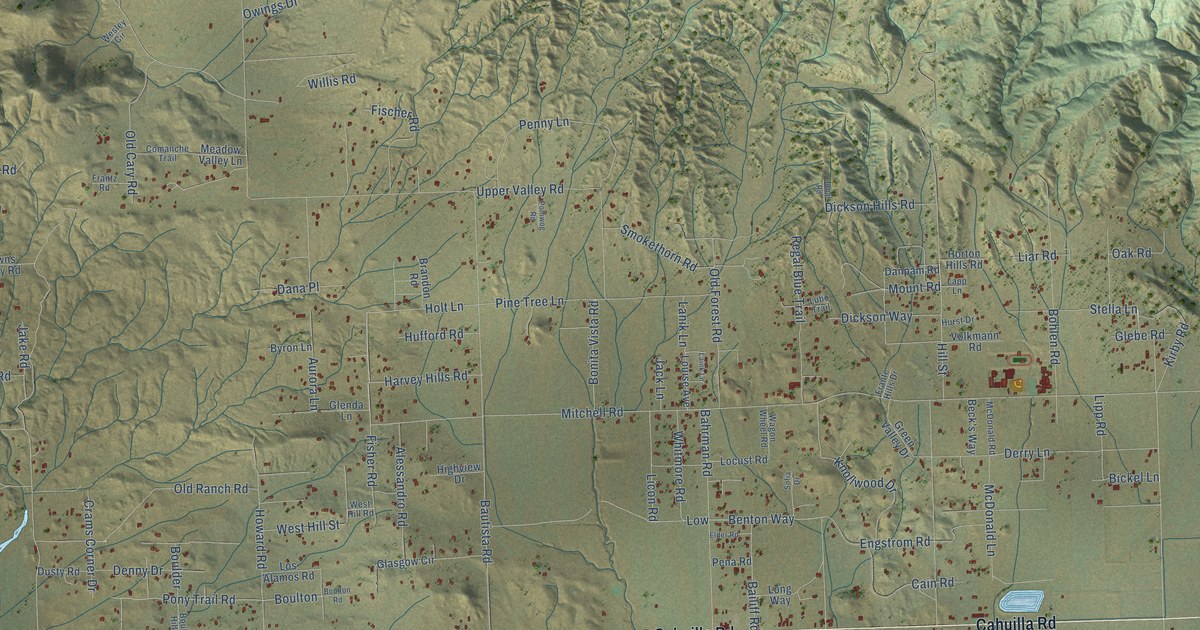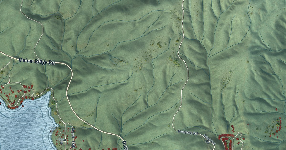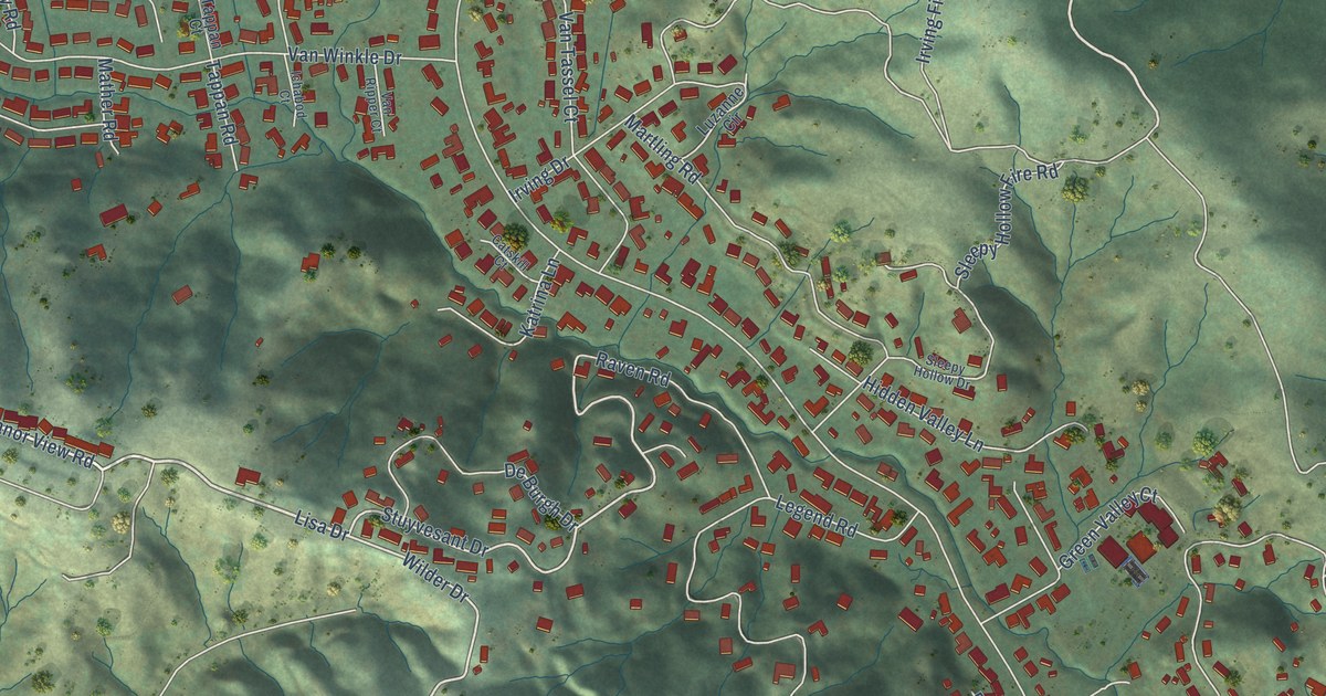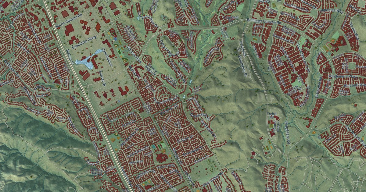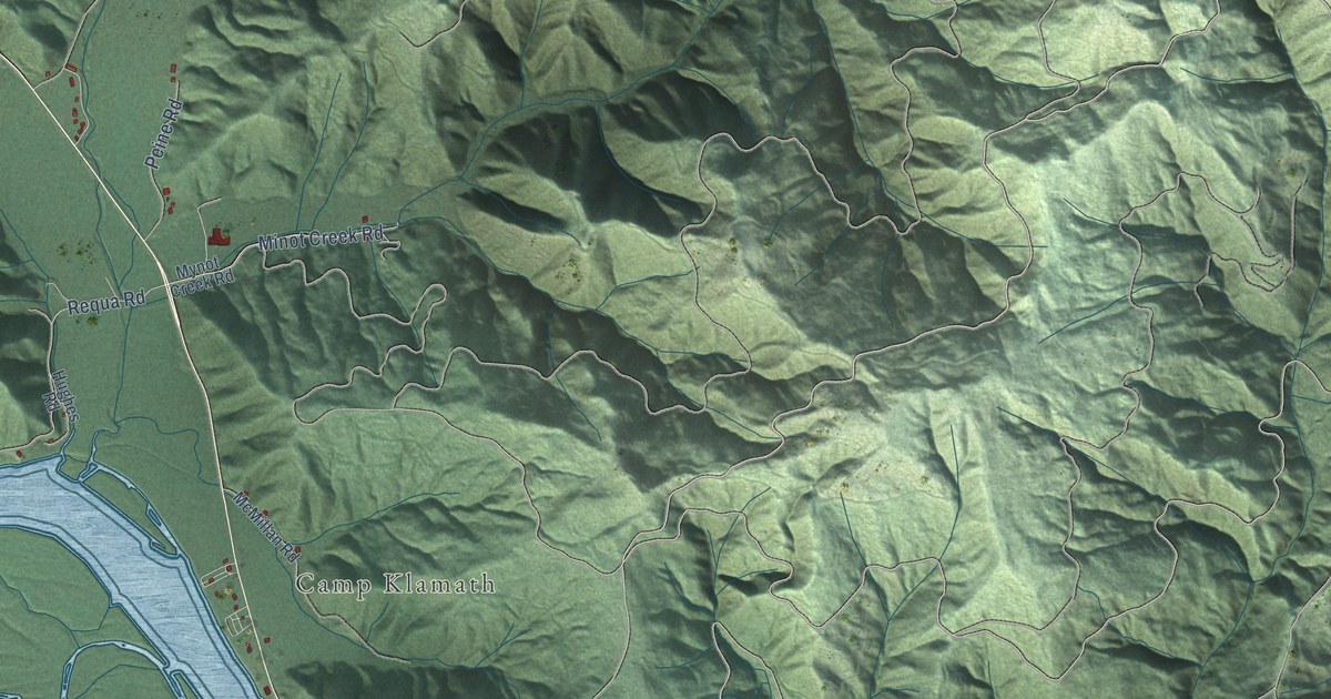
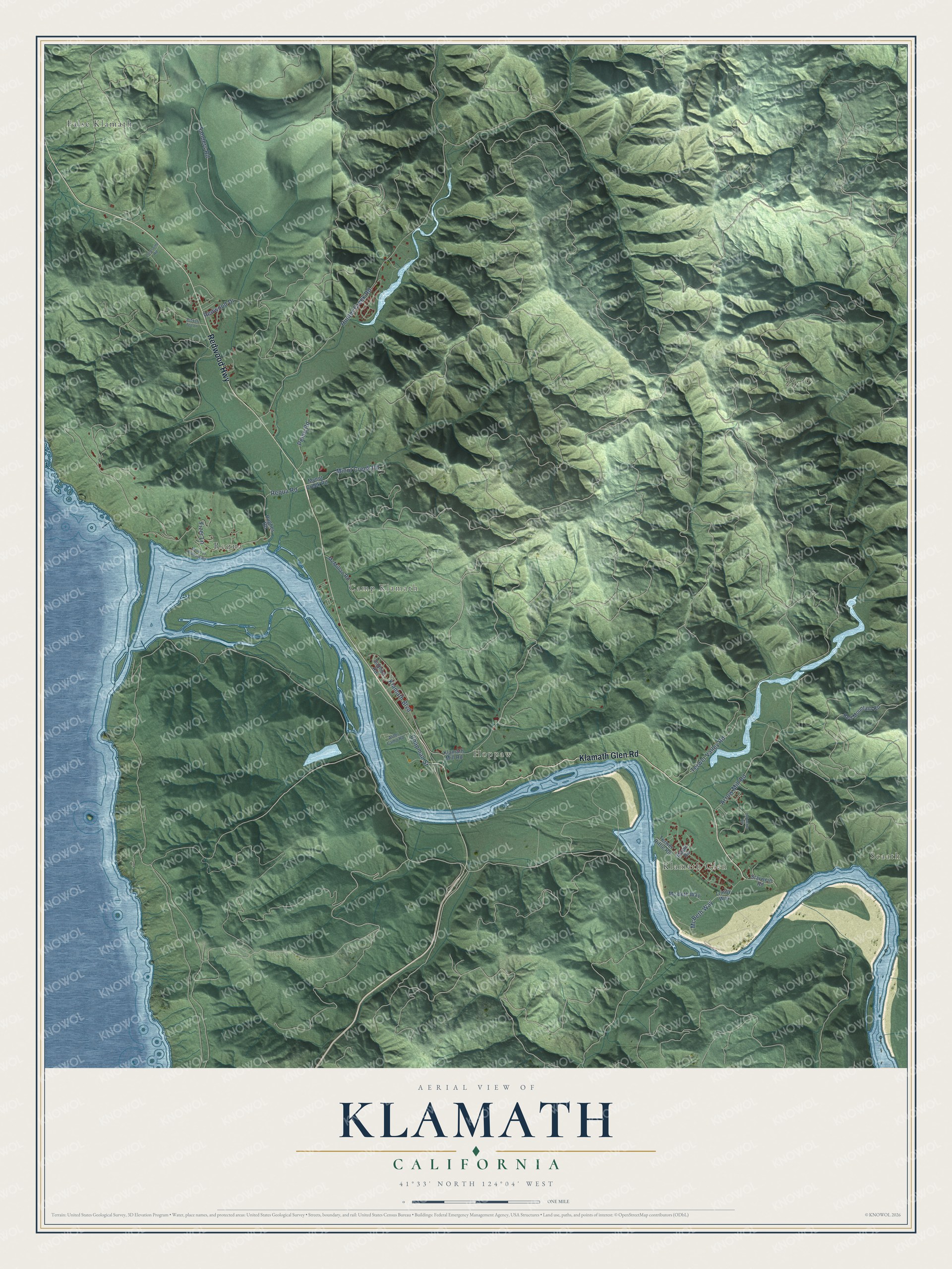
This beautifully detailed map of Klamath, California was created in 2026 using aerial imagery combined with modern topographical, census, street and landmark data. It's a modern aerial view of Klamath in Del Norte County, California, that combines modern data with a vintage aesthetic. The roads feature printed names, and if you look closely you can find your exact house accurately shown in its correct location.
Explore an aerial view of Klamath, California
On this map you'll find Scaath, Klamath Glen, Hoppaw, Camp Klamath, False Klamath, Requa, Klamath Glen Road, Redwood Highway, Requa Road, McBeth Way, Sanders Road, Chapman Street, and more. Each red shape is a building, so zoom in on the preview and look for yours.
Here is a piece of Klamath history. Klamath is home to the headquarters of the Yurok Tribe, the largest tribe in California. The Yurok people once lived in more than fifty villages, and they call the Klamath and Trinity rivers the lifeline of their people, the source of salmon, sturgeon and candlefish. In the Yurok language, ney-puy means salmon, and the Tribe says its people were known as great fishermen, basket weavers, canoe makers, storytellers and healers. That's from the Yurok Tribe.
Klamath is a community in Del Norte County. The Census Bureau counted 1,088 people here in 2020.
Take a closer look at the Klamath map
Names on this map
These names are printed on this map.
Places: Scaath, Klamath Glen, Hoppaw, Camp Klamath, False Klamath and Requa.
Streets and roads: Klamath Glen Road, Redwood Highway, Requa Road, McBeth Way, Sanders Road, Chapman Street, Minot Creek Road, Klamath Boulevard, Hunter Creek Road, Arrow Mill Road, Terwer Valley Road, Peine Road.
More street names, A to Z
Alder Camp Road, Broken Tee Lane, Debacker Road, Fizer Lane, Hughes Road, Klamath Mill Road, Lonesome Road, Maple Road, Mc Beth Way, McMillan Road, Mouth of Klamath Road, Mynot Creek Road, Red Mountain Road, Redwood Drive, Salmon Road, Starwein Road, Terwer Riffle Road, Trinity Way.
See it on a wall
The Klamath map as a framed print. Swipe for more.


Created by KNOWOL in 2026. The buildings are small red shapes, the roads carry their printed names, and shaded relief shows the shape of the land. The title panel reads "AERIAL VIEW OF KLAMATH, CALIFORNIA" with 41°33' NORTH 124°04' WEST.
It suits a den, a classroom or a front hall, and it makes a gift for anyone with Klamath roots. Open the preview and find the block you know. See sizes and frames for the Klamath map.