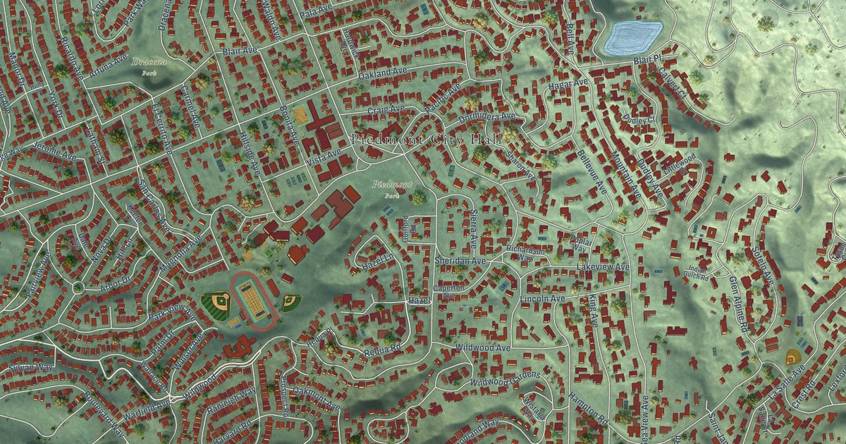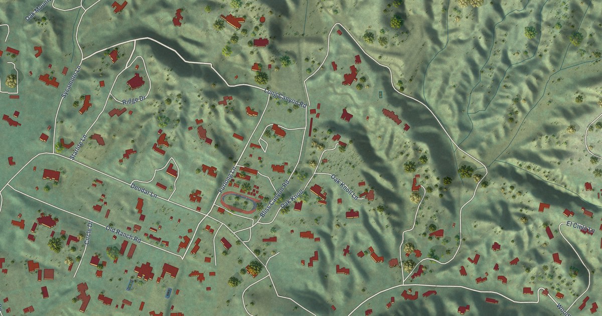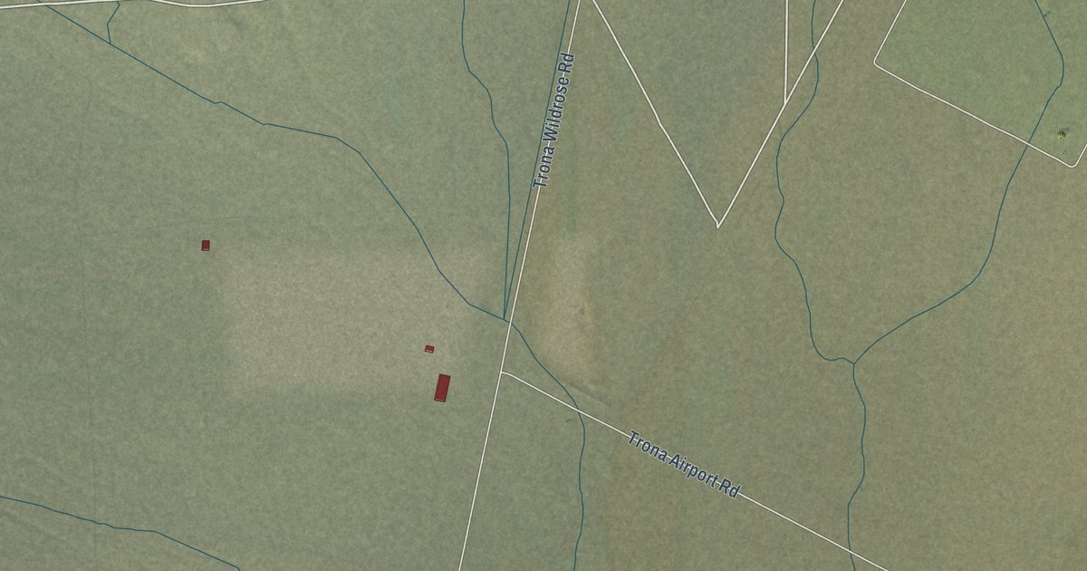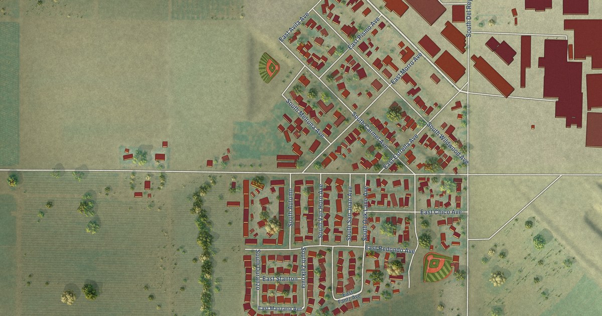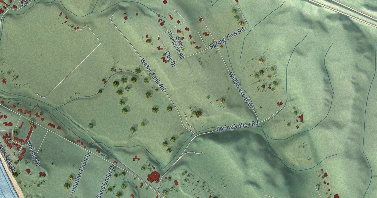
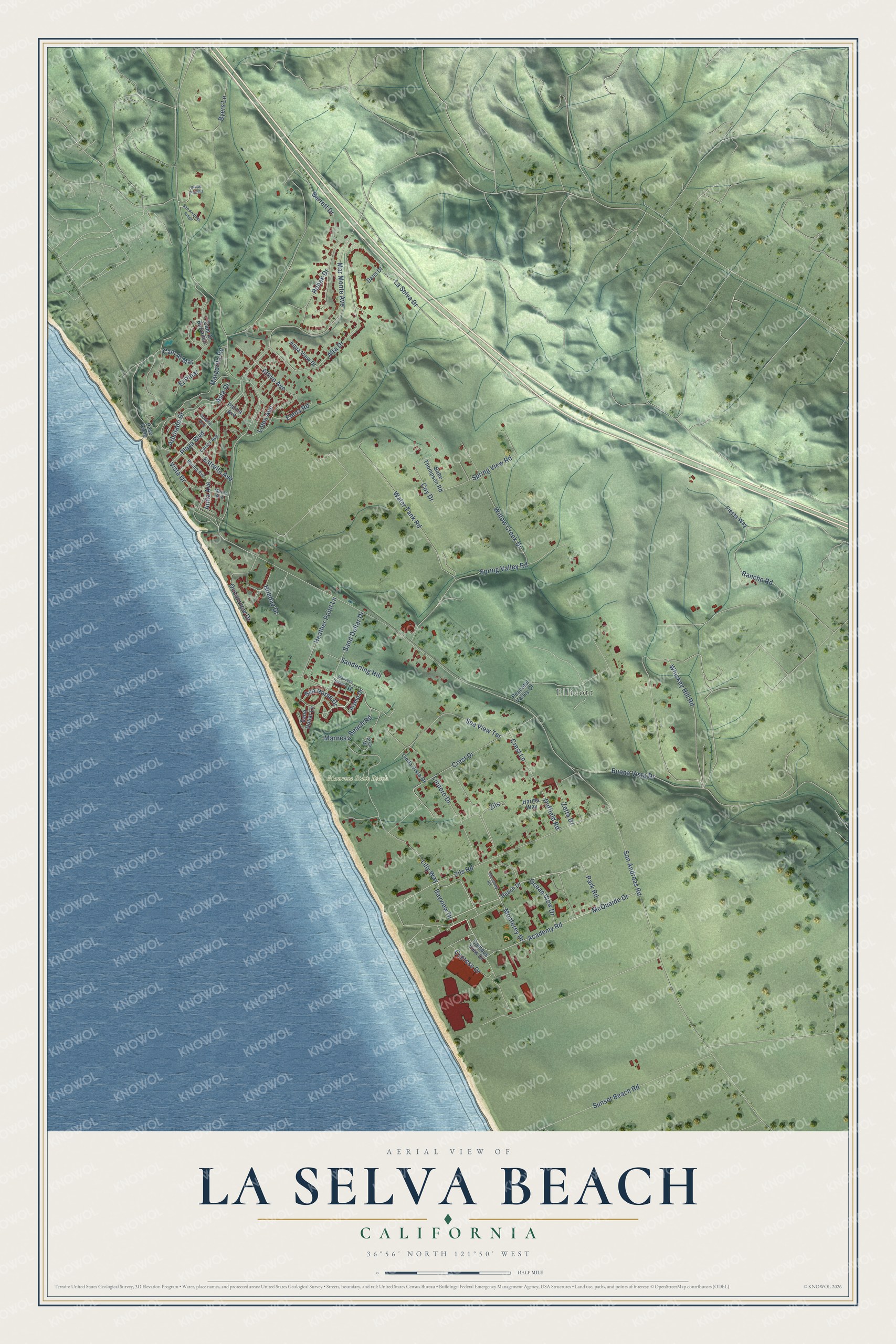
This beautifully detailed map of La Selva Beach, California was created in 2026 using aerial imagery combined with modern topographical, census, street and landmark data. It's a modern aerial view of La Selva Beach in Santa Cruz County, California, that combines modern data with a vintage aesthetic. The roads feature printed names, and if you look closely you can find your exact house accurately shown in its correct location.
Explore an aerial view of La Selva Beach, California
On this map you'll find Ellicott, Manresa State Beach, Playa Boulevard, Crest Drive, Whiskey Hill Road, Mar Monte Avenue, Sea View Terrace, La Selva Drive, Duffield Road, San Andreas Road, Alta Drive, Spring Valley Road, and more. Each red shape is a building, so zoom in on the preview and look for yours.
La Selva Beach is a community in Santa Cruz County. The Census Bureau counted 2,531 people here in 2020. La Selva Beach sits about 3 miles south of Aptos Hills-Larkin Valley, 3 miles west of Freedom and 3 miles southeast of Rio del Mar. The map prints the town name in its title panel, with the coordinates below it.
Take a closer look at the La Selva Beach map
Names on this map
These names are printed on this map.
Places: Ellicott and Manresa State Beach.
Streets and roads: Playa Boulevard, Crest Drive, Whiskey Hill Road, Mar Monte Avenue, Sea View Terrace, La Selva Drive, Duffield Road, San Andreas Road, Alta Drive, Spring Valley Road, Margarita Road, Zils Road.
More street names, A to Z
Academy Road, Altivo Avenue, Anita Avenue, Aqua View Drive, Arbolado Drive, Arca Drive, Asta Drive, Babe Thompson Road, Barrett Drive, Bayview Drive, Beach Drive, Benito Avenue, Buena Vista Drive, Byers Lane, Cam Al Barranco, Cam Al Mar, Campus View Drive, Carlos Avenue, Cll de Peasha, Coy Drive, Crest Lane, Cypress Drive, Dans Drive, Elena Road, El Pinar, Estrella Avenue, Fiesta Way, Harms Way, Heather Point Lane, Holiday Drive, Lilly Way, Linda Vista Drive, Lindero Drive, Loma Avenue, Manresa Beach Road, Manresa Uplands Road, Marea Avenue, McQuaide Drive, Monterey Drive, Monterey Road, Oceanview Drive, Ocean View Drive, Palma Avenue, Park Road, Paso Cielo, Peaceful Valley Drive, Pismo Drive, Rancho Road, Robak Drive, San Andreas Ridge, Sand Dollar Drive, Sand Dollar Lane, Sanderling Hill, Sea Horse Drive, Solano Avenue, Spring View Road, Sunset Beach Road, Vista Drive, Water Tank Road, Willow Creek Drive, Zetta Drive, Zils.
See it on a wall
The La Selva Beach map as a framed print. Swipe for more.


Created by KNOWOL in 2026. The buildings are small red shapes, the roads carry their printed names, and shaded relief shows the shape of the land. The title panel reads "AERIAL VIEW OF LA SELVA BEACH, CALIFORNIA" with 36°56' NORTH 121°50' WEST.
Hang it in the hallway, the office or the cabin, or give it to someone who left La Selva Beach and still calls it home. Open the preview and look for a street you know. See sizes and frames for the La Selva Beach map.