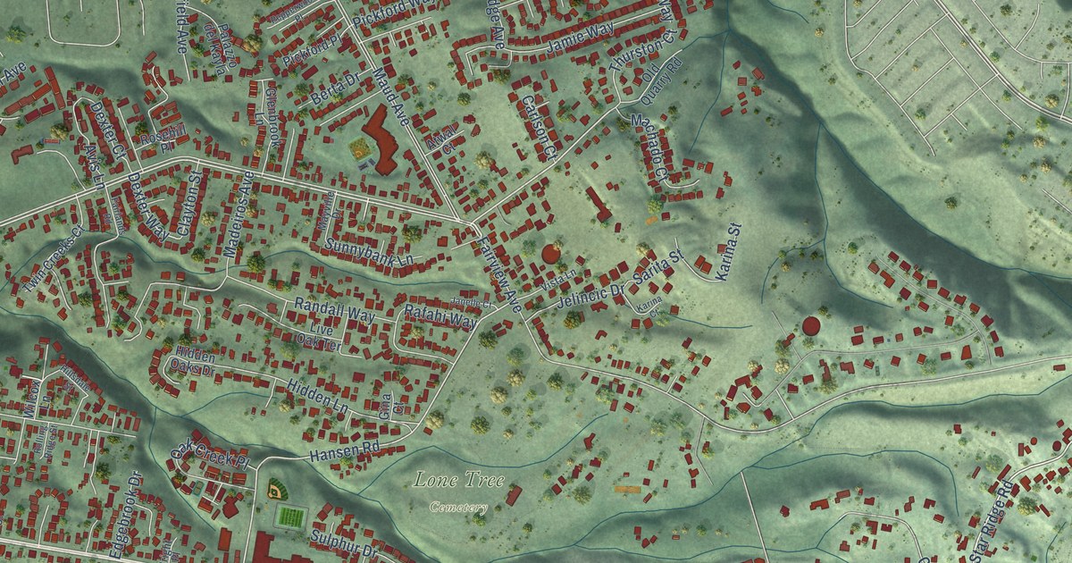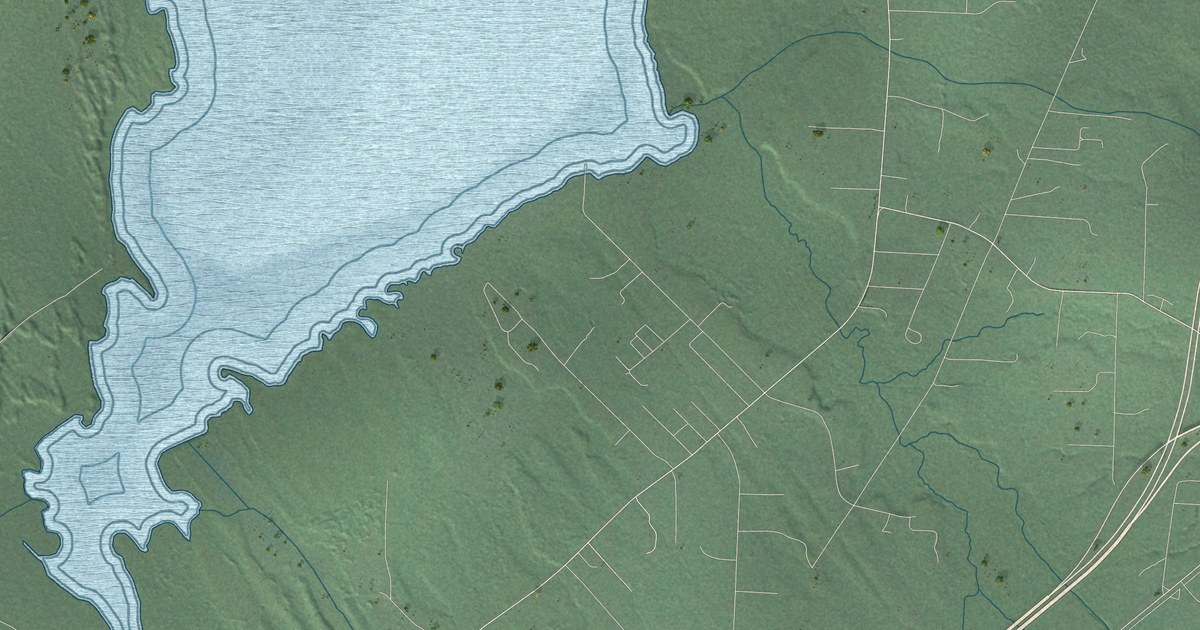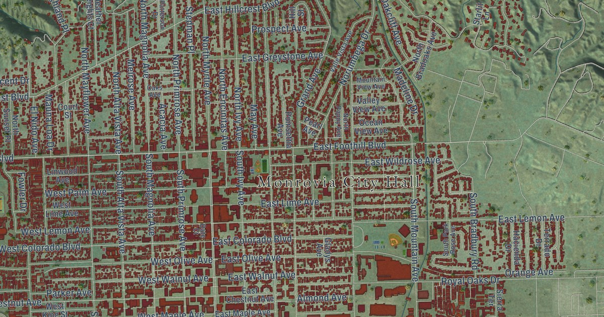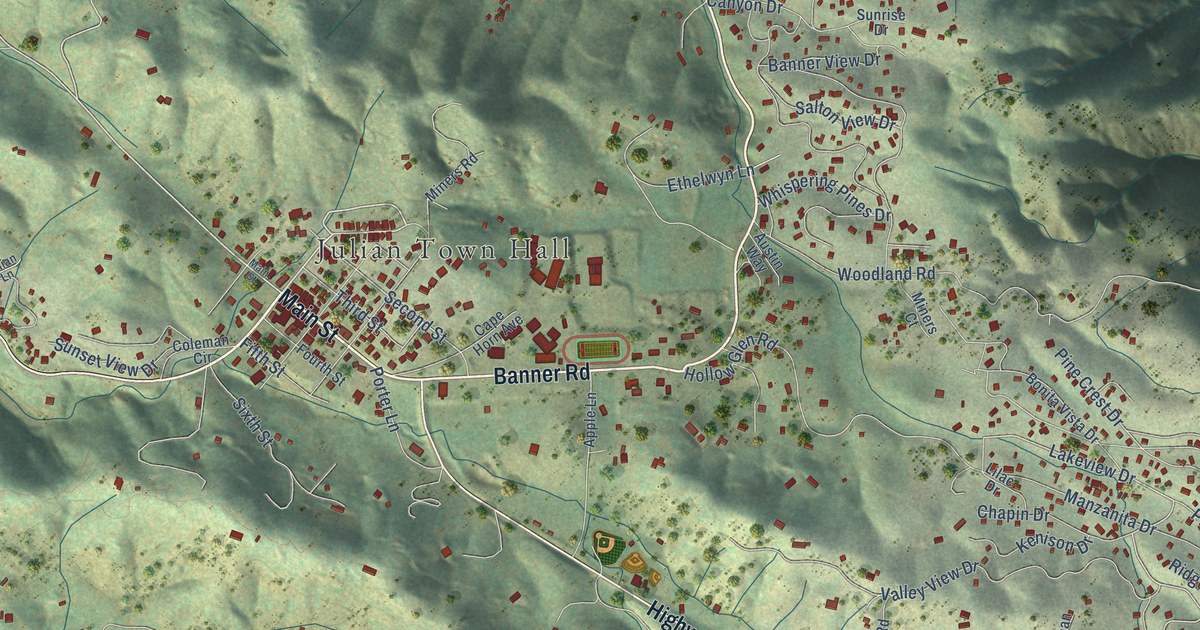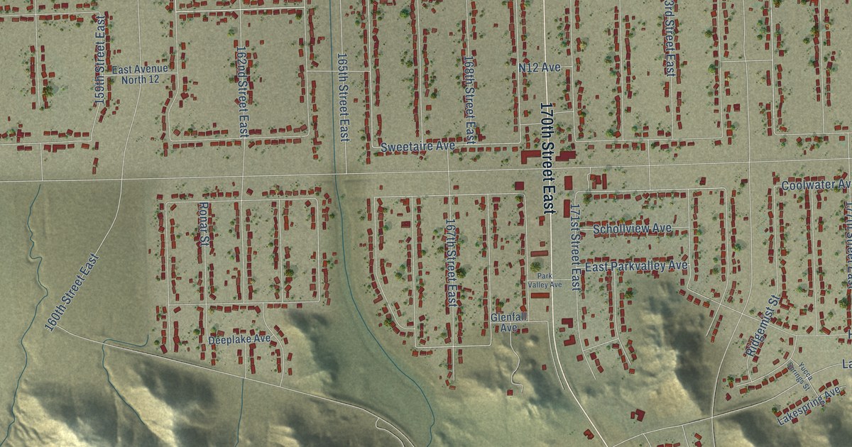
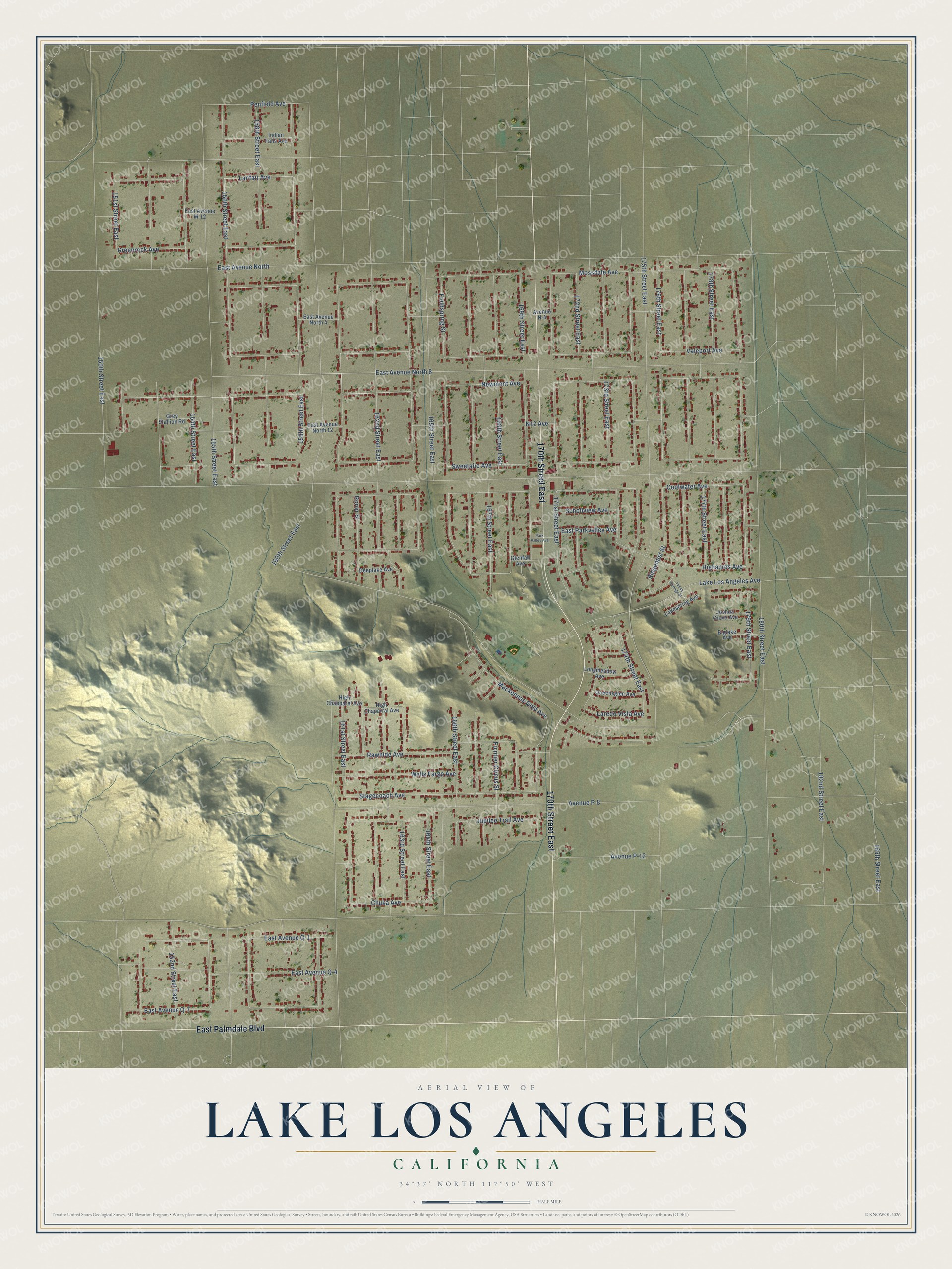
This beautifully detailed map of Lake Los Angeles, California was created in 2026 using aerial imagery combined with modern topographical, census, street and landmark data. It's a modern aerial view of Lake Los Angeles in Los Angeles County, California, that combines modern data with a vintage aesthetic. The roads feature printed names, and if you look closely you can find your exact house accurately shown in its correct location.
Explore an aerial view of Lake Los Angeles, California
On this map you'll find 170th Street East, East Palmdale Boulevard, Newmont Avenue, 159th Street East, 156th Street East, Lanfair Avenue, 154th Street East, East Avenue Q-1, 179th Street East, Mossdale Avenue, Coolwater Avenue, 176th Street East, and more. Each red shape is a building, so zoom in on the preview and look for yours.
Lake Los Angeles is a community in Los Angeles County. The Census Bureau counted 13,187 people here in 2020. The map prints the town name in its title panel, with the coordinates below it.
Take a closer look at the Lake Los Angeles map
Names on this map
These names are printed on this map.
Streets and roads: 170th Street East, East Palmdale Boulevard, Newmont Avenue, 159th Street East, 156th Street East, Lanfair Avenue, 154th Street East, East Avenue Q-1, 179th Street East, Mossdale Avenue, Coolwater Avenue, 176th Street East.
More street names, A to Z
150th Street East, 151st Street East, 152nd Street East, 155th Street East, 158th Street East, 160th Street East, 161st Street East, 162nd Street East, 163rd Street East, 164th Street East, 165th Street East, 166th Street East, 167th Street East, 168th Street East, 169th Street East, 171st Street East, 172nd Street East, 173rd Street East, 174th Street East, 175th Street East, 177th Street East, 178th Street East, 180th Street East, 182nd Street East, 185th Street East, Avenue N-4, Avenue P-8, Avenue P-12, Biglake Avenue, Chuka Avenue, Deeplake Avenue, East Avenue M-12, East Avenue North, East Avenue North 4, East Avenue North 8, East Avenue North 12, East Avenue Q-4, East Avenue Q-7, East Parkvalley Avenue, Fieldspring Street, Frontier Circus Street, Glenfall Avenue, Greenrock Avenue, Grey Stallion Road, Highacres Avenue, High Chaparral Avenue, High Chapparel Avenue, Indian Falls Avenue, Joshua Grove Avenue, Jubilee Trail Avenue, Lake Los Angeles Avenue, Lakespring Avenue, Laredo Vista Avenue, Longmeadow Avenue, Mackennas Gold Avenue, N12 Avenue, Park Valley Avenue, Penfield Avenue, Queensglen Avenue, Rawhide Avenue, Ridgemist Street, Ronar Street, Schollview Avenue, Stagecoach Avenue, Sweetaire Avenue, Valeport Avenue, Wells Fargo Avenue, Yucca Springs Street.
Created by KNOWOL in 2026. The buildings are small red shapes, the roads carry their printed names, and shaded relief shows the shape of the land. The title panel reads "AERIAL VIEW OF LAKE LOS ANGELES CALIFORNIA" with 34°37' NORTH 117°50' WEST.
Hang it in the hallway, the office or the cabin, or give it to someone who left Lake Los Angeles and still calls it home. Open the preview and look for a street you know. See sizes and frames for the Lake Los Angeles map.