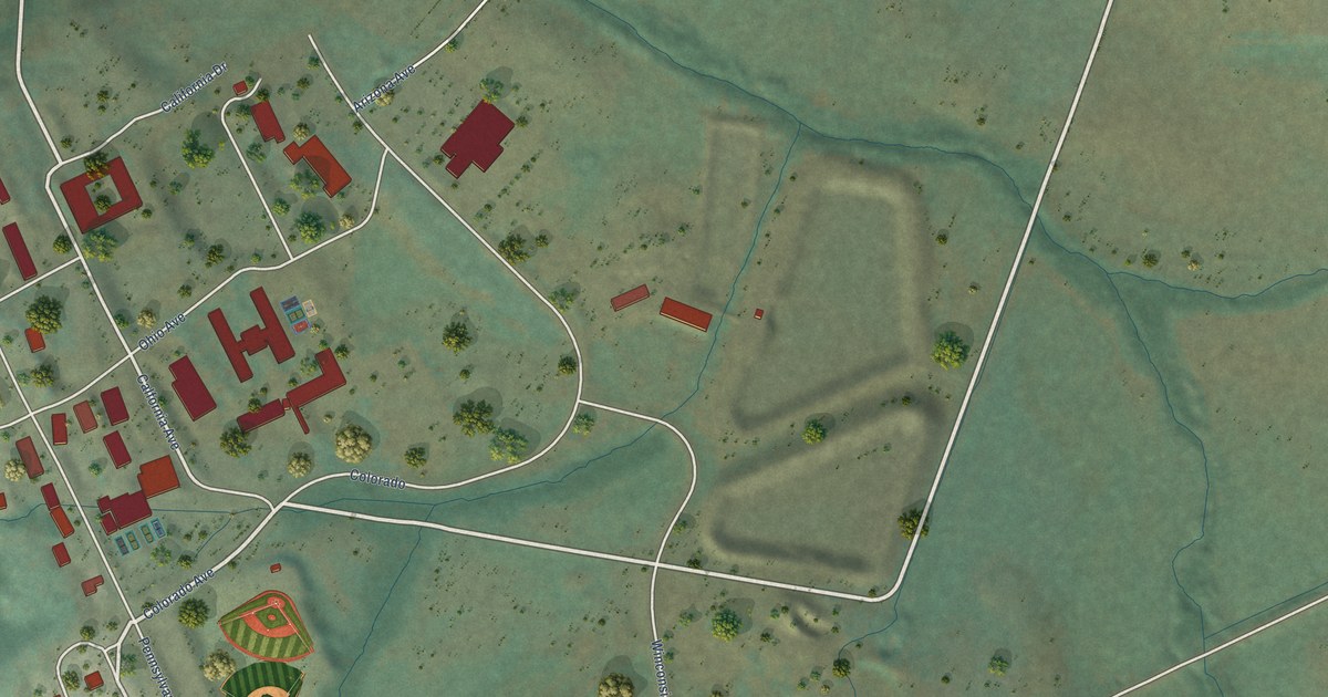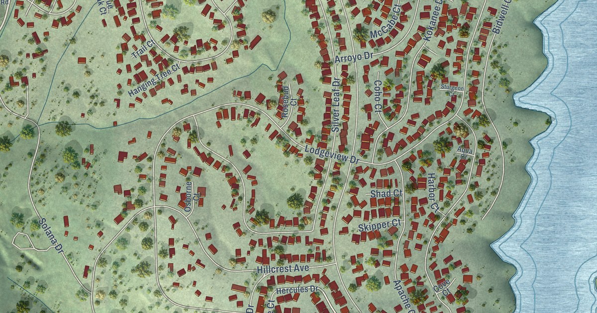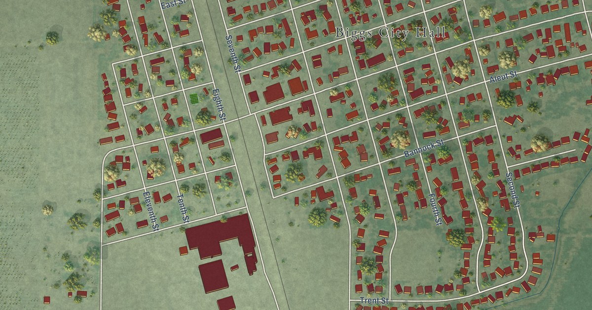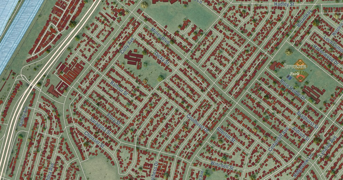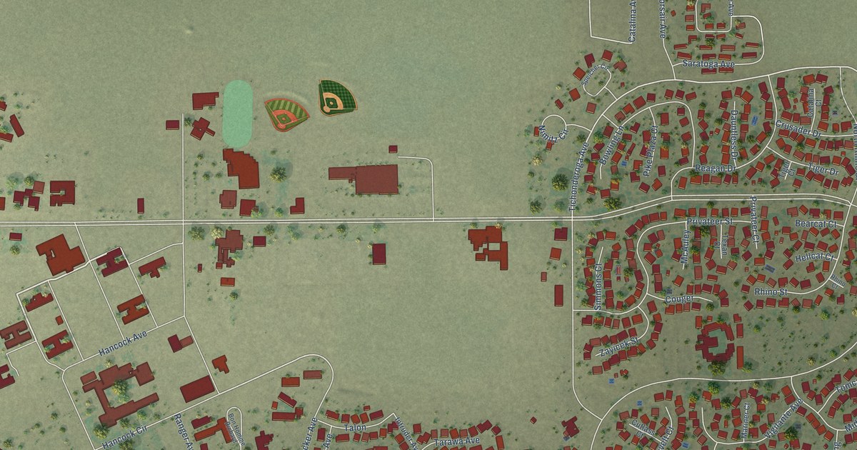
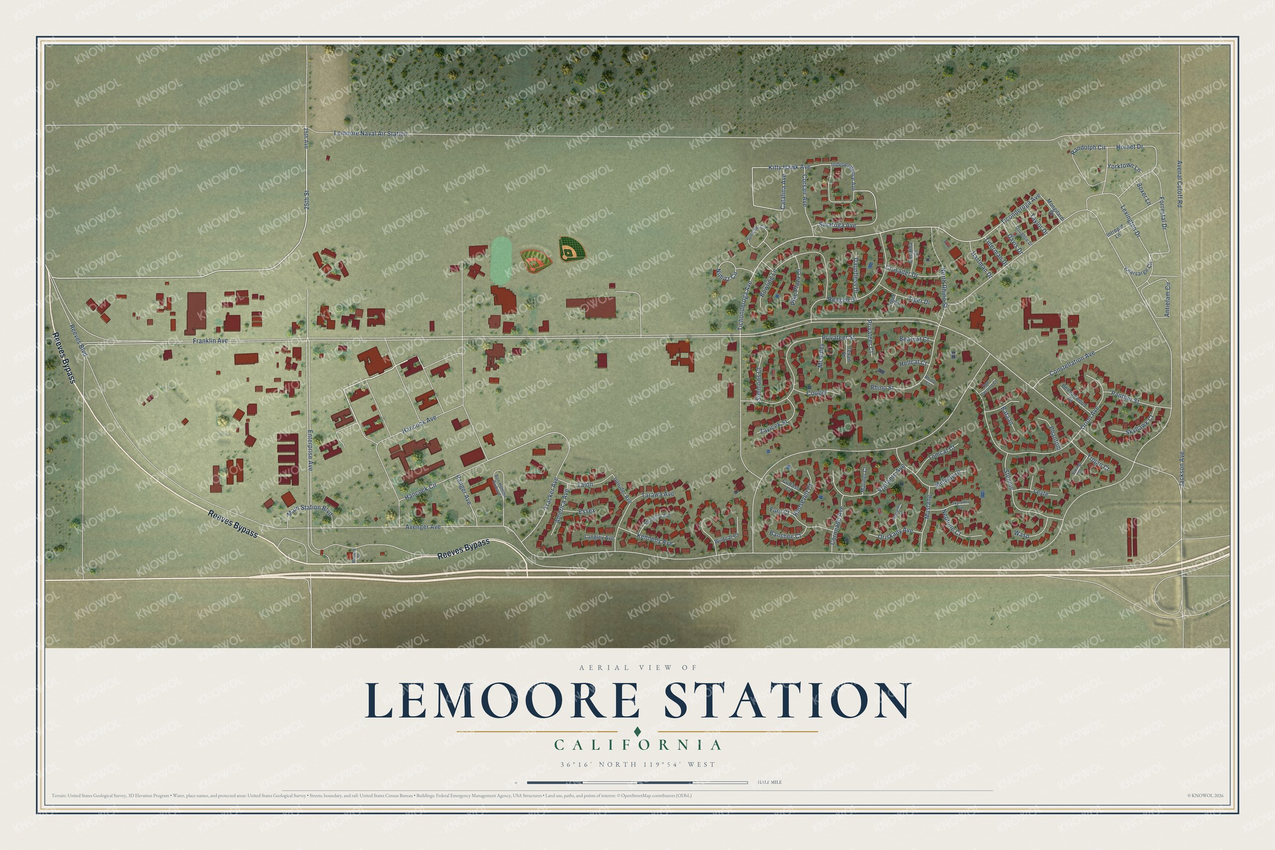
This beautifully detailed map of Lemoore Station, California was created in 2026 using aerial imagery combined with modern topographical, census, street and landmark data. It's a modern aerial view of Lemoore Station in Kings County, California, that combines modern data with a vintage aesthetic. The roads feature printed names, and if you look closely you can find your exact house accurately shown in its correct location.
Explore an aerial view of Lemoore Station, California
On this map you'll find Reeves Bypass, Enterprise Avenue, Ticonderoga Avenue, Tichonderoga Avenue, Hancock Circle, Kitty Hawk Avenue, Jackson Avenue, Franklin Avenue, Avenger Avenue, Reeves Boulevard, Avenal Cutoff Road, Hancock Avenue, and more. Each red shape is a building, so zoom in on the preview and look for yours.
Lemoore Station is a community in Kings County. The Census Bureau counted 6,568 people here in 2020. Lemoore Station sits about 7 miles northwest of Stratford, 11 miles east of Huron and 12 miles west of Armona. The map prints the town name in its title panel, with the coordinates below it.
Take a closer look at the Lemoore Station map
Names on this map
These names are printed on this map.
Streets and roads: Reeves Bypass, Enterprise Avenue, Ticonderoga Avenue, Tichonderoga Avenue, Hancock Circle, Kitty Hawk Avenue, Jackson Avenue, Franklin Avenue, Avenger Avenue, Reeves Boulevard, Avenal Cutoff Road, Hancock Avenue.
More street names, A to Z
25th Avenue, 25th Street, America Avenue, Antietam Circle, Banshee Court, Bataan, Bearcat Court, Belleauwood Street, Bon Homme Richard, Bowling Lane, Boxer Lane, Catalina Avenue, Catalina Court, Constellation Avenue, Coronado Avenue, Corsair Avenue, Couger, Crusader Drive, Cutlass Court, Dauntless Drive, Davis Drive, Doughtie Drive, Essex, Forrestal Drive, Fury Court, Hartman Drive, Hellcat Court, Hornet Drive, Independence Avenue, Intrepid Lane, Intruder Avenue, Kearsarge Circle, Kennedy Avenue, Langley Avenue, Lemoore Naval Air Station, Lexington Drive, Leyte, Main Station Boulevard, Mariner Court, McAuley, Midway Court, Mongilardi Drive, Mustang, Mustang Street, Neptune Court, Nimitz Circle, North Rhino Street, Orion Avenue, Oriskany Avenue, Panther Street, Phantom, Pike Plaza Court, Privateer Court, Privateer Street, Randolph Circle, Ranger Avenue, Reagan Drive, Rhino Court, Rhino Street, Roosevelt Court, San Jacinto Court, Saratoga Avenue, Shangrila Avenue, Simmons Court, Skyhawk Court, Skyraider Avenue, Skyraider Court, Speicher Circle, Stennis, Talon, Tarawa Avenue, Taylor Drive, Texan Court, Tiderman Drive, Tiger Court, Tiger Drive, Tomcat Court, Tracker Avenue, Trojan Court, Vigilante Avenue, Viking Court, Wasp, Wildcat Court, Yorktown Lane, Zayicek Street.
See it on a wall
The Lemoore Station map as a framed print. Swipe for more.


Created by KNOWOL in 2026. The buildings are small red shapes, the roads carry their printed names, and shaded relief shows the shape of the land. The title panel reads "AERIAL VIEW OF LEMOORE STATION, CALIFORNIA" with 36°16' NORTH 119°54' WEST.
It looks right in a kitchen, an office or a den, and it's a gift for anyone who grew up in Lemoore Station or moved away. Open the preview and find your street. See sizes and frames for the Lemoore Station map.