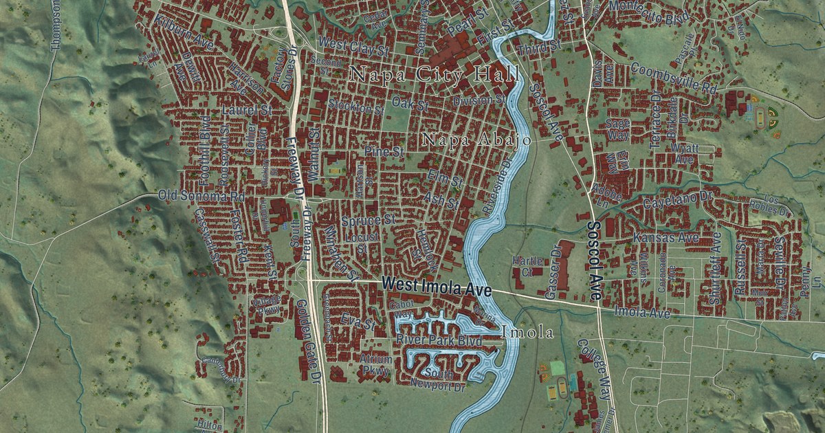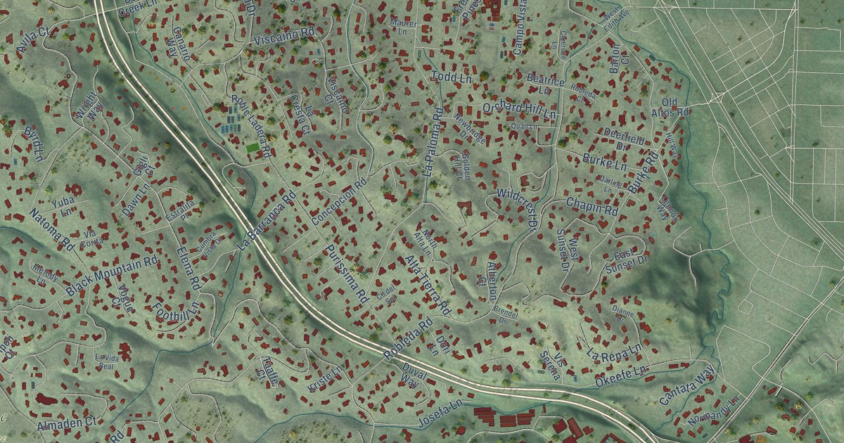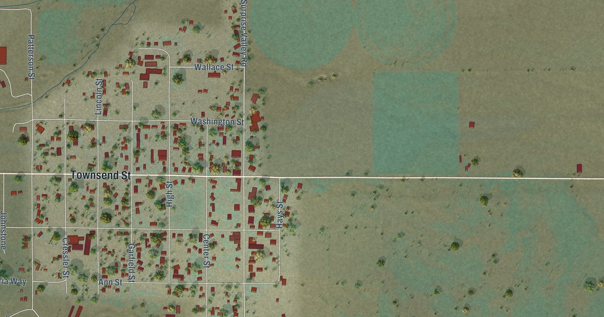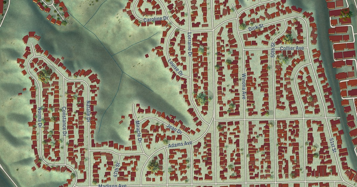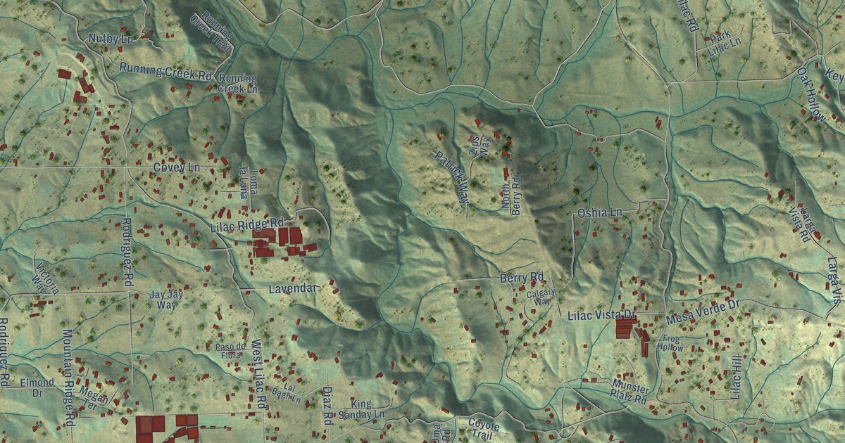
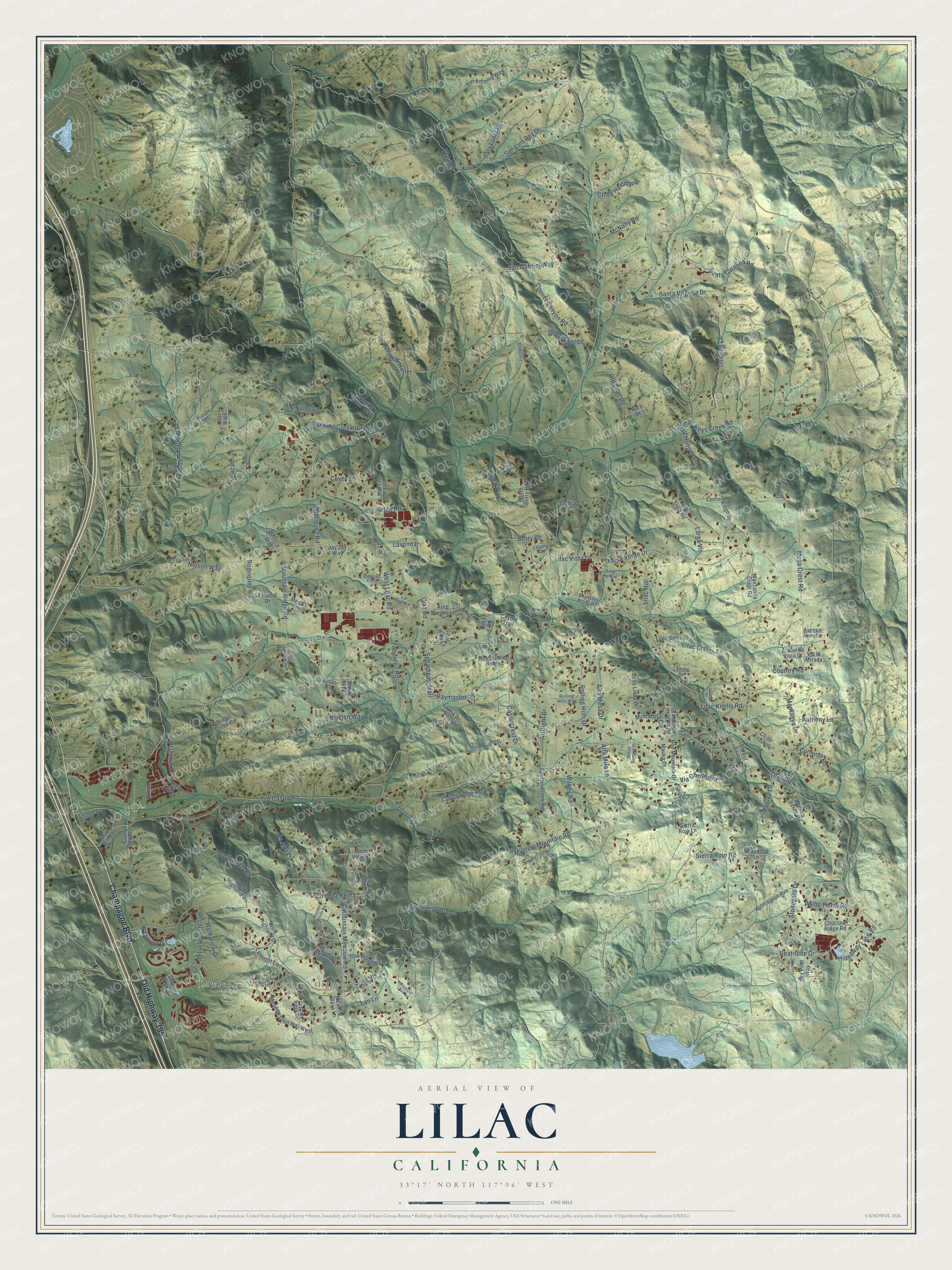
This beautifully detailed map of Lilac, California was created in 2026 using aerial imagery combined with modern topographical, census, street and landmark data. It’s a one-of-a-kind view of Lilac that combines accurate data with a vintage aesthetic. The map shows every building in its true location, many of the roads carry their names, and the shaded topographic relief shows the shape of the land.
Explore an aerial view of Lilac, California
On the map you’ll find Lawrence Welk Resort Village and Cll de la Reina, along with Old Highway 395, Champagne Boulevard, San Gabriel Way, Keys Creek Road, Old Castle Road, West Lilac Road, Lilac Road, Santa Catalina Road, Santa Virginia Drive, Gordon Hill Road, and more. If you look closely you can even find your house accurately drawn in its correct location. Zoom in on the preview to look for yours.
Did You Know?
From Internet Archive: "By far the handsomest variety is C. thyrsiflorus, or the California Lilac, discovered and named by the Russian botanist Eschscholtz."
Lilac is a community in San Diego County.
Take a closer look at the Lilac map
Names on this map
These names are printed on this map.
Places: Lawrence Welk Resort Village.
Streets and roads: Old Highway 395, Champagne Boulevard, San Gabriel Way, Keys Creek Road, Old Castle Road, Cll de la Reina, West Lilac Road, Lilac Road, Santa Catalina Road, Santa Virginia Drive, Gordon Hill Road, Welk View Drive.
More street names, A to Z
Airflight Drive, Alta Mesa Drive, Alta Mira Lane, Andreen Road, Anthony Lane, Arboleda Vista Drive, Avenue Annalie, Beatitude Drive, Bella Linda Drive, Berry Road, Boulder Knolls Road, Brienwood Drive, Calgary Way, Canyon Country Lane, Castlecrest Drive, Castle Heights Drive, Castleridge Road, Castle View Drive, Cedar Trails Lane, Choctaw Ridge Road, Cielo Vis, Cll Codorniz, Cll de Ensueno, Cll de Halcones, Cll Oro Verde, Costalota Road, Coulter Creek Road, Country Road, Couser Canyon Road, Covey Lane, Coyote Trail, Crystal Ridge Drive, Cumbres Road, Dendy Sky Lane, Diaz Road, Dowling Lane, Elmond Drive, Fairway Pine Place, Frog Hollow, Fry Lane, Gracilior Drive, Grandview Heights Road, Hideaway Lake Road, Incredible Lane, Indian Hill Road, Jason Court, Jay Jay Way, King Sanday Lane, Kristen Way, Lal Bagh Lane, Lan Lane, Larga Vis, Larga Vista Road, Laurel Ridge Drive, Lavendar, Lawrence Welk Drive, Leisure Lane, Lenine Drive, Lennie Drive, Lennon Lane, Lilac Crst, Lilac Hill, Lilac Hills Lane, Lilac Knolls Road, Lilac Oaks, Lilac Place, Lilac Ridge Road, Lilac Vista Drive, Lilac Walk, Loma la Luna, Manzanita Crest Road, Mauka Drive, McNally Road, Meadow Glen Way West, Meadow Mesa Drive, Meadow Mesa Lane, Megan Terrace, Mesa Crest Road, Mesa Verde Drive, Minneola Circle, Montanya Drive, Mountain Lilac Road, Mountain Meadow Road, Mountain Ridge Road, Munster Platz Road, Mystery Mountain Road, Nelson Way, North Berry Road, North View Court, North View Lane, Nutby Lane, Oak Hollow, Oak Ridge Road, Old Lilac Road, Old Oak Holler, Oma Road, Oshia Lane, Pala Loma Drive, Palos Tierra Road, Pamoosa Lane, Park Lilac Lane, Paso de Flora, Patrick Way, Paymaster Road, Pfau Road, Platanus Drive, Putnam Road, Red Canyon Drive, Red Hawk Road, Red Mountain Drive, Resort Summit Drive, Ridge Creek Road, Roadrunner Ridge, Robles Lane, Robles Verde Road, Rodriguez Road, Rodriquez Road, Rolling Hills Drive, Rolling Hills Way, Running Creek Lane, Running Creek Road, Running Creek Trail, San Antonio Way, Sandy Hill Road, San Luis Rey Drive, Shirey Road, Shirley Road, Sierra Rojo Lane, Sierra Rojo Road, Sky Pilot Way, Spearhead Trail, Spyglass Trail, Stonegate Drive, Stone Summit Drive, Tobira Drive, Via Campestre, Via del Sauce, Via del Venado, Via la Mirada, Victoria Way, Vis Aleta, Vis Montanoso, Welk Highland Drive, Welk Highland Lane, Wilkes Road, Wilmington Avenue, Zips Way.
See it on a wall
The Lilac map as a framed print. Swipe for more.


This beautifully detailed map of Lilac makes an attractive addition to your office, library, or den, and it can even be used to teach children the geography and history of the area. It also makes a great gift for anyone with Lilac roots. When you’re done exploring, click here to get your copy of the Lilac map.