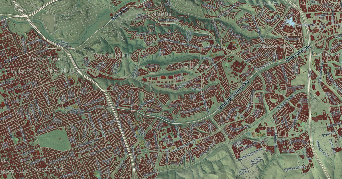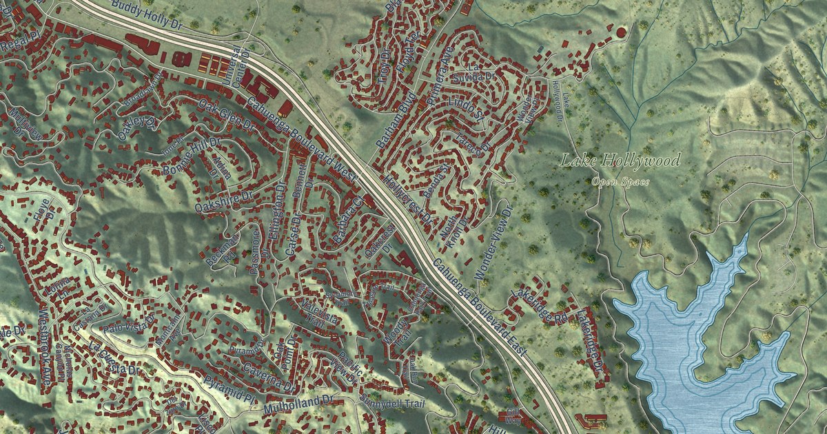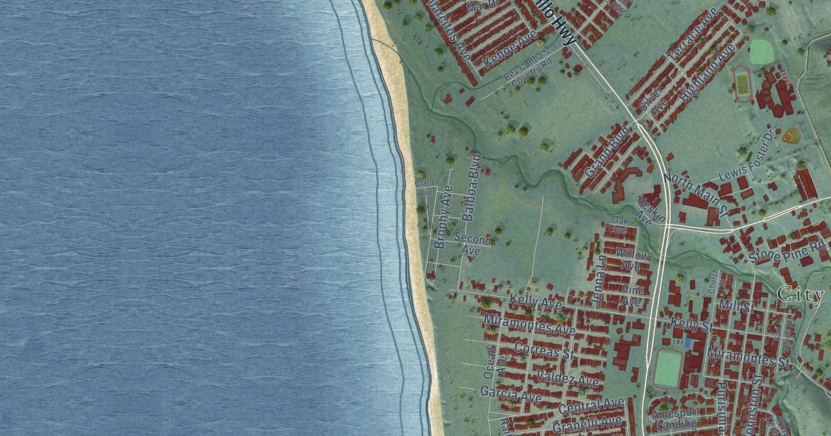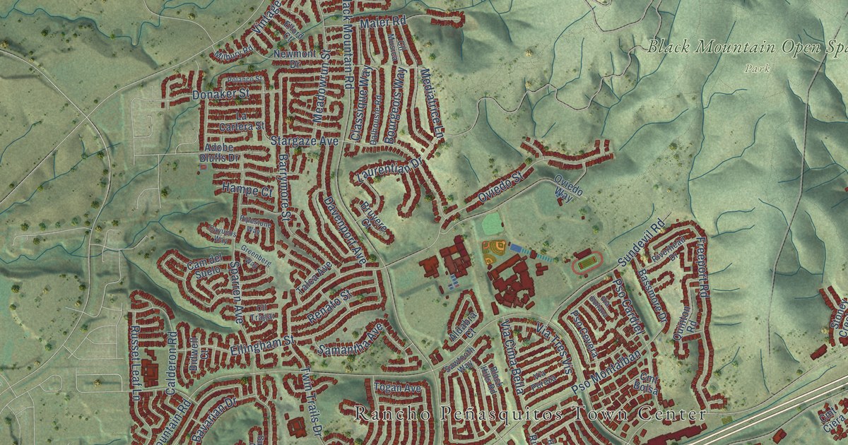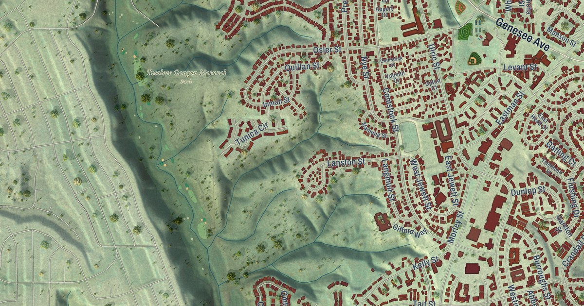
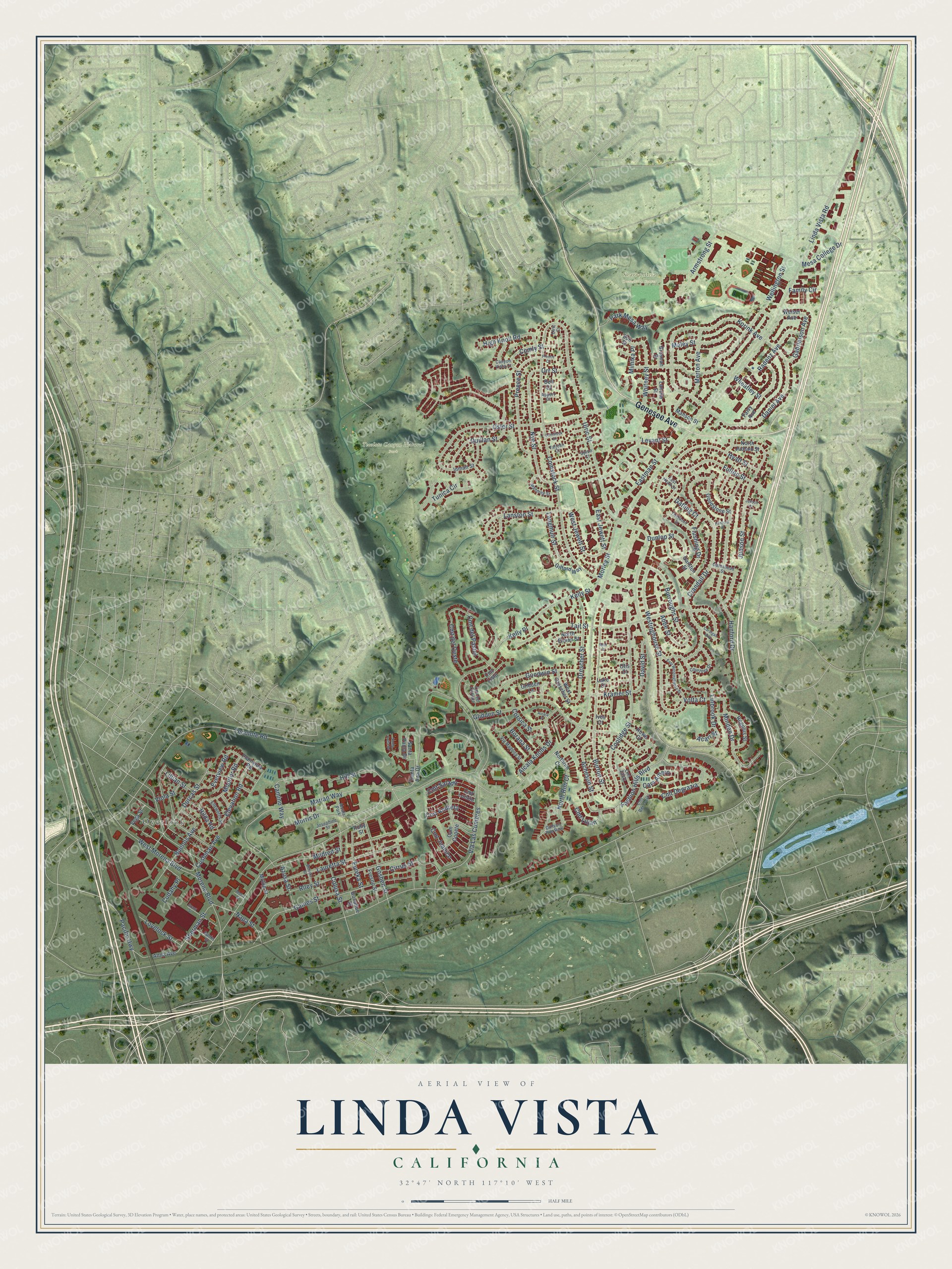
This beautifully detailed map of Linda Vista, California was created in 2026 using aerial imagery combined with modern topographical, census, street and landmark data. It's a modern aerial view of Linda Vista in San Diego County, California, that combines modern data with a vintage aesthetic. The roads feature printed names, and if you look closely you can find your exact house accurately shown in its correct location.
Explore an aerial view of Linda Vista, California
On this map you'll find Overlook, Kearny Mesa Recreation Center, Tecolote Canyon Natural Park, Genesee Avenue, Cmt del Pastel, Ulric Street, Daniel Avenue, Morris Drive, Cmt Andreta, Marian Way, Morena Boulevard, Mildred Street, and more. Each red shape is a building, so zoom in on the preview and look for yours.
Linda Vista has a story worth telling. The Spanish and Indian Place Names puts it this way: "Linda Vista (charming or pretty view), is the name of a place ten or twelve miles due north of San Diego."
Linda Vista is a place in San Diego County.
Take a closer look at the Linda Vista map
Names on this map
These names are printed on this map.
Places: Overlook, Kearny Mesa Recreation Center, Tecolote Canyon Natural Park and Alcala Park.
Streets and roads: Genesee Avenue, Cmt del Pastel, Ulric Street, Daniel Avenue, Morris Drive, Cmt Andreta, Marian Way, Morena Boulevard, Mildred Street, Quillan Street, Linda Vista Road, Via Las Cumbres.
More street names, A to Z
Abbe Street, Acari Street, Acheson Street, Alcala Knolls Drive, Alcala Place, Anna Avenue, Appert Court, Armstrong Street, Azusa Street, Banks Street, Bell Court, Benicia Street, Borana Street, Brosnan Street, Buenos Avenue, Burroughs Street, Burton Street, Cam Amero, Cam Copete, Camino Way, Canyon Rim Row, Canyon Vista Court, Cardigan Way, Cirrus Street, Cmt Berdecio, Cmt Degrazia, Cmt del Cervato, Cmt del Oeste, Cmt Juanico, Cmt Listo, Cmt Luisito, Cmt Lujan, Cmt Salado, Cmt Zalce, Colusa Street, Comly Street, Comstock Court, Comstock Street, Coolidge Street, Corsica Street, Courtney Drive, Crandall Drive, Cudahy Place, Cushman Avenue, David Street, Donahue Street, Dorcas Street, Drescher Street, Dunlop Street, East Hyatt Street, East Jewett Street, Eastman Street, East Westinghouse Street, Elevation Road, Ellsworth Street, Eureka Street, Everview Road, Falvy Avenue, Family Circle, Fashion Hills Boulevard, Fleetwood Street, Flushing Drive, Fresno Street, Fulton Street, Gabrielson Avenue, Gaines Street, Garston Street, Gateshead Street, Gatling Court, Gifford Way, Glidden Lane, Glidden Street, Goodstone Street, Goodwin Street, Goshen Street, Grant Street, Hanford Drive, Hanford Place, High Knoll Road, Hilda Road, Hill Street, Howe Court, Hyatt Street, Inman Street, Ives Court, Josephine Street, Judson Court, Judson Street, Kelly Place, Kelly Street, Korink Avenue, Kramer Street, Lake Court, Lancha Street, Langmuir Street, Lanston Street, Lauretta Street, Levant Street, Lillian Street, Linbrook Drive, Lovelock Street, Maley Street, Manning Street, Manson Street, Merton Avenue, Mesa College Drive, Metro Street, Mimika Place, Minden Drive, Mollie Street, Monitor Road, Morley Street, Napa Street, North Elman Street, North Judson Street, North Rim Court, Northrim Court, Nye Street, Orr Street, Osler Street, Otis Court, Pacific Highway, Park Mesa Way, Plainview Road, Preece Court, Preece Street, Radenz Avenue, Regulus Street, Rico Court, Riley Street, Ruby Street, Santa Ana Drive, Santa Anita Drive, Santa Paula Drive, Sherman Street, Sun Street, Tait Street, Tecolote Road, Tunica Circle, Ulric Court, Upton Court, Valjean Court, Vega Street, Via Madrina Street, Viola Street, Volta Court, Weiser Avenue, Wellington Street, West Drescher Street, Westinghouse Street, West Jewett Street, West Morena Boulevard, Wheatley Street, Whitney Street.
Created by KNOWOL in 2026. The buildings are small red shapes, the roads carry their printed names, and shaded relief shows the shape of the land. The title panel reads "AERIAL VIEW OF LINDA VISTA CALIFORNIA" with 32°47' NORTH 117°10' WEST.
It looks right in a kitchen, an office or a den, and it's a gift for anyone who grew up in Linda Vista or moved away. Open the preview and find your street. See sizes and frames for the Linda Vista map.