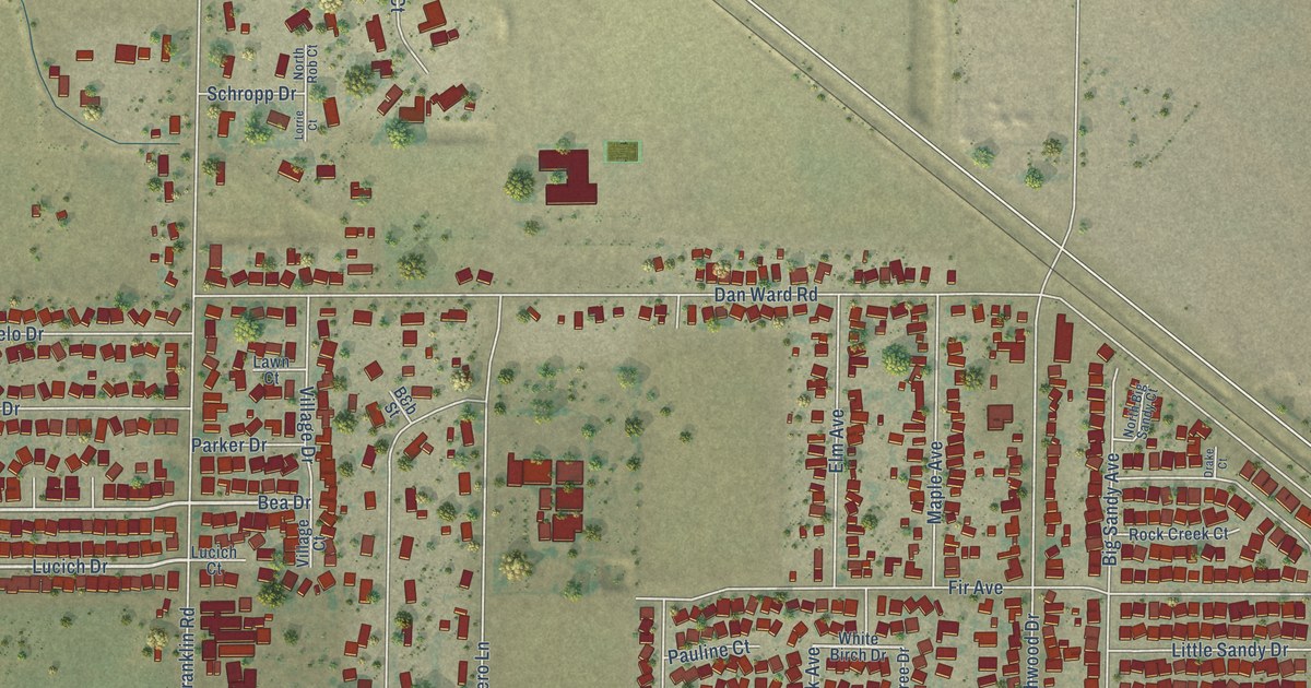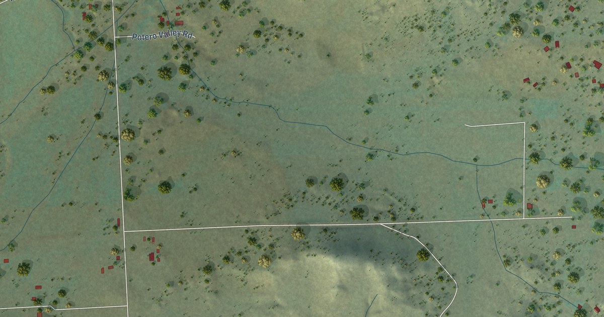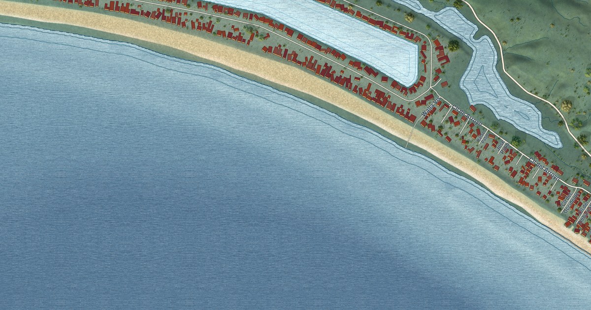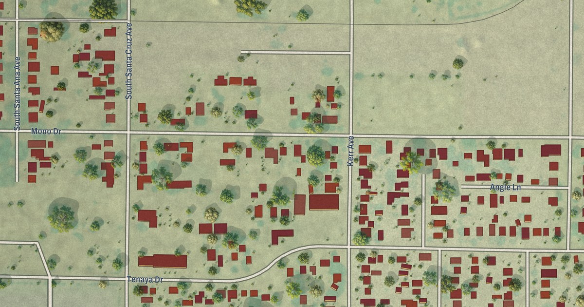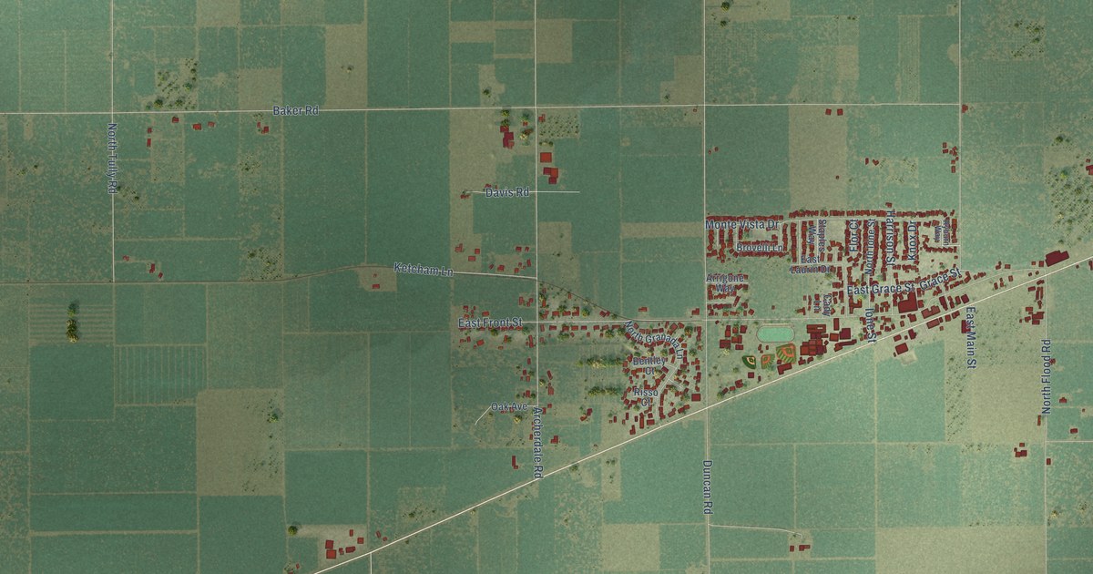
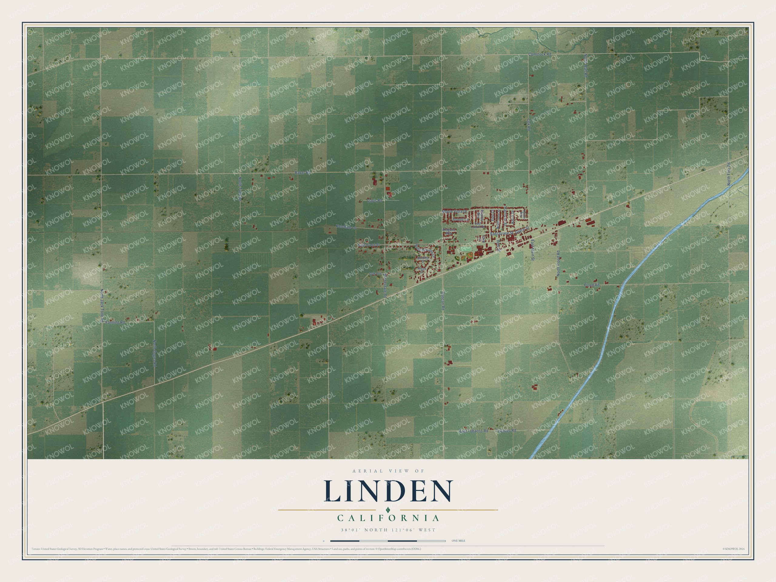
This beautifully detailed map of Linden, California was created in 2026 using aerial imagery combined with modern topographical, census, street and landmark data. It's a modern aerial view of Linden in San Joaquin County, California, that combines modern data with a vintage aesthetic. The roads feature printed names, and if you look closely you can find your exact house accurately shown in its correct location.
Explore an aerial view of Linden, California
On this map you'll find Comstock Road, Cox Road, Baker Road, Duncan Road, East Front Street, North Wall Road, Flood Road, Archerdale Road, East Tobacco Road, Tobacco Road, North Jack Tone Road, Monte Vista Drive, and more. Each red shape is a building, so zoom in on the preview and look for yours.
Linden has a story worth telling. Linden began in 1849 with a teamster named William Treblecock. Hauling freight to the mountain camps one winter, he got stuck in the mud on the Mokelumne Hill road, went looking for high ground and found it where Linden stands. That fall he built a public house there, the Fifteen Mile House, named for its distance from Stockton. By 1861 the little town had a hotel, three stores, a post office, a church, a school and a flour mill, and John Wasley suggested the name Linden. That's from the 1923 History of San Joaquin County.
Linden is a community in San Joaquin County. The Census Bureau counted 1,863 people here in 2020.
Take a closer look at the Linden map
Names on this map
These names are printed on this map.
Streets and roads: Comstock Road, Cox Road, Baker Road, Duncan Road, East Front Street, North Wall Road, Flood Road, Archerdale Road, East Tobacco Road, Tobacco Road, North Jack Tone Road, Monte Vista Drive.
More street names, A to Z
Arrigone Way, Bentley Court, Brovelli Lane, Cady Lane, Davis Road, East Grace Street, East Laurin Drive, East Main Street, Fanning Road, Flor Court, Grace Street, Harrison Street, Ione Street, Ketcham Lane, Knox Drive, North Fine Road, North Flood Road, North Gogna Road, North Granada Lane, North Ione Street, North Tully Road, Oak Avenue, Risso Court, Ryburn Way, Staples Way.
See it on a wall
The Linden map as a framed print. Swipe for more.


Created by KNOWOL in 2026. The buildings are small red shapes, the roads carry their printed names, and shaded relief shows the shape of the land. The title panel reads "AERIAL VIEW OF LINDEN, CALIFORNIA" with 38°01' NORTH 121°06' WEST.
It looks right in a kitchen, an office or a den, and it's a gift for anyone who grew up in Linden or moved away. Open the preview and find your street. See sizes and frames for the Linden map.