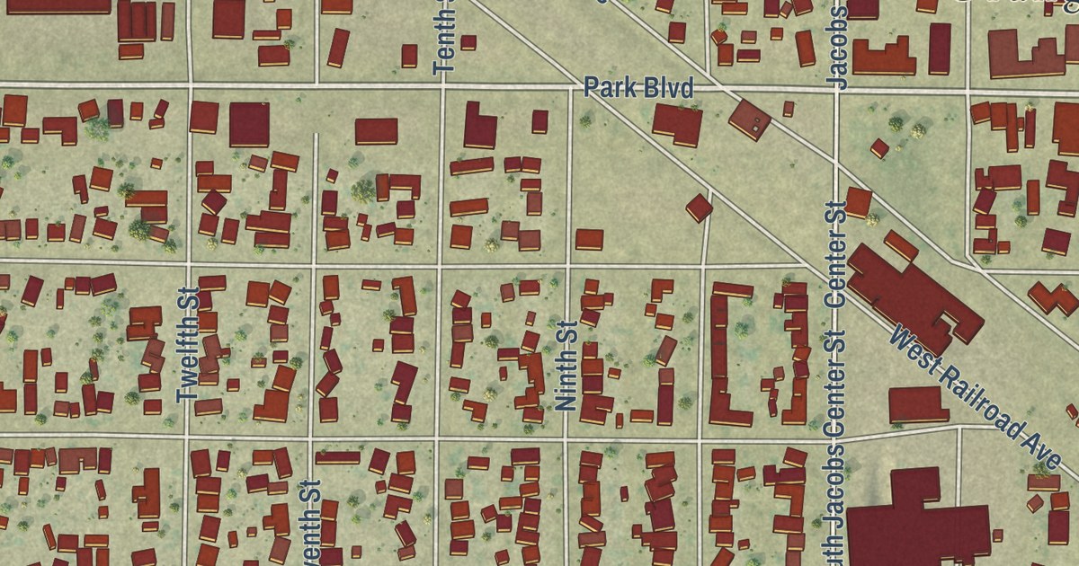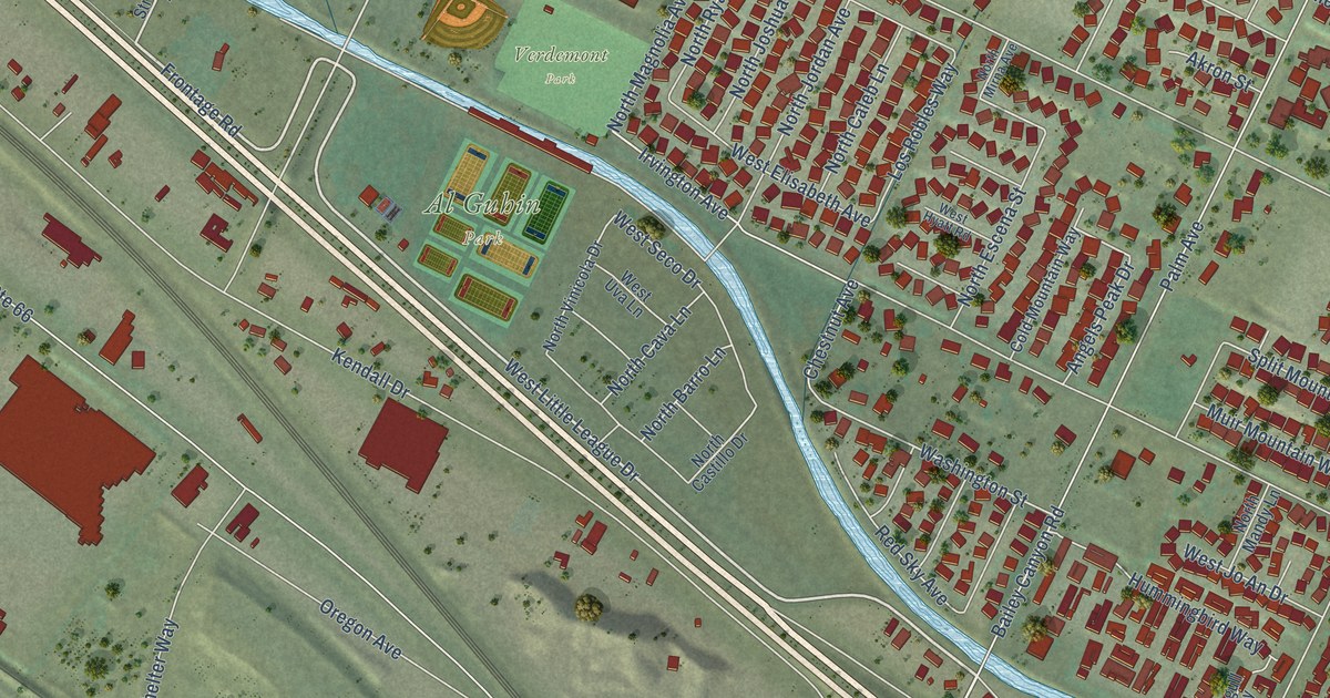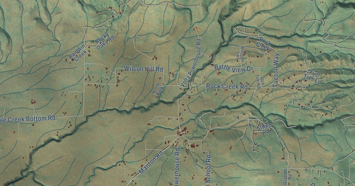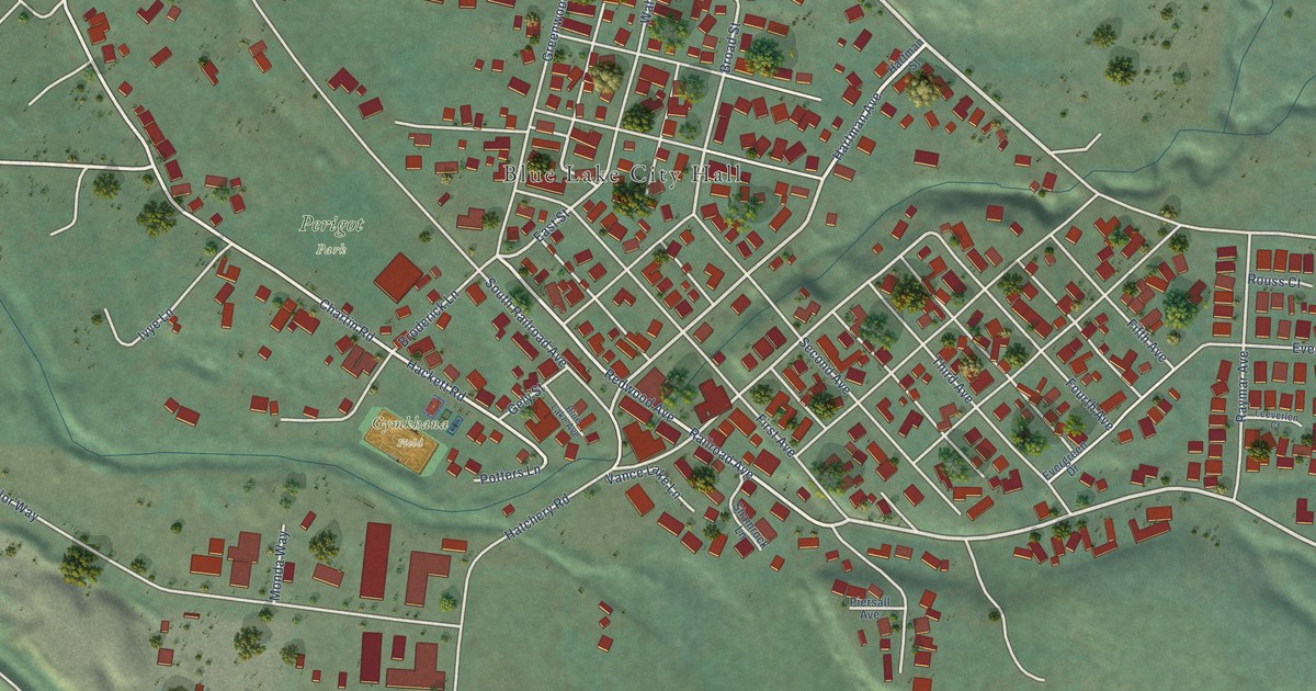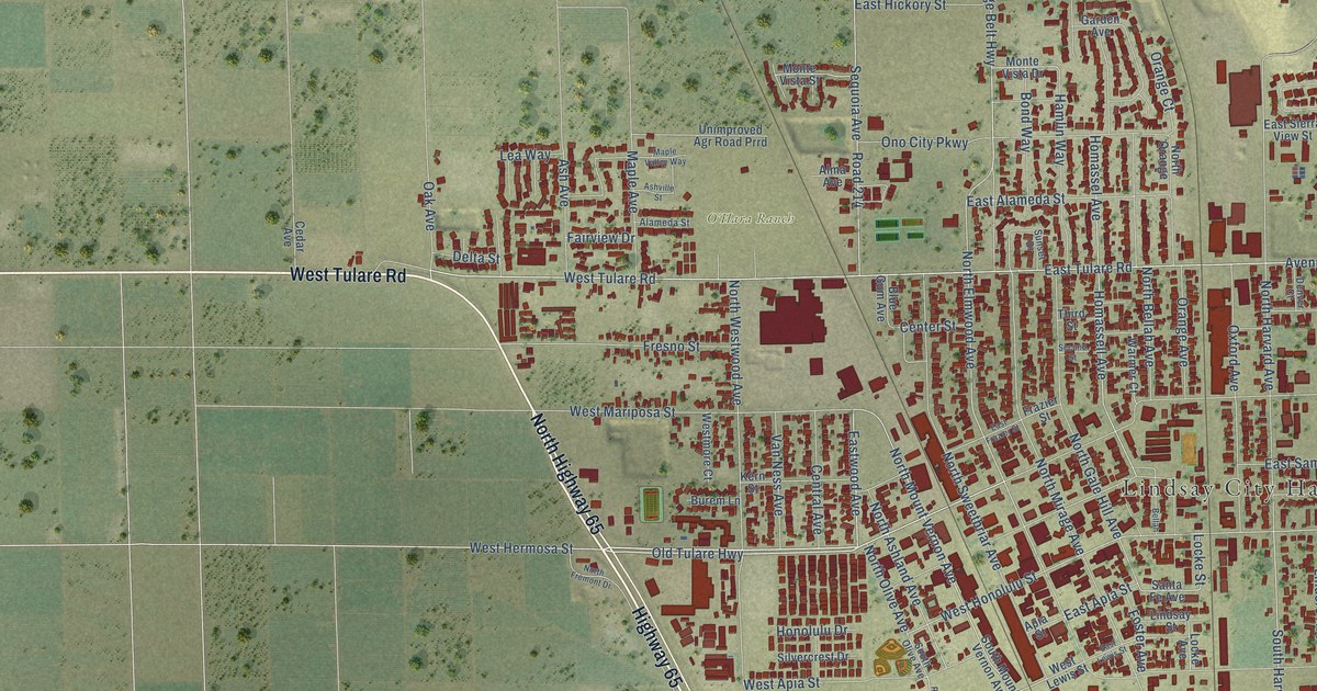
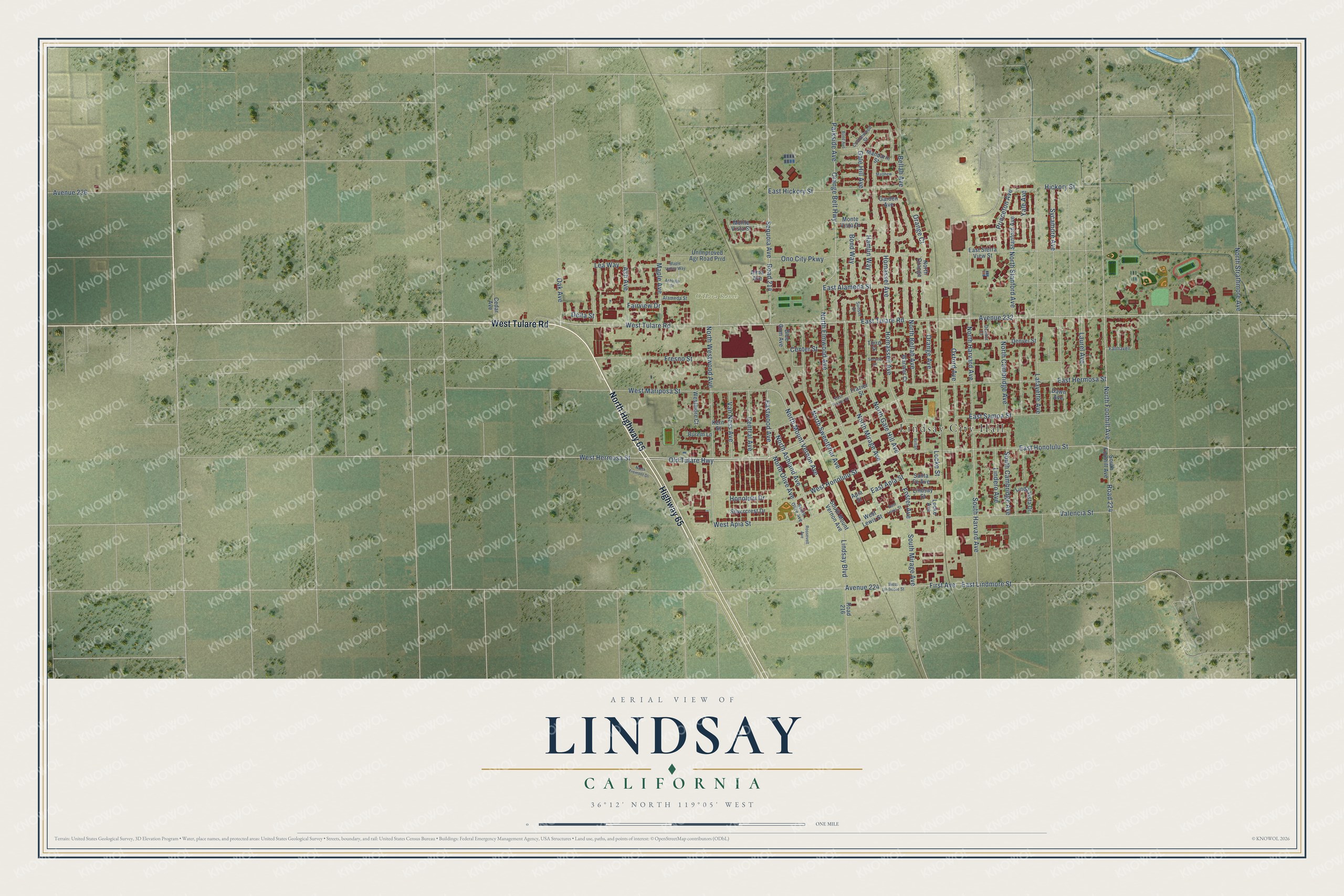
This beautifully detailed map of Lindsay, California was created in 2026 using aerial imagery combined with modern topographical, census, street and landmark data. It’s a one-of-a-kind view of Lindsay that combines accurate data with a vintage aesthetic. The map shows every building in its true location, many of the roads carry their names, and the shaded topographic relief shows the shape of the land.
Explore an aerial view of Lindsay, California
On the map you’ll find Lindsay City Hall, O’Hara Ranch, and Avenue 232, along with Highway 65, West Tulare Road, North Highway 65, Old Tulare Highway, Eastwood Avenue, North Mount Vernon Avenue, East Tulare Road, West Hermosa Street, East Honolulu Street, and more. If you look closely you can even find your house accurately drawn in its correct location. Zoom in on the preview to look for yours.
Did you know this piece of Lindsay, California history?
From the Sun-Gazette: "The centerpiece of the roundabout at Hermosa and Elmwood was built by Lindsay resident Charles Warren Towt, inventor of the first wind machine ever used for citrus frost protection in 1919."
Take a closer look at the Lindsay map
Street and place names on the Lindsay, California map
These names are printed on the map of Lindsay, California.
Places: Lindsay City Hall and O'Hara Ranch.
Streets and roads: Highway 65, West Tulare Road, North Highway 65, Old Tulare Highway, Eastwood Avenue, North Mount Vernon Avenue, East Tulare Road, West Hermosa Street, Avenue 232, East Honolulu Street, North Elmwood Avenue, Orange Belt Highway.
More street names, A to Z
Alameda Street, Alma Avenue, Apia Street, Ash Avenue, Ashville Street, Avenue 224, Avenue 236, Bellah, Bellah Avenue, Blue Gum Avenue, Bond Avenue, Bond Way, Burem Lane, Cedar Avenue, Center Street, Central Avenue, Cottonwood Street, Dawn Avenue, Delta Street, Denver Court, Denver Street, East Alameda Street, East Apia Street, East Frazier Street, East Hermosa Street, East Hickory Street, East Lewis Street, East Lindmore Street, East Samoa Street, East Sierra View Street, Fairhaven, Fairview Drive, First Avenue, Foster Avenue, Frazier Street, Fresno Street, Gale Hill Avenue, Garden Avenue, Hamlin Way, Hickory Street, Homassel Avenue, Homassell Avenue, Honolulu Drive, Kern Street, Lafayette Avenue, Laurel Avenue, Lea Way, Linda Vista Drive, Lindero Avenue, Lindsay Boulevard, Lindsay Street, Locke Avenue, Locke Street, Mandarin Street, Maple Avenue, Maple Valley Way, Matthew, Monte Vista Drive, Monte Vista Street, North Ashland Avenue, North Bellah Avenue, North Cambridge Avenue, North Foothill Avenue, North Fremont Drive, North Gale Hill Avenue, North Harvard Avenue, North Mirage Avenue, North Olive Avenue, North Orange, North Stanford Avenue, North Strathmore Avenue, North Sweetbriar Avenue, North Westwood Avenue, Oak Avenue, Ono City Parkway, Orange Avenue, Orange Court, Oxford Avenue, Parkside Avenue, Princeton Avenue, Road 214, Road 216, Road 224, Roosevelt Avenue, Santa Fe Avenue, Second Street, Sequoia Avenue, Silvercrest Drive, South Cambridge Avenue, South Foothill Avenue, South Harvard Avenue, South Mirage Avenue, South Mount Vernon Avenue, South Olive Avenue, Stanford Avenue, Sunset Drive, Sycamore Avenue, Third Street, Unimproved Agr Road Prrd, Valencia Street, Van Ness Avenue, Warmer Court, West Apia Street, West Honolulu Street, West Lewis Street, West Lindmore Street, West Mariposa Street, Westmore Court, Yale Avenue.
See the Lindsay, California map on a wall
The Lindsay map as an 18 x 24 inch print in a black frame.

This beautifully detailed map of Lindsay makes an attractive addition to your office, library, or den, and it can even be used to teach children the geography and history of the area. It also makes a great gift for someone who left Lindsay and still calls it home. When you’re done exploring, click here to get your copy of the Lindsay map.