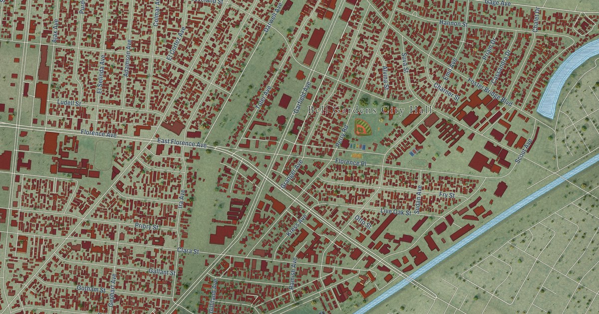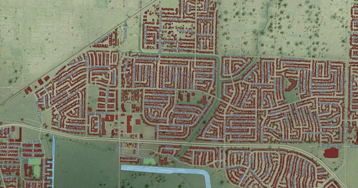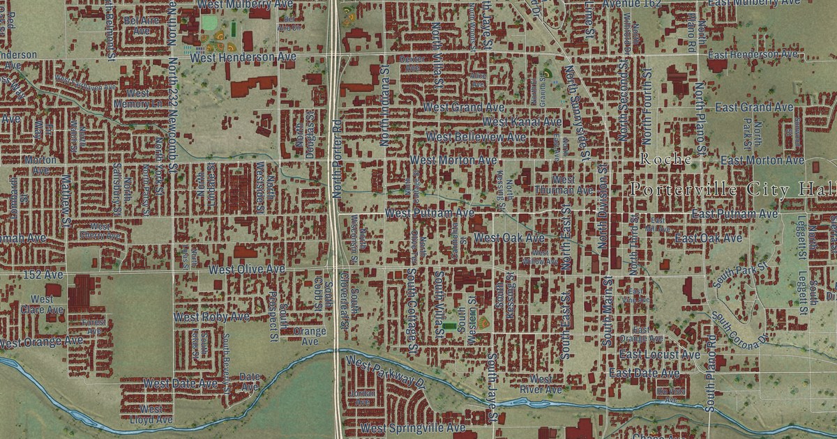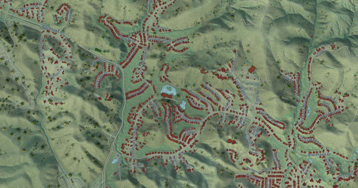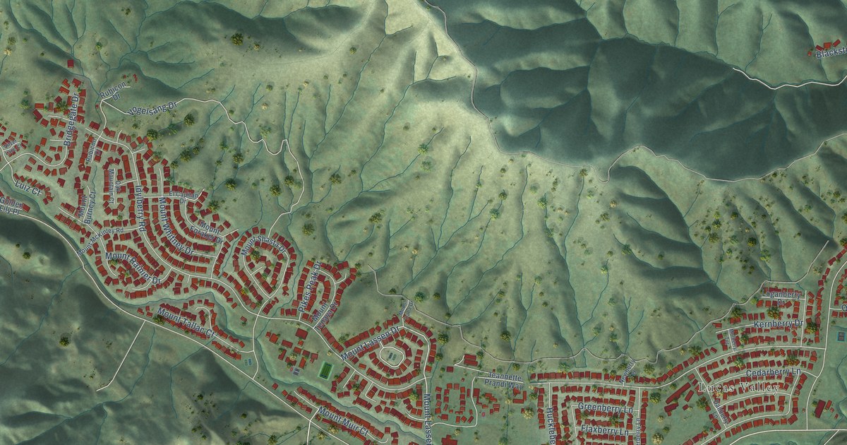
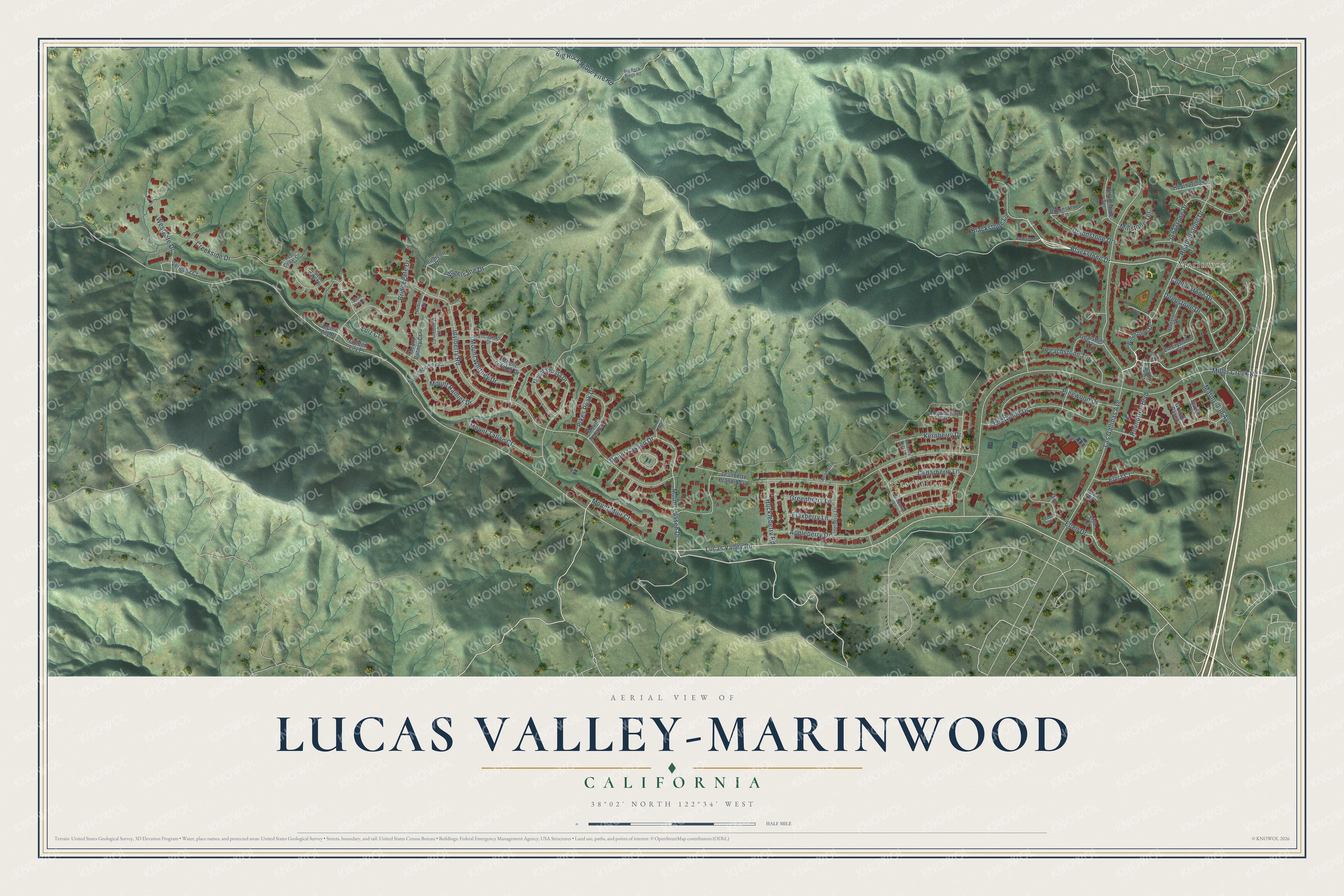
This beautifully detailed map of Lucas Valley-Marinwood, California was created in 2026 using aerial imagery combined with modern topographical, census, street and landmark data. It's a modern aerial view of Lucas Valley-Marinwood in Marin County, California, that combines modern data with a vintage aesthetic. The roads feature printed names, and if you look closely you can find your exact house accurately shown in its correct location.
Explore an aerial view of Lucas Valley-Marinwood, California
On this map you'll find Marinwood, Lucas Valley, Blackstone Drive, Mount Muir Court, Lucas Valley Road, Creekside Drive, Idylberry Road, Miller Creek Road, Las Gallinas Avenue, Vogelsang Drive, Appleberry Drive, Mount Lassen Drive, and more. Each red shape is a building, so zoom in on the preview and look for yours.
Lucas Valley-Marinwood is a community in Marin County. The Census Bureau counted 6,259 people here in 2020. The map prints the town name in its title panel, with the coordinates below it.
Take a closer look at the Lucas Valley-Marinwood map
Names on this map
These names are printed on this map.
Places: Marinwood and Lucas Valley.
Streets and roads: Blackstone Drive, Mount Muir Court, Lucas Valley Road, Creekside Drive, Idylberry Road, Miller Creek Road, Las Gallinas Avenue, Vogelsang Drive, Appleberry Drive, Mount Lassen Drive, Heatherstone Drive, Bridgegate Drive.
More street names, A to Z
Alpine Lily Place, Big Rock Ridge Fire Road, Big Rock Ridge Road, Blackstone Lane, Caja Court, Cedarberry Lane, Cobblestone Drive, Danberry Lane, Deepstone Drive, Dunlin Court, El Capitan Drive, Elderberry Lane, Ellen Court, Ellen Drive, Elvia Court, Emerystone Terrace, Erin Drive, Flagstone Terrace, Flaxberry Lane, Golden Lily Place, Grande Paseo, Greenberry Lane, Heatherstone Lane, Huckleberry Road, Jeannette Prandi Way, Johnstone Drive, Kernberry Drive, Linnet Court, Lisa Court, Loganberry Drive, Luiz Court, Marinwood Avenue, Millstone Terrace, Mount Burney Court, Mount Dana Drive, Mount Foraker Drive, Mount McKinley Road, Mount Rainier Drive, Mount Shasta Drive, Mount Tallac Court, Mount Tenaya Drive, Mount Whitney Drive, Mulberry Terrace, Newberry Terrace, Oak Mountain Court, Opalstone Terrace, Peachstone Terrace, Pikes Peak Drive, Pinewood Drive, Quietwood Drive, Red Cedar Court, Rhinestone Terrace, Roundtree Boulevard, Rubicon Court, Rubicon Drive, Seville Drive, Silver Lace Court, Silver Pine Terrace, Unionstone Drive, Unionstone Lane, Valleystone Drive, Verbena Court, Westgate Drive, Windstone Drive.
Created by KNOWOL in 2026. The buildings are small red shapes, the roads carry their printed names, and shaded relief shows the shape of the land. The title panel reads "AERIAL VIEW OF LUCAS VALLEY-MARINWOOD CALIFORNIA" with 38°02' NORTH 122°34' WEST.
It suits a den, a classroom or a front hall, and it makes a gift for anyone with Lucas Valley-Marinwood roots. Open the preview and find the block you know. See sizes and frames for the Lucas Valley-Marinwood map.