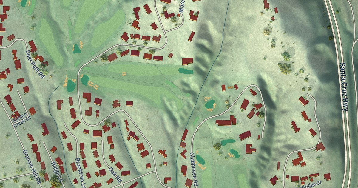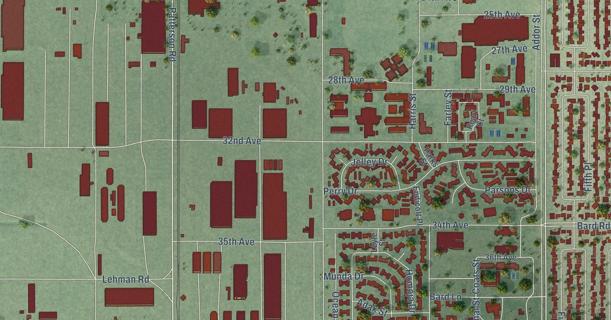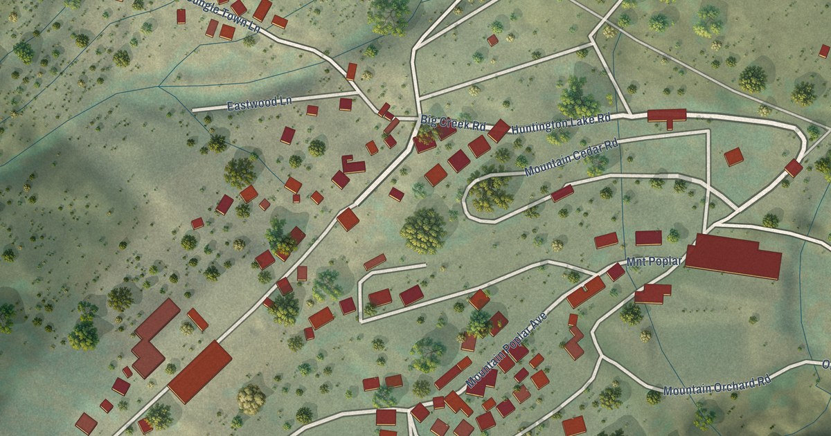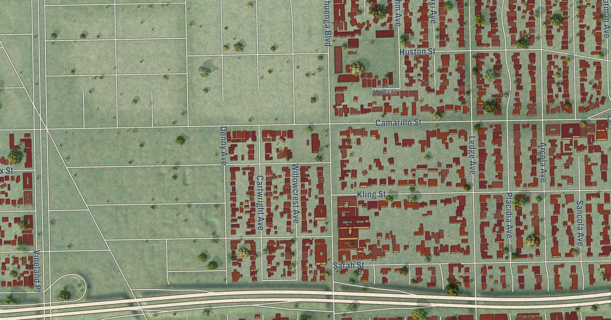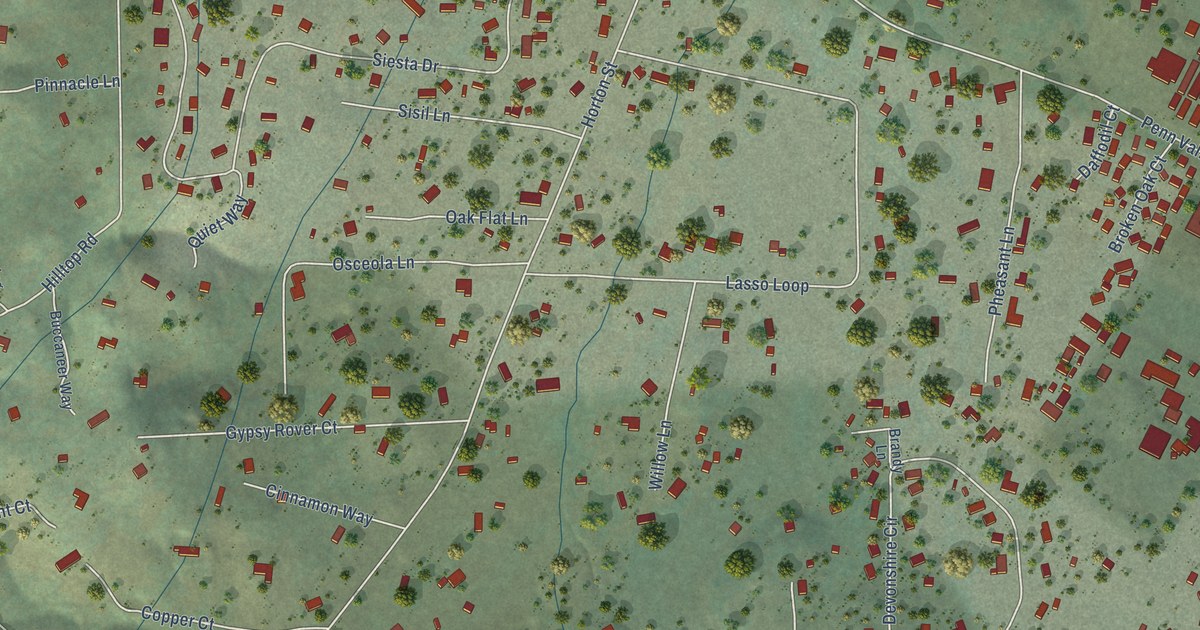
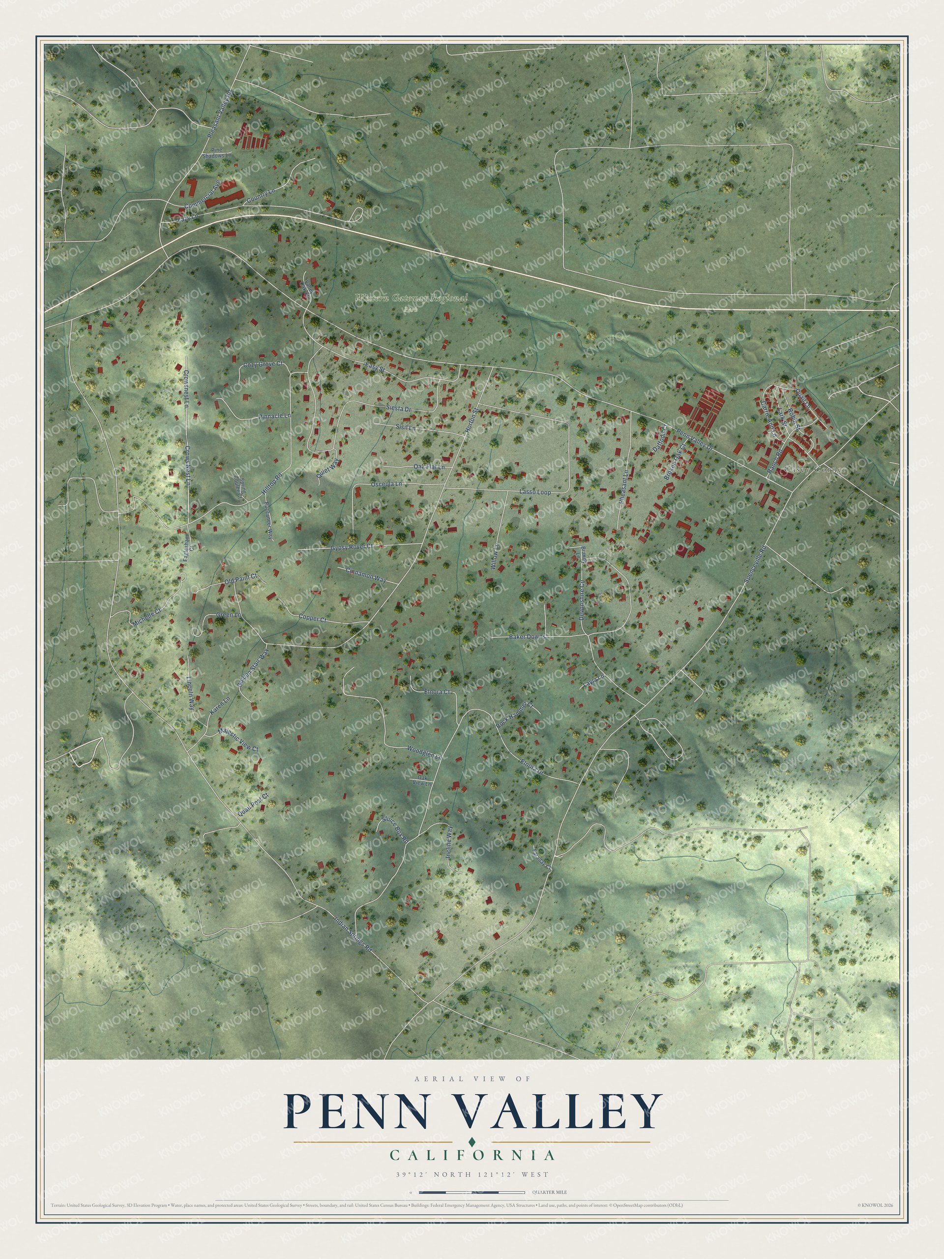
This beautifully detailed map of Penn Valley, California was created in 2026 using aerial imagery combined with modern topographical, census, street and landmark data. It's a modern aerial view of Penn Valley in Nevada County, California, that combines modern data with a vintage aesthetic. The roads feature printed names, and if you look closely you can find your exact house accurately shown in its correct location.
Explore an aerial view of Penn Valley, California
On this map you'll find Casey Corner, Western Gateway Regional Park, Penn Valley Drive, Indian Springs Road, Spenceville Road, Horton Street, Elnora Drive, Hilltop Road, Devonshire Circle, Siesta Drive, Lasso Loop, Lazy Lane, and more. Each red shape is a building, so zoom in on the preview and look for yours.
Penn Valley is a community in Nevada County. The Census Bureau counted 1,593 people here in 2020. Penn Valley sits about 3 miles south of Lake Wildwood, 4 miles southwest of Rough and Ready and 5 miles east of Smartsville. The map prints the town name in its title panel, with the coordinates below it.
Take a closer look at the Penn Valley map
Names on this map
These names are printed on this map.
Places: Casey Corner and Western Gateway Regional Park.
Streets and roads: Penn Valley Drive, Indian Springs Road, Spenceville Road, Horton Street, Elnora Drive, Hilltop Road, Devonshire Circle, Siesta Drive, Lasso Loop, Lazy Lane, Easy Street, Pleasant Valley Road.
More street names, A to Z
Baker Downs, Brandy Lane, Broken Oak Court, Buccaneer Way, Carrie Ann Lane, Cinnamon Way, Commercial Avenue, Copper Court, Country Lane, Cozy Grove Court, Crows Nest Lane, Crowsnest Lane, Daffodil Court, Eaglesham Court, Elnora Court, Faraday Court, Golden Stair Way, Green Lane, Gypsy Rover Court, Incline Way, Karen Lane, Lark Street, Layla Lane, Lincoln Way, Majestic View Court, Michelle Court, Oak Flat Lane, Oak View Lane, Old Paint Court, Osceola Lane, Pheasant Lane, Pine Shadows Lane, Pinnacle Lane, Quail Lane, Quail Post Court, Quiet Way, Ranch Road, Robin Street, Rock Hammer Court, Sisil Lane, Sluice Box Road, Spring Coulee Court, Valley Oak Court, Willow Lane, Woodglen Lane.
See it on a wall
The Penn Valley map as a framed print. Swipe for more.


Created by KNOWOL in 2026. The buildings are small red shapes, the roads carry their printed names, and shaded relief shows the shape of the land. The title panel reads "AERIAL VIEW OF PENN VALLEY, CALIFORNIA" with 39°12' NORTH 121°12' WEST.
It suits a den, a classroom or a front hall, and it makes a gift for anyone with Penn Valley roots. Open the preview and find the block you know. See sizes and frames for the Penn Valley map.