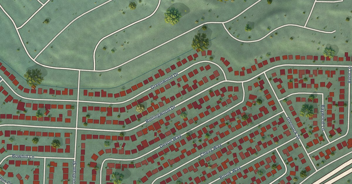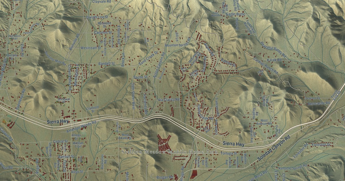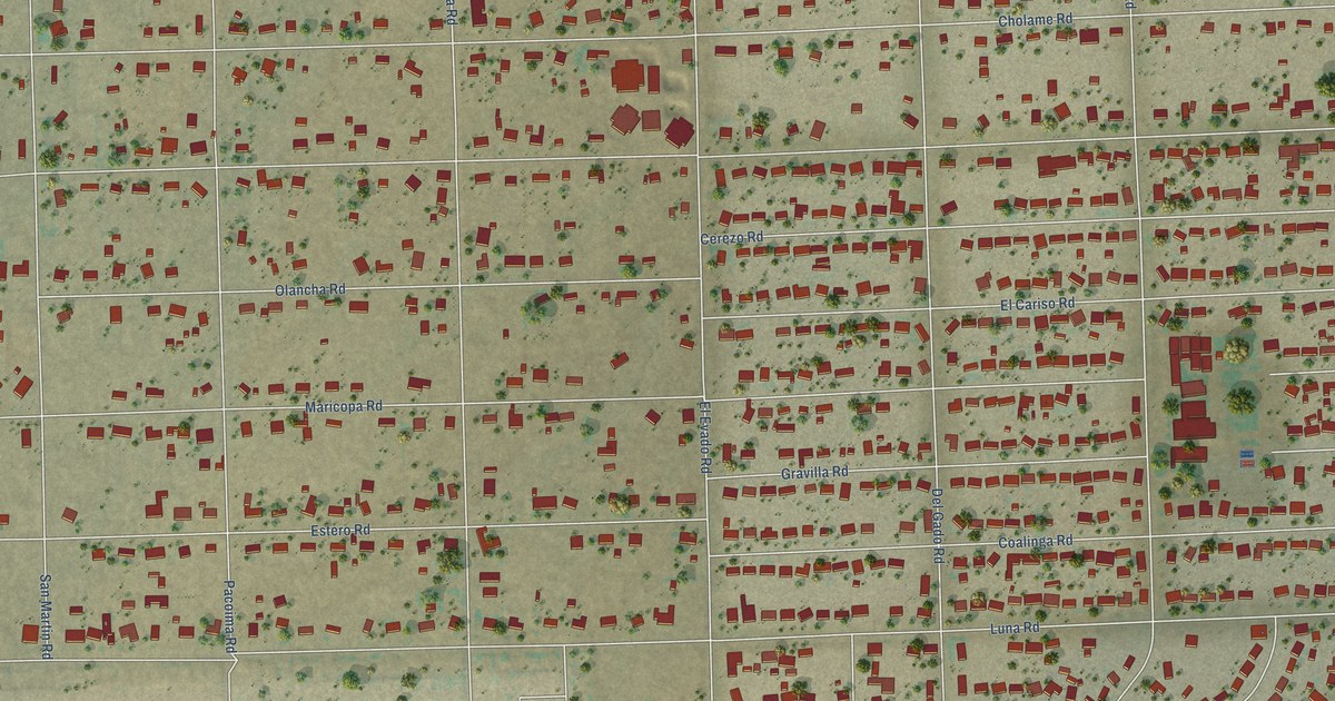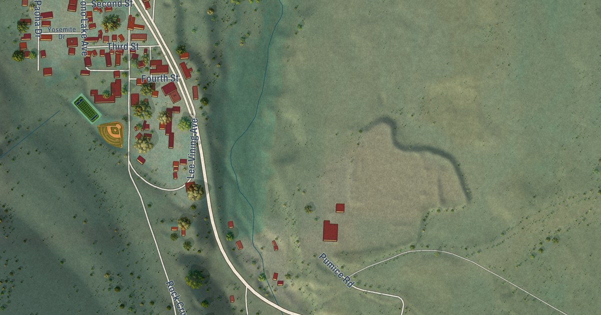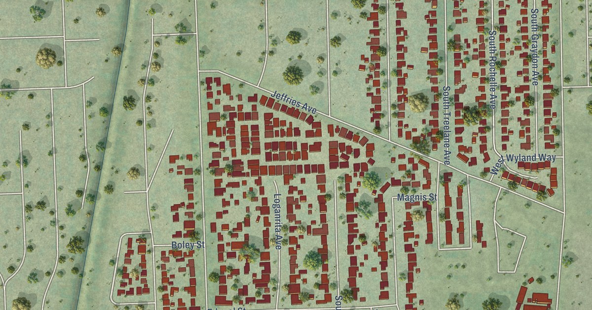
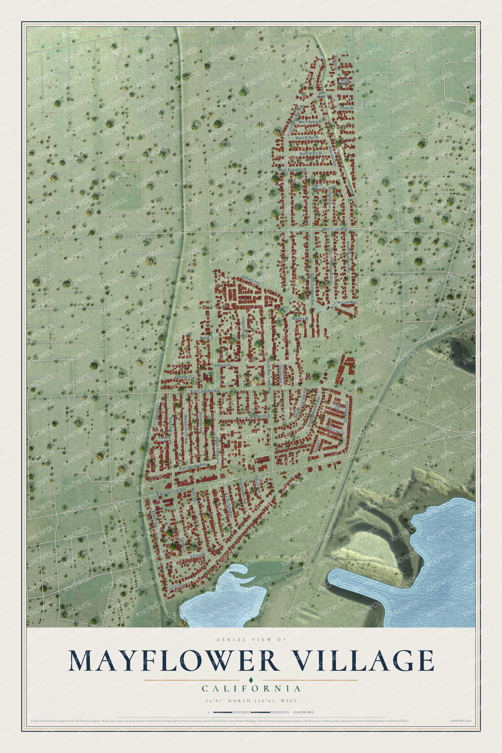
This beautifully detailed map of Mayflower Village, California was created in 2026 using aerial imagery combined with modern topographical, census, street and landmark data. It's a modern aerial view of Mayflower Village in Los Angeles County, California, that combines modern data with a vintage aesthetic. The roads feature printed names, and if you look closely you can find your exact house accurately shown in its correct location.
Explore an aerial view of Mayflower Village, California
On this map you'll find South Graydon Avenue, West Cam Real, Stagio Drive, Foss Avenue, Boley Street, South Fairgreen Avenue, East Live Oak Avenue, South Tenth Avenue, Doolittle Avenue, East Longden Avenue, South Mayflower Avenue, Lynd Avenue, and more. Each red shape is a building, so zoom in on the preview and look for yours.
Mayflower Village is a community in Los Angeles County. The Census Bureau counted 5,402 people here in 2020. Mayflower Village sits about 2 miles southeast of Arcadia, 3 miles west of Irwindale and 3 miles east of Temple City. The map prints the town name in its title panel, with the coordinates below it.
Take a closer look at the Mayflower Village map
Names on this map
These names are printed on this map.
Streets and roads: South Graydon Avenue, West Cam Real, Stagio Drive, Foss Avenue, Boley Street, South Fairgreen Avenue, East Live Oak Avenue, South Tenth Avenue, Doolittle Avenue, East Longden Avenue, South Mayflower Avenue, Lynd Avenue.
More street names, A to Z
Aduana Drive, Birchcroft Street, Center Street, Chula Street, Daines Drive, East Sandra Avenue, Ednuel Street, Eighth Avenue, Eisenhower Avenue, Graydon Avenue, Halsey Avenue, Hodges Avenue, Jacaranda Circle, Jeffries Avenue, Loganrita Avenue, Lovejoy Street, Magnis Street, Ninth Avenue, Othello Street, Pepper Way, Rochelle Avenue, Rock Rose Street, South Ashmont Avenue, South Heather Heights Avenue, South Larkfield Avenue, South Rochelle Avenue, South Treelane Avenue, Spruce Court, Sycamore Lane, Weidermeyer Avenue, West Altern Street, West Armijo Street, West Atara Street, West Avora Street, West El Sur Street, West Standish Street, West Wyland Way.
See it on a wall
The Mayflower Village map as a framed print. Swipe for more.


Created by KNOWOL in 2026. The buildings are small red shapes, the roads carry their printed names, and shaded relief shows the shape of the land. The title panel reads "AERIAL VIEW OF MAYFLOWER VILLAGE, CALIFORNIA" with 34°07' NORTH 118°01' WEST.
It looks right in a kitchen, an office or a den, and it's a gift for anyone who grew up in Mayflower Village or moved away. Open the preview and find your street. See sizes and frames for the Mayflower Village map.