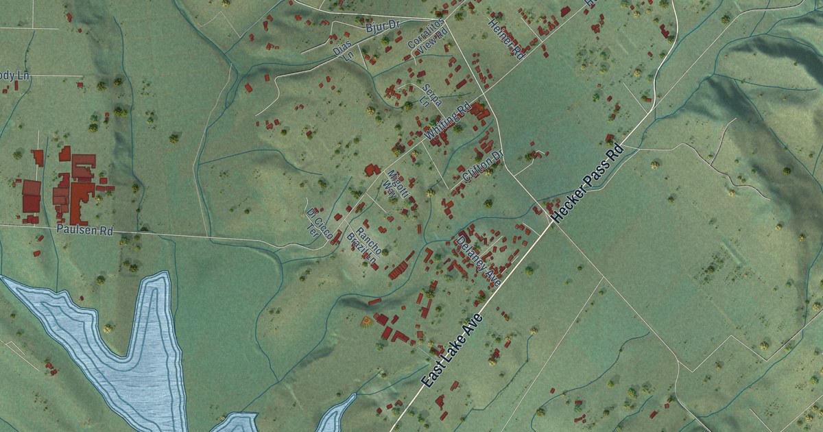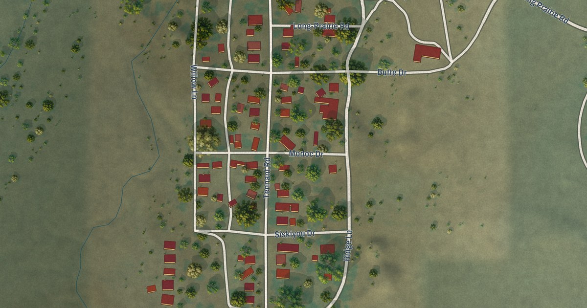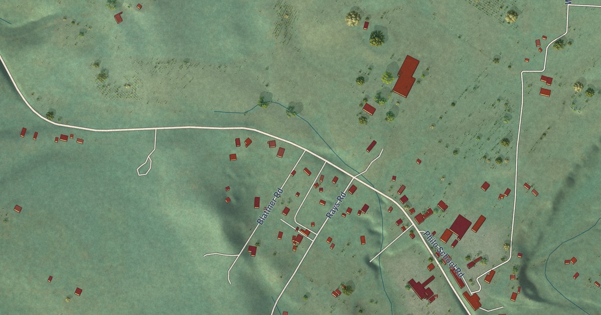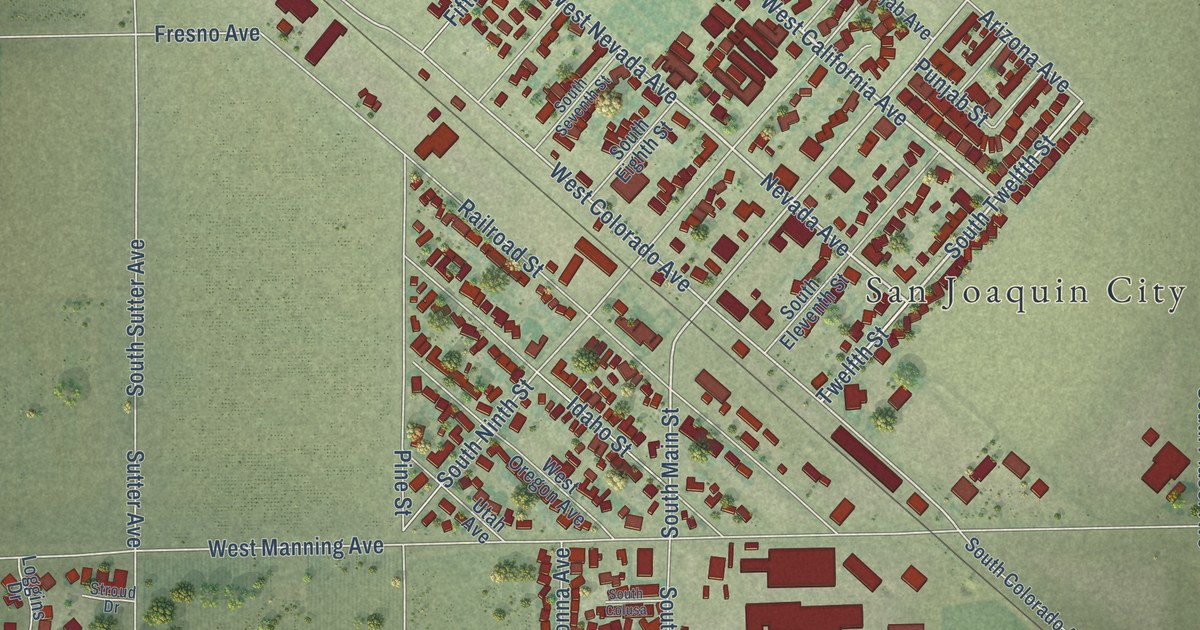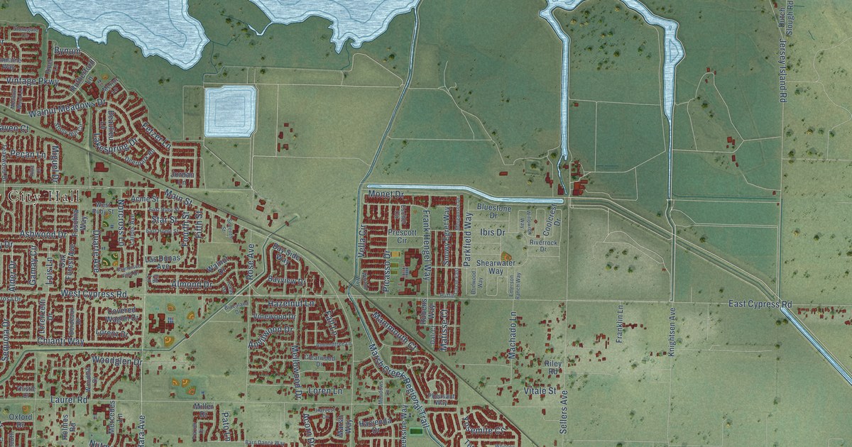
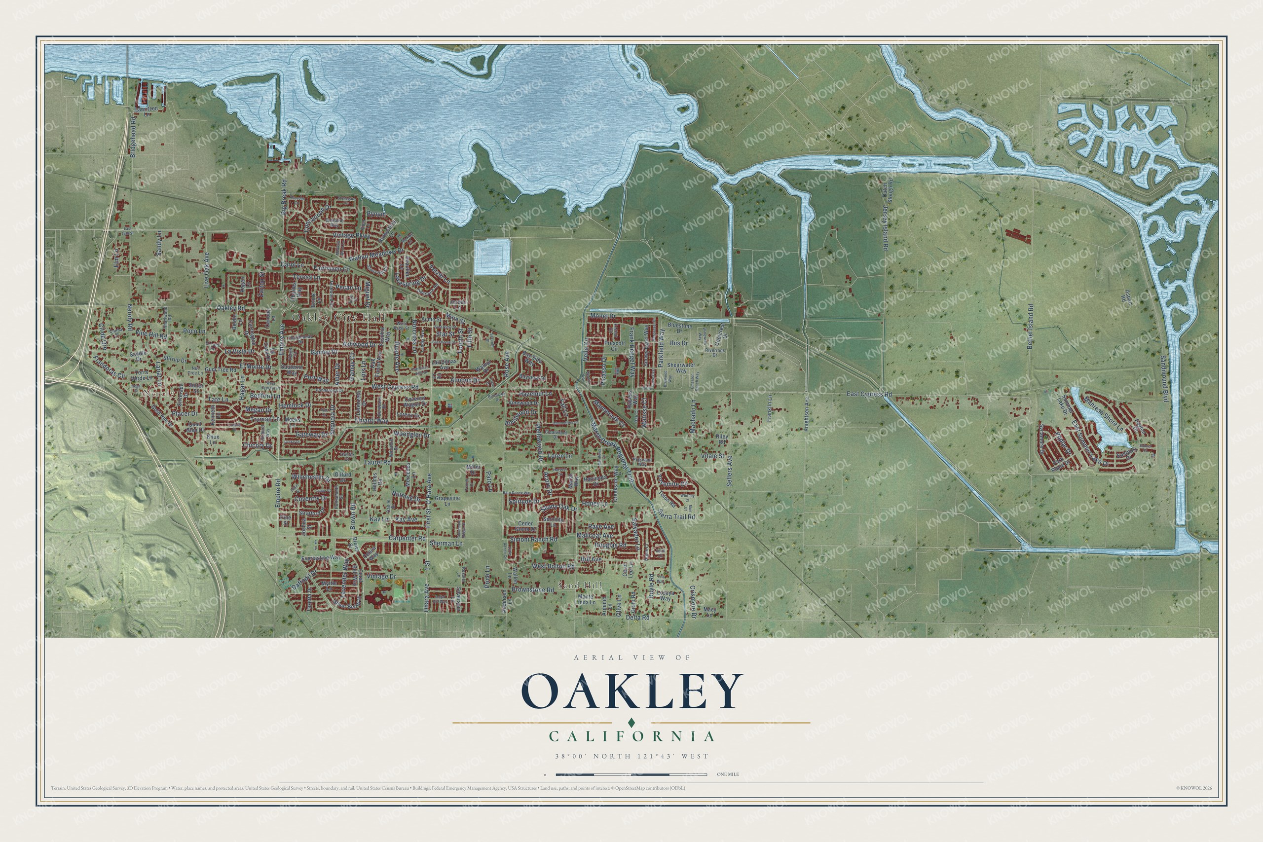
This beautifully detailed map of Oakley, California was created in 2026 using aerial imagery combined with modern topographical, census, street and landmark data. It’s a one-of-a-kind view of Oakley that combines accurate data with a vintage aesthetic. The map shows every building in its true location, many of the roads carry their names, and the shaded topographic relief shows the shape of the land.
Explore an aerial view of Oakley, California
On the map you’ll find Oakley City Hall, Neroly, and Sand Hill, along with Neroly Road, Main Street, Monet Drive, Bridgehead Road, Frank Hengel Way, Frandoras Circle, Parkfield Way, Walnut Meadows Drive, Gamay Drive, and more. If you look closely you can even find your house accurately drawn in its correct location. Zoom in on the preview to look for yours.
Did you know this about Oakley, California?
From the Contra Costa County History: "Apricots ripen earlier in Oakley than in any other section, on account of the sandy soil, and these apricots are in great demand in the Eastern States."
Take a closer look at the Oakley map
Street and place names on the Oakley, California map
These names are printed on the map of Oakley, California.
Places: Oakley City Hall, Neroly and Sand Hill.
Streets and roads: Neroly Road, Main Street, Monet Drive, Bridgehead Road, Frank Hengel Way, Frandoras Circle, Parkfield Way, Walnut Meadows Drive, Gamay Drive, West Bolton Road, Miguel Drive, East Cypress Road.
More street names, A to Z
1 Street, Acme Street, Acorn Drive, Alder Drive, Almaden Circle, Almond Drive, Almondtree Lane, Anderson Lane, Anvilwood Drive, Arminio Lane, Ashwood Drive, Aspen Road, Barn Dance Way, Bay Side Way, Bayview Drive, Beaulieu Lane, Bedford Lane, Beldin Lane, Bethel Island Road, Biacalana Drive, Big Break Road, Bluestone Drive, Bordeaux Drive, Brinwood Way, Brock Lane, Brown Road, Brownstone Road, Brown Street, Bynum, Canopy Lane, Carol Lane, Carol Lee Lane, Carpenter Road, Carrington Drive, Ceder Glenn Drive, Celsia Way, Chardonnay Drive, Charles Way, Chianti Way, Chicory Drive, Cinnamon Ridge Drive, Claret Court, Clearwood Drive, Cll de Oro, Concannon Drive, Connie Court, Coolcrest Drive, Coral Bell Way, Coventry Drive, Covered Wagon Drive, Creekside Way, Crismore Drive, Cunha Court, Daffodil Drive, Dali Court, Daniel Drive, Deerpark Road, Delta Road, Diane Court, Domaine Way, Douglas Road, Doyle Road, Duarte Avenue, Dutch Slough Road, East 18th Street, East Home Street, Eastport Drive, East Ruby Street, East Summer Lake Drive, El Lago Drive, Elm Lane, El Monte Drive, Emerson Ranch Way, Empire Avenue, Empire Road, Escher Circle, Everlasting Way, Fairhaven Court, Fall Lane, Fetzer Lane, Fifth Street, Fig Lane, First Street, Fourth Street, Francisco Villa Drive, Franklin Lane, Frazier Drive, Fuschia Way, Gamay Circle, Gateway Drive, Gold Run Drive, Grant Road, Grapevine Lane, Gum Tree Road, Hacienda Drive, Hagar Lane, Harvest Circle, Hazelnut Lane, Hemlock Drive, Hill Avenue, Holmes Road, Honey Lane, Ibis Drive, Jersey Island Road, Jordan Lane, Joshua Street, Kay Avenue, Kay Lane, Kegan Lane, Keith Court, Kenneth Lane, Kessler Lane, Knarlwood Road, Knightsen Avenue, Knox Lane, La Casa Drive, Lakespring Drive, Landis Avenue, Lariat Lane, Las Dunas Avenue, Laurel Road, Lauritzen Lane, Lavender Way, La Vista Drive, Little Ranch Circle, Live Oak Avenue, Locke Court, Lois Lane, Loren Lane, Lorenz Drive, Lorenzetti Drive, Lozoya Way, Machado Lane, Macy Lane, Malicoat Avenue, Mammouth Court, Manresa Shore Lane, Marsh Creek Regional Trail, Marsh Way, Matisse Court, Meadows Lane, Meadow Wood Lane, Meeks Lane, Megan Drive, Mellowood Drive, Mercedes Lane, Merganser Drive, Merlot Lane, Miller Drive, Monte Linda Lane, Muir Court, Myrtle Lane, Norcross Lane, Nutmeg Drive, Nut Tree Lane, O'Hara Avenue, Oak Forest Avenue, Oakley Road, Ohara Avenue, Olive Lane, Oxford Drive, Park Place Drive, Pato Lane, Payton Drive, Pecan Lane, Pheasant Way, Picasso Drive, Pine Court, Pine Street, Piper Lane, Pitta Court, Placer Drive, Poco Lane, Ponderosa Drive, Poplar Drive, Portsmouth Street, Port Way, Prescott Circle, Price Lane, Puffin Circle East, Quail Glen Drive, Raye Avenue, Regal Court, Richard Way, Riley Road, Riverrock Drive, Rose Avenue, Rubens Way, Rutherford Lane, Saddle Drive, Salvador Lane, Sandmound Boulevard, Sandy Lane, Sauterne Way, Sellers Avenue, Sequoia Drive, Serenity Lane, Seventh Street, Shady Oak Drive, Shearwater Way, Sherman Lane, Sierra Trail Road, Silverado Drive, Silver Bell Way, Silverspur Lane, Simoni Ranch Road, Snowy Egret Way, Solitude Drive, Sonnet Court, Star Street, Stirrup Drive, Stonegate Circle, Stony Hill Circle, Stratford Drive, Sugar Hill Way, Summer Lake Drive, Susie Street, Sutter Street, Sycamore Drive, Tate Lane, Tazetta Drive, Teakwood Drive, Teresa Lane, Terra Verde Lane, Teton Road, Thistle Court, Tokay Drive, Truman Lane, Tudor Court, Vella Circle, Vine Hill Road, Vinewood Drive, Vintage Drive, Vintage Parkway, Vitale Street, Wallen Lane, Walnut Drive, Warhol Way, West Cypress Place, West Cypress Road, West Ruby Street, Whitney Court, Willowrun Way, Winchester Drive, Woodglen Drive, Woodhill Drive, Yosemite Circle, Yula Way, Zartop Street.
See the Oakley, California map on a wall
The Oakley map as an 18 x 24 inch print in a black frame.

This beautifully detailed map of Oakley makes an attractive addition to your office, library, or den, and it can even be used to teach children the geography and history of the area. It also makes a great gift for anyone with Oakley roots. When you’re done exploring, click here to get your copy of the Oakley map.