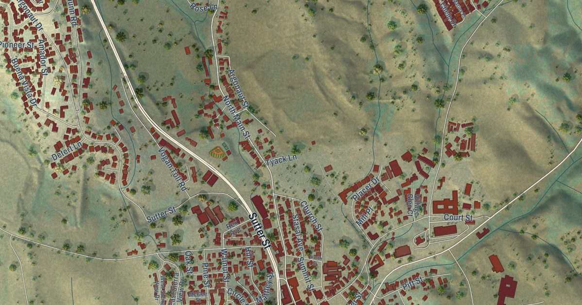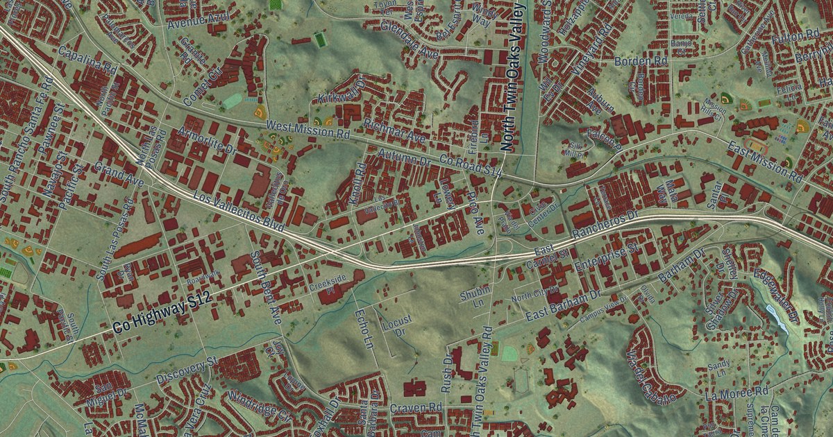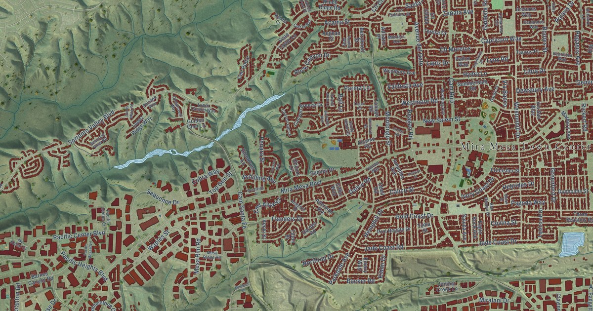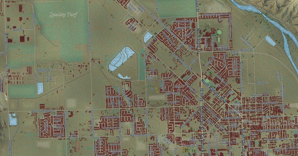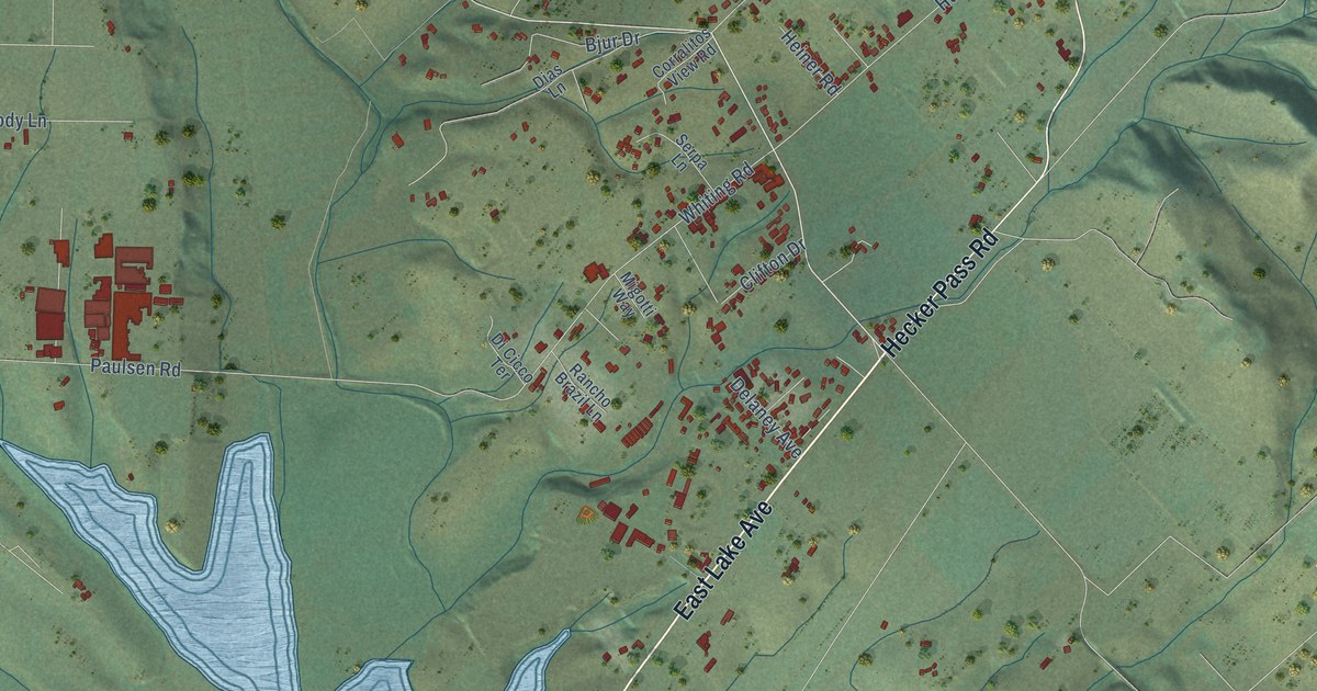
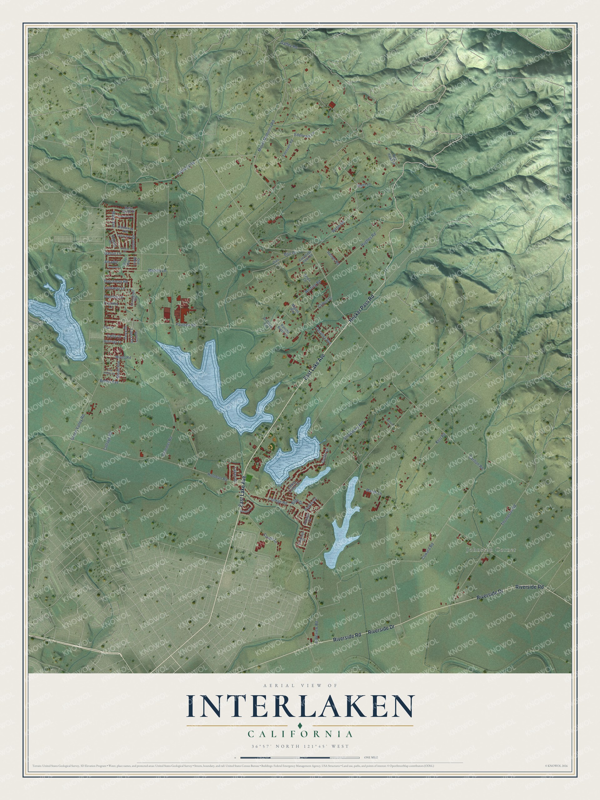
This beautifully detailed map of Interlaken, California was created in 2026 using aerial imagery combined with modern topographical, census, street and landmark data. It's a modern aerial view of Interlaken in Santa Cruz County, California, that combines modern data with a vintage aesthetic. The roads feature printed names, and if you look closely you can find your exact house accurately shown in its correct location.
Explore an aerial view of Interlaken, California
On this map you'll find Johnston Corner, East Lake Avenue, Hecker Pass Road, Riverside Drive, Riverside Road, Casserly Road, Thompson Road, Gaffey Road, Doering Lane, Carlton Road, Lakeview Road, Green Valley Road, and more. Each red shape is a building, so zoom in on the preview and look for yours.
Interlaken is a community in Santa Cruz County. The Census Bureau counted 7,368 people here in 2020. The map prints the town name in its title panel, with the coordinates below it.
Take a closer look at the Interlaken map
Names on this map
These names are printed on this map.
Places: Johnston Corner.
Streets and roads: East Lake Avenue, Hecker Pass Road, Riverside Drive, Riverside Road, Casserly Road, Thompson Road, Gaffey Road, Doering Lane, Carlton Road, Lakeview Road, Green Valley Road, Holohan Road.
More street names, A to Z
Agate Drive, Algen Lane, Amador, Arroyo Drive, Bafp Drive, Behler Avenue, Beverly Drive, Bjur Drive, Cambridge Drive, Celia Drive, Clifton Drive, Cll del Rio, College Road, Condit Lane, Corralitos View Road, Cottage Drive, Cottage Road, Coward Road, Cunningham Way, Cutter Drive, Dalton Lane, Delaney Avenue, Dias Lane, Di Cicco Terrace, Dick Phelps Road, Dutchman Road, Edenvale Lane, Edenvale Road, Grimmer Road, Hastings Lane, Hathaway Avenue, Heiner Road, Hughes Road, Jolon Drive, Kerr Road, Laken Drive, Lapis Drive, Lita Lane, Littleway Lane, Lower Cutter Drive, Mark Avenue, Marsh Lane, Meidl Avenue, Melody Lane, Mesa Verde Drive, Migotti Way, Minto Road, Mount Madonna Road, Nicholas Lane, Onyx Drive, Oso Mesa, Parker Drive, Paulsen Road, Ponderosa Avenue, Rancho Brazil Lane, Red Hawk Place, Roberta Drive, Serpa Lane, Sombra, Strawberry Hill, Trembley Lane, Trinity Avenue, Webb Road, Whiting Road.
Created by KNOWOL in 2026. The buildings are small red shapes, the roads carry their printed names, and shaded relief shows the shape of the land. The title panel reads "AERIAL VIEW OF INTERLAKEN CALIFORNIA" with 36°57' NORTH 121°45' WEST.
Hang it in the hallway, the office or the cabin, or give it to someone who left Interlaken and still calls it home. Open the preview and look for a street you know. See sizes and frames for the Interlaken map.