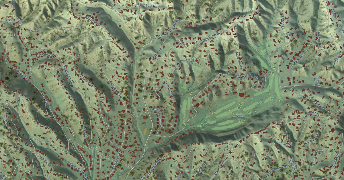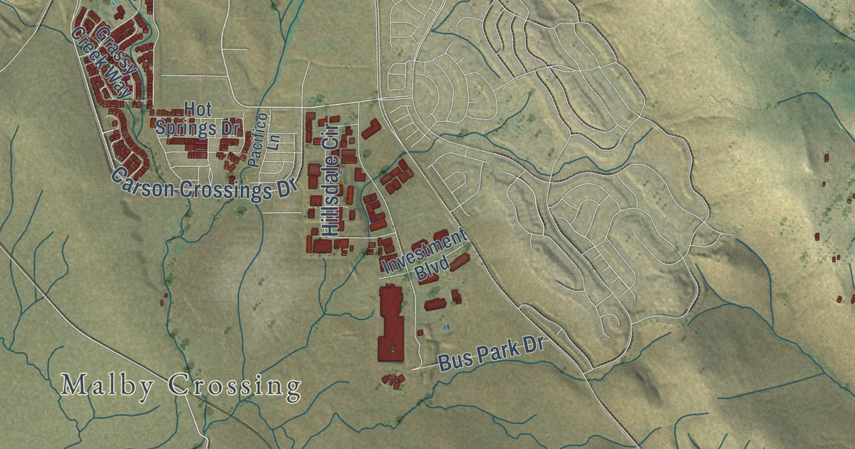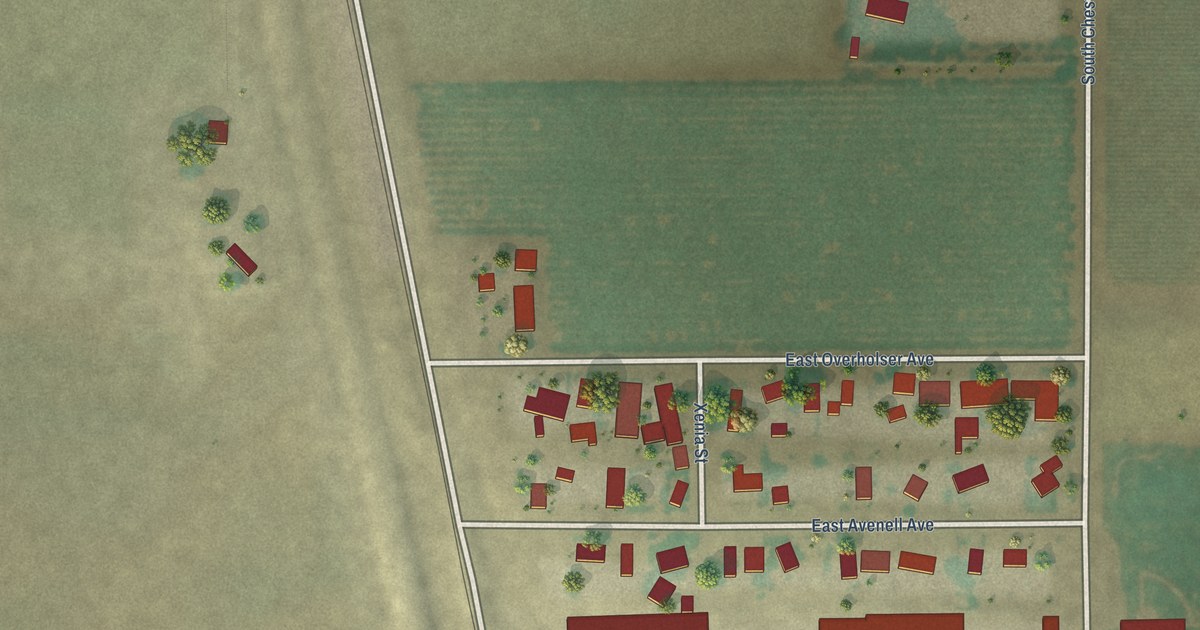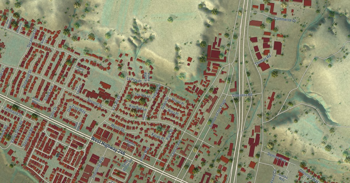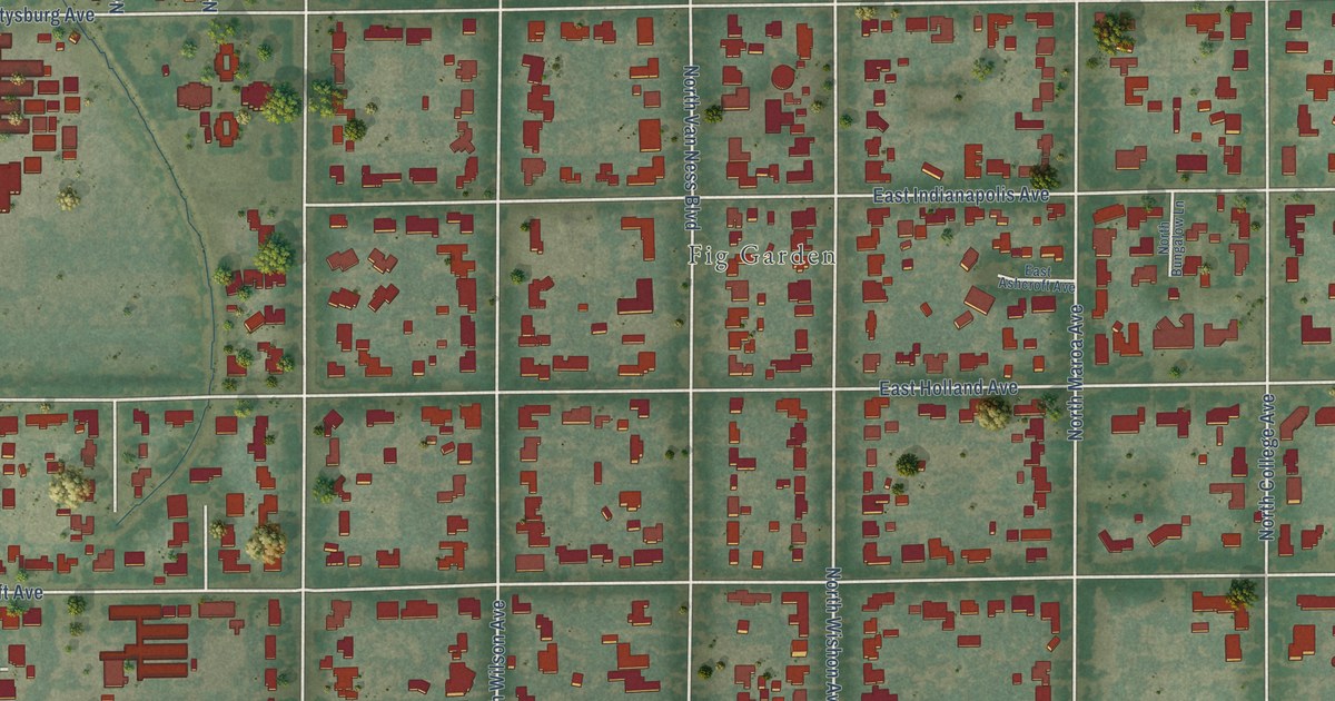
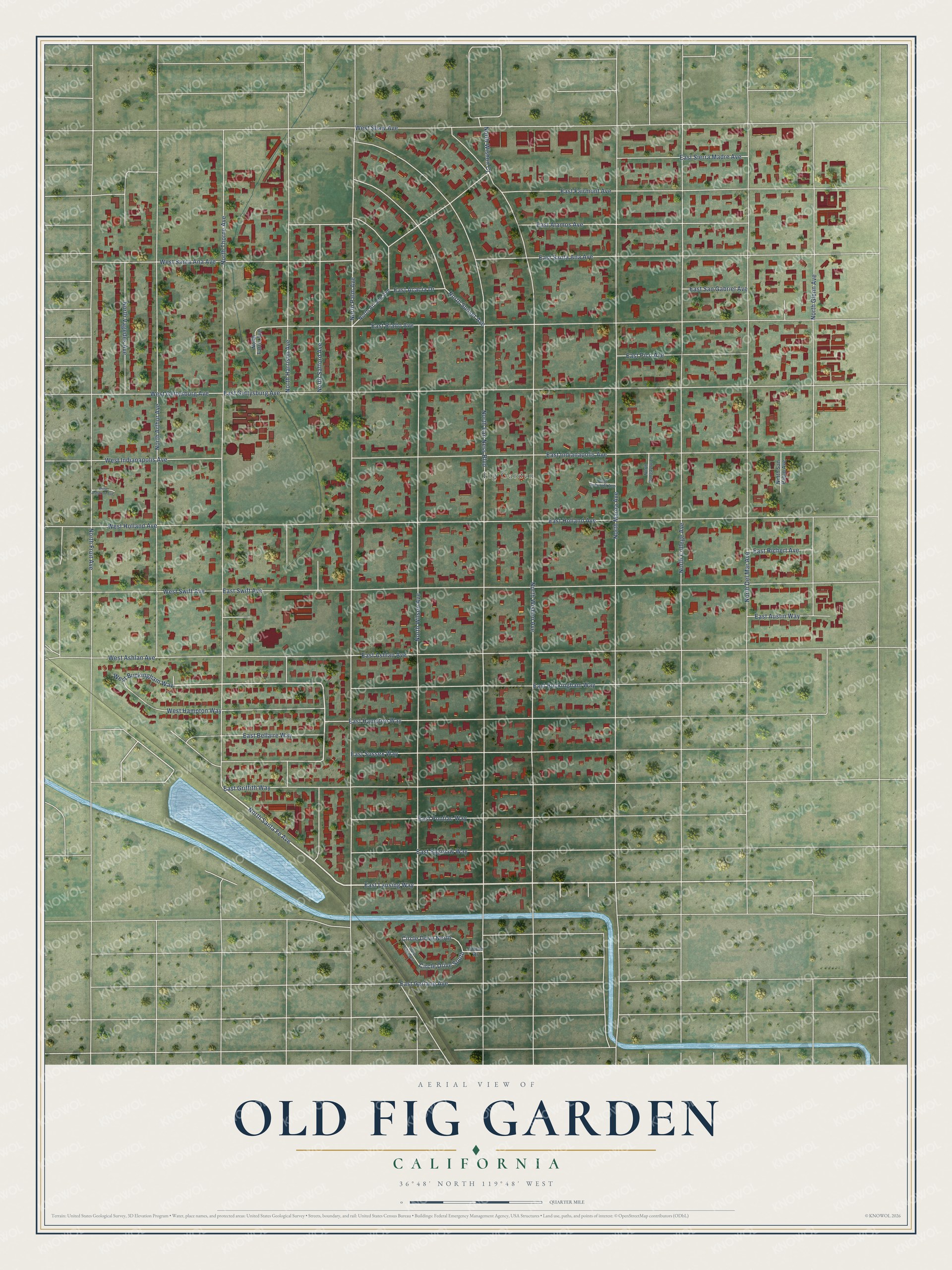
This beautifully detailed map of Old Fig Garden, California was created in 2026 using aerial imagery combined with modern topographical, census, street and landmark data. It’s a one-of-a-kind view of Old Fig Garden that combines accurate data with a vintage aesthetic. The map shows every building in its true location, many of the roads carry their names, and the shaded topographic relief shows the shape of the land.
Explore an aerial view of Old Fig Garden, California
On the map you’ll find Fig Garden, along with East Lansing Way, North Santa Fe Avenue, West Buckingham Way, East Buckingham Way, North Safford Avenue, North Van Ness Boulevard, North Wishon Avenue, North Palm Avenue, North Maroa Avenue, East Gettysburg Avenue, North Thorne Avenue, and more. If you look closely you can even find your house accurately drawn in its correct location. Zoom in on the preview to look for yours.
Did you know this piece of Old Fig Garden, California history?
From the Old Fig Garden website: "Twenty-five miles of canals and 135 miles of lateral ditches were dug to carry water to the property that later became Old Fig Garden."
Take a closer look at the Old Fig Garden map
Street and place names on the Old Fig Garden, California map
These names are printed on the map of Old Fig Garden, California.
Places: Fig Garden.
Streets and roads: East Lansing Way, North Santa Fe Avenue, West Buckingham Way, East Buckingham Way, North Safford Avenue, North Van Ness Boulevard, North Wishon Avenue, North Palm Avenue, North Maroa Avenue, East Gettysburg Avenue, North Thorne Avenue, East Swift Avenue.
More street names, A to Z
Circle Drive, Circle Drive North, Circle Drive South, Circle Drive West, East Acacia Drive, East Alamos Avenue, East Ashcroft Avenue, East Ashlan Avenue, East Austin Way, East Bellaire Way, East Fairmont Avenue, East Garland Avenue, East Griffith Way, East Hampton Way, East Holland Avenue, East Indianapolis Avenue, East Pico Avenue, East Pontiac Way, East Rialto Avenue, East Richert Avenue, East Saginaw Way, East San Gabriel Avenue, East Santa Ana Avenue, East Sierra Madre Avenue, East Sussex Way, North Arcade Avenue, North Arthur Avenue, North Bungalow Lane, North College Avenue, North Del Mar Avenue, North Farris Avenue, North Fruit Avenue, North Glenn Avenue, North Harrison Avenue, North San Pablo Avenue, North Sunset Avenue, North Vagedes Avenue, North Wilson Avenue, North Wishon Court, West Ashcroft Avenue, West Ashlan Avenue, West Gettysburg Avenue, West Hampton Way, West Holland Avenue, West Indianapolis Avenue, West Santa Ana Avenue, West Shaw Avenue, West Swift Avenue.
See the Old Fig Garden, California map on a wall
The Old Fig Garden map as an 18 x 24 inch print in a black frame.

This beautifully detailed map of Old Fig Garden makes an attractive addition to your office, library, or den, and it can even be used to teach children the geography and history of the area. It also makes a great gift for someone who left Old Fig Garden and still calls it home. When you’re done exploring, click here to get your copy of the Old Fig Garden map.