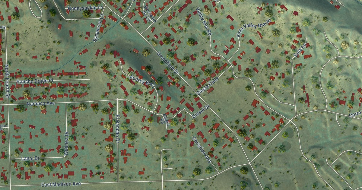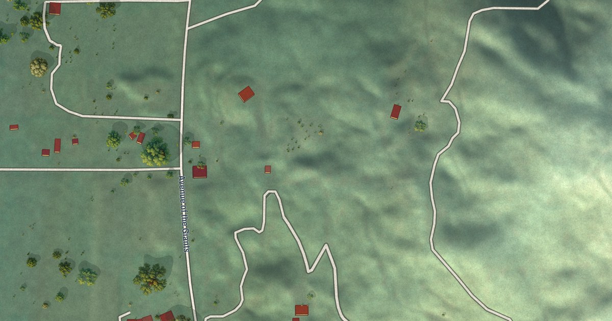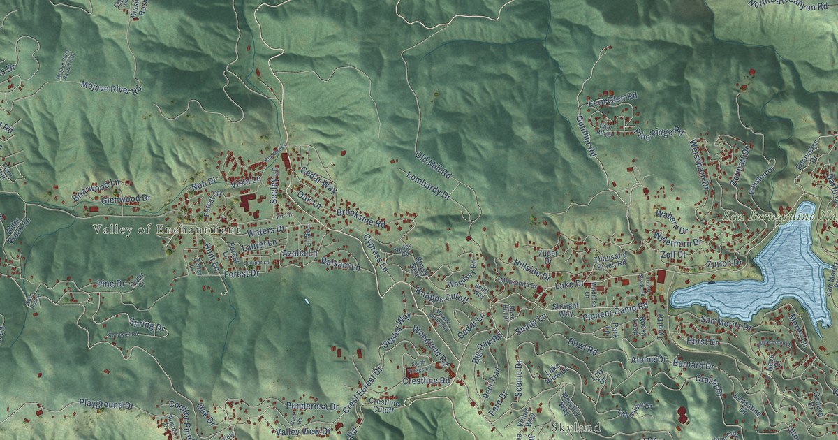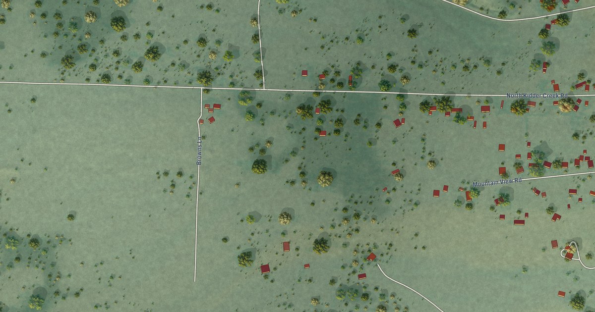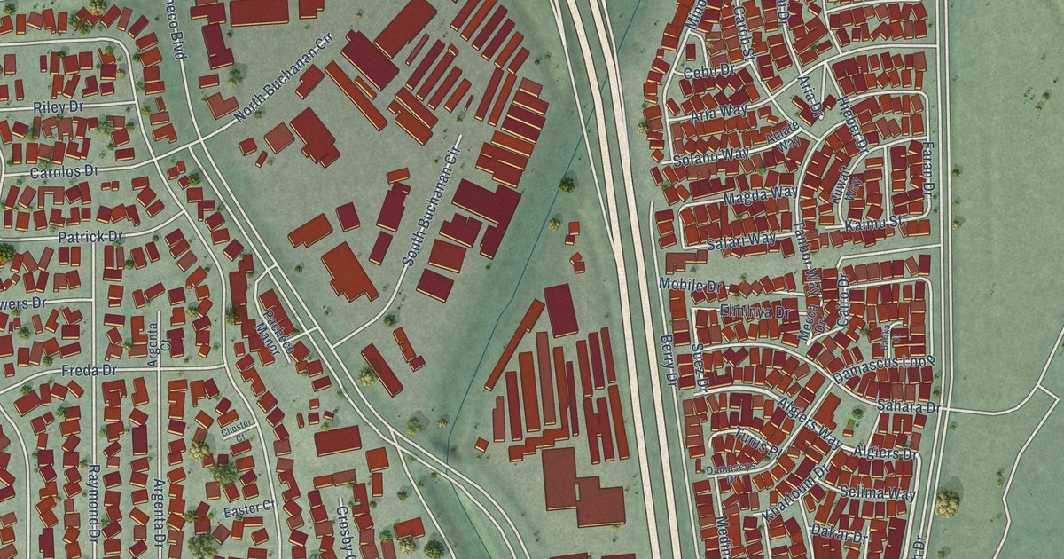
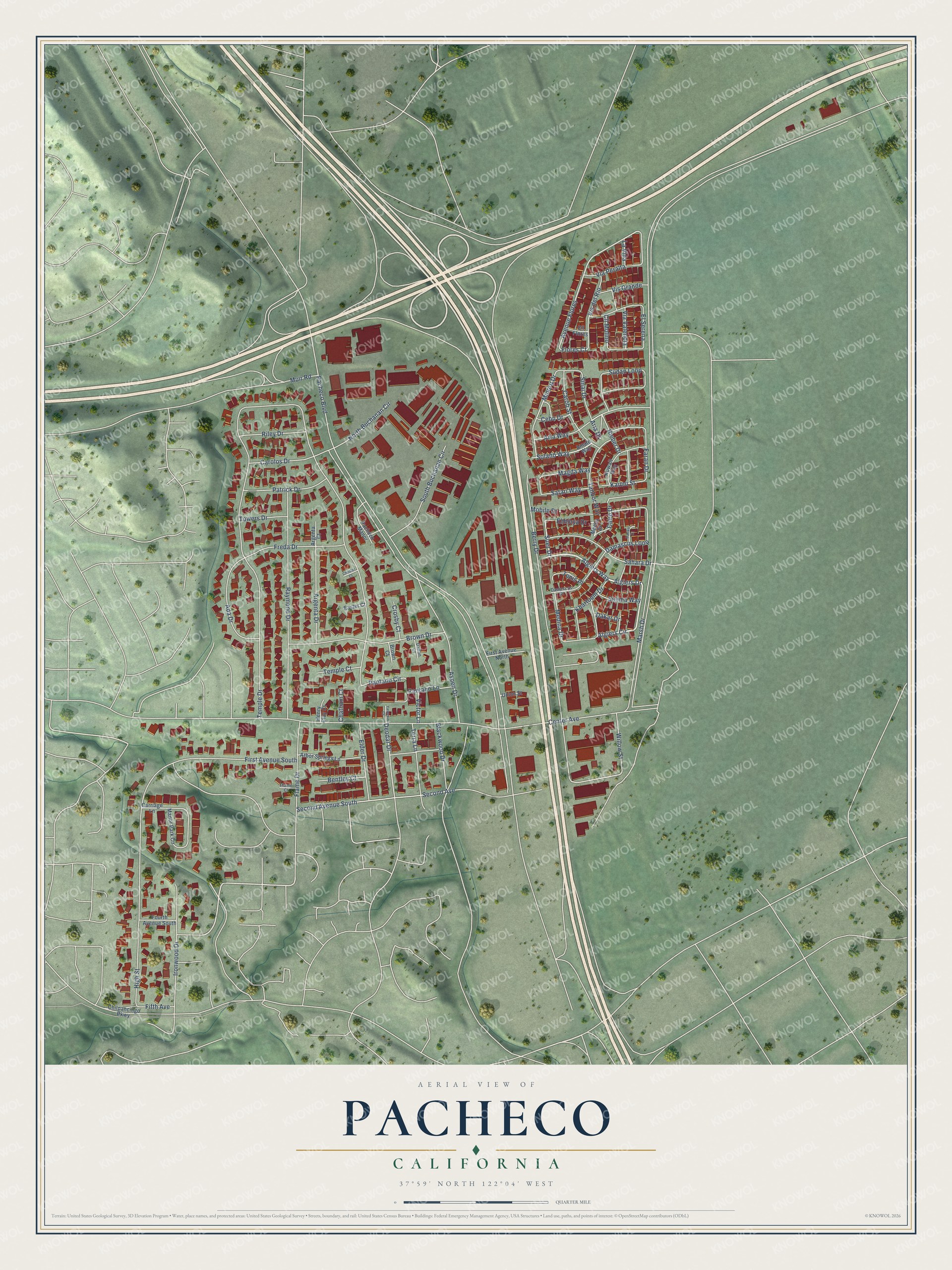
This beautifully detailed map of Pacheco, California was created in 2026 using aerial imagery combined with modern topographical, census, street and landmark data. It's a modern aerial view of Pacheco in Contra Costa County, California, that combines modern data with a vintage aesthetic. The roads feature printed names, and if you look closely you can find your exact house accurately shown in its correct location.
Explore an aerial view of Pacheco, California
On this map you'll find Algiers Way, Algiers Circle, Suez Drive, Algiers Drive, Avenue Flores, Second Avenue South, Deodar Drive, Solano Way, Minoru Drive, Flores Court, Marsh Drive, Temple Drive, and more. Each red shape is a building, so zoom in on the preview and look for yours.
Pacheco is a community in Contra Costa County. The Census Bureau counted 4,183 people here in 2020. Pacheco sits about 2 miles southeast of Vine Hill, 2 miles north of Pleasant Hill and 3 miles east of Martinez. The map prints the town name in its title panel, with the coordinates below it.
Take a closer look at the Pacheco map
Names on this map
These names are printed on this map.
Streets and roads: Algiers Way, Algiers Circle, Suez Drive, Algiers Drive, Avenue Flores, Second Avenue South, Deodar Drive, Solano Way, Minoru Drive, Flores Court, Marsh Drive, Temple Drive.
More street names, A to Z
Ada Drive, Amate Way, Arbor Springs Lane, Argenta Court, Argenta Drive, Aria Drive, Aria Way, Aspen Drive, Barika Court, Bentley Court, Berry Drive, Blackwood Drive, Brown Court, Brown Drive, Cairo Drive, Carob Street, Carolos Drive, Carriage Lane, Cebu Drive, Center Avenue, Chatham Court, Chester Court, Chilpancingo Parkway, Cll Flores, Cll Molino, Crosby Court, Dakar Drive, Dalton Court, Damascus Drive, Damascus Loop, Easter Court, Elder Drive, Elminya Drive, El Serena, Faran Drive, Fifth Avenue, First Avenue North, First Avenue South, Flame Court, Flame Drive, Fourth Avenue South, Freda Drive, Henry Clay Court, Hieber Drive, High Street, Ironwood Drive, Kaimu Street, Khartoum Drive, Kuwait Way, La Vina, Magda Way, Manor Park Circle, Mecca Drive, Medina Drive, Mobile Drive, Muir Road, North Buchanan Circle, Pacheco Boulevard, Pacheco Manor, Pantano Circle, Pantano Lane, Patrick Drive, Raymond Drive, Riley Drive, Safari Way, Sahara Drive, Second Avenue, Selima Way, Sinai Drive, South Buchanan Circle, Sudan Loop, Tanbor Way, Temple Court, Terra Lane, Towers Drive, Tunis Place, Union Street, Via Peralta, Via Valencia, Victor Lane, Vis del Rio, Vis Grande, Willow Street, Yasemin Court.
See it on a wall
The Pacheco map as a framed print. Swipe for more.


Created by KNOWOL in 2026. The buildings are small red shapes, the roads carry their printed names, and shaded relief shows the shape of the land. The title panel reads "AERIAL VIEW OF PACHECO, CALIFORNIA" with 37°59' NORTH 122°04' WEST.
It suits a den, a classroom or a front hall, and it makes a gift for anyone with Pacheco roots. Open the preview and find the block you know. See sizes and frames for the Pacheco map.