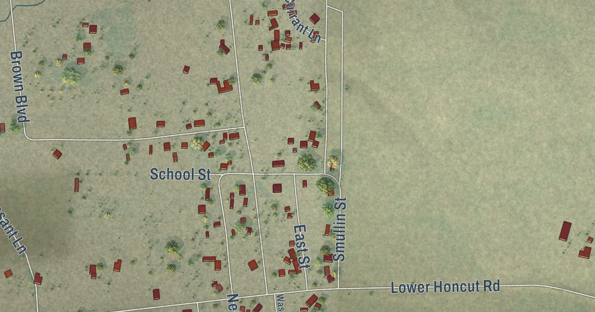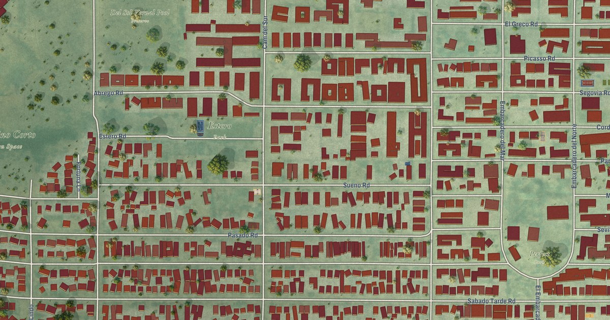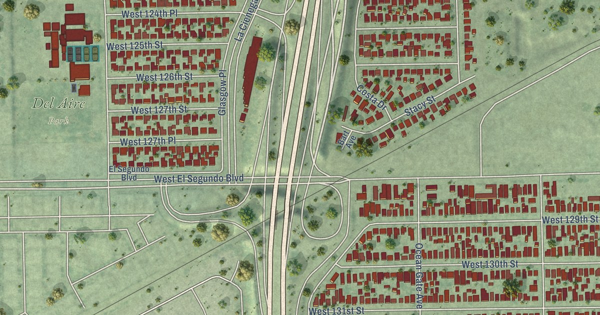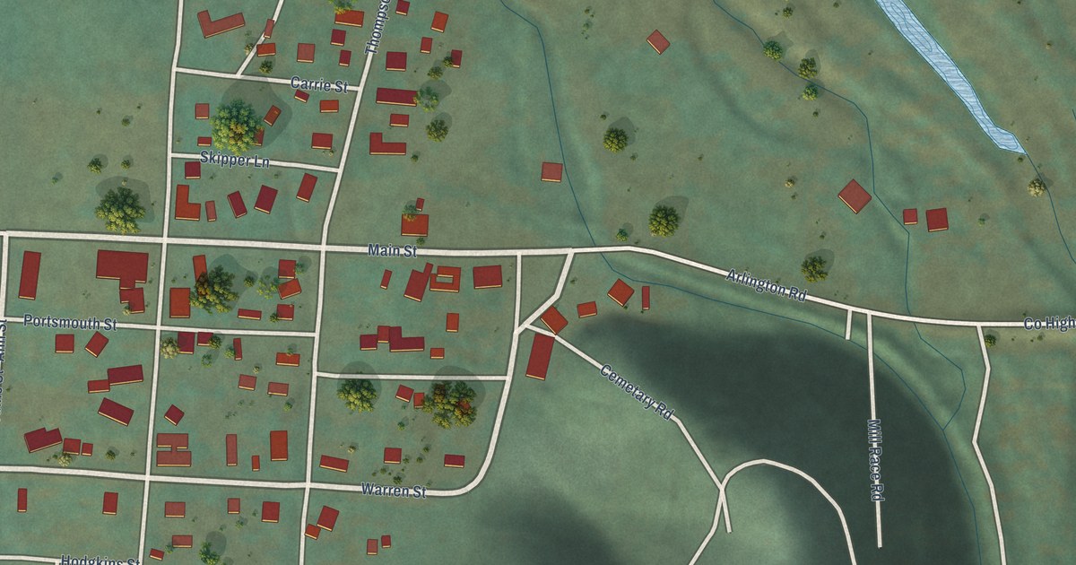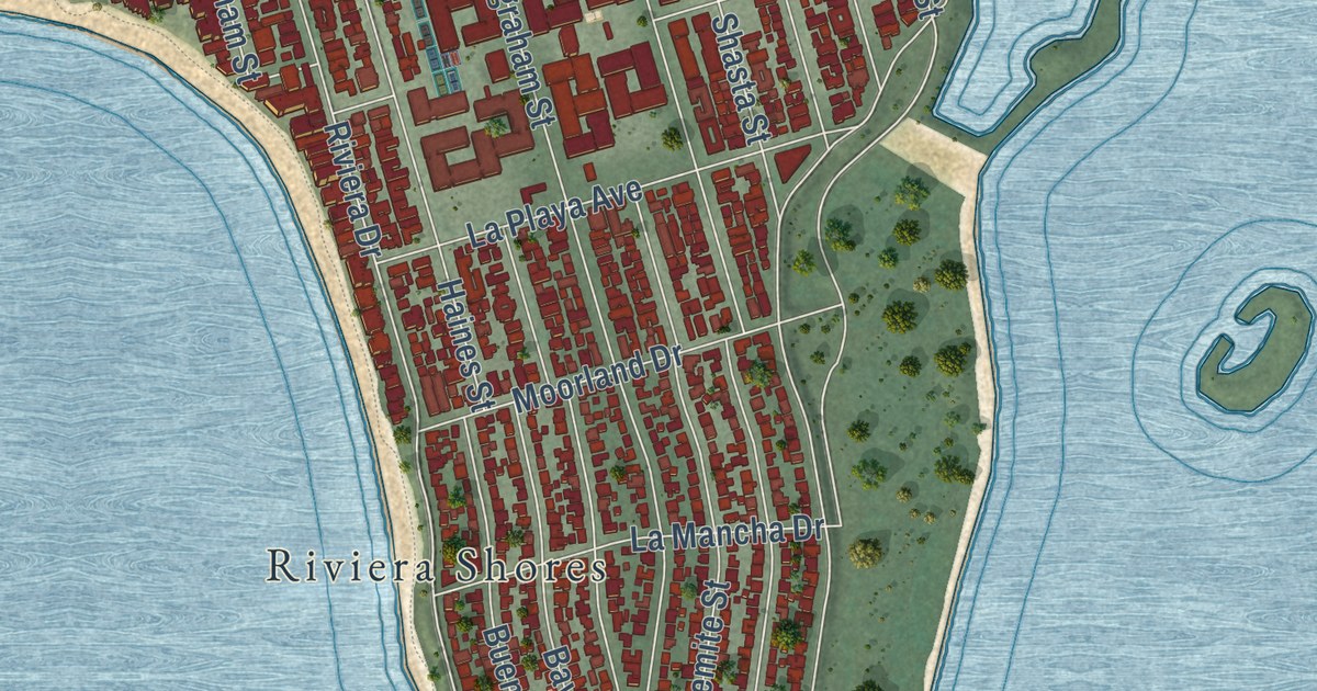
This beautifully detailed map of Pacific Beach, California was created in 2026 using aerial imagery combined with modern topographical, census, street and landmark data. It’s a one-of-a-kind view of Pacific Beach that combines accurate data with a vintage aesthetic. The map shows every building in its true location, many of the roads carry their names, and the shaded topographic relief shows the shape of the land.
Explore an aerial view of Pacific Beach, California
On the map you’ll find Riviera Shores, along with Mission Boulevard, La Jolla Boulevard, Mission Bay Drive, Bluffside Avenue, Pacifica Drive, Pacific Beach Drive, Turquoise Street, Everts Street, Foothill Boulevard, Garnet Avenue, Grand Avenue, and more. If you look closely you can even find your house accurately drawn in its correct location. Zoom in on the preview to look for yours.
Did you know this piece of Pacific Beach, California history?
From the City of San Diego: "Pacific Beach was included within the original Pueblo Lands, which divided the area into a large grid pattern in the mid-1800s."
Pacific Beach is a place in San Diego County.
Take a closer look at the Pacific Beach map
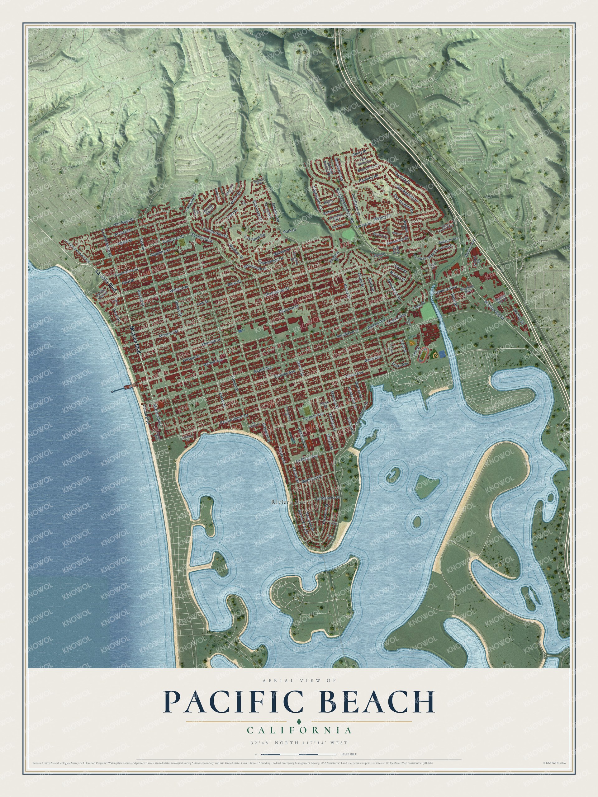
Street and place names on the Pacific Beach, California map
These names are printed on the map of Pacific Beach, California.
Places: Riviera Shores.
Streets and roads: Mission Boulevard, La Jolla Boulevard, Mission Bay Drive, Pacifica Drive, Pacific Beach Drive, Turquoise Street, Everts Street, Foothill Boulevard, Garnet Avenue, Grand Avenue, Jewell Street, Chalcedony Street.
More street names, A to Z
Academy Street, Agate Street, Alta Bahia Court, Alta Vista Street, Alto Cerro Circle, Amity Street, Archer Street, Aster Street, Baja Cerro Circle, Balboa Avenue, Balfour Court, Bayard Street, Bayonne Drive, Bella Pacific Row, Belloc Court, Beryl Street, Beryl Way, Betty Street, Blackmore Court, Blom Street, Bluffside Avenue, Bond Street, Braemar Lane, Buena Vista Street, Bunker Hill Street, Calle Vis, Cardeno Drive, Cassandra Lane, Cass Street, Castle Hills Drive, Chico Street, Collingwood Drive, Crownhill Road, Crown Point Drive, Crystal Drive, Culver Street, Culver Way, Damon Avenue, Dawes Street, Del Rey Street, De Soto Street, Diamond Street, Dixie Drive, Donaldson Drive, Eden Drive, Edgeworth Road, Emelene Street, Emerald Street, Fanuel Street, Felspar Street, Figueroa Boulevard, Fogg Street, Fortuna Avenue, Fountain Street, Foutz Avenue, Geranium Street, Gresham Street, Haines Street, Haskell Street, Honeycutt Street, Hornblend Street, Ingraham Street, Kendall Street, La Cima Drive, Ladd Street, La Jolla Hermosa Avenue, La Jolla Mesa Drive, La Mancha Drive, Lamont Street, La Palma Street, La Playa Avenue, Law Street, Lee Street, Loring Street, Los Altos Road, Magnolia Avenue, Malden Street, Middleton Road, Missouri Street, Monmouth Drive, Moorland Drive, Morrell Street, Neoma Street, Noyes Street, Ocean Boulevard, Oliver Avenue, Olney Street, Opal Street, Pacific View Drive, Park Drive, Pendleton Street, Pico Place, Pico Street, Pico Way, Promontory Street, Quincy Street, Randall Street, Reed Avenue, Riviera Drive, Romney Road, San Aquario Drive, San Joaquin Drive, Sapphire Street, Sequoia Street, Shasta Street, Soledad Mountain Road, Soledad Rancho Road, Soledad Road, Soledad Way, Strand Way, Thomas Avenue, Tourmaline Street, Van Nuys Street, Vickie Drive, Vue du Bay Court, Walmar Lane, Wesley Drive, Westknoll Drive, Wilbur Avenue, Windsor Drive, Yosemite Street, Yost Drive, Yost Place.
See the Pacific Beach, California map on a wall
The Pacific Beach map as an 18 x 24 inch print in a black frame.

This beautifully detailed map of Pacific Beach makes an attractive addition to your office, library, or den, and it can even be used to teach children the geography and history of the area. It also makes a great gift for someone who left Pacific Beach and still calls it home. When you’re done exploring, click here to get your copy of the Pacific Beach map.